River forecast to rise to near-record; floods close more highways
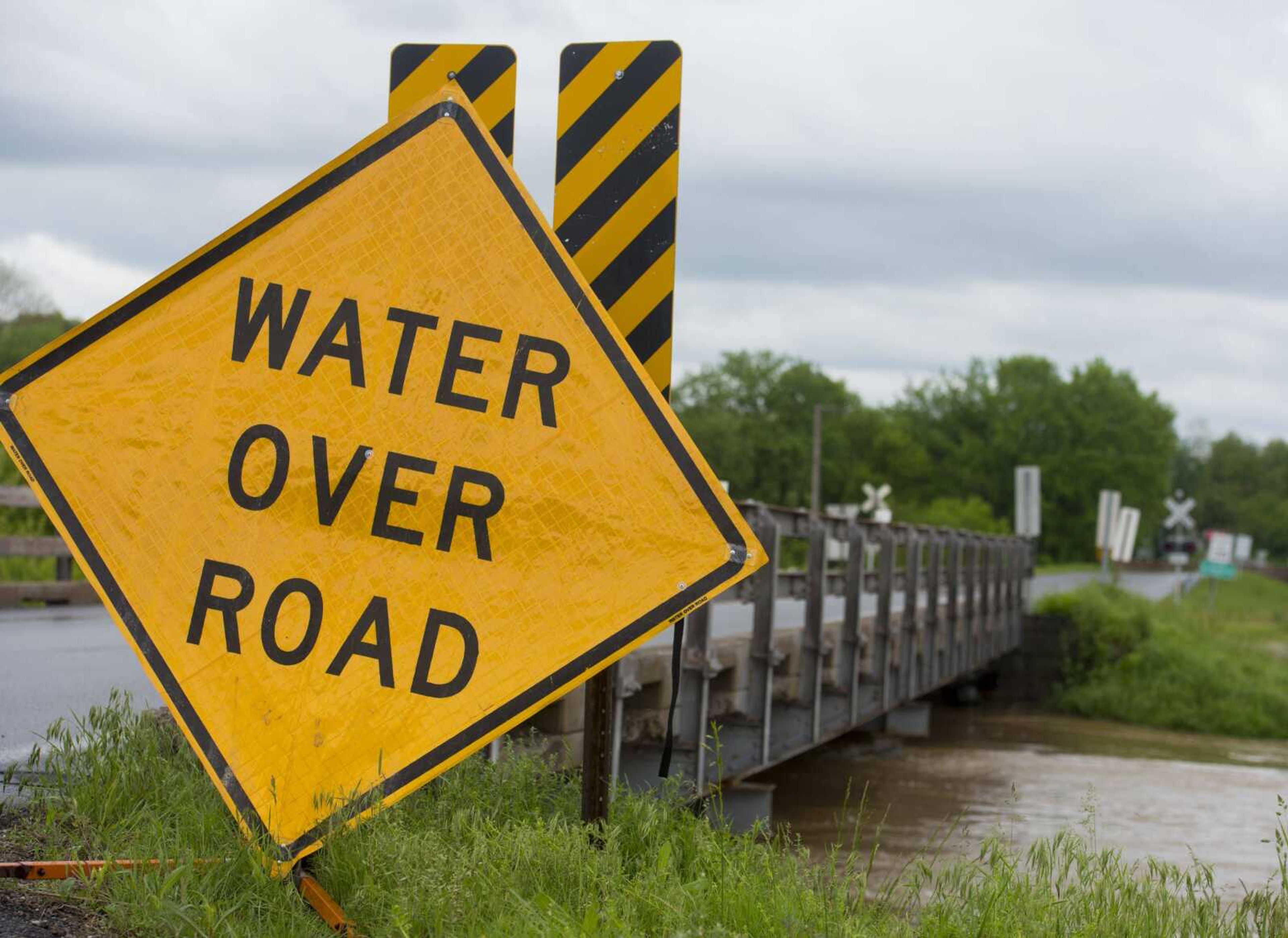
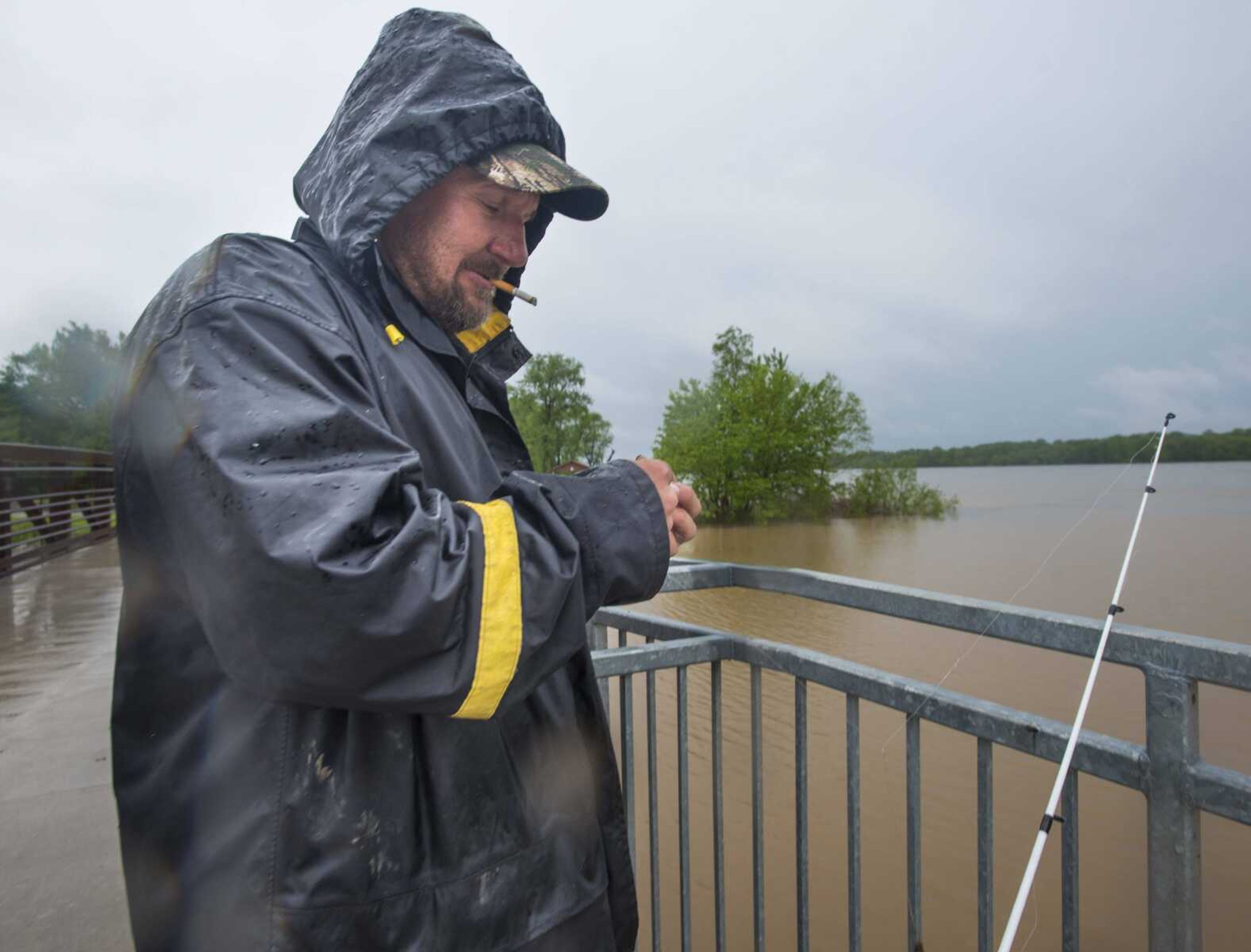
Rising floodwaters continued to close highways across the region, and an updated forecast predicts a near-record crest of the Mississippi River on Saturday. The National Weather Service in Paducah, Kentucky, predicts the Mississippi River will crest at 48.5 feet Saturday at Cape Girardeau, almost exactly the second-highest mark of 48.49 feet, set in 1993...
Rising floodwaters continued to close highways across the region, and an updated forecast predicts a near-record crest of the Mississippi River on Saturday.
The National Weather Service in Paducah, Kentucky, predicts the Mississippi River will crest at 48.5 feet Saturday at Cape Girardeau, almost exactly the second-highest mark of 48.49 feet, set in 1993.
The highest recorded crest of the Mississippi River at Cape Girardeau was 48.86 feet on Jan. 2, 2016.
The floodwall in Cape Girardeau was designed to handle flood waters of about 55 feet.
David Humphrey, weather specialist with the National Weather Service in Paducah, said more heavy rain is likely later this week.
Humphrey said the NWS predicts a dry Monday and Tuesday. But as early as Tuesday night, more rain is forecast.
"At midweek, you're looking at accumulations of one and a quarter to one and a half inches at Cape Girardeau," Humphrey said.
He said a swath in Perry County might see as much as two inches Wednesday.
Humphrey said although rainfall totals vary widely across the Cape Girardeau region, by the end of Wednesday, totals from recent storms could be in the six- to eight-inch range, including the weekend's rain.
"The water has a little lag time as it comes up and takes awhile to subside," Humphrey said, "and any additional fall from scattered showers can slow floodwater recession."
Cape Girardeau County Sheriff John Jordan and the county commission on Sunday morning issued a voluntary evacuation order for Allenville.
Those living along the Diversion Channel headwaters from Bollinger County into Cape Girardeau County also will be affected.
"A large cell of storms and rain is in our area and will be for some time moving north over the Castor and Whitewater river basins," Jordan said in a news release Sunday. "With the saturated ground and high water levels, a dangerous flash-flooding event could occur rapidly."
With Cape Girardeau County in the midst a flash-flood warning, little time would be available to evacuate to higher ground, Jordan said in the release.
He said a swift-water rescue team is on standby if a full evacuation is ordered.
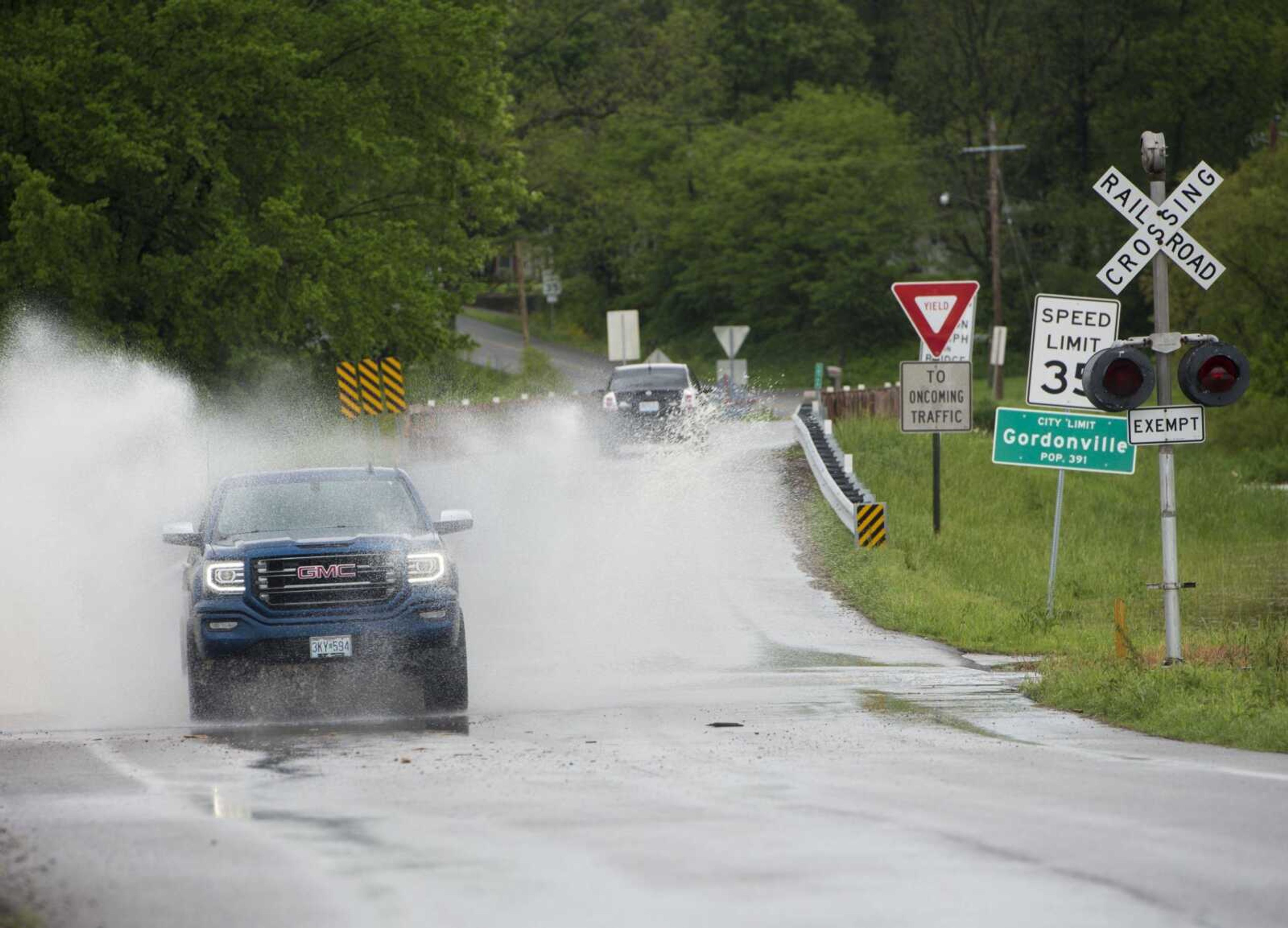
Several highways in Southeast Missouri remained closed Sunday evening, with more closures expected as floodwaters rise, according to a news release by the Missouri Department of Transportation.
Interstate 44 was closed in three places in mid-Missouri because of flooding, and closures also affected U.S. 61 near Troy, Missouri, and parts of U.S. 60 in southern Missouri.
For more information about road conditions, call MoDOT's customer service center at (888) 275-6636 or visit the Traveler Information Map at traveler.modot.org/map/?district=SOUTHEAST.
In a news release Sunday, MoDOT reminded motorists not all flooded roads will have signs, and they should not drive through water on roads.
"Less than a foot of moving water is enough to push a vehicle," the news release stated.
Government officials are acting, as well.
U.S. Sen. Claire McCaskill on Sunday reminded people to pay close attention to guidance from first responders and local officials.
"And I'm ready to assist with any federal resources that might be needed as the floodwaters recede and our communities begin to recover," McCaskill said.
Gov. Eric Greitens followed Saturday's declaration of a state of emergency with an executive order Sunday. The order activated the National Guard and orders "they be prepared to move hundreds, perhaps thousands of troops to assist in flood-fighting operations across the state."
"These floods may well be deep and destructive. We will keep you updated as we get more information," Greitens said during a news conference.
Greitens said two people have died in Missouri because of floods.
First responders in Missouri performed 111 evacuations and 135 rescues over the weekend, according to an Associated Press report.
mniederkorn@semissourian.com
(573) 388-3630
---
Area highway closings
Cape Girardeau County
- Route OO from Route HH to County Road 375
- Route A from County Road 255 to Route U and at Route F
- Route N from Route U to Route NN
- Route F at Route A
- Route HH from Route OO to end of state maintenance
- Route U from Route T to Route A
Perry County
- U.S. 61 from County Road 506 to County Road 502
- Route E from County Road 534 to County Road 322
- Route F
- Route M
- Route AA between County Road 508/510 and County Road 522
- Route A from Wittenberg to County Road 448
Scott County
- Route A from U.S. 61 to Route EE
Bollinger County
- Route DD near Highway 34 to 5 miles south of Route M (near Bollinger/Madison County line)
- Route H north of Highway 51
- Highway 51 near Route H
Stoddard County
- Route K from Route BB to Route V
- Route M at Leora; near Route K
- Route T from Highway 51 to Cobb
- Route O east of Advance, near County Road 310
Source: Missouri Department of Transportation
Connect with the Southeast Missourian Newsroom:
For corrections to this story or other insights for the editor, click here. To submit a letter to the editor, click here. To learn about the Southeast Missourian’s AI Policy, click here.


