NewsJuly 17, 2012
Construction of I-55
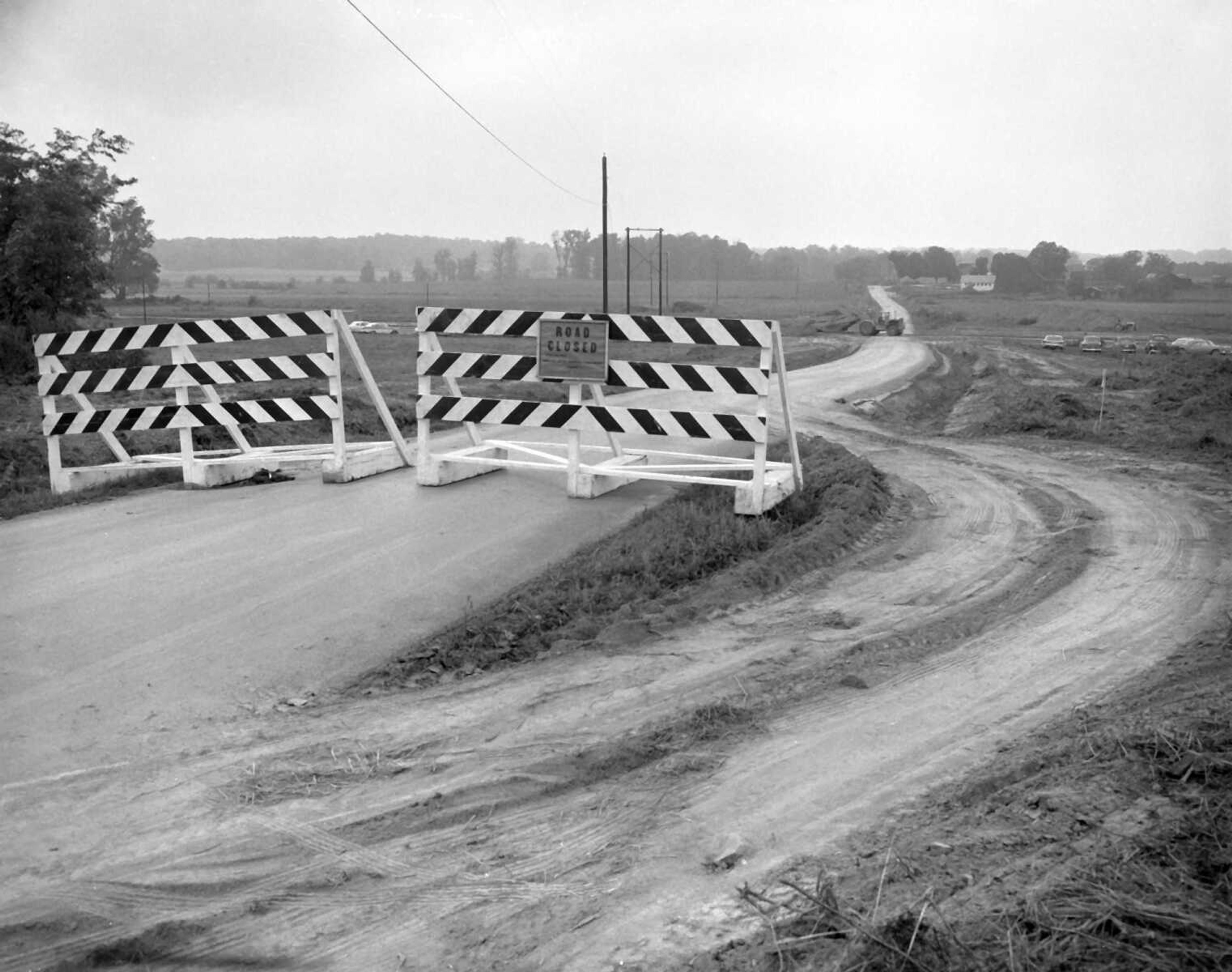
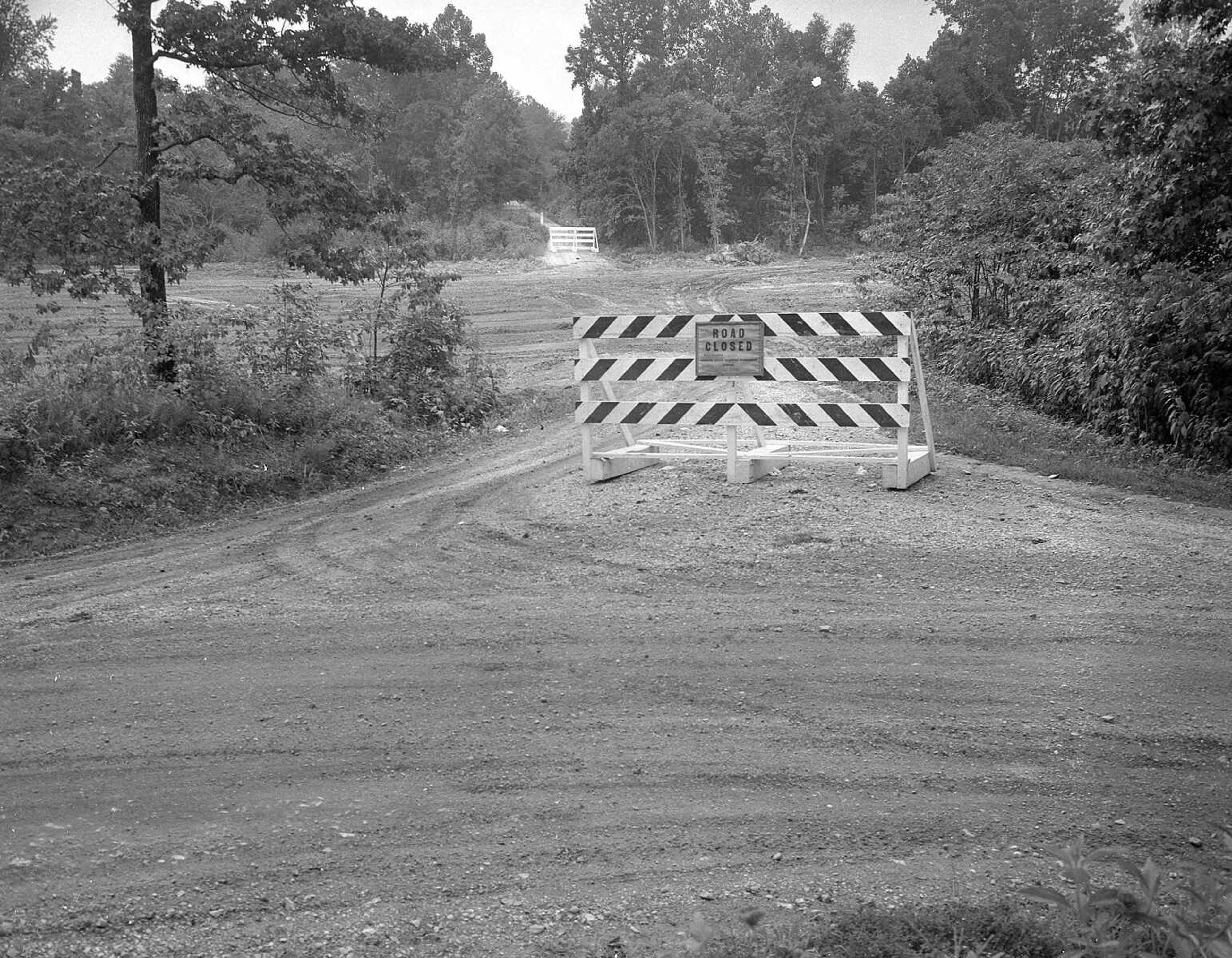
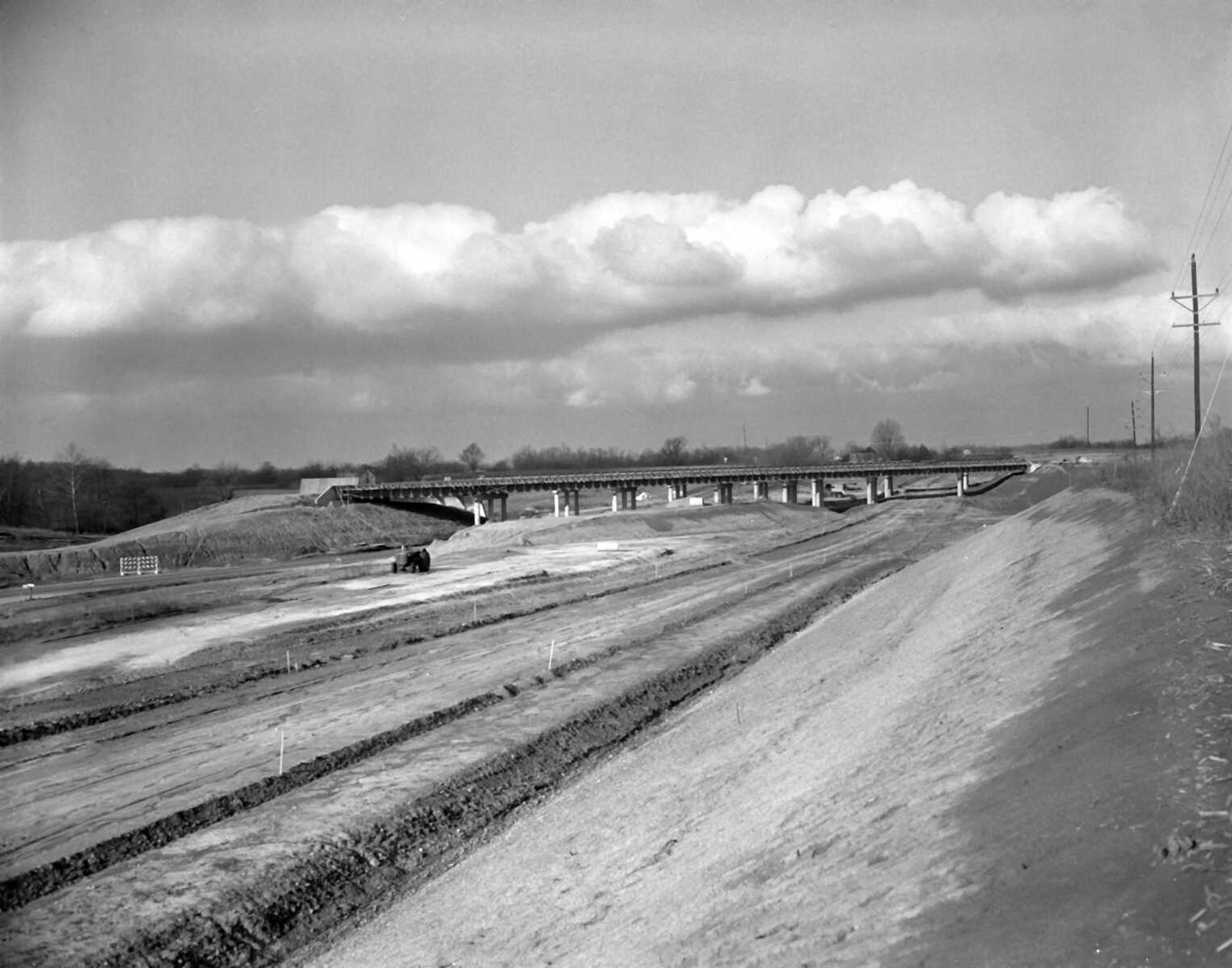
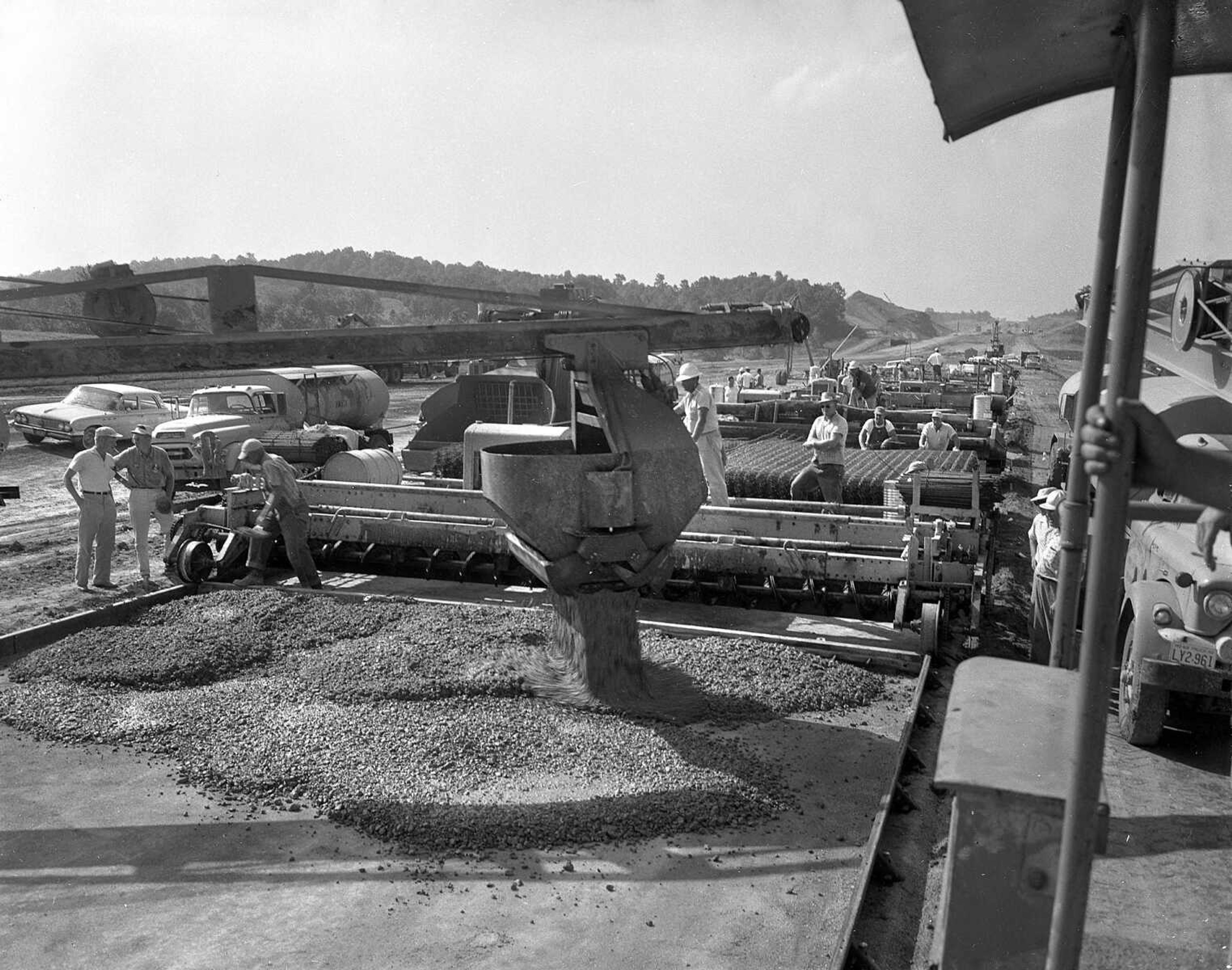
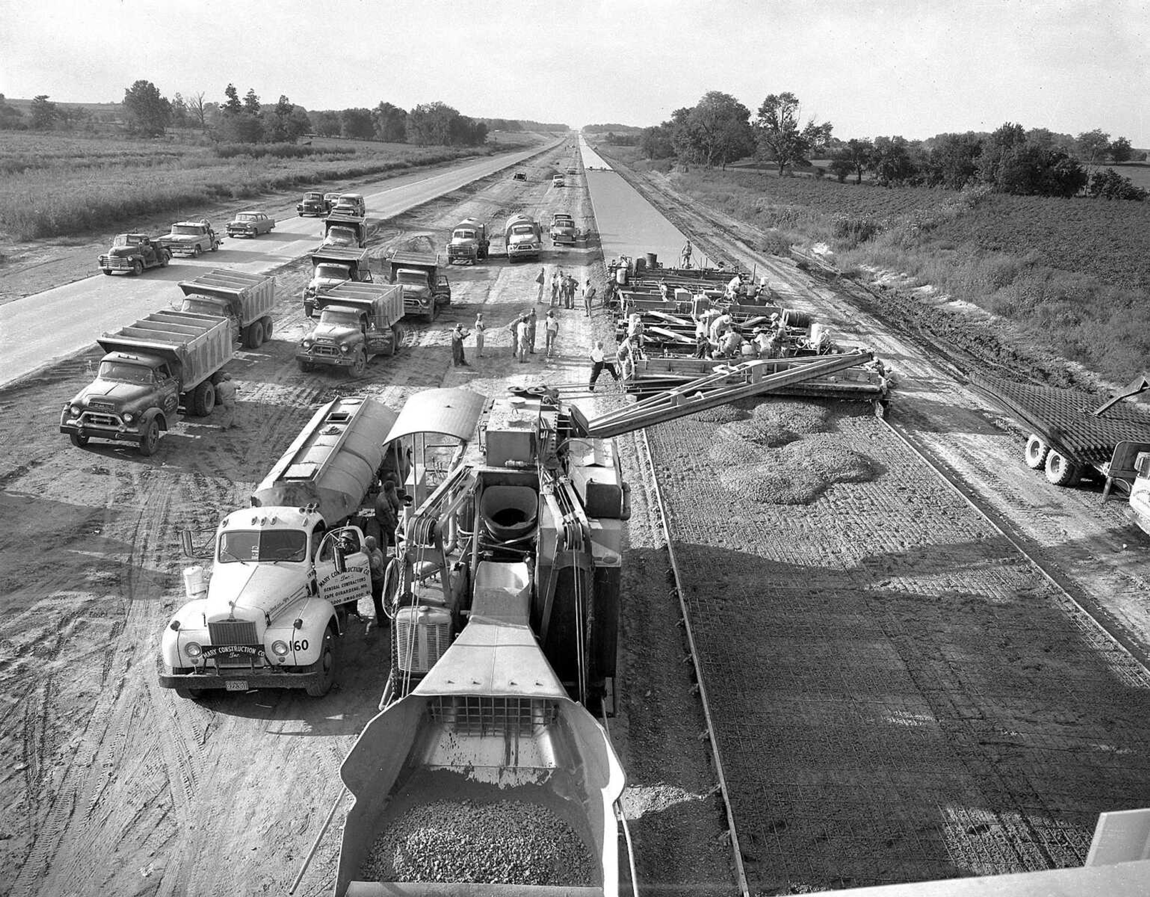
View historical photos of the construction of I-55 in the 1960's.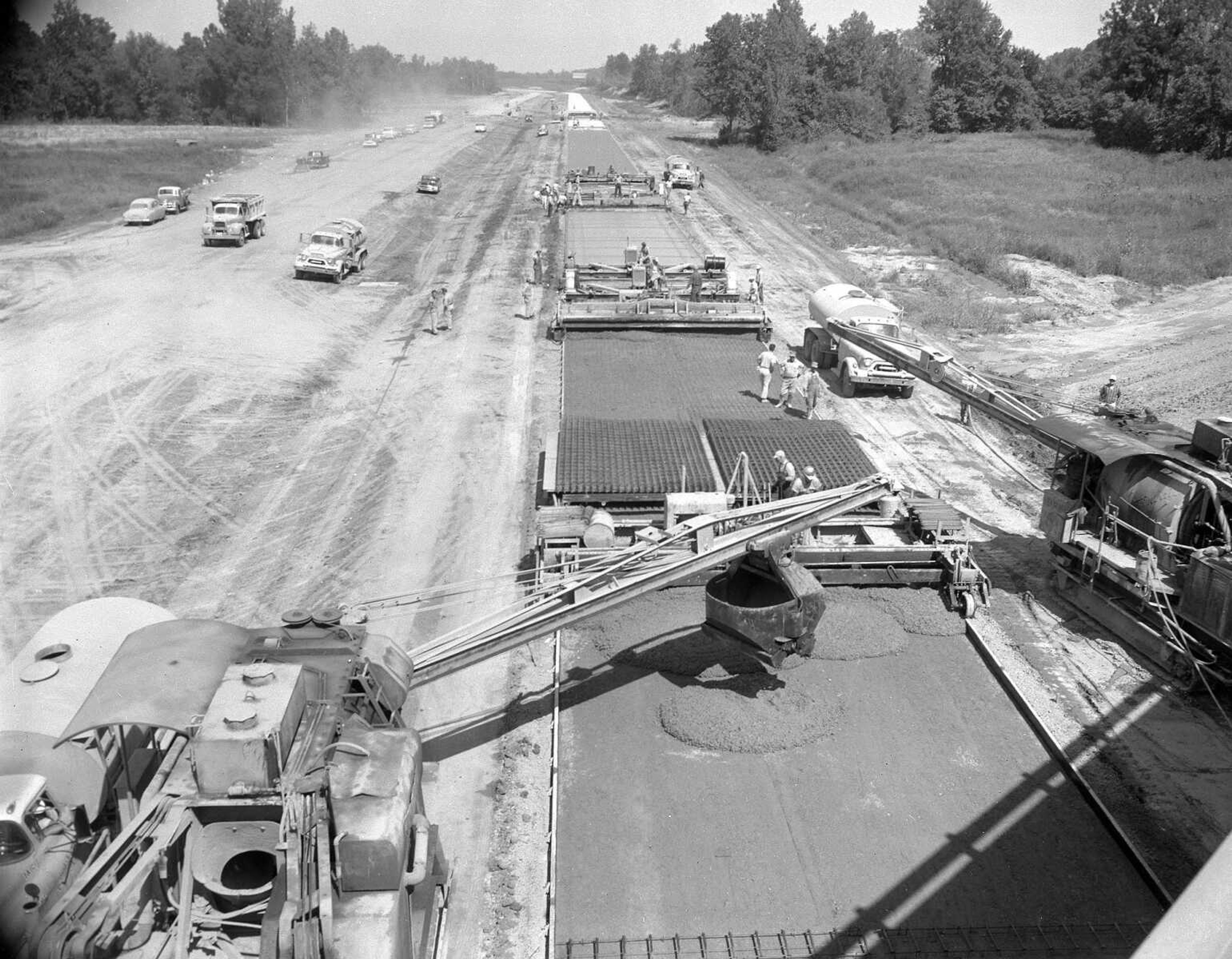


Receive Daily Headlines FREESign up today!
View historical photos of the construction of I-55 in the 1960's.
Story Tags
Connect with the Southeast Missourian Newsroom:
For corrections to this story or other insights for the editor, click here. To submit a letter to the editor, click here. To learn about the Southeast Missourian’s AI Policy, click here.


Advertisement
Receive Daily Headlines FREESign up today!
