NewsJune 22, 2015
Flooding - June 22
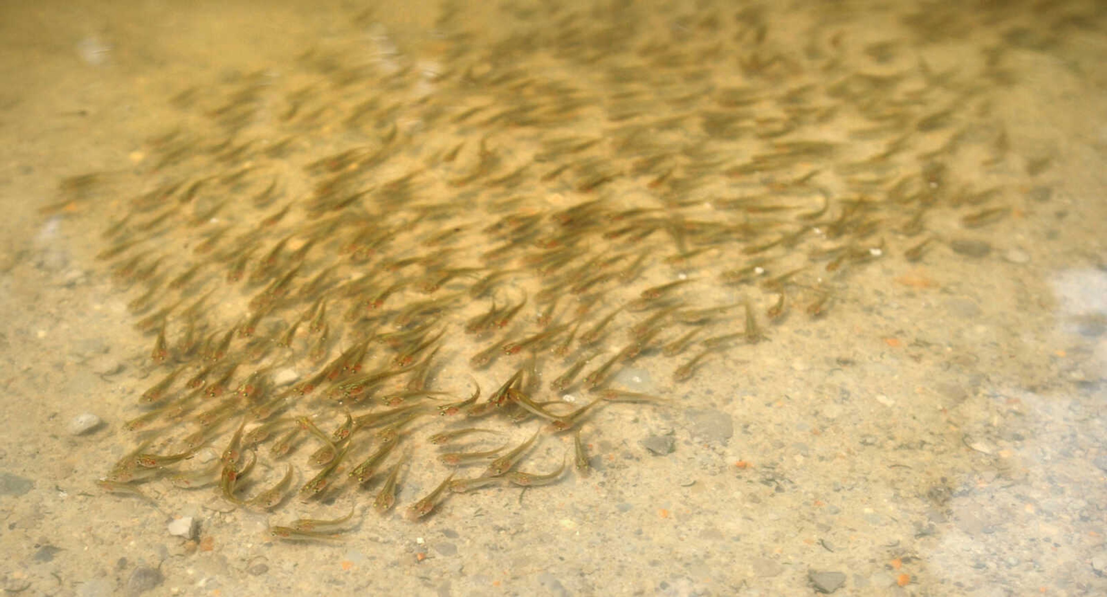
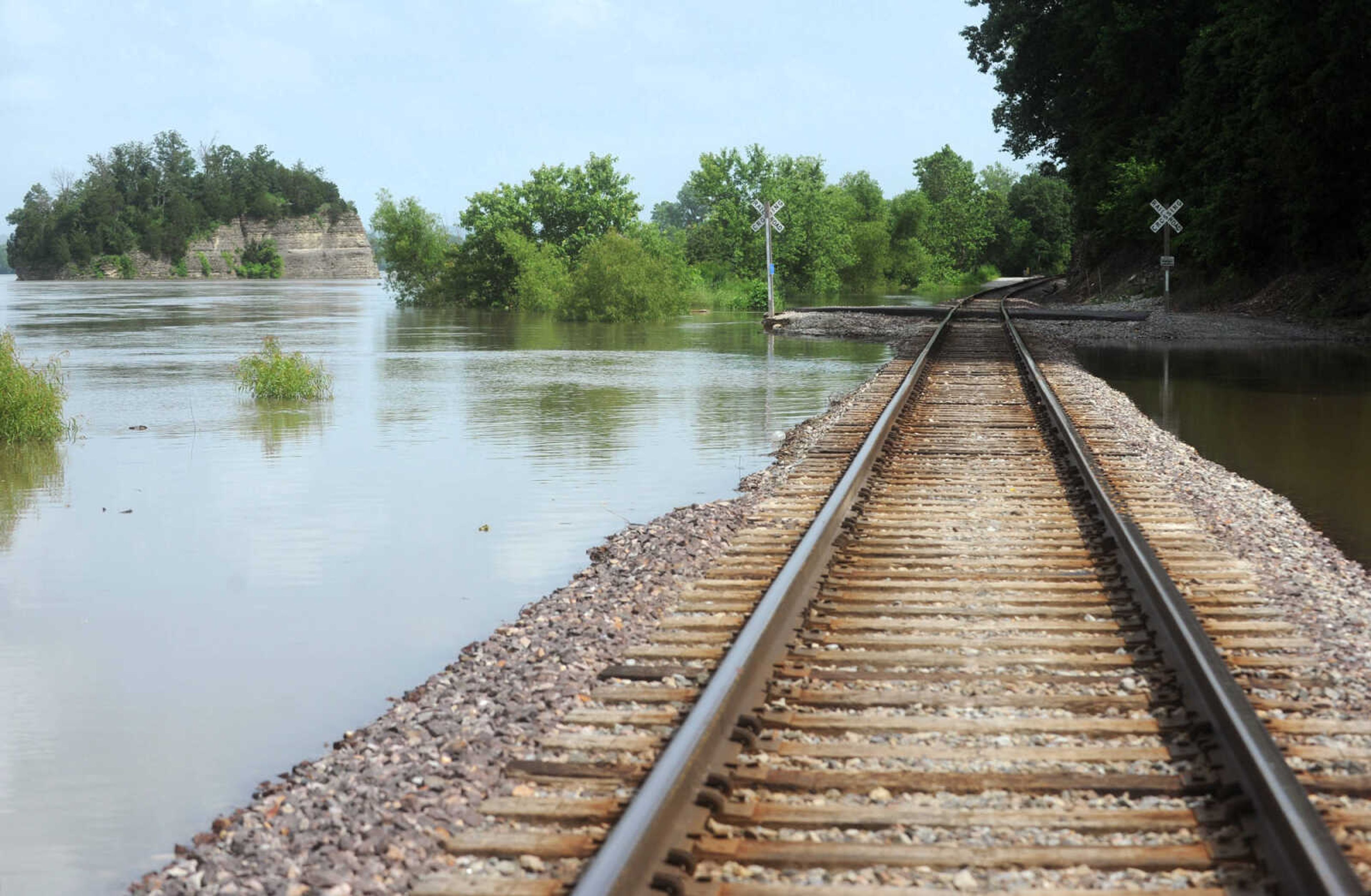
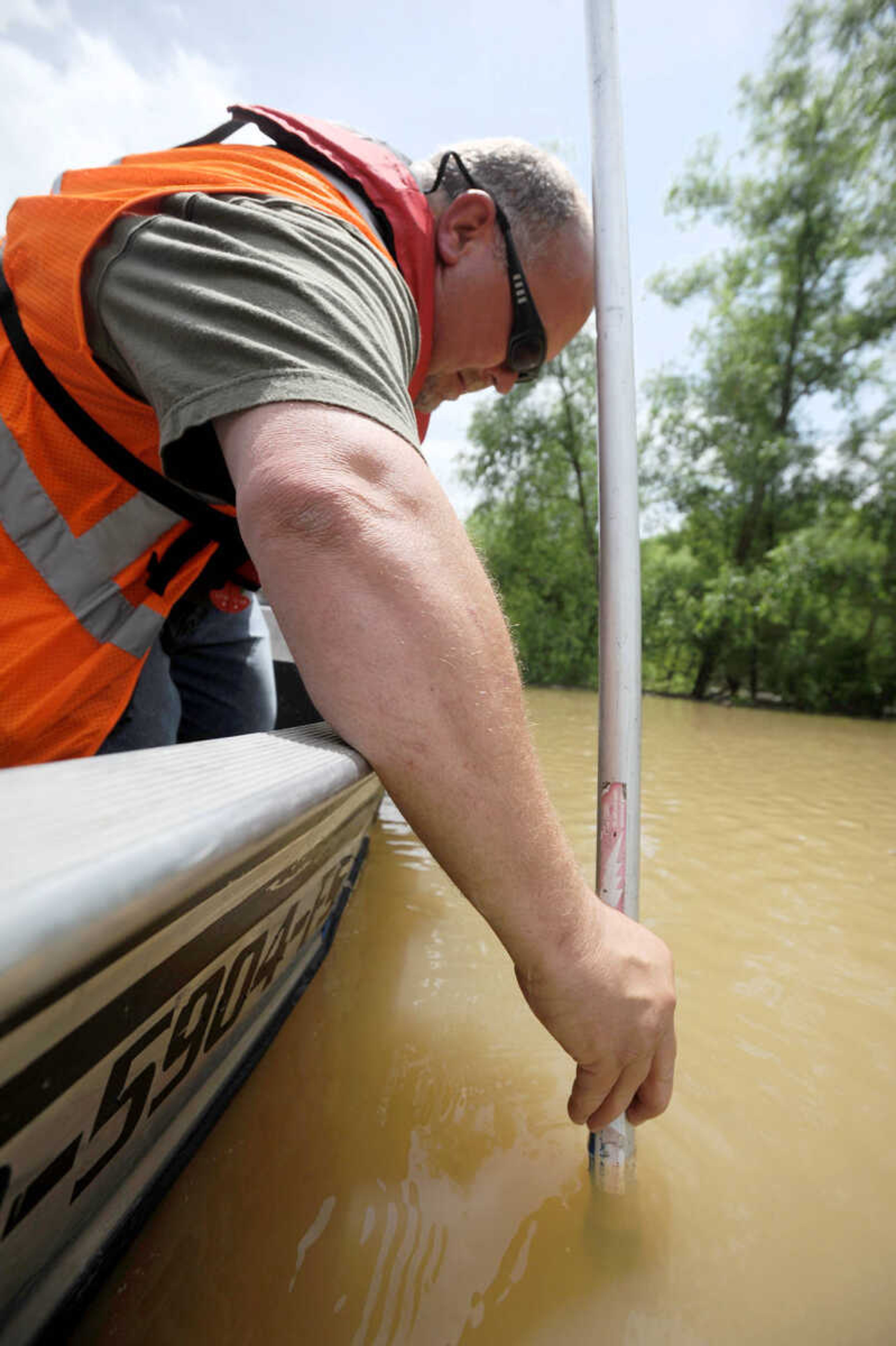
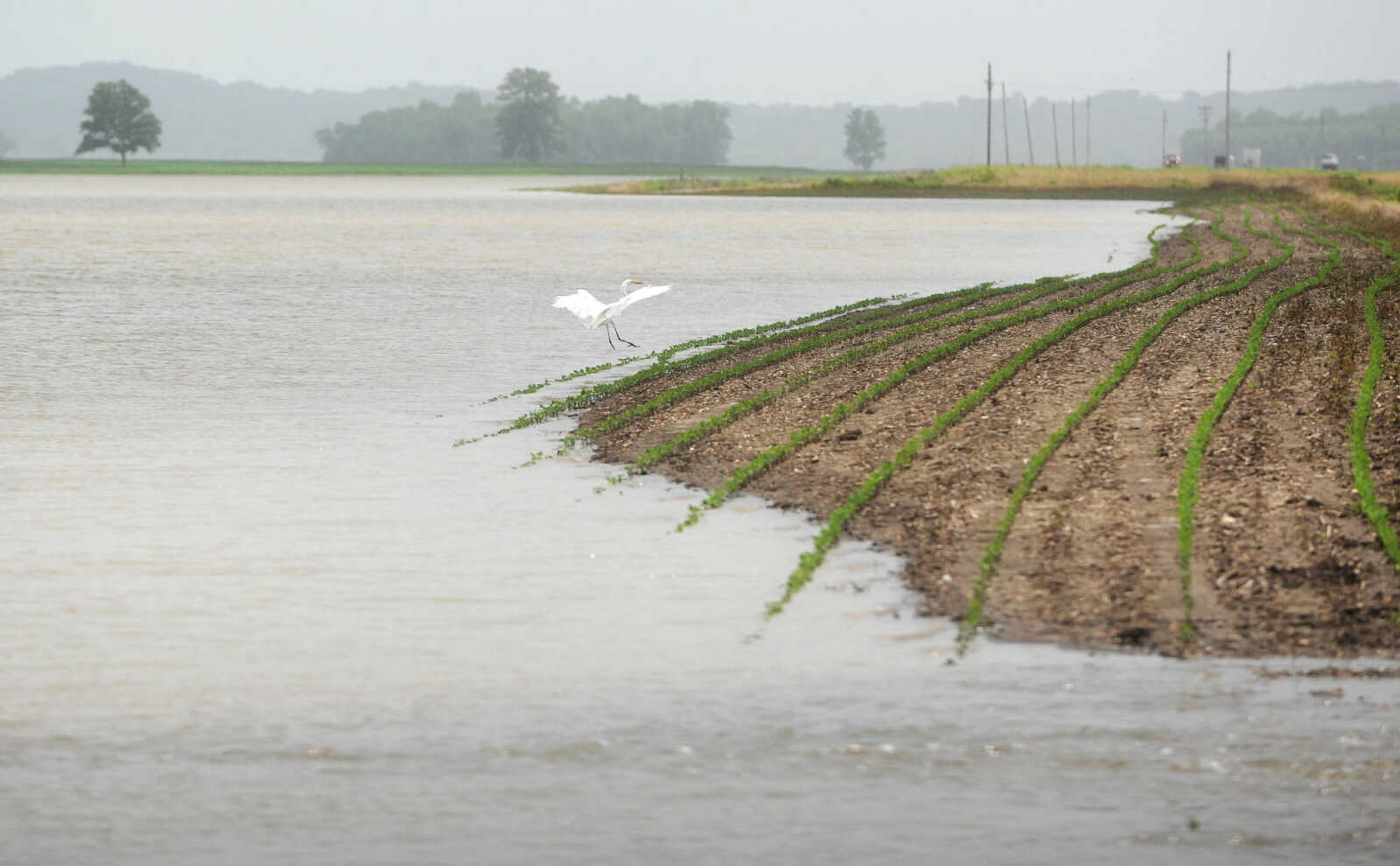
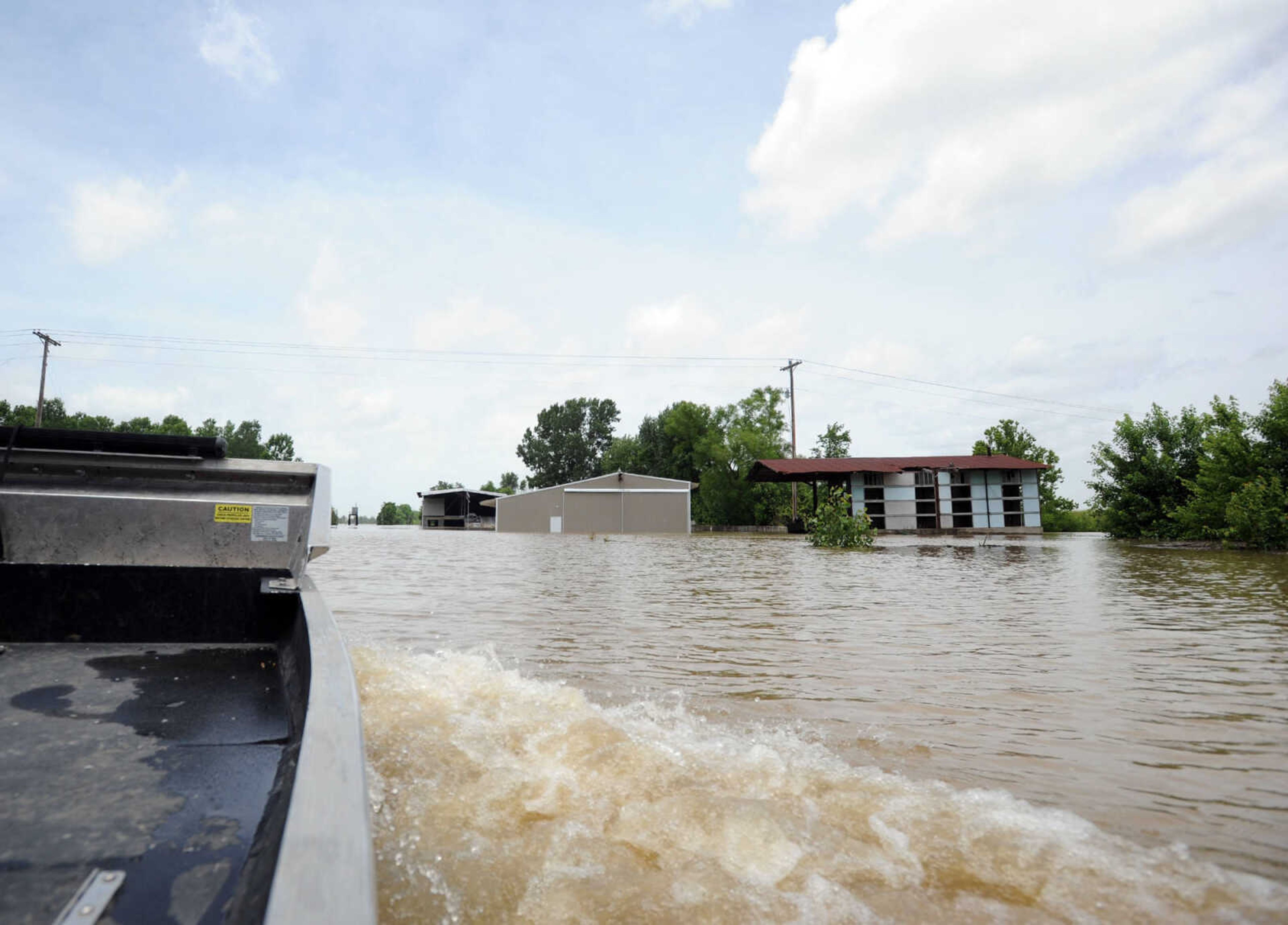
Floodwater from the Mississippi River continues to cause problems, Monday, June 22, 2015.


Receive Daily Headlines FREESign up today!
Floodwater from the Mississippi River continues to cause problems, Monday, June 22, 2015.
Story Tags
Connect with the Southeast Missourian Newsroom:
For corrections to this story or other insights for the editor, click here. To submit a letter to the editor, click here. To learn about the Southeast Missourian’s AI Policy, click here.


Advertisement
Receive Daily Headlines FREESign up today!
