NewsMay 6, 2017
2017 Flooding - May 6
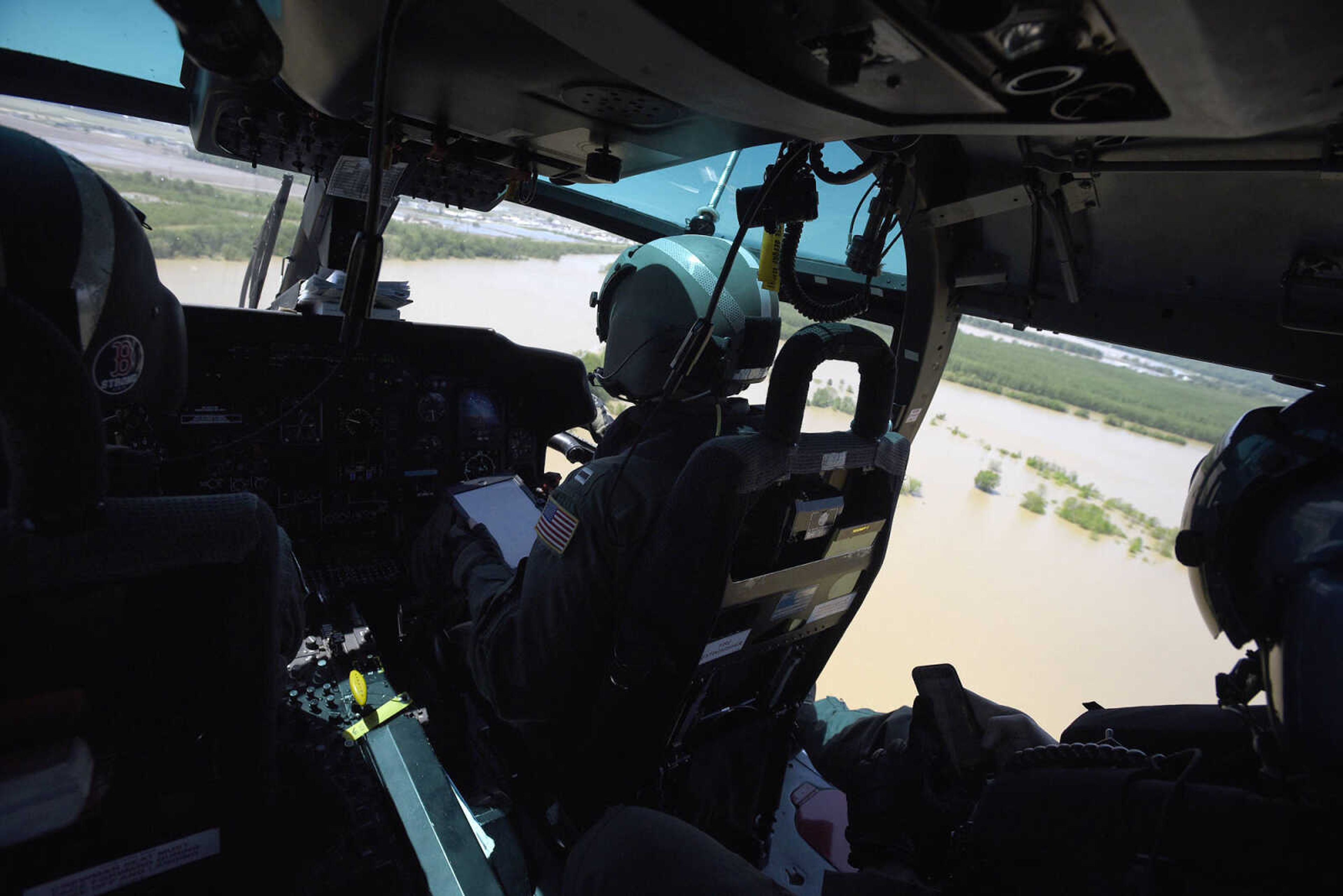
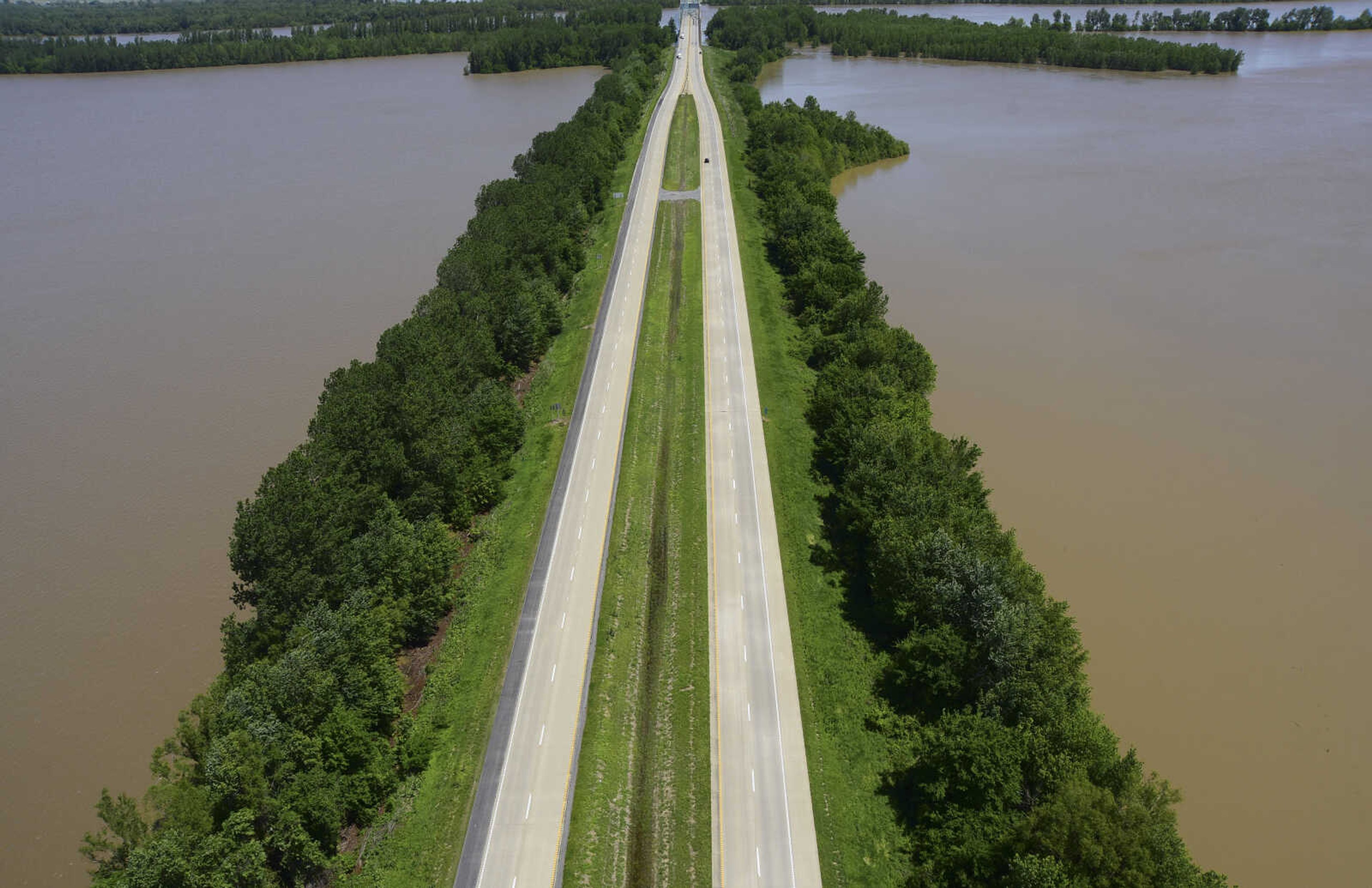
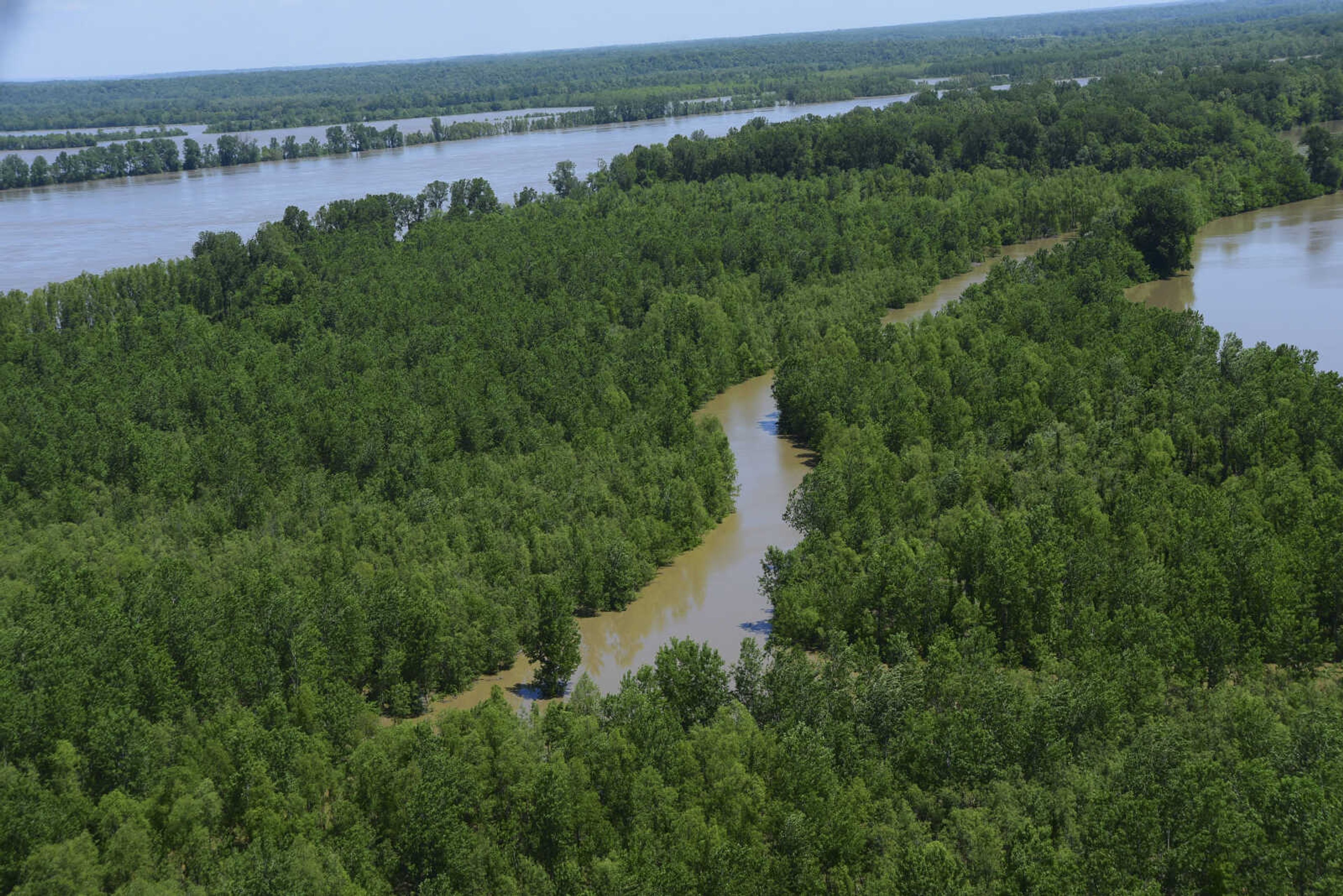
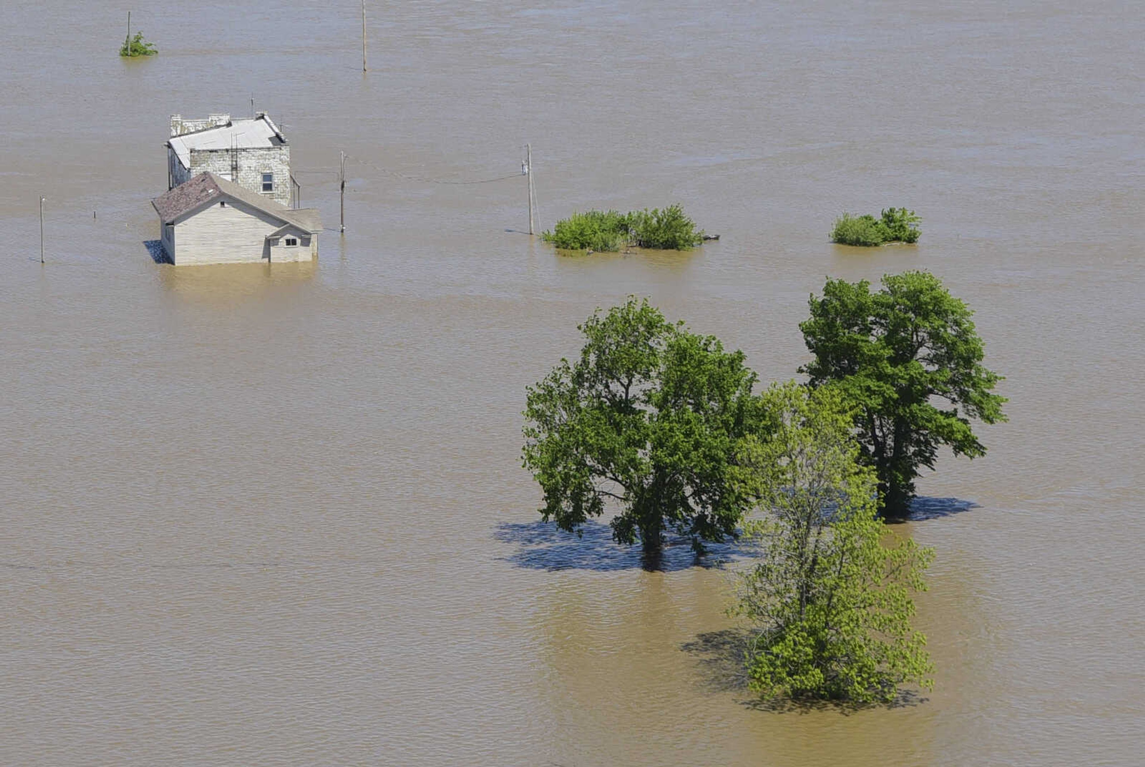
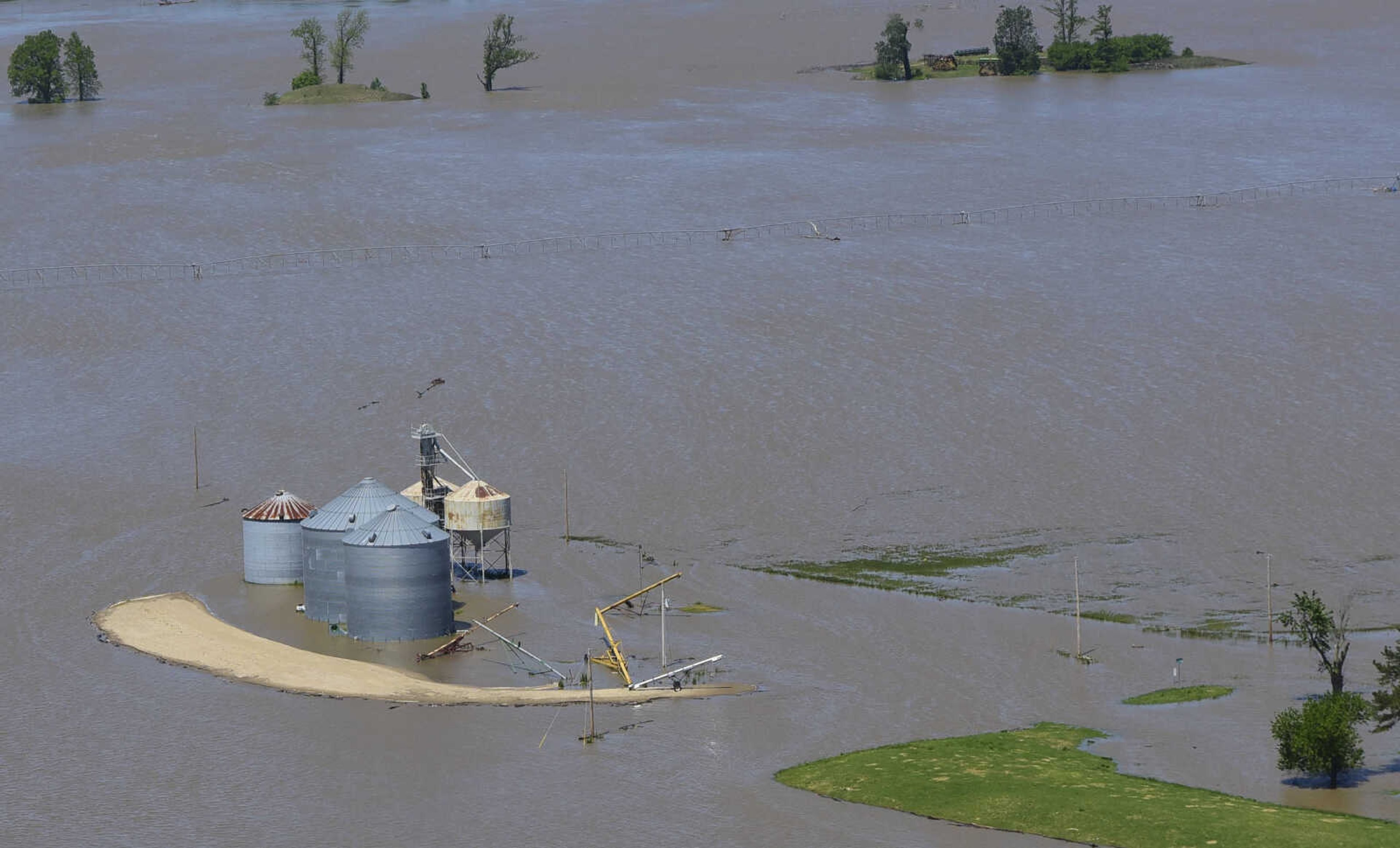
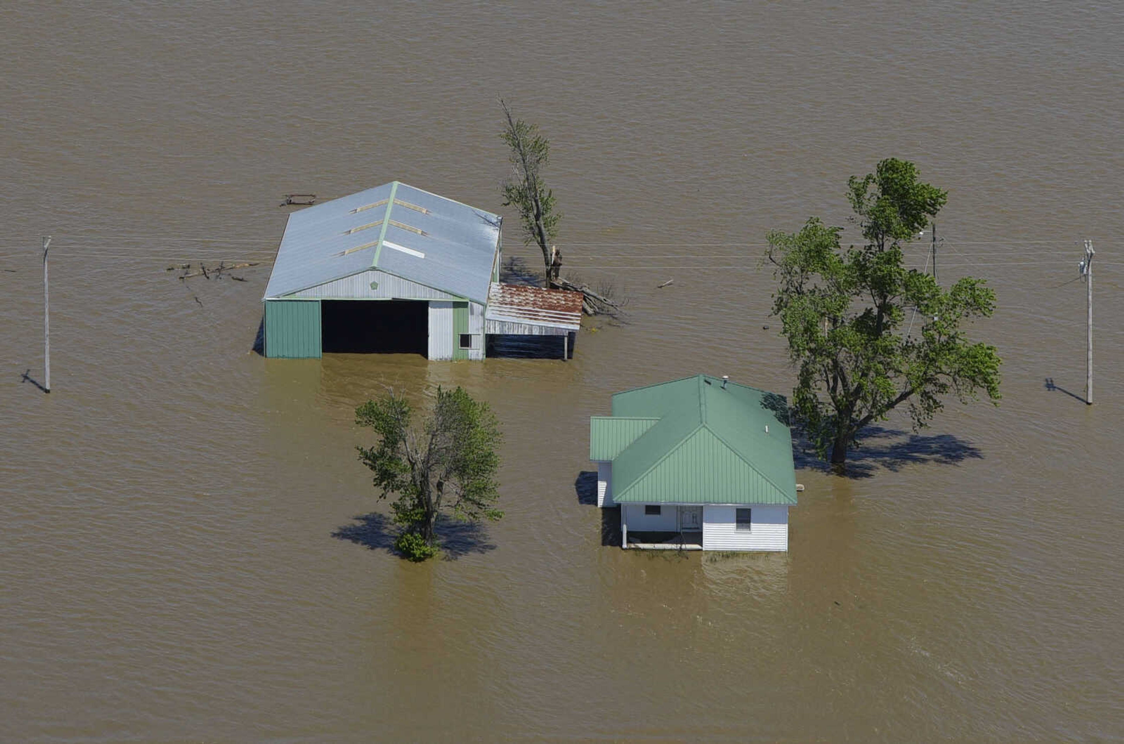
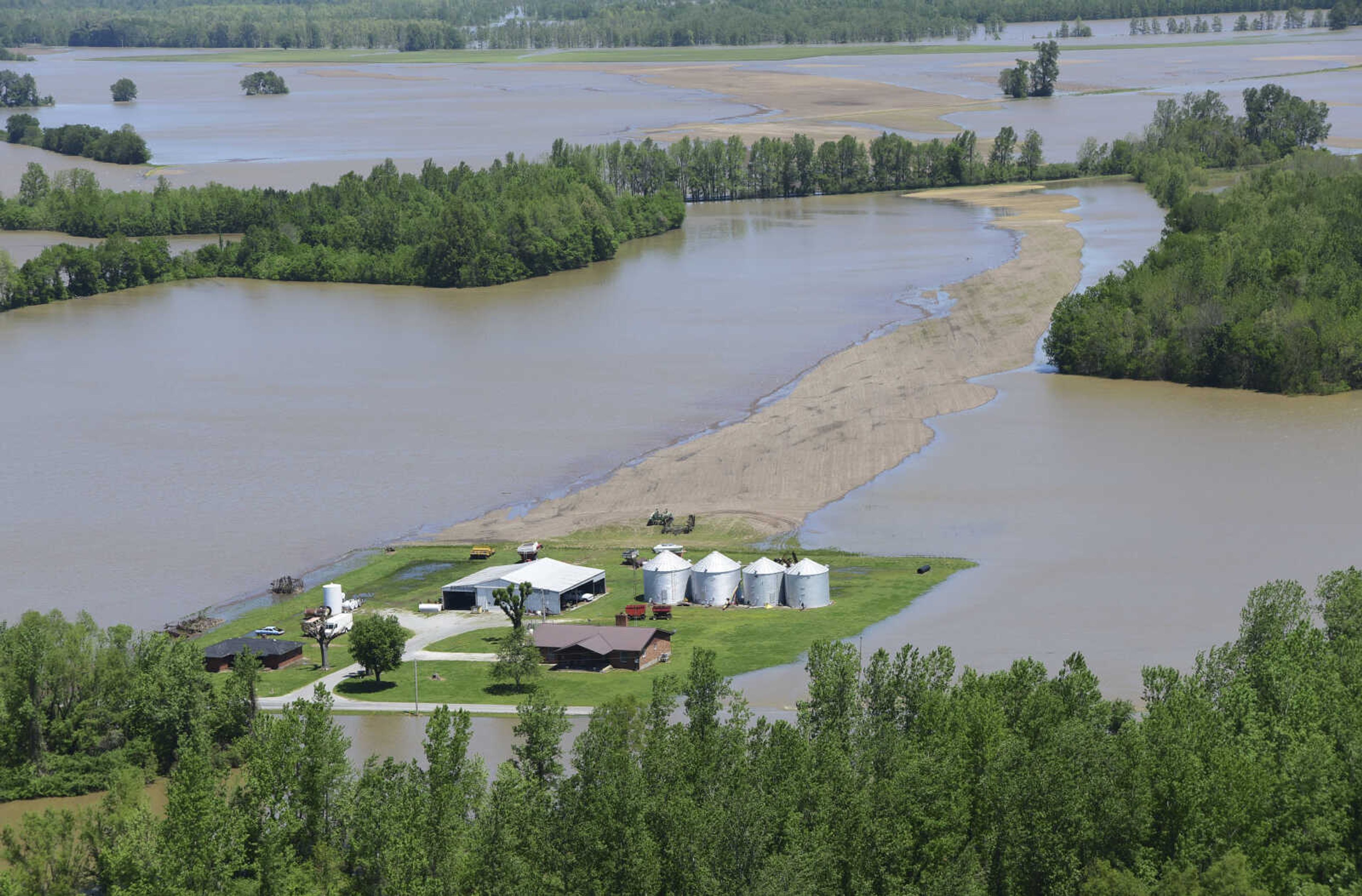
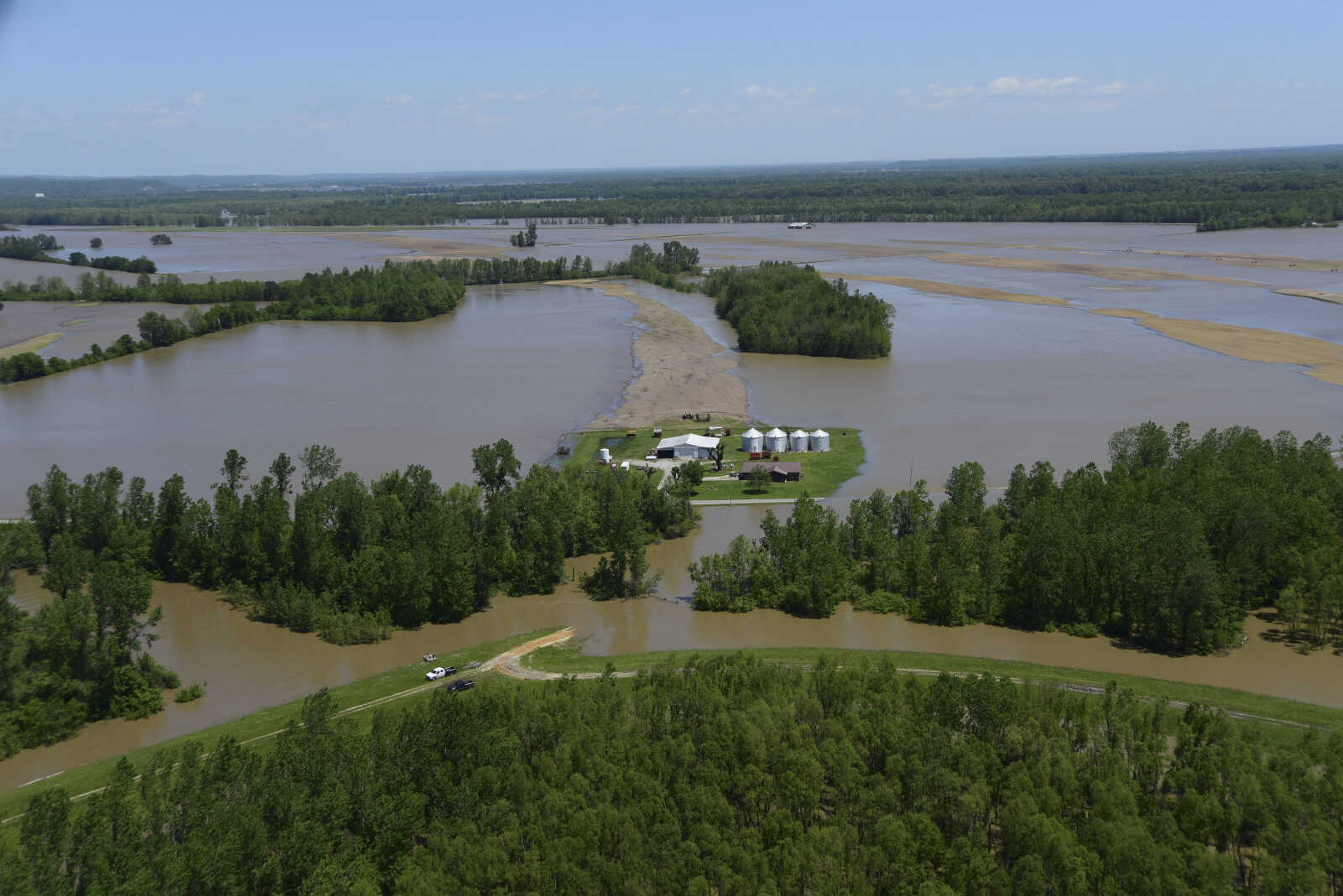
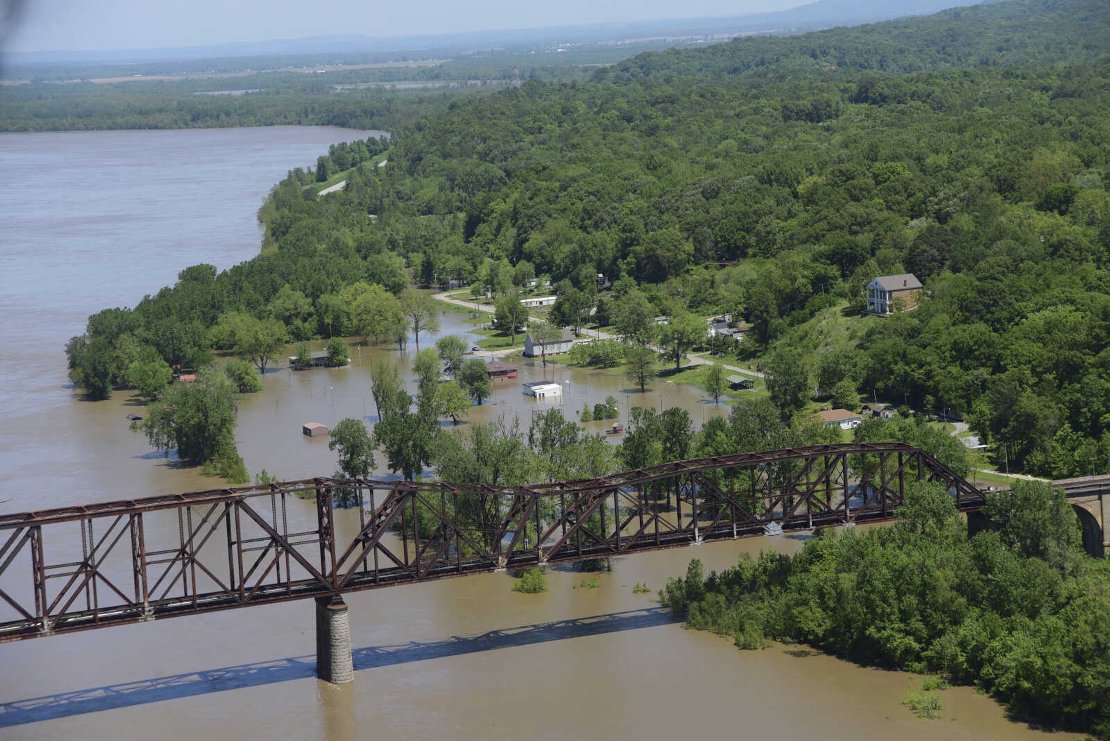
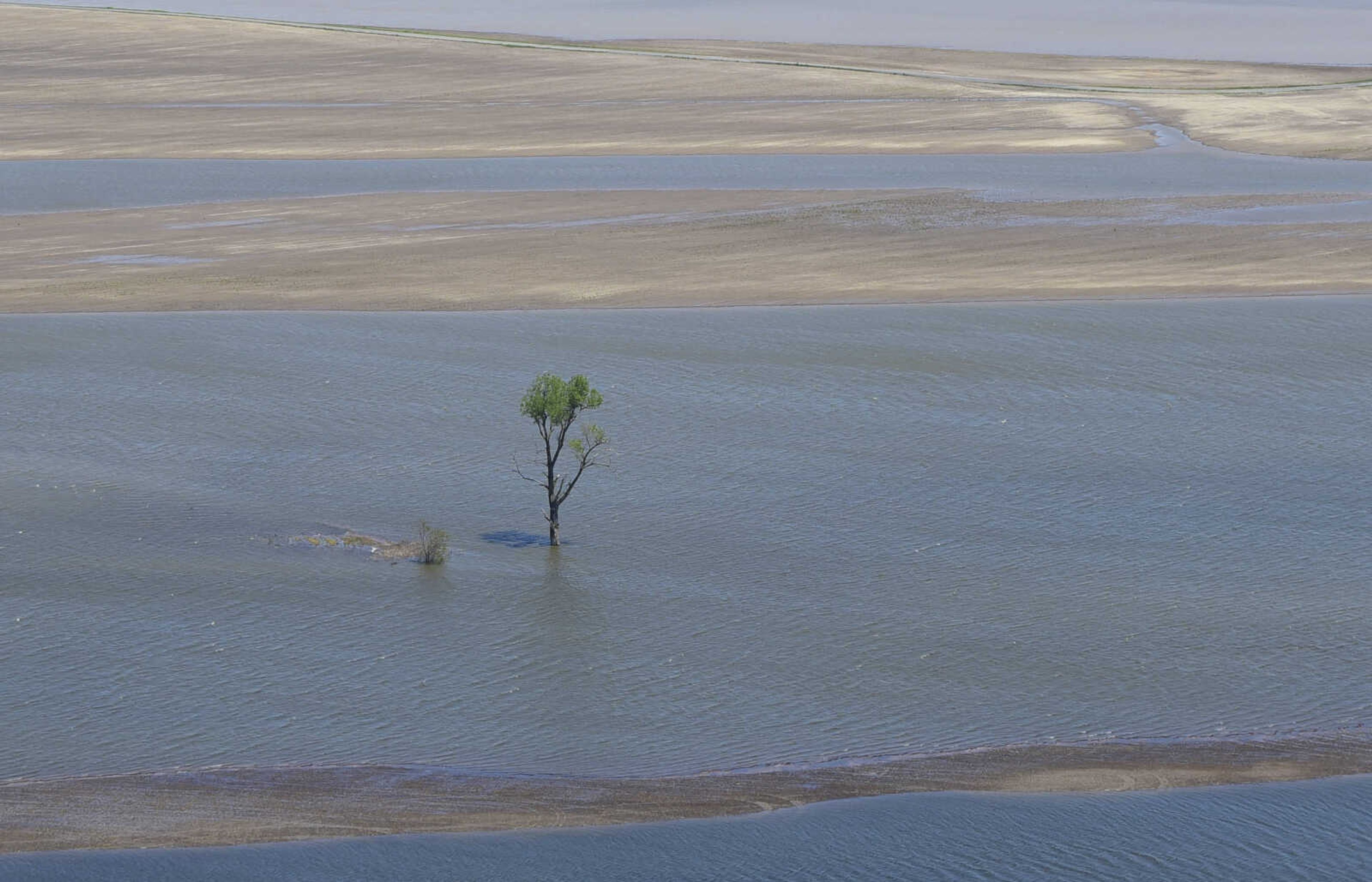
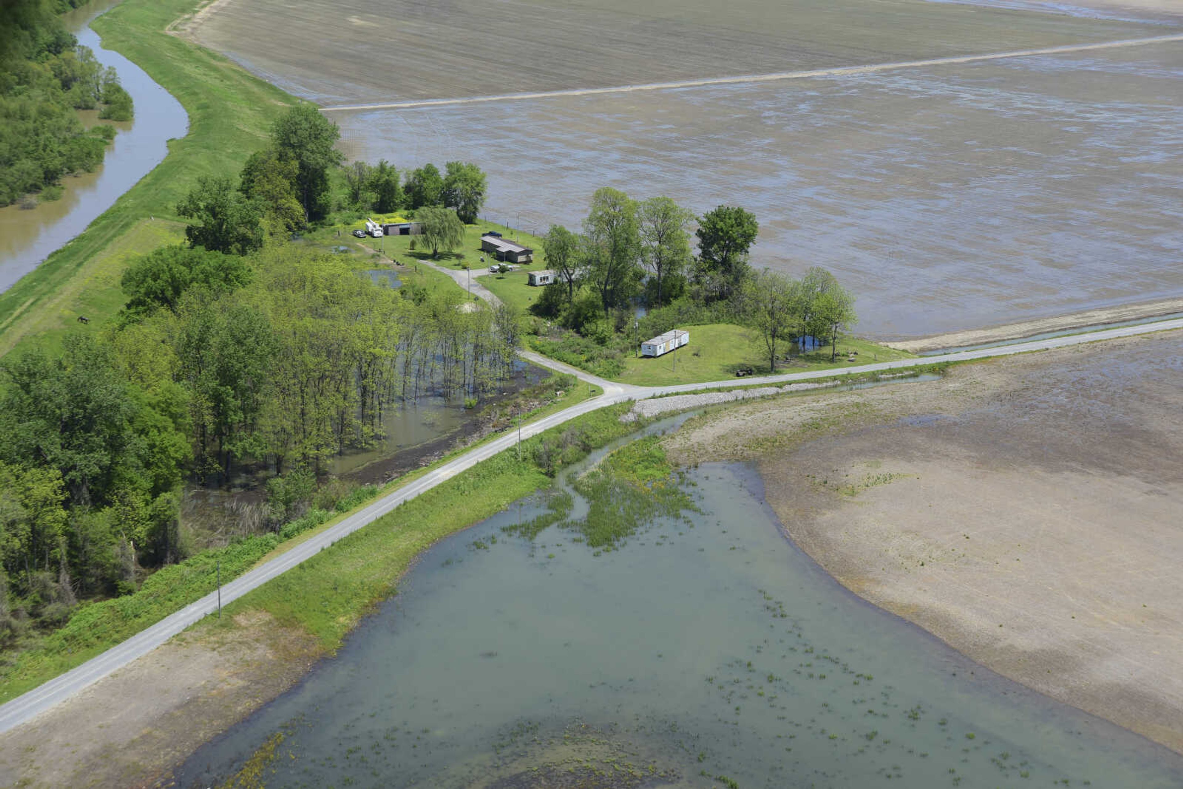
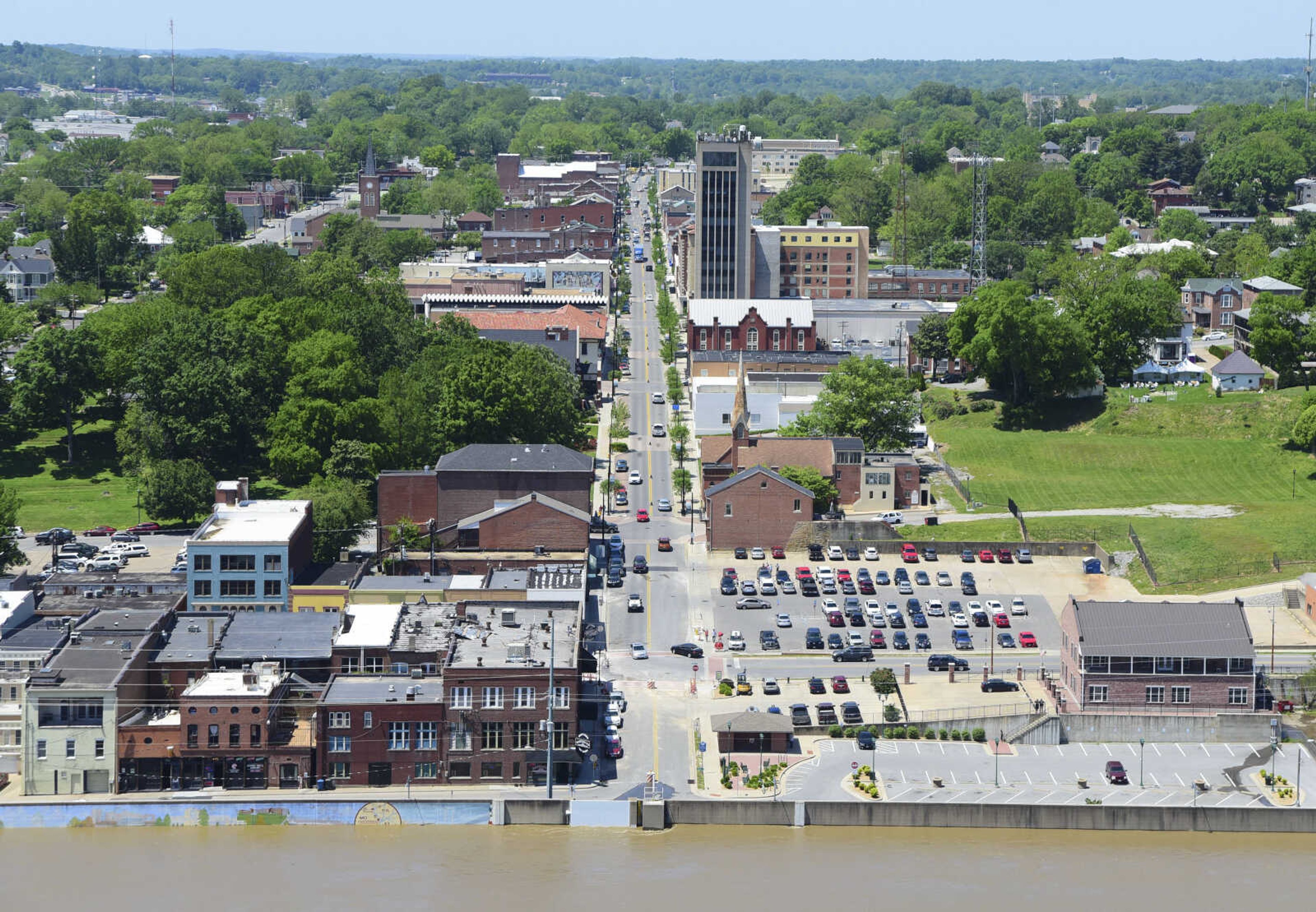
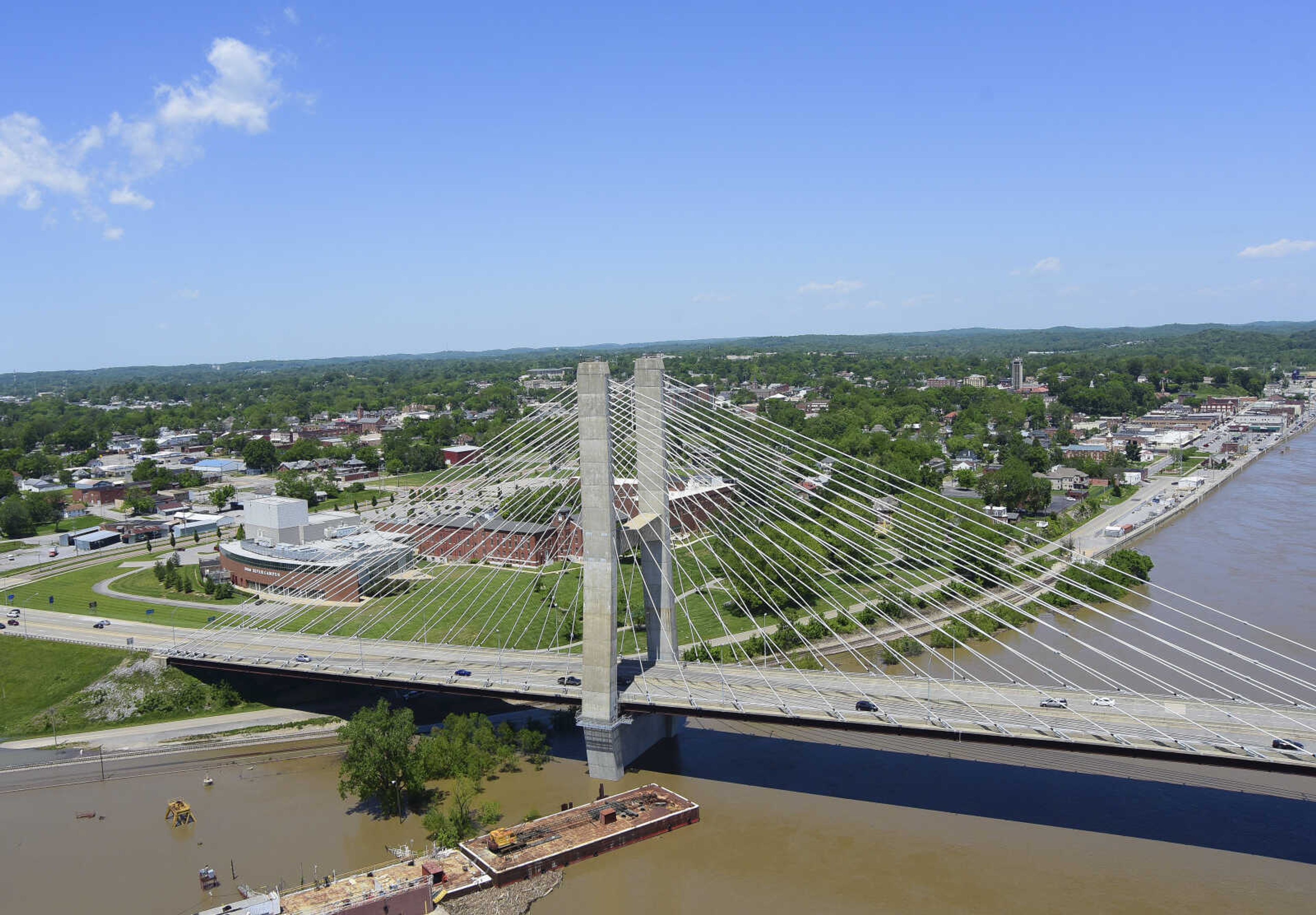
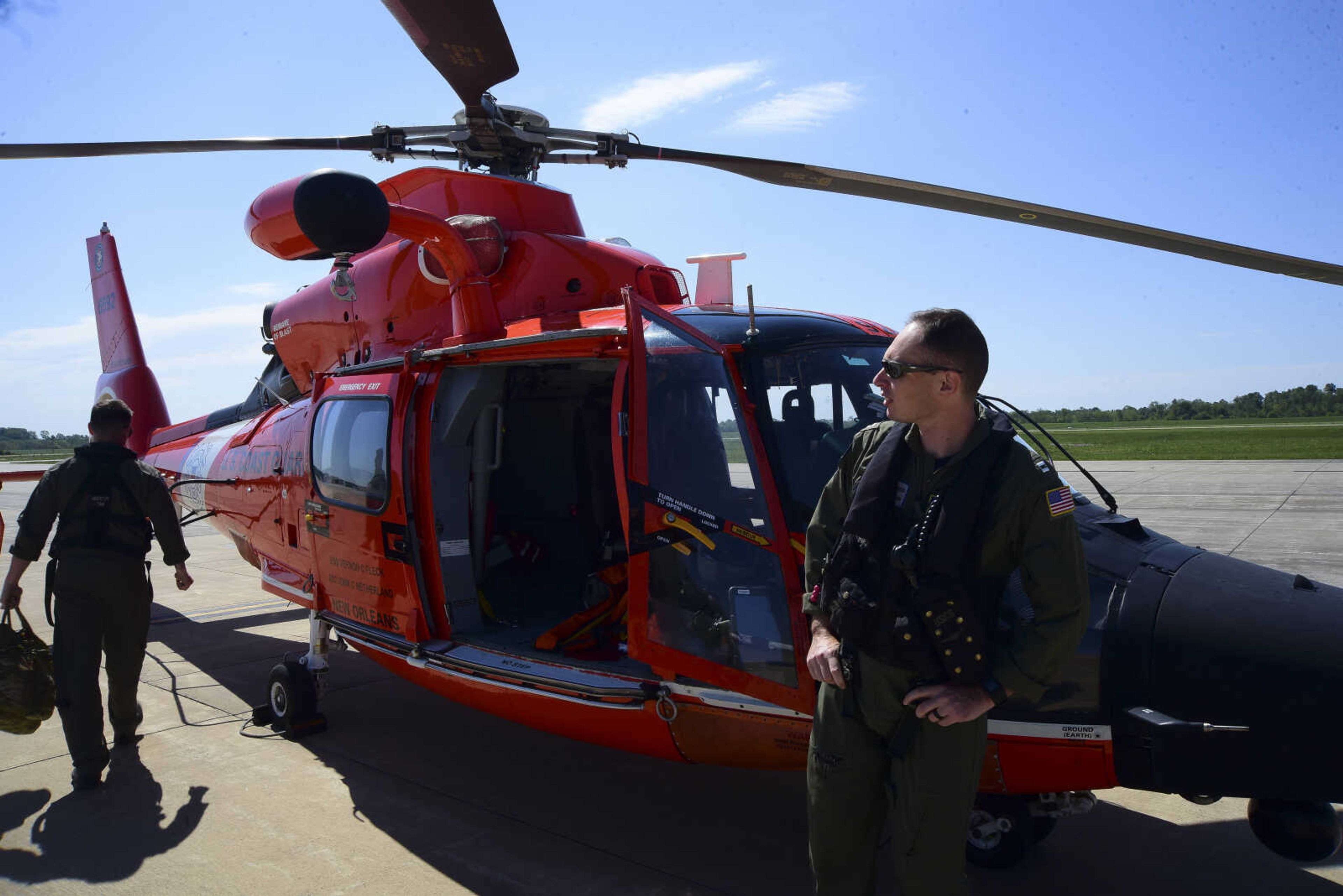
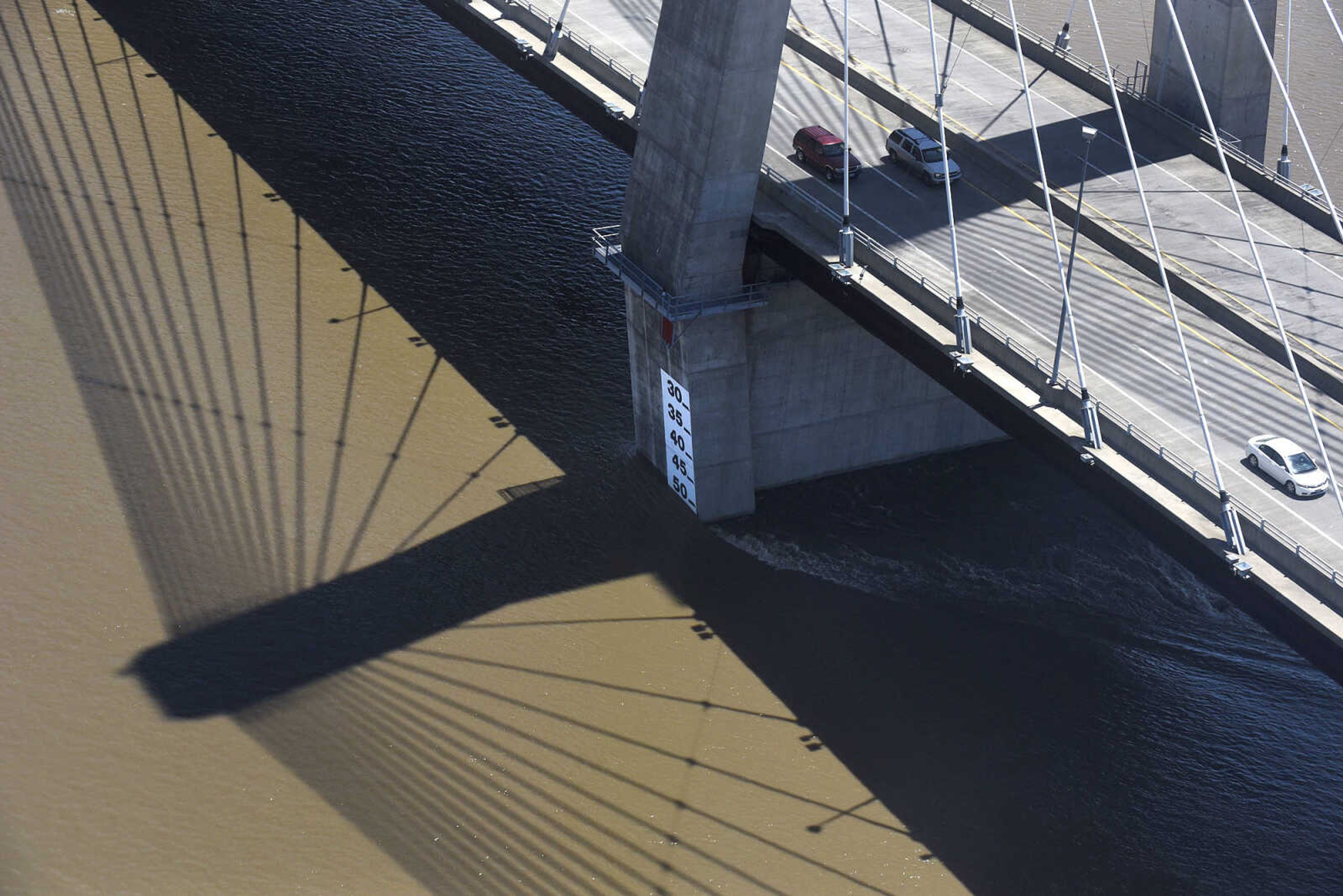
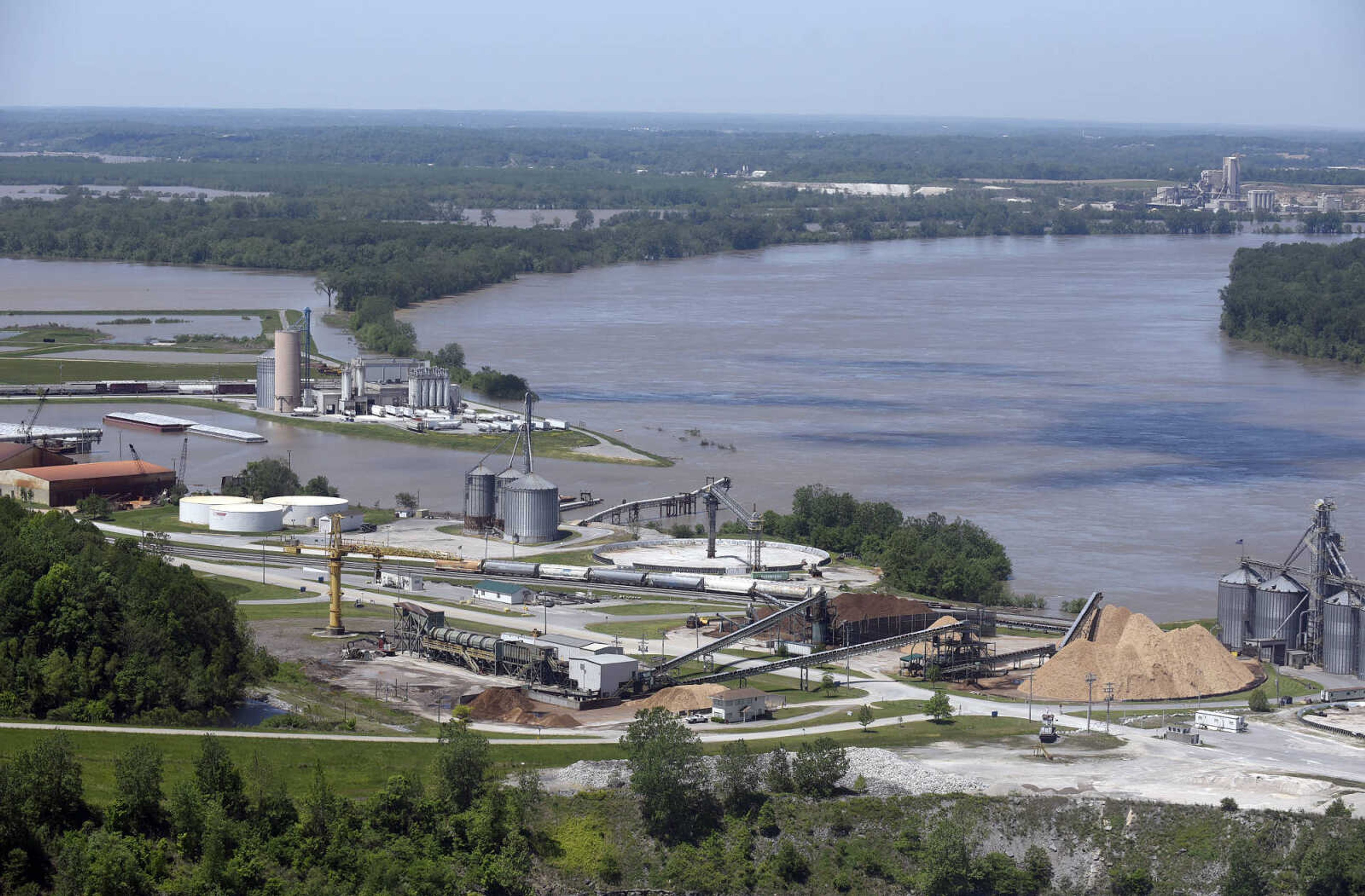
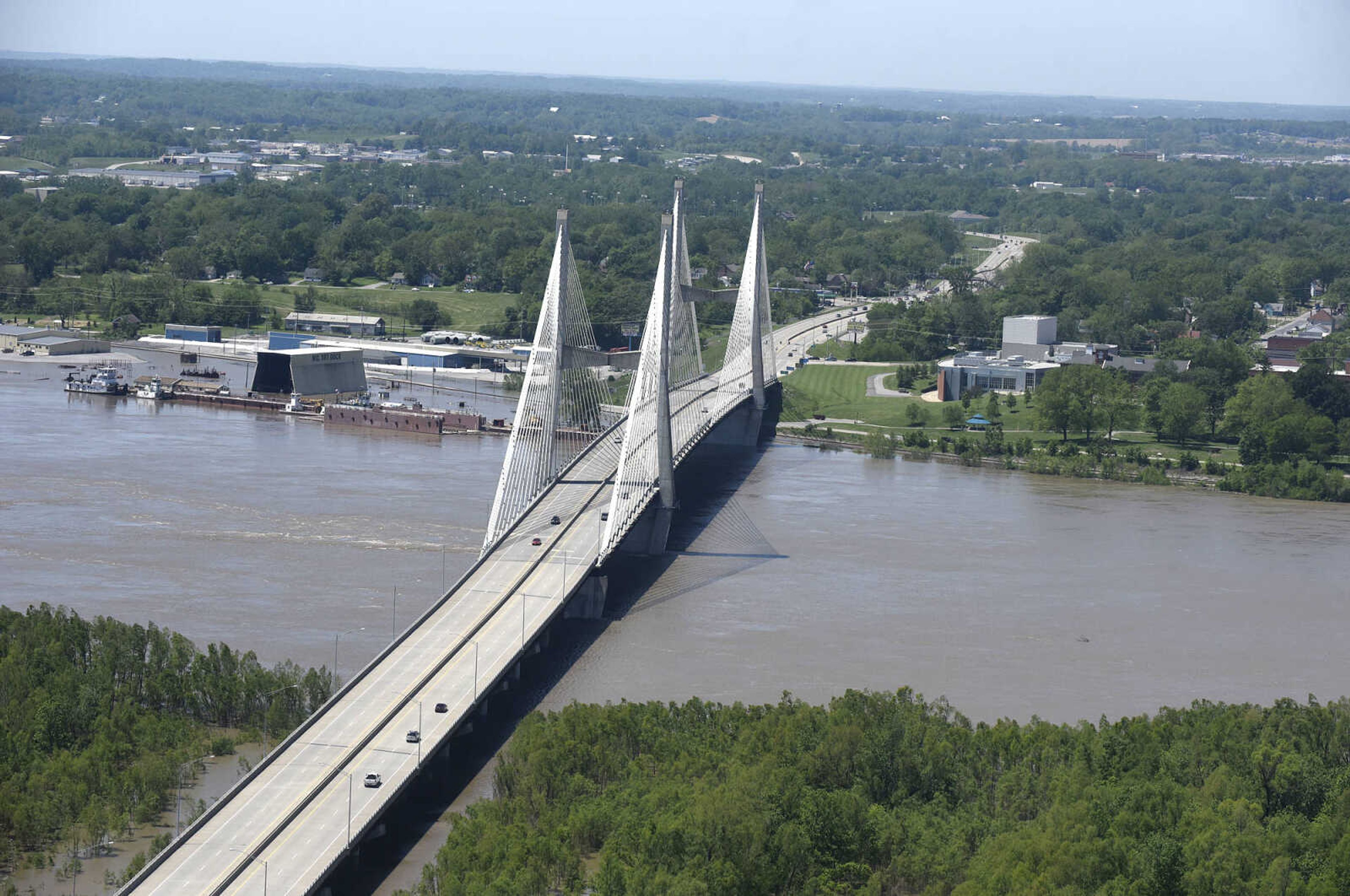
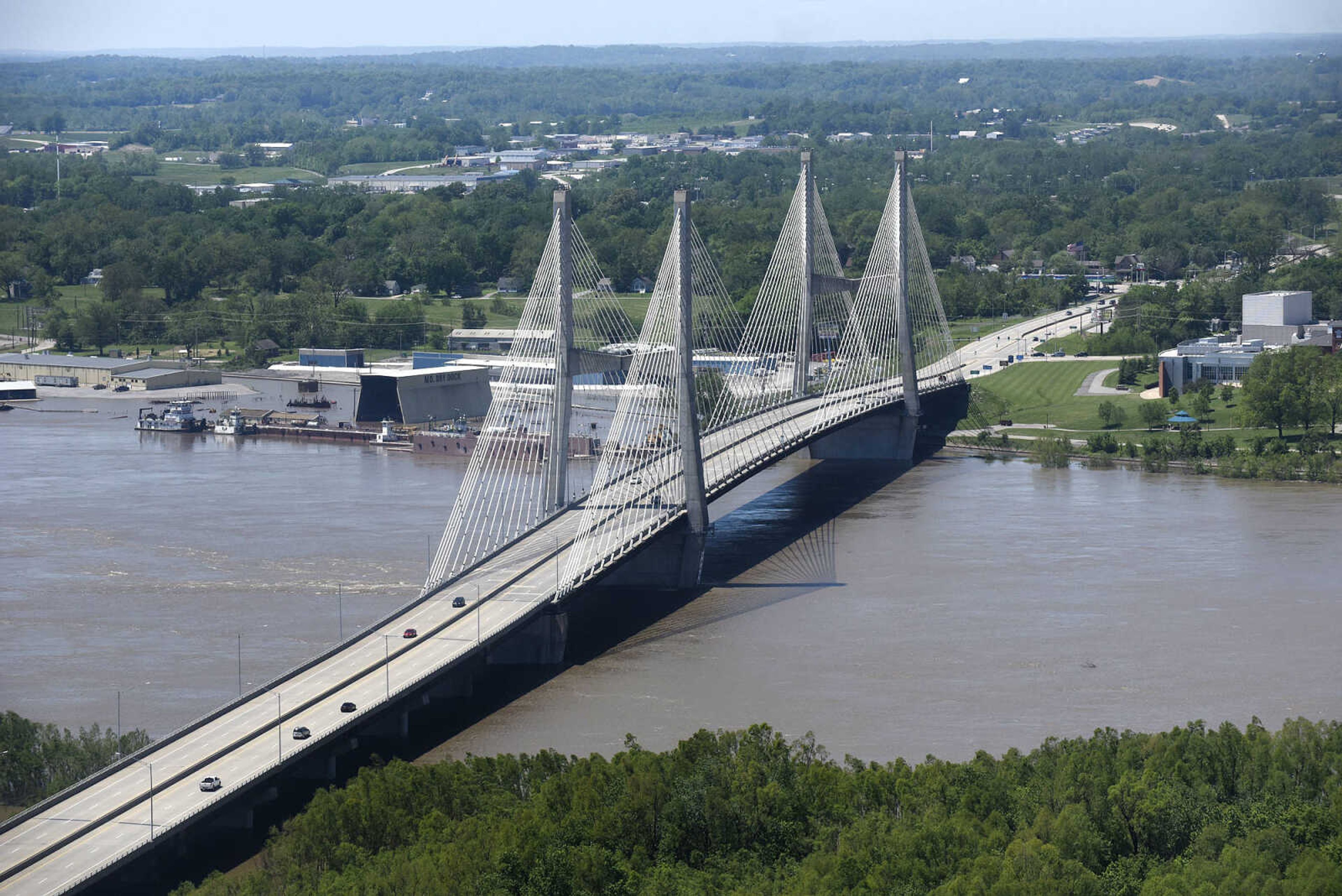
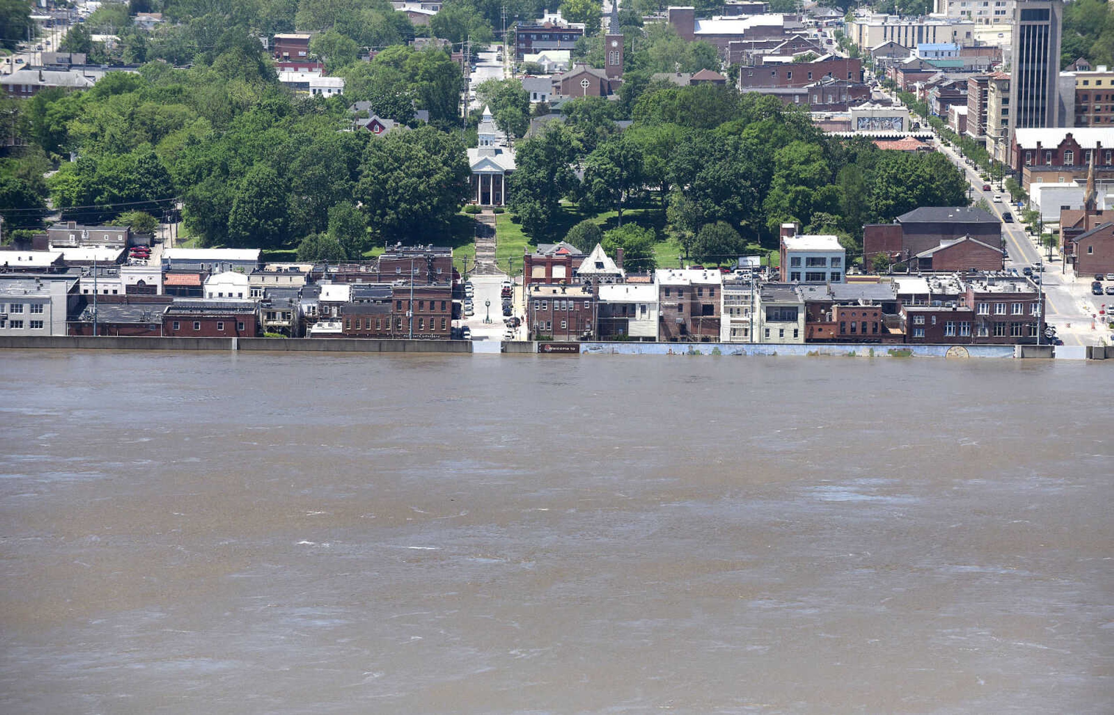
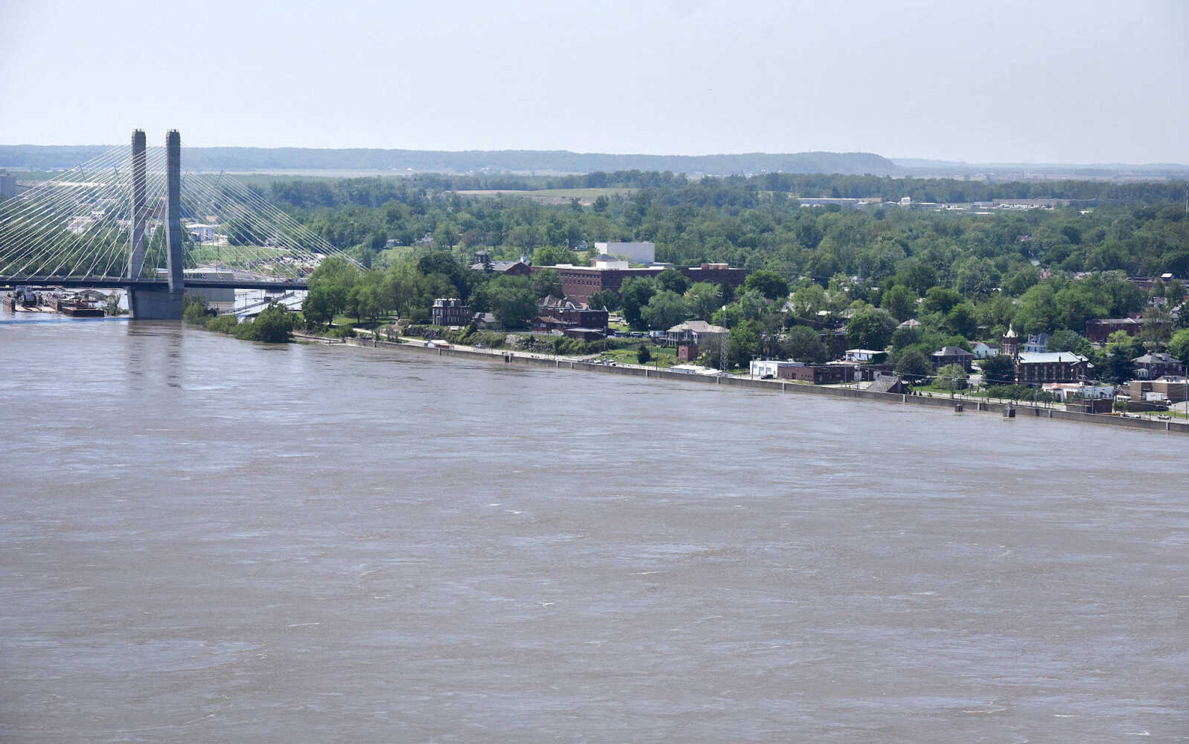
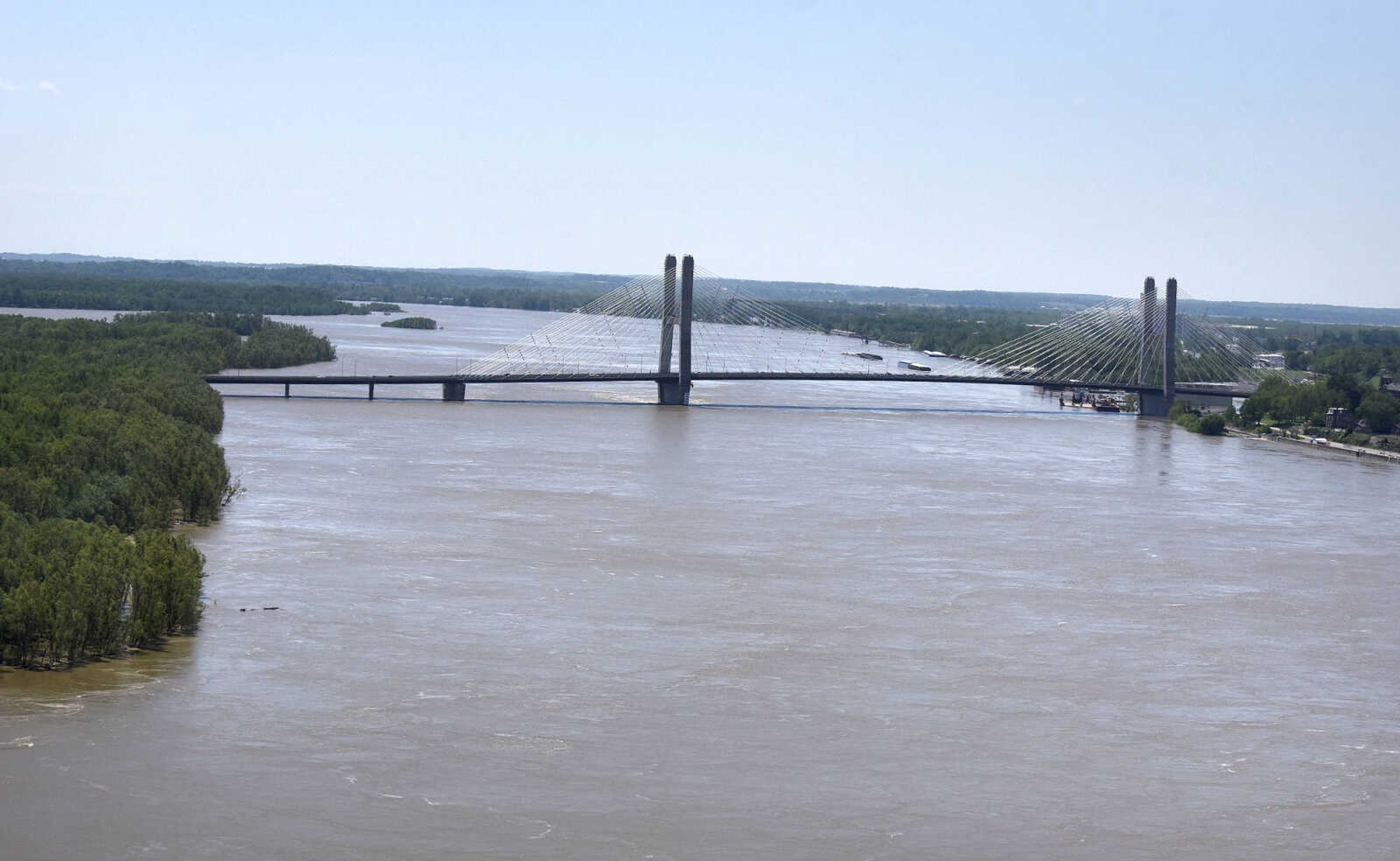
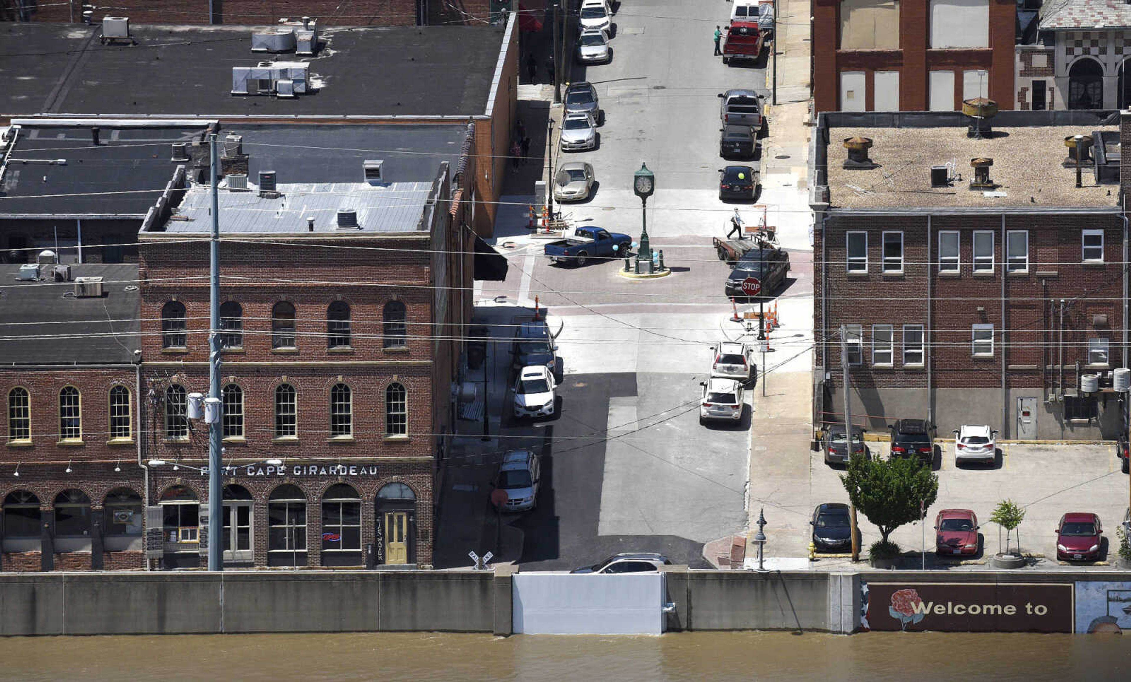
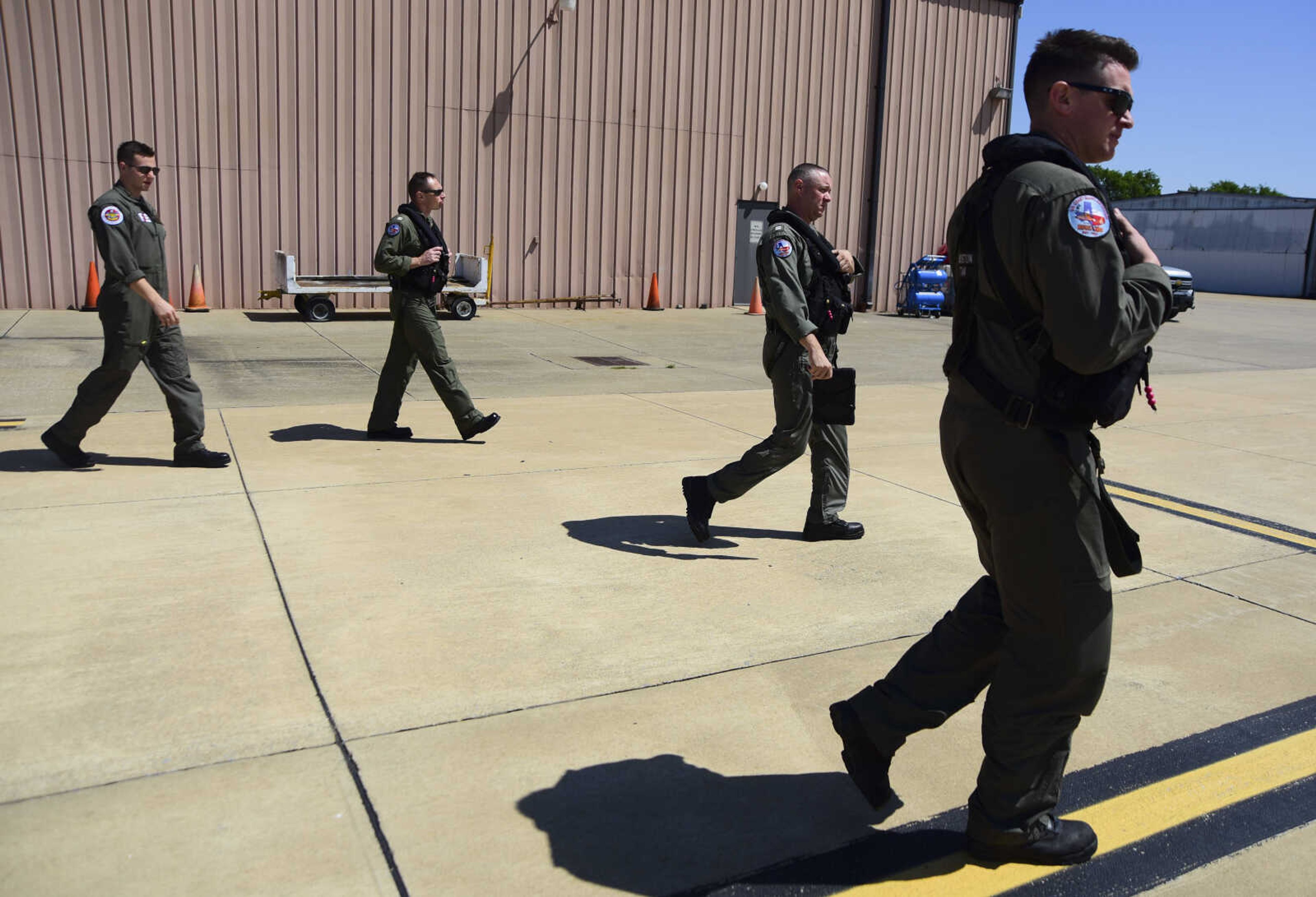
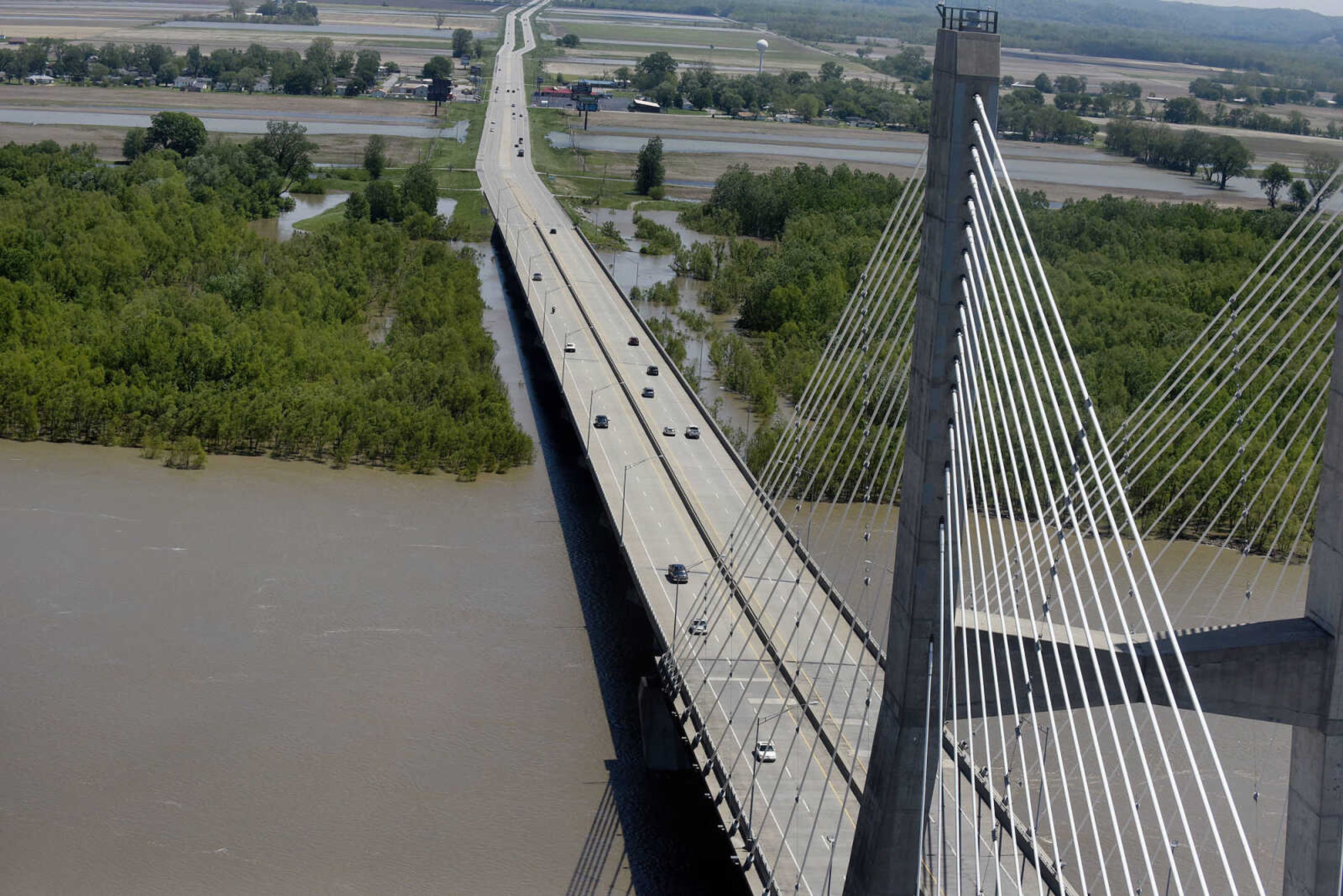
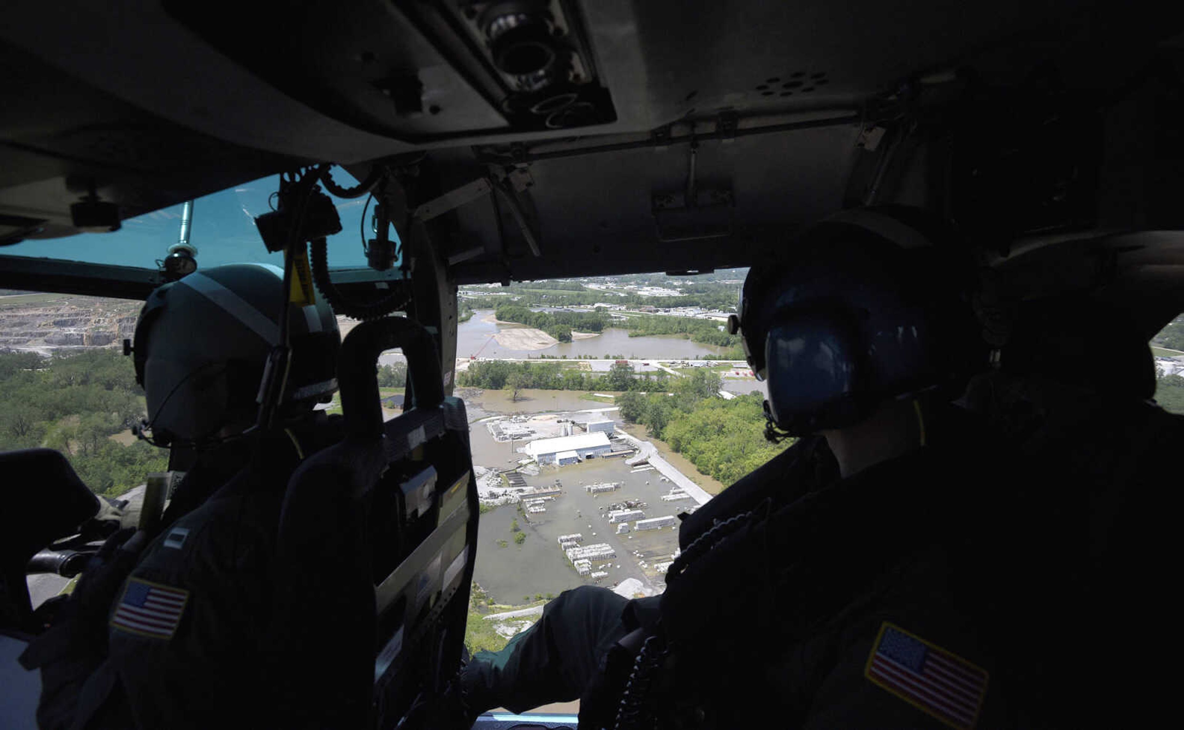
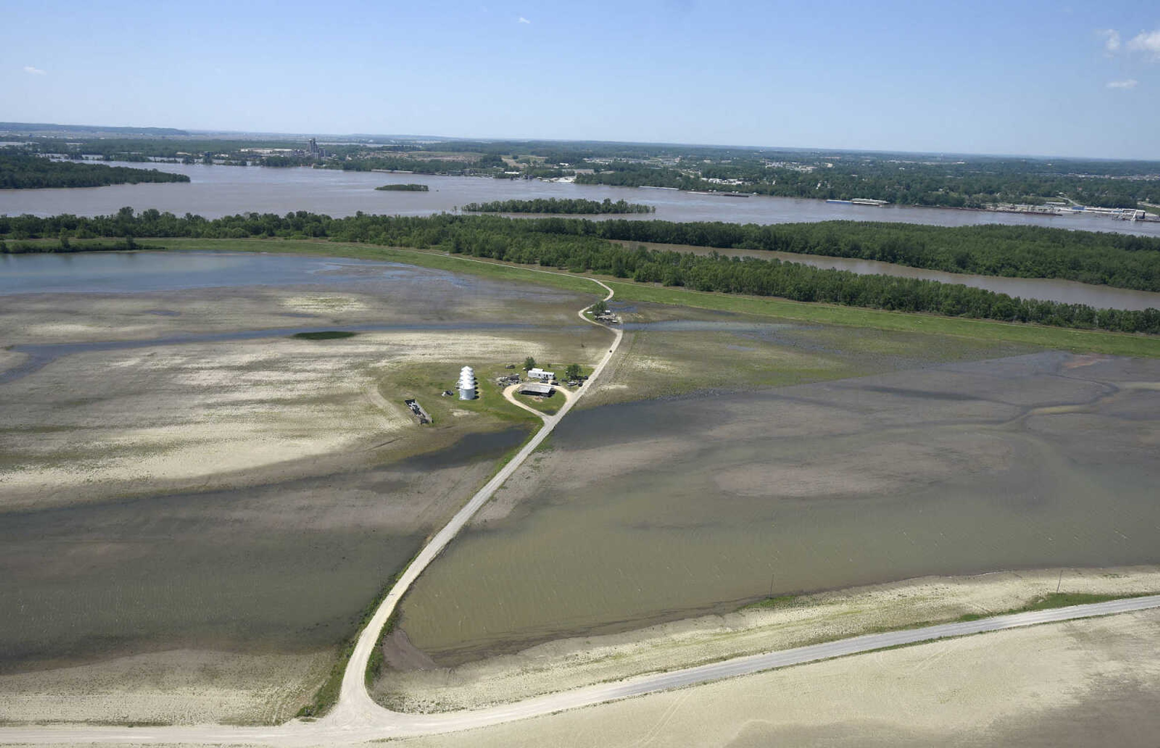
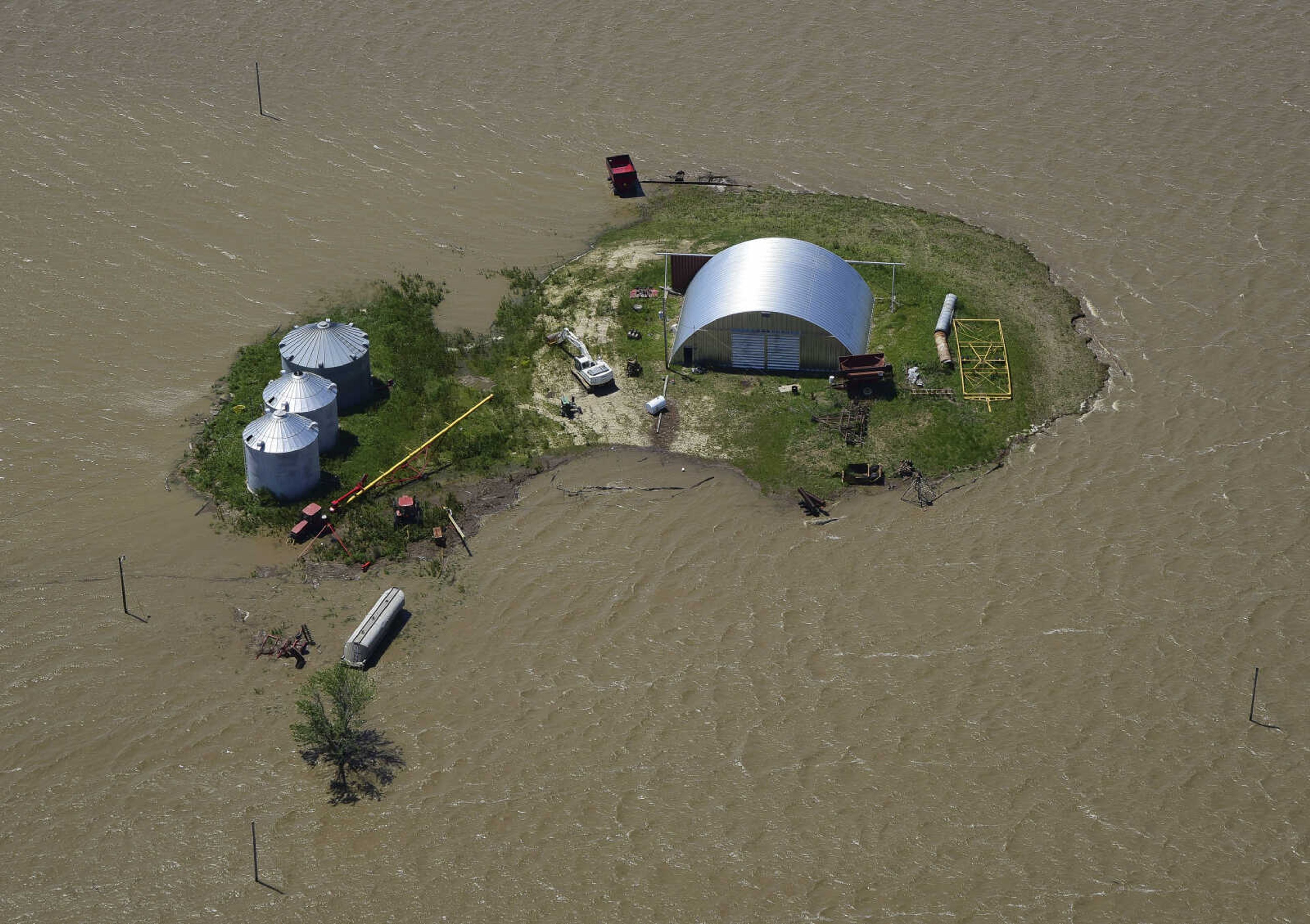
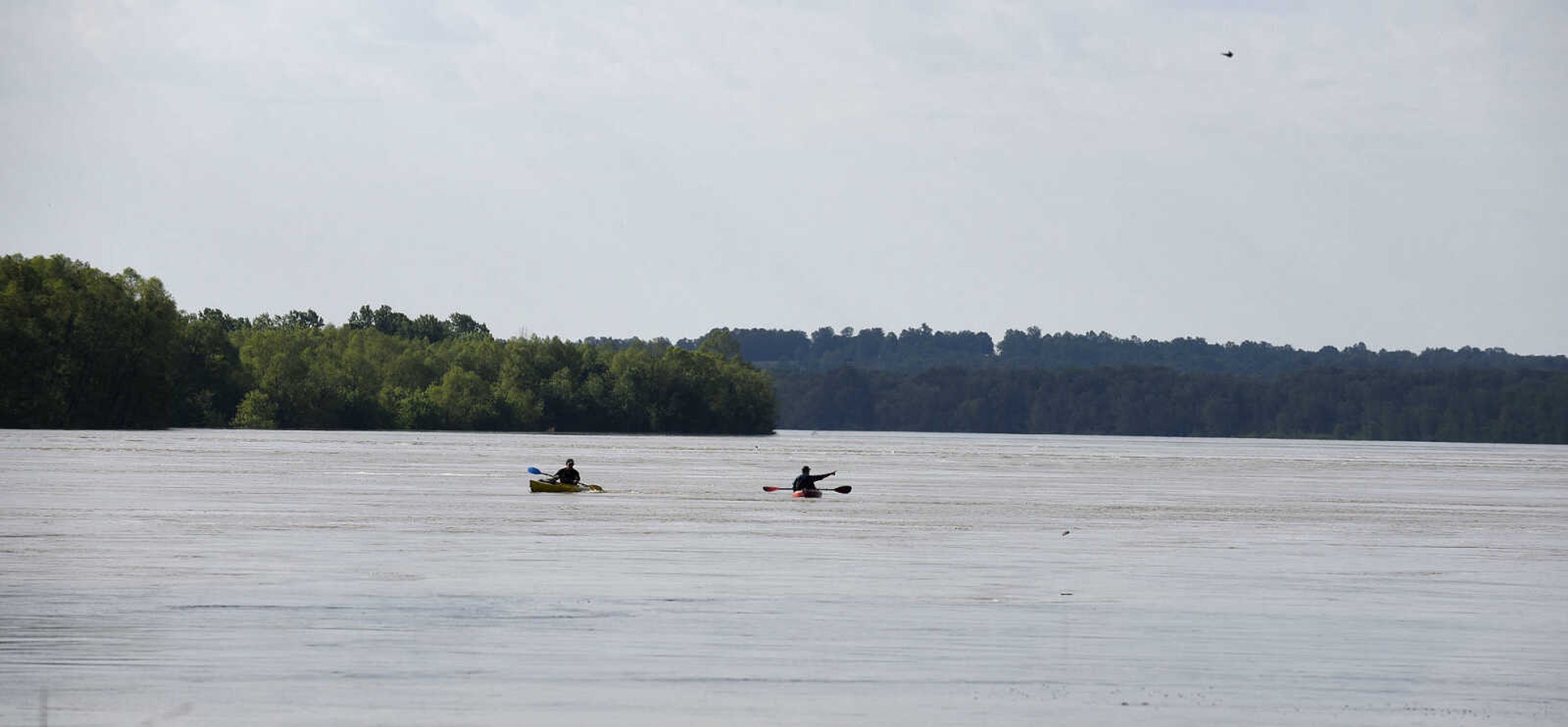
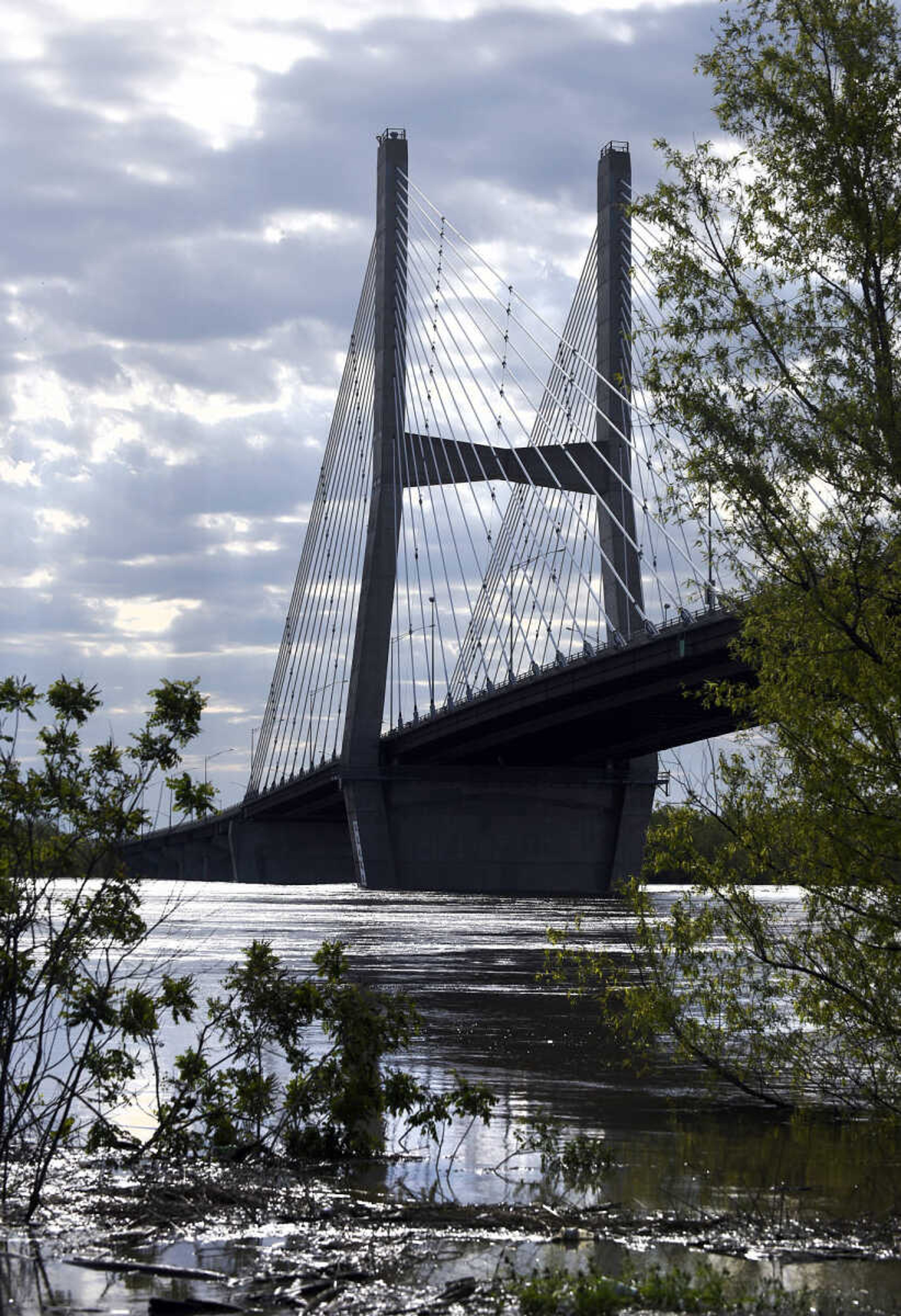
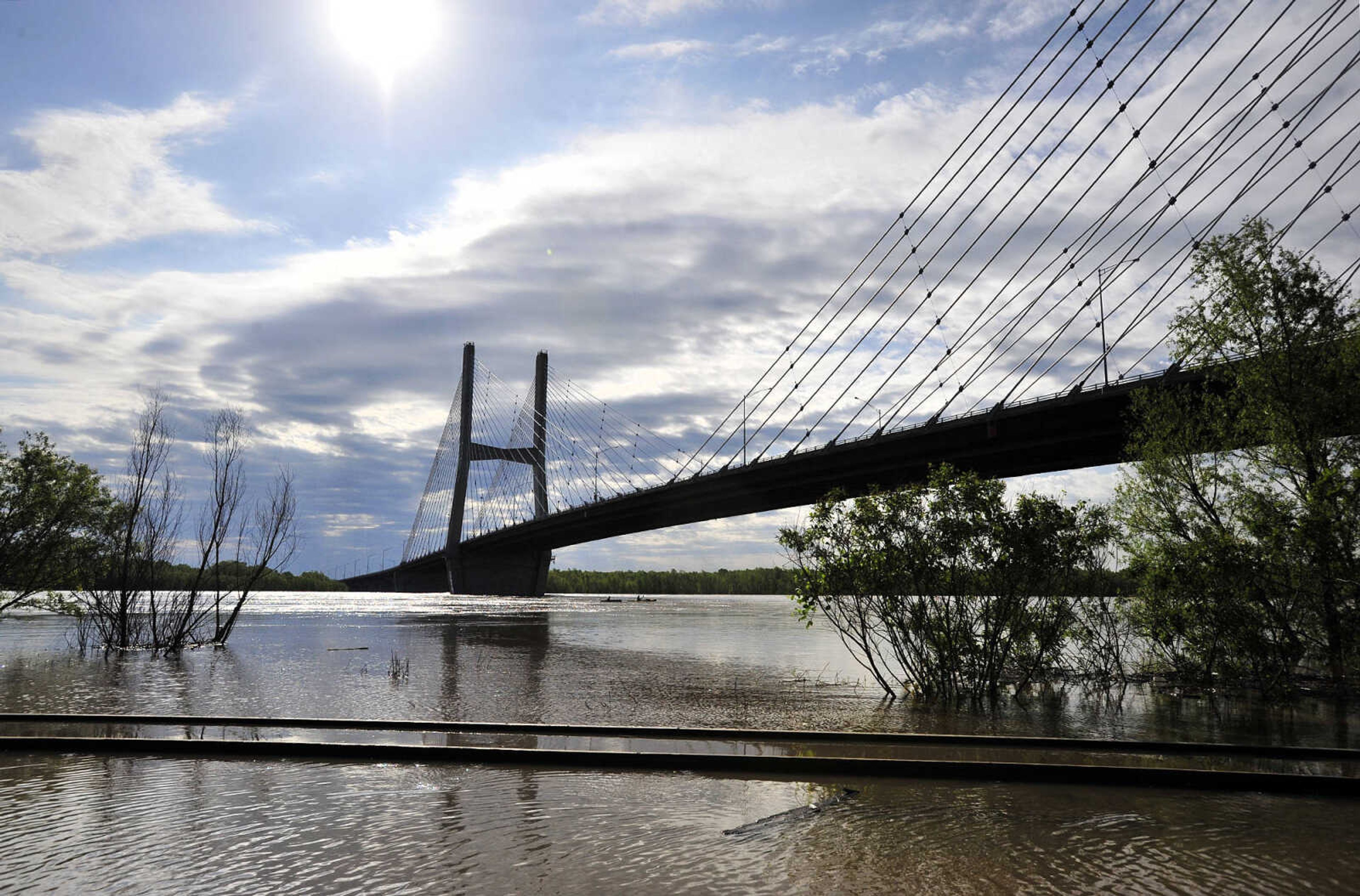
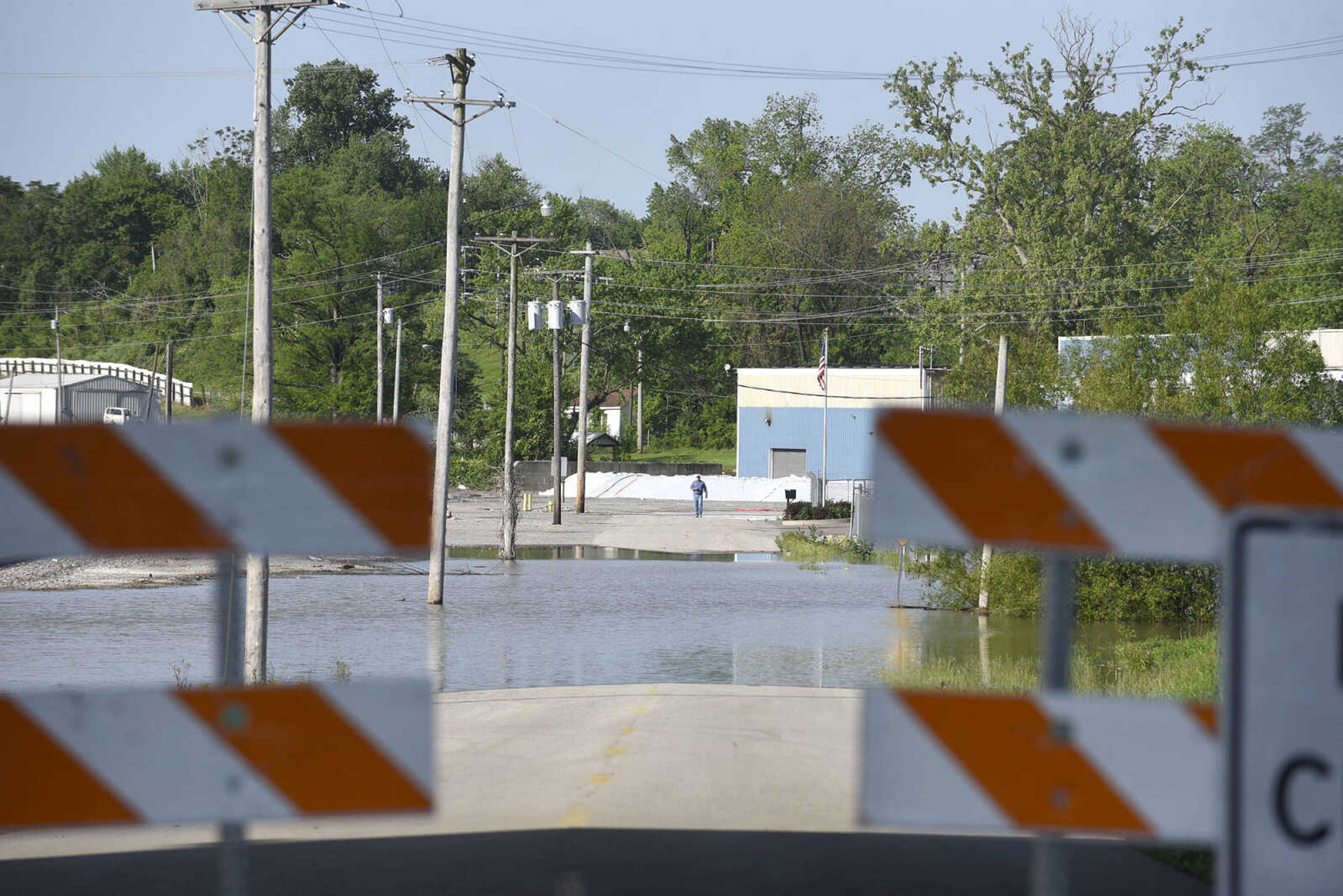
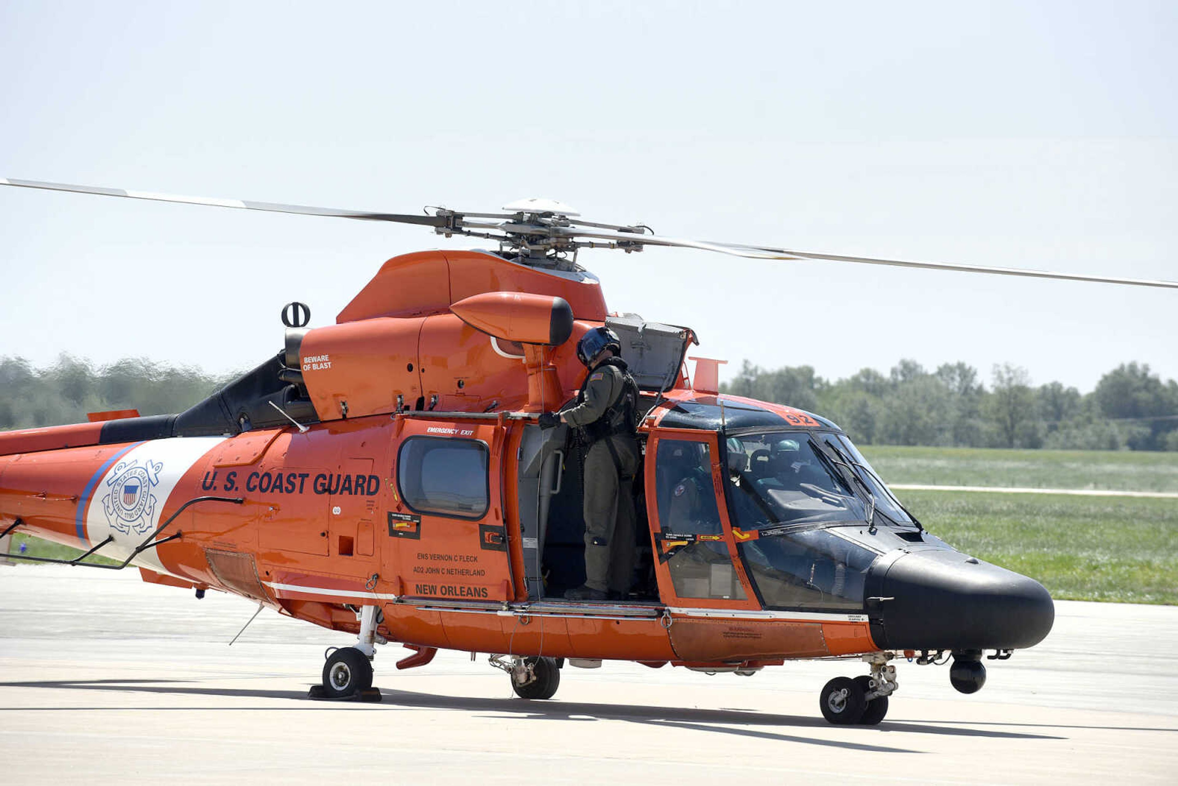
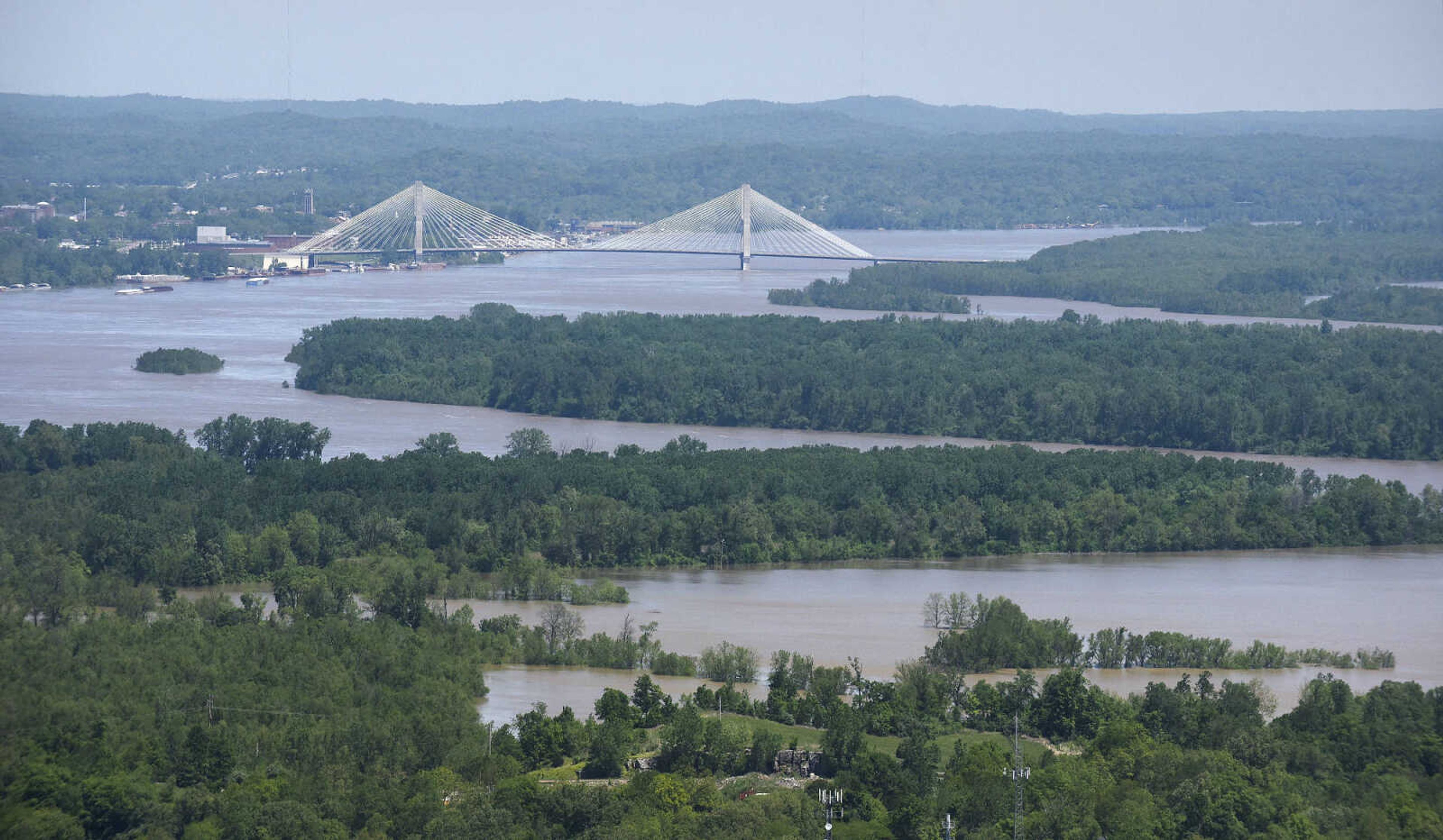
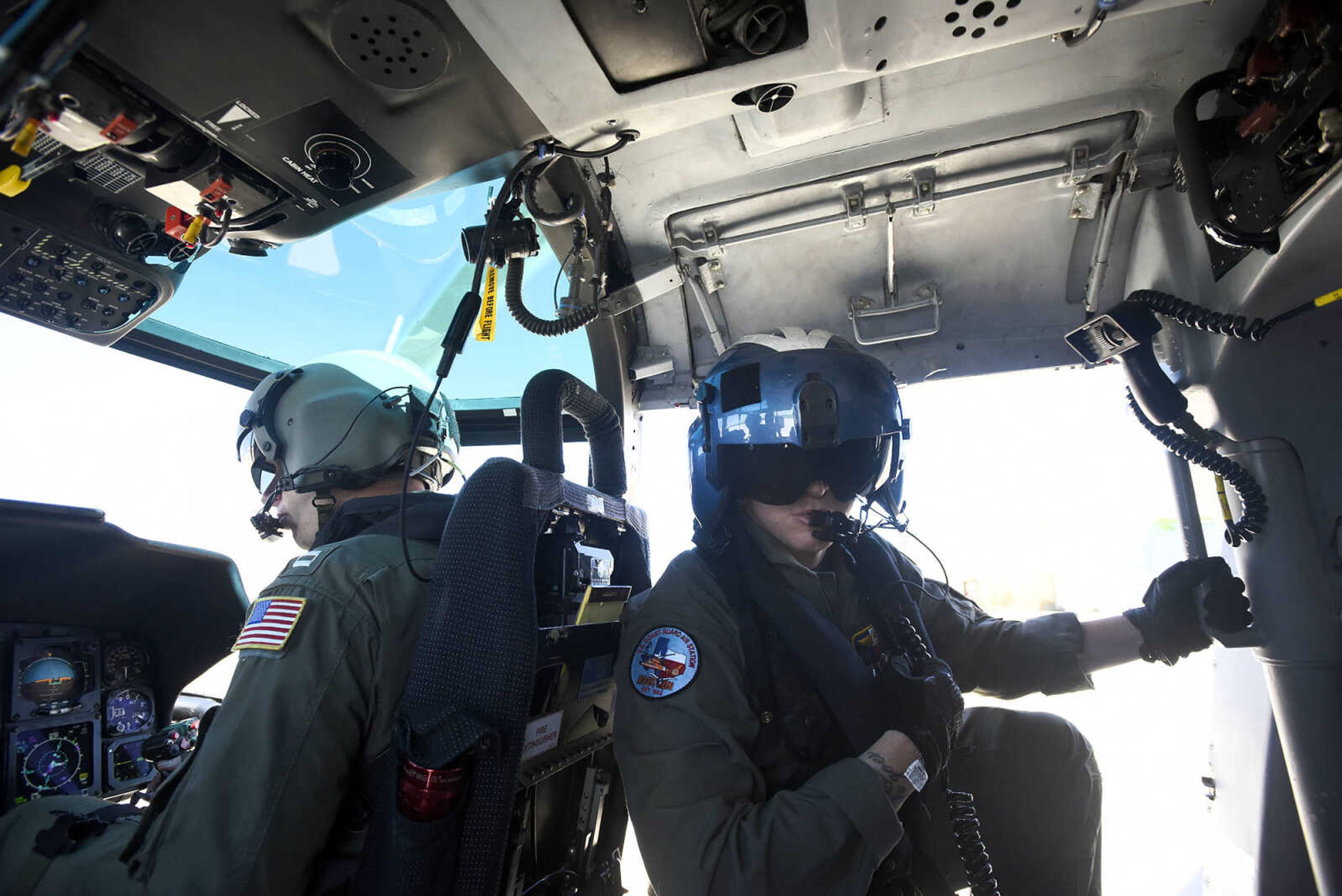
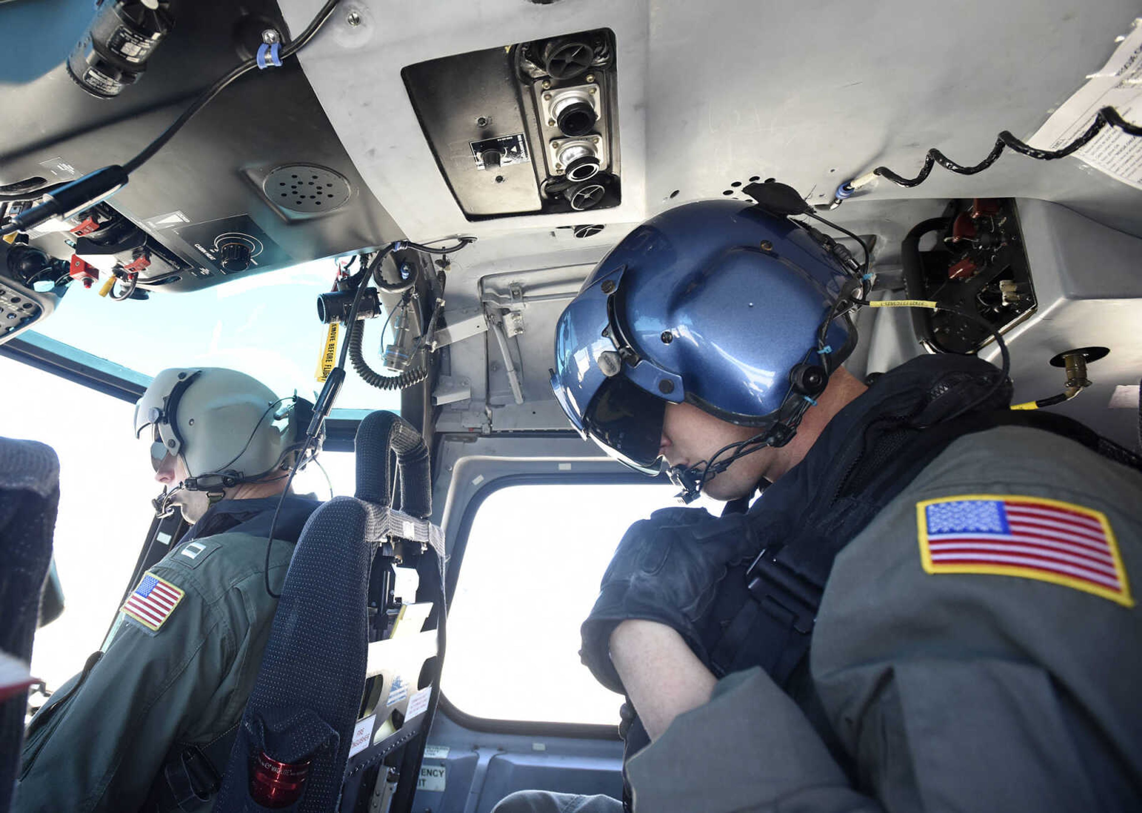
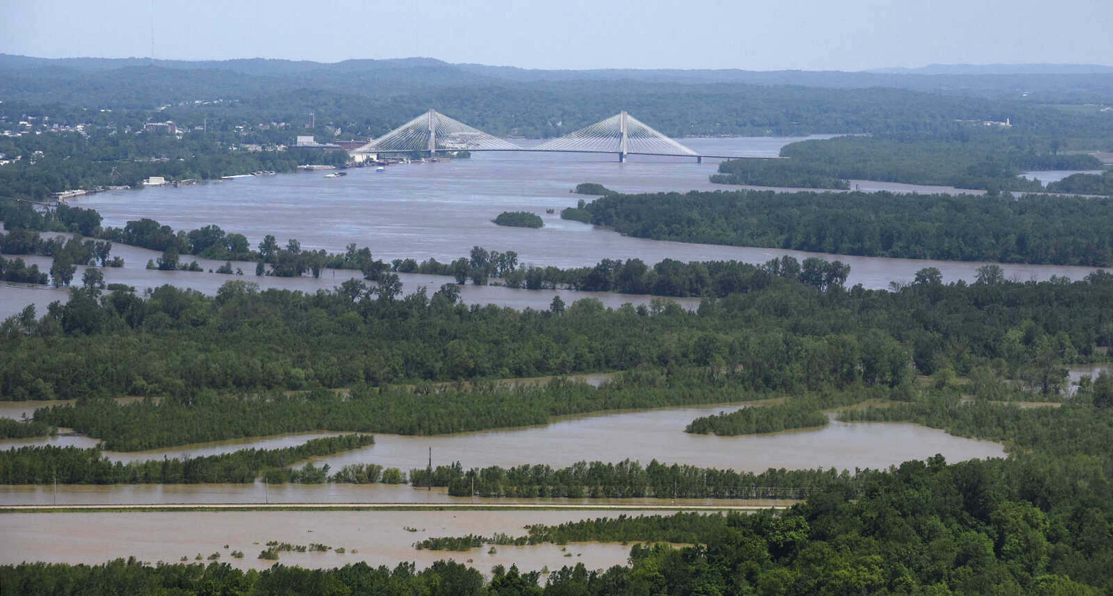
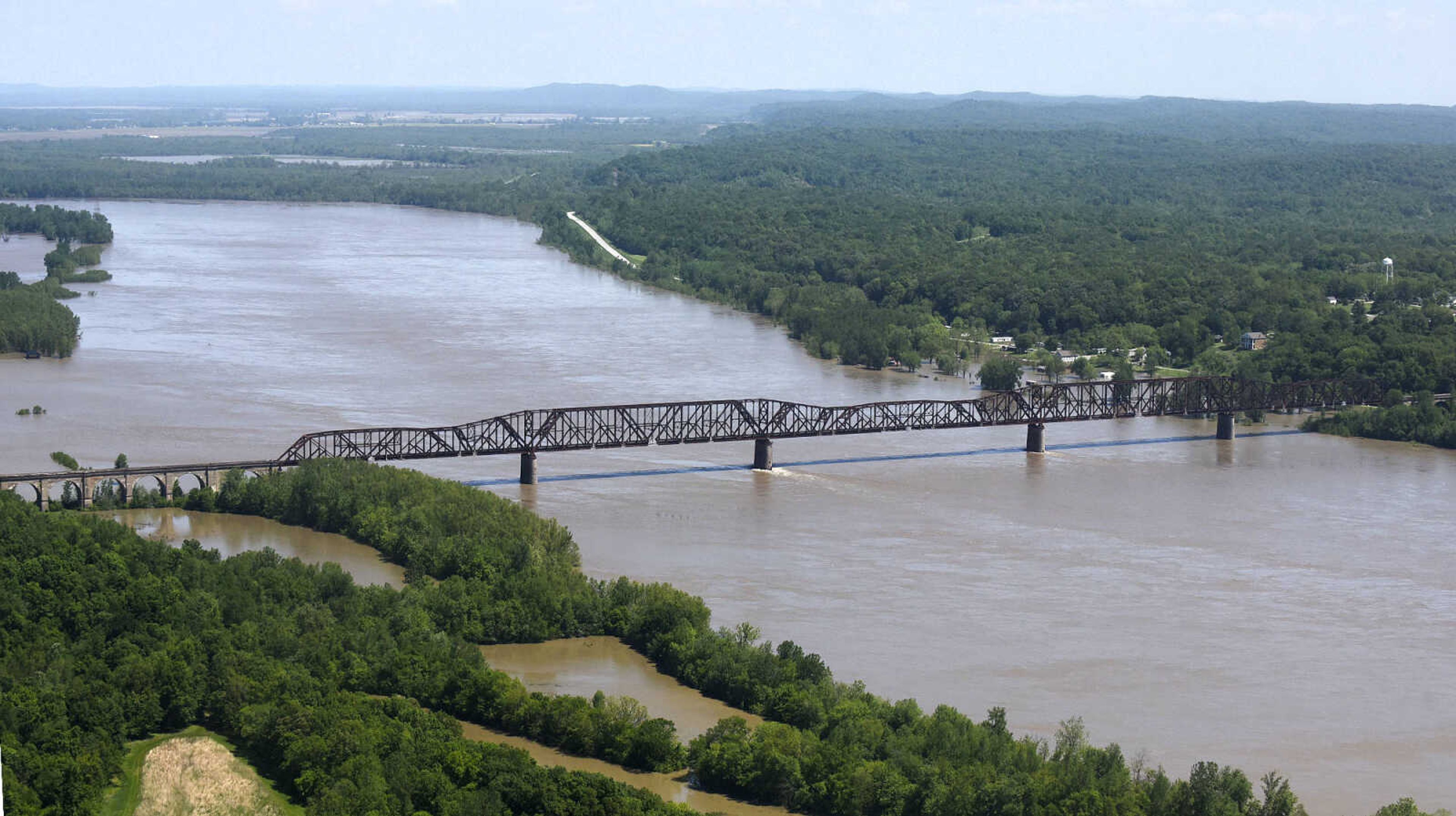
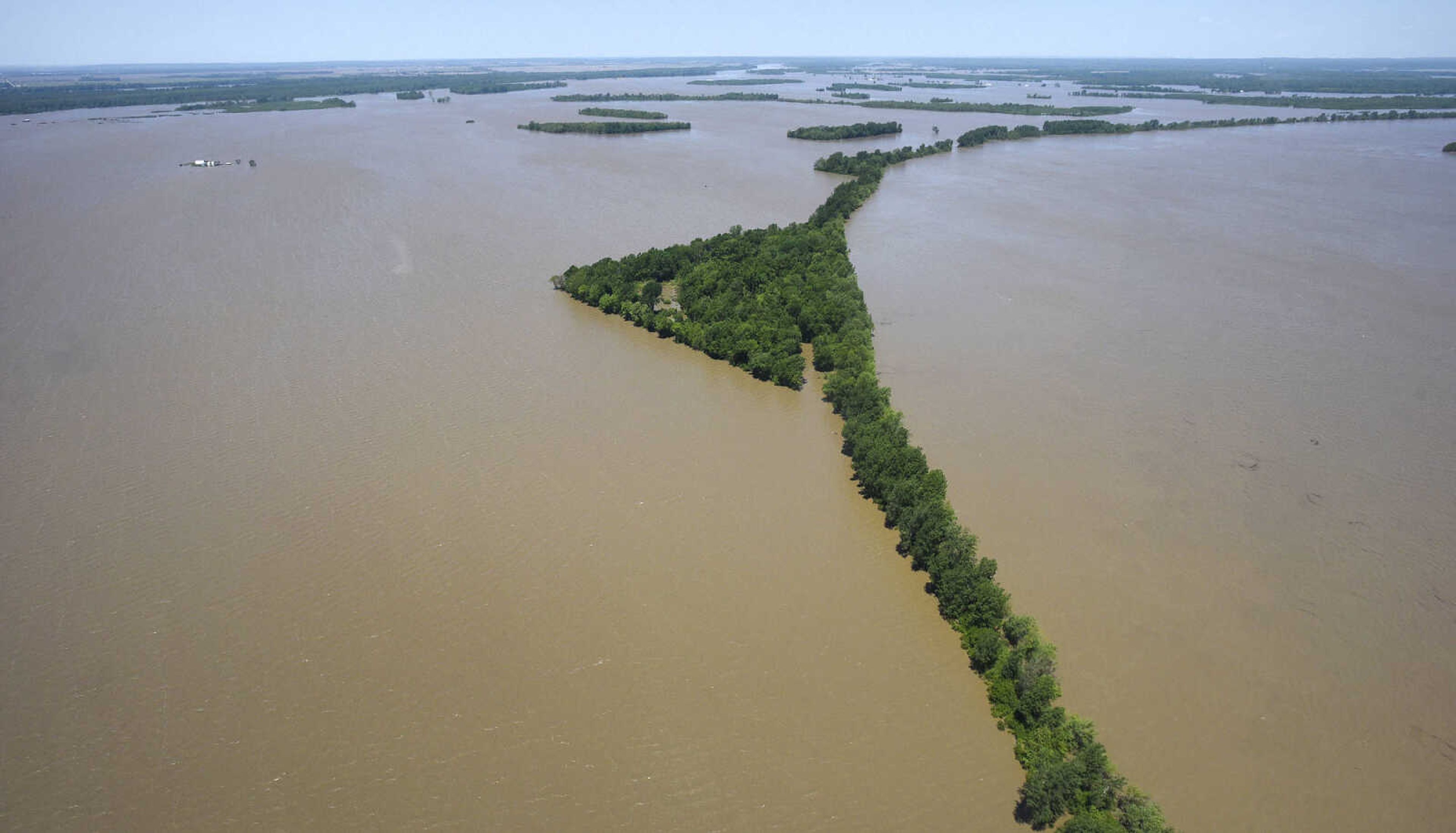
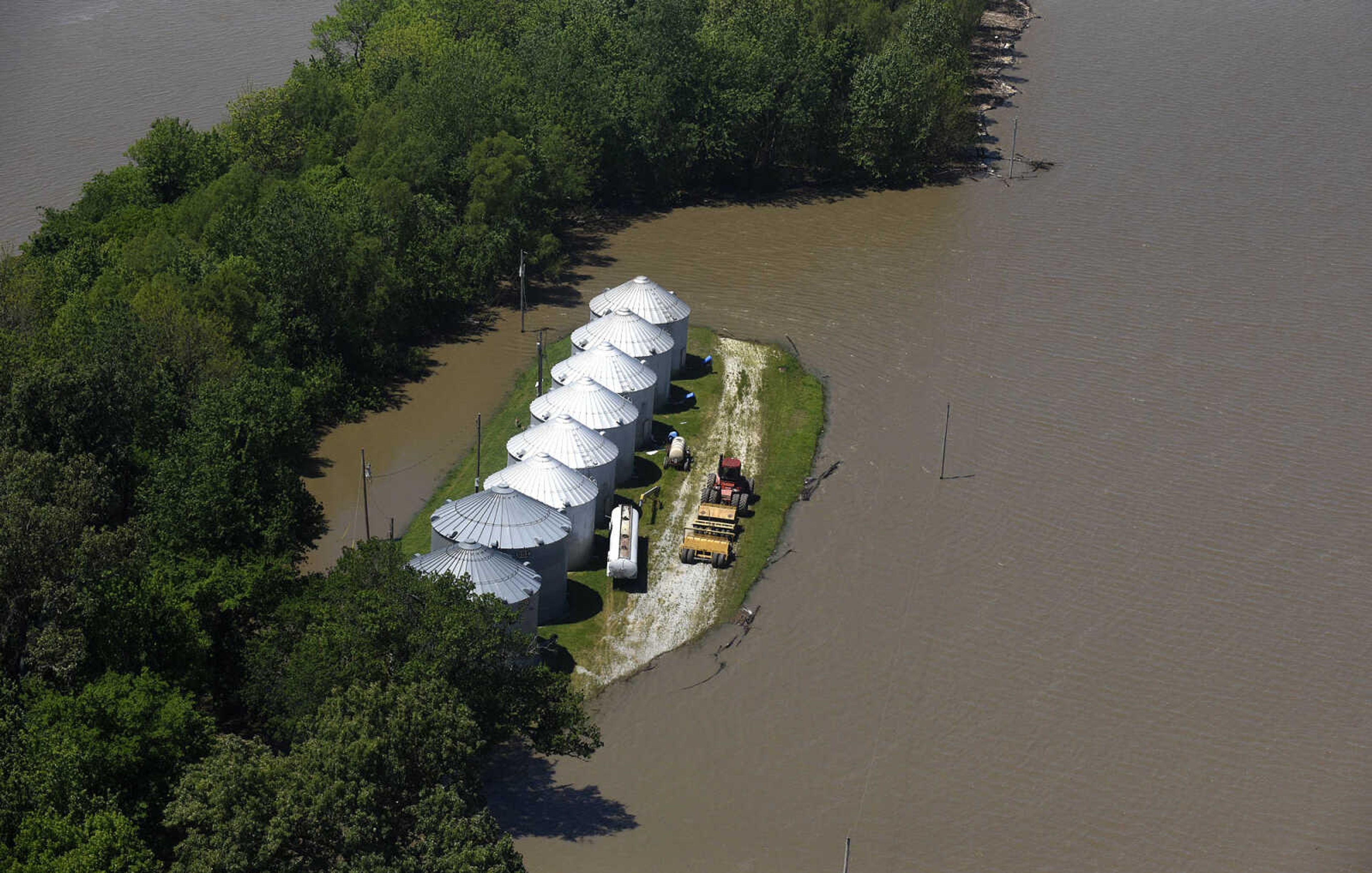
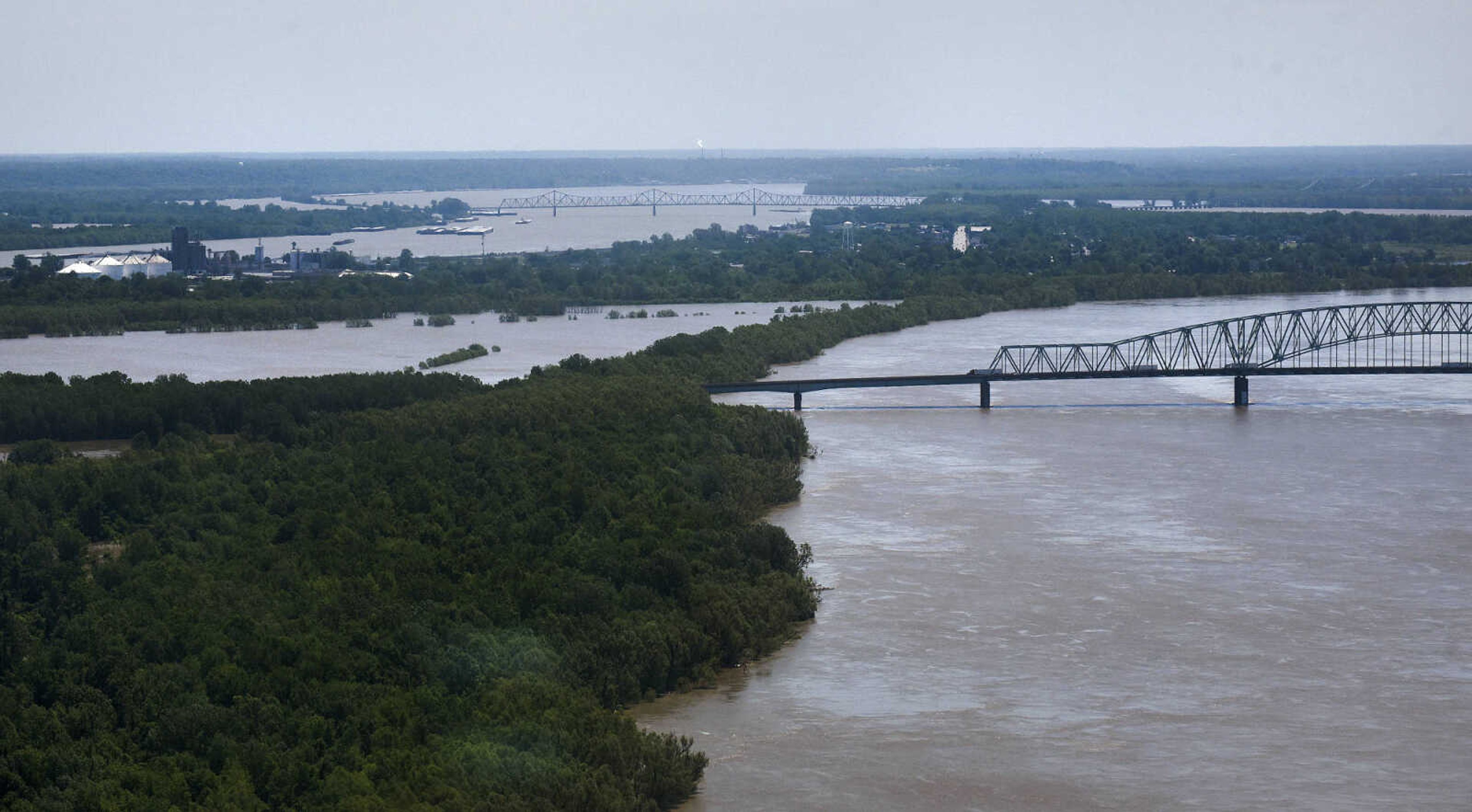
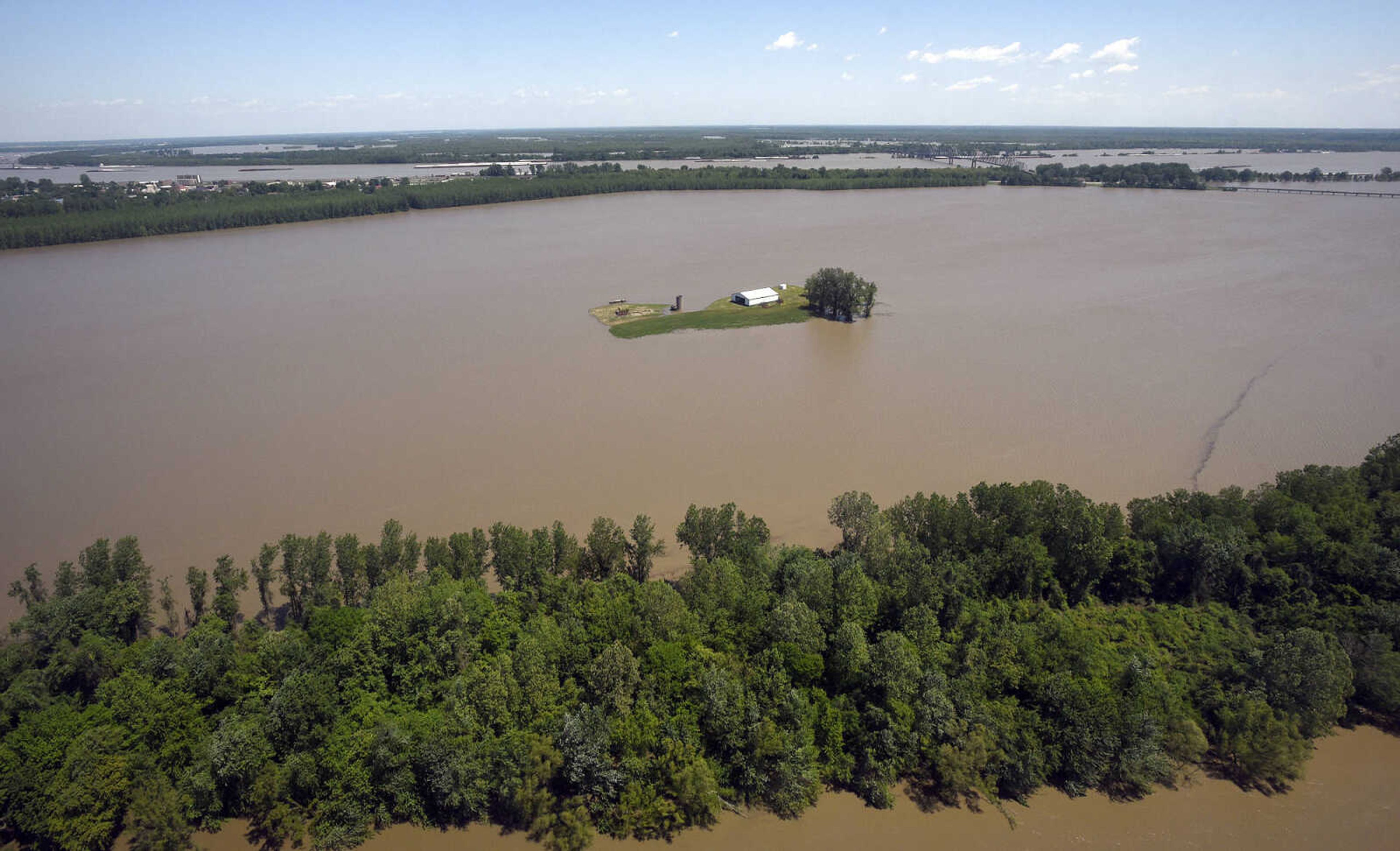
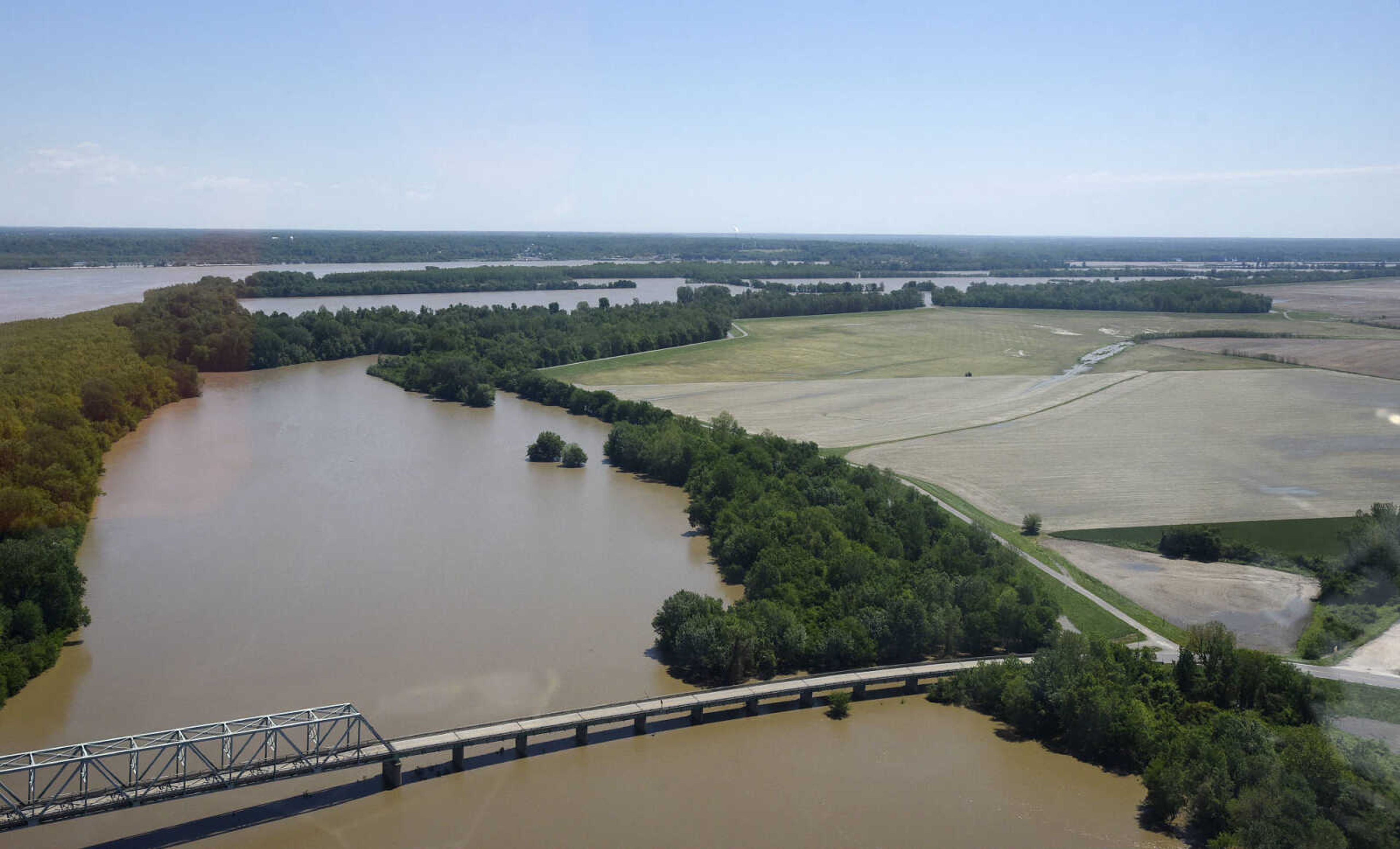
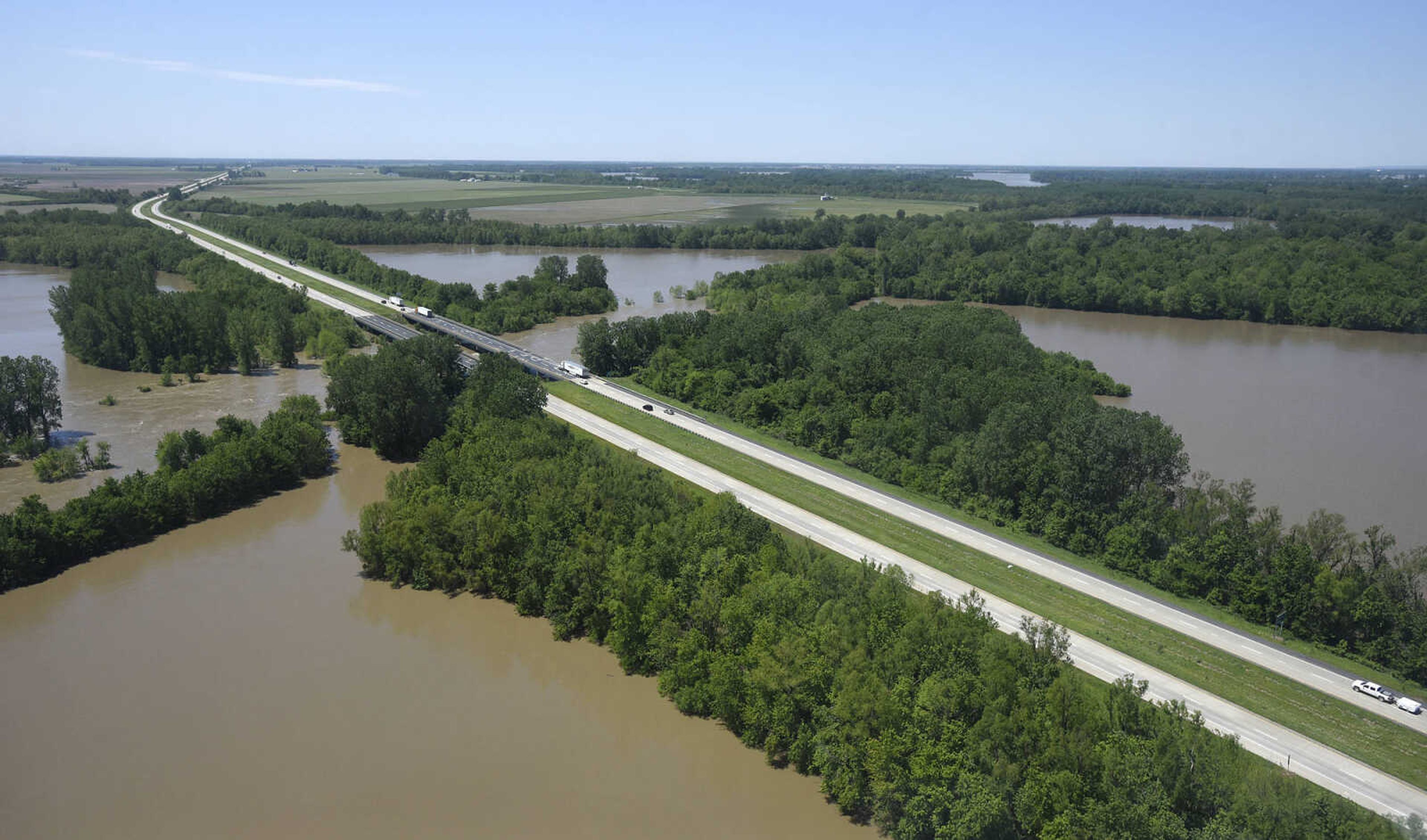
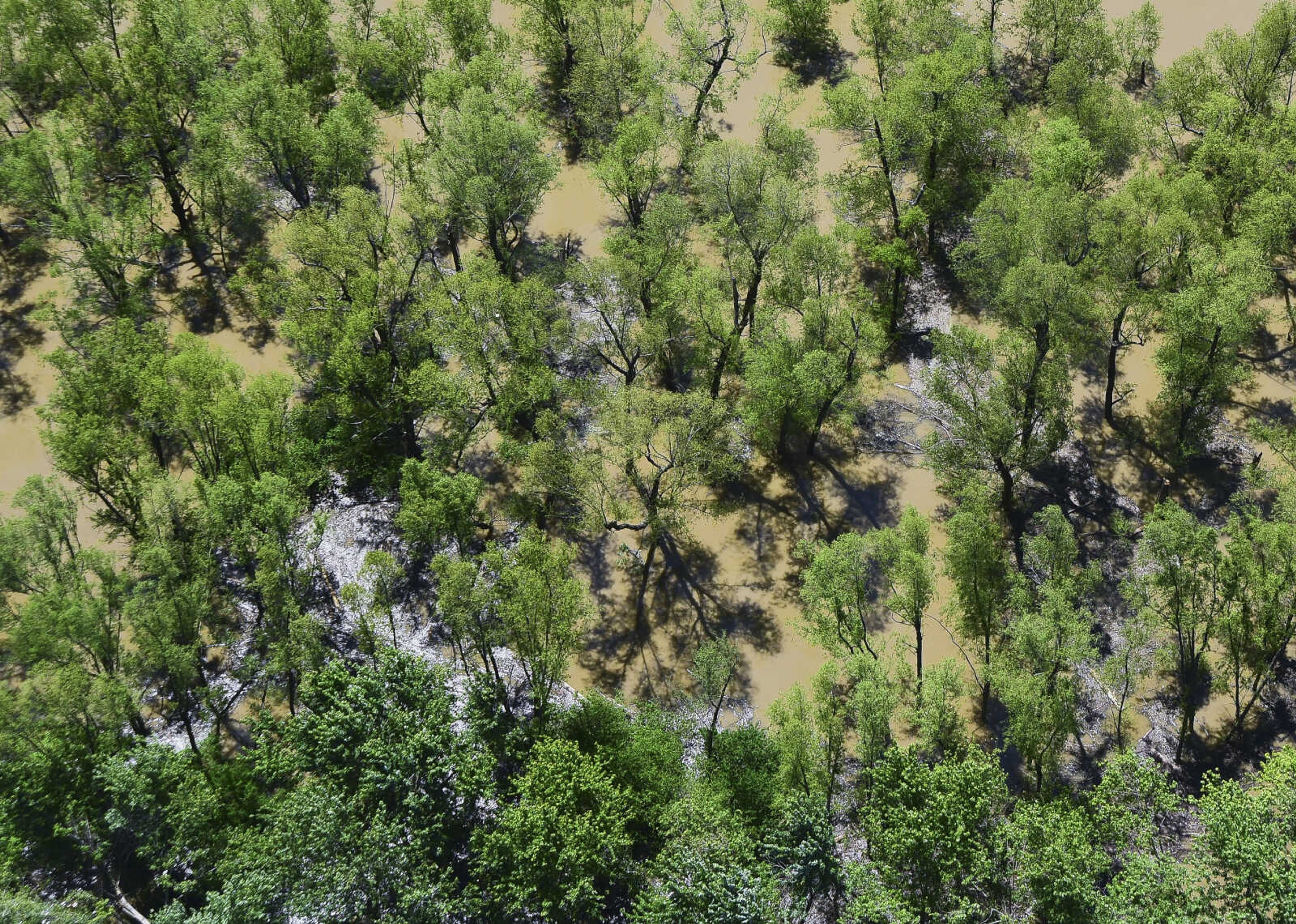
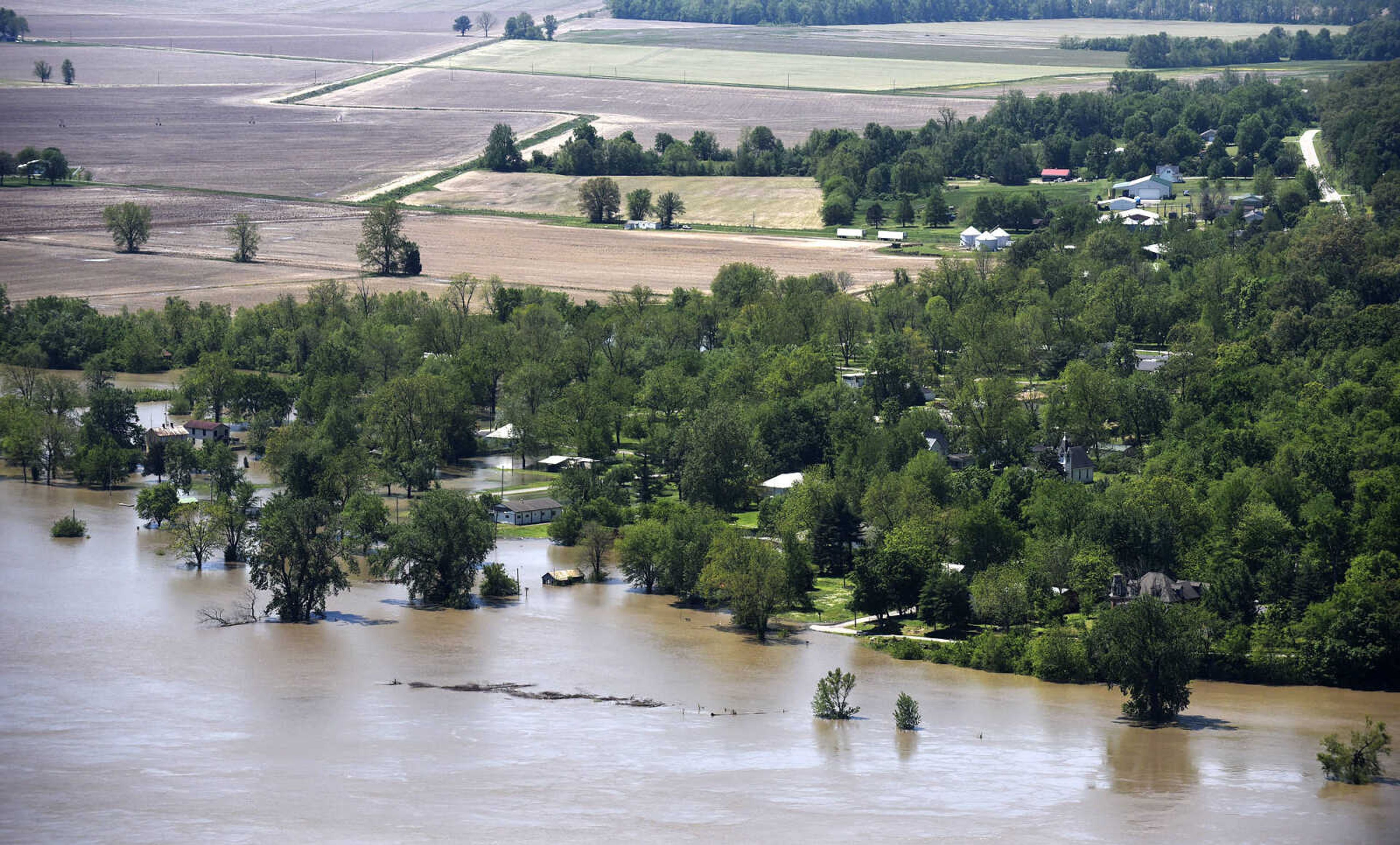
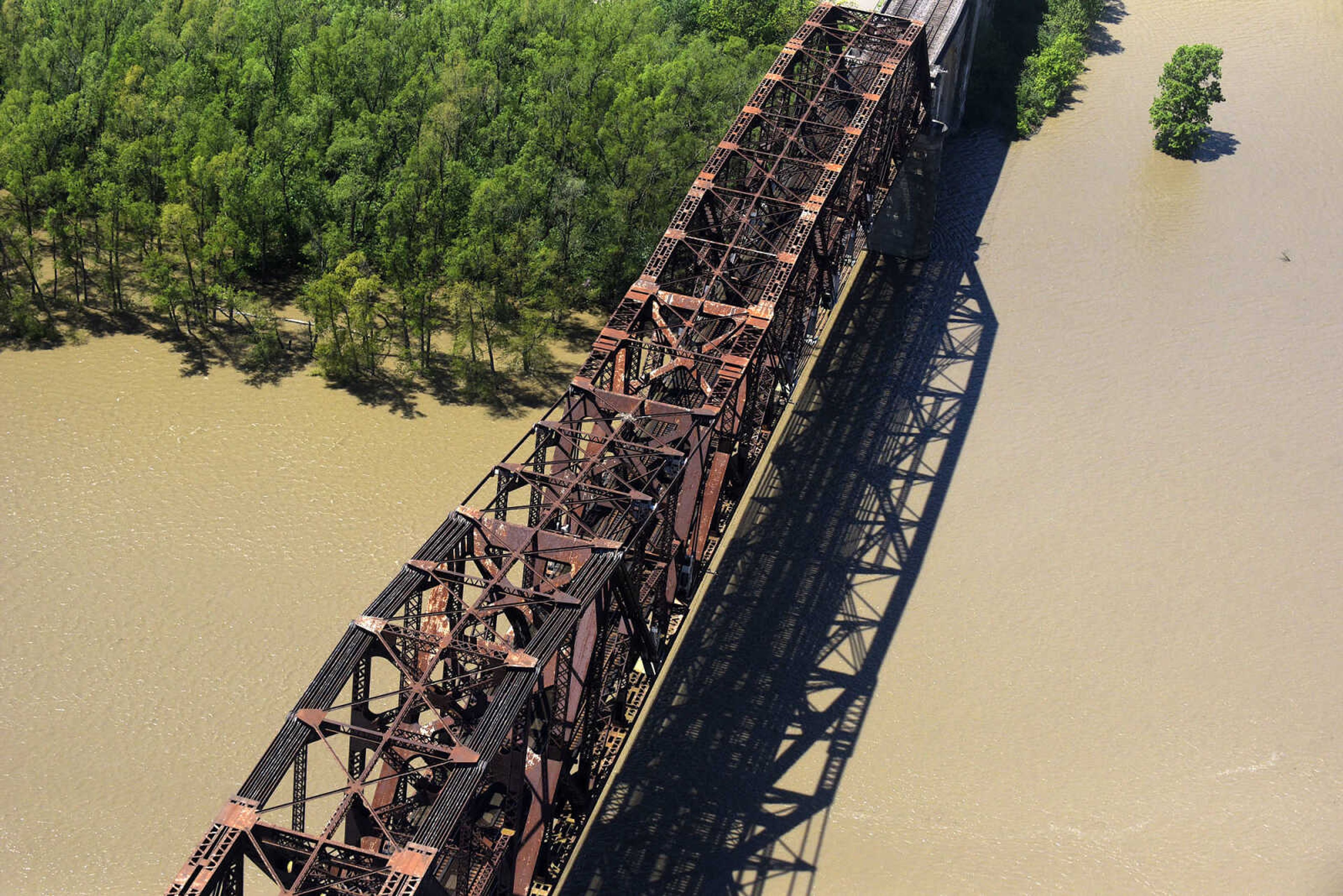
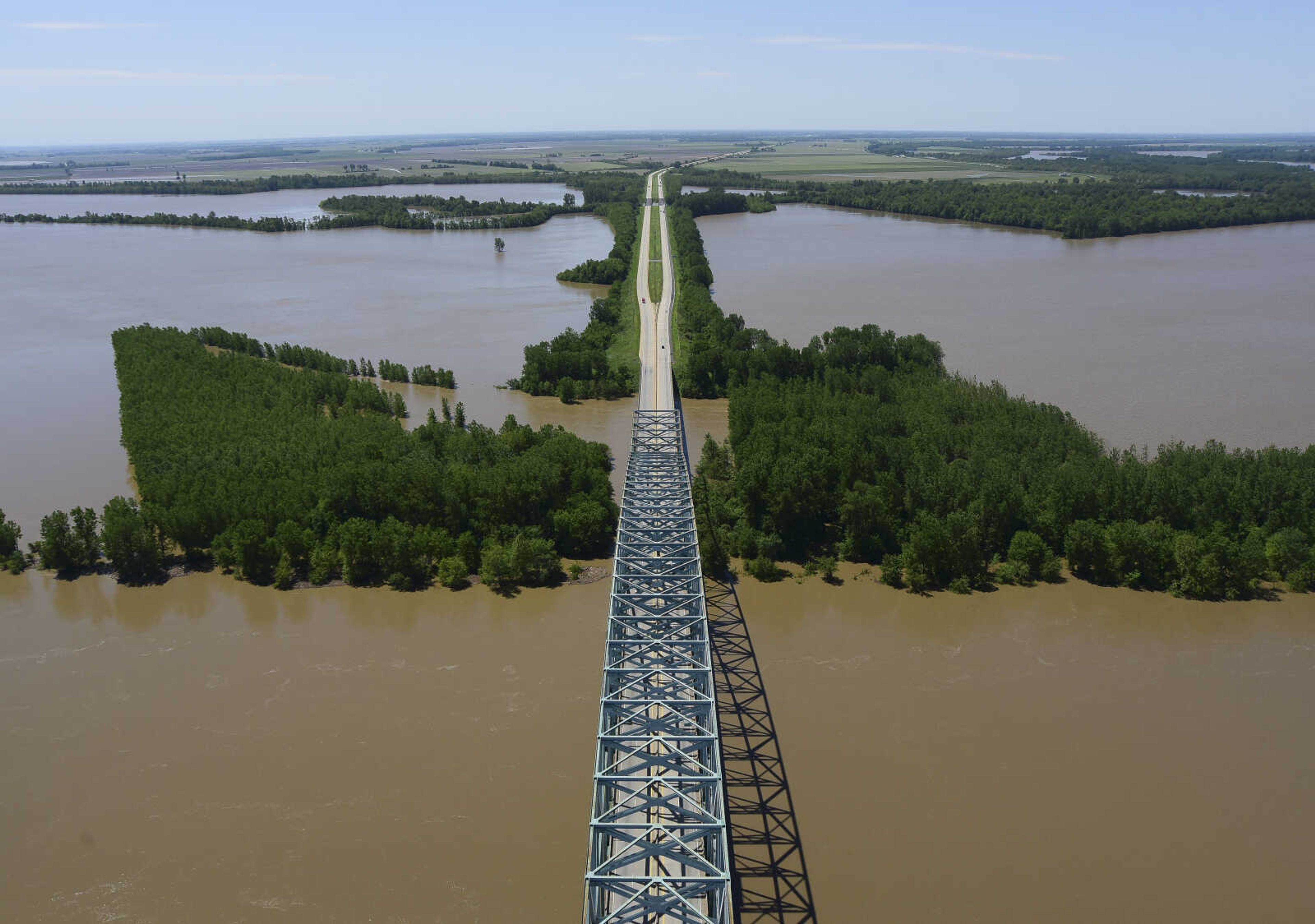
U. S. Coast Guard flight crew survey the flood area to look for possible flood breaches along the Mississippi River from Cape Girardeau to Cairo, Illinois on Saturday, May 6, 2017.Laura Simon and Andrew Whitaker


Receive Daily Headlines FREESign up today!
U. S. Coast Guard flight crew survey the flood area to look for possible flood breaches along the Mississippi River from Cape Girardeau to Cairo, Illinois on Saturday, May 6, 2017.
Story Tags
Connect with the Southeast Missourian Newsroom:
For corrections to this story or other insights for the editor, click here. To submit a letter to the editor, click here. To learn about the Southeast Missourian’s AI Policy, click here.


Advertisement
Receive Daily Headlines FREESign up today!
