NewsJune 1, 2011
Cape Girardeau aerials historical gallery
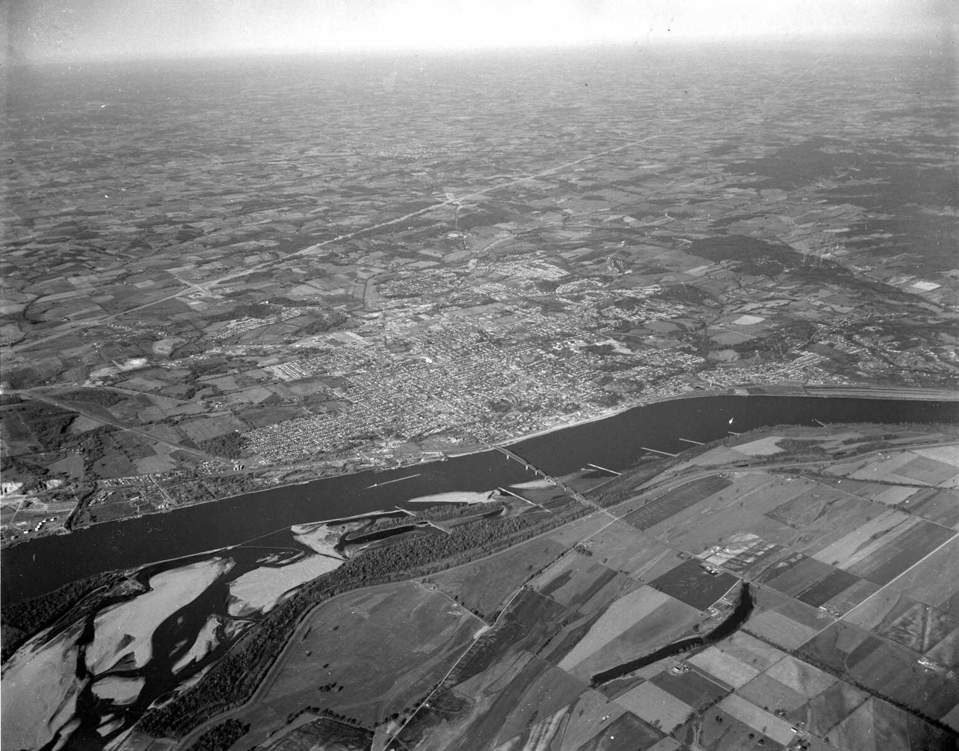
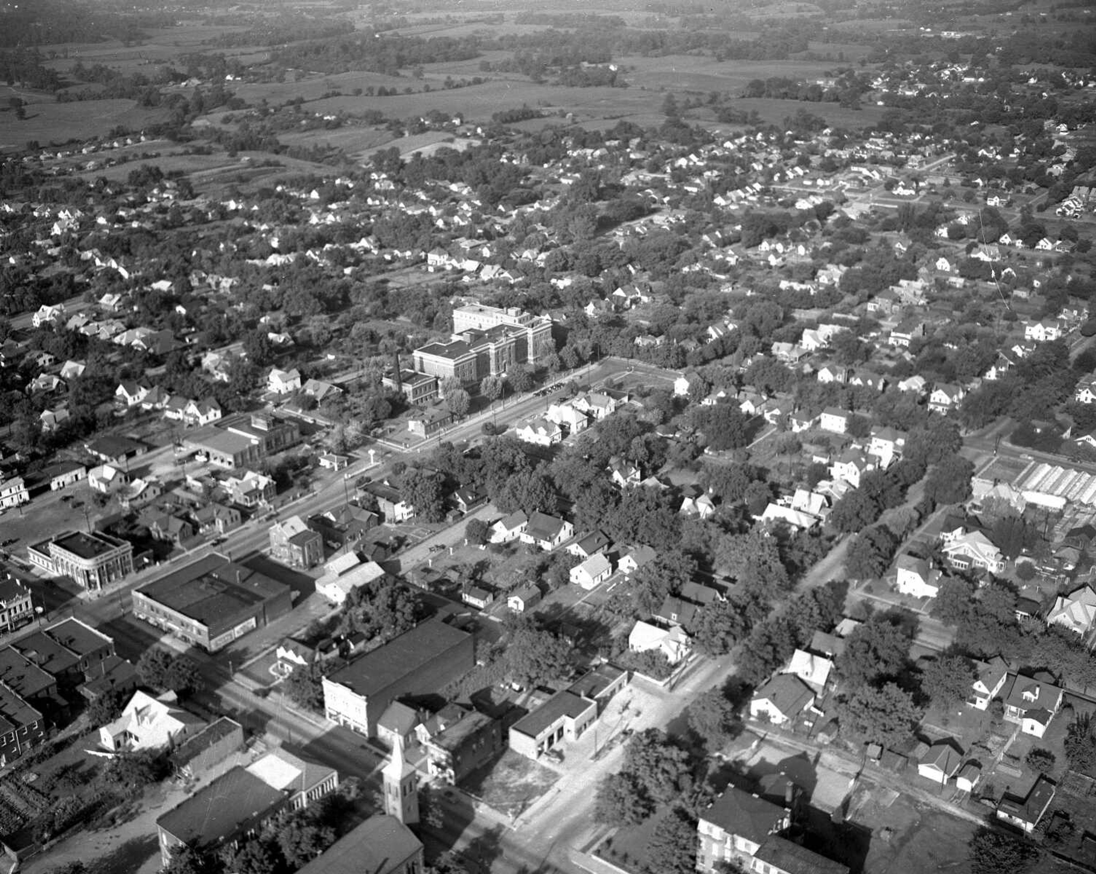
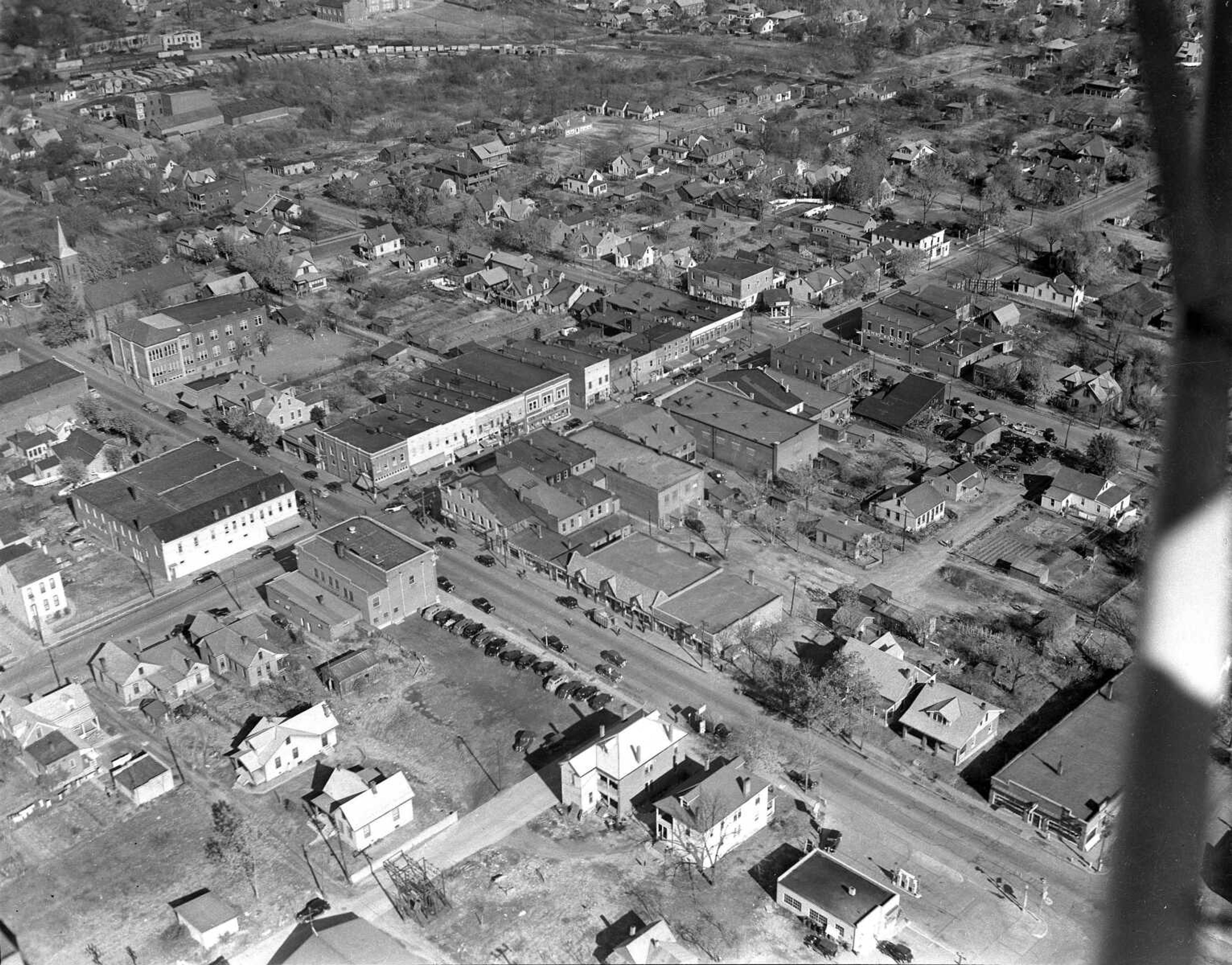
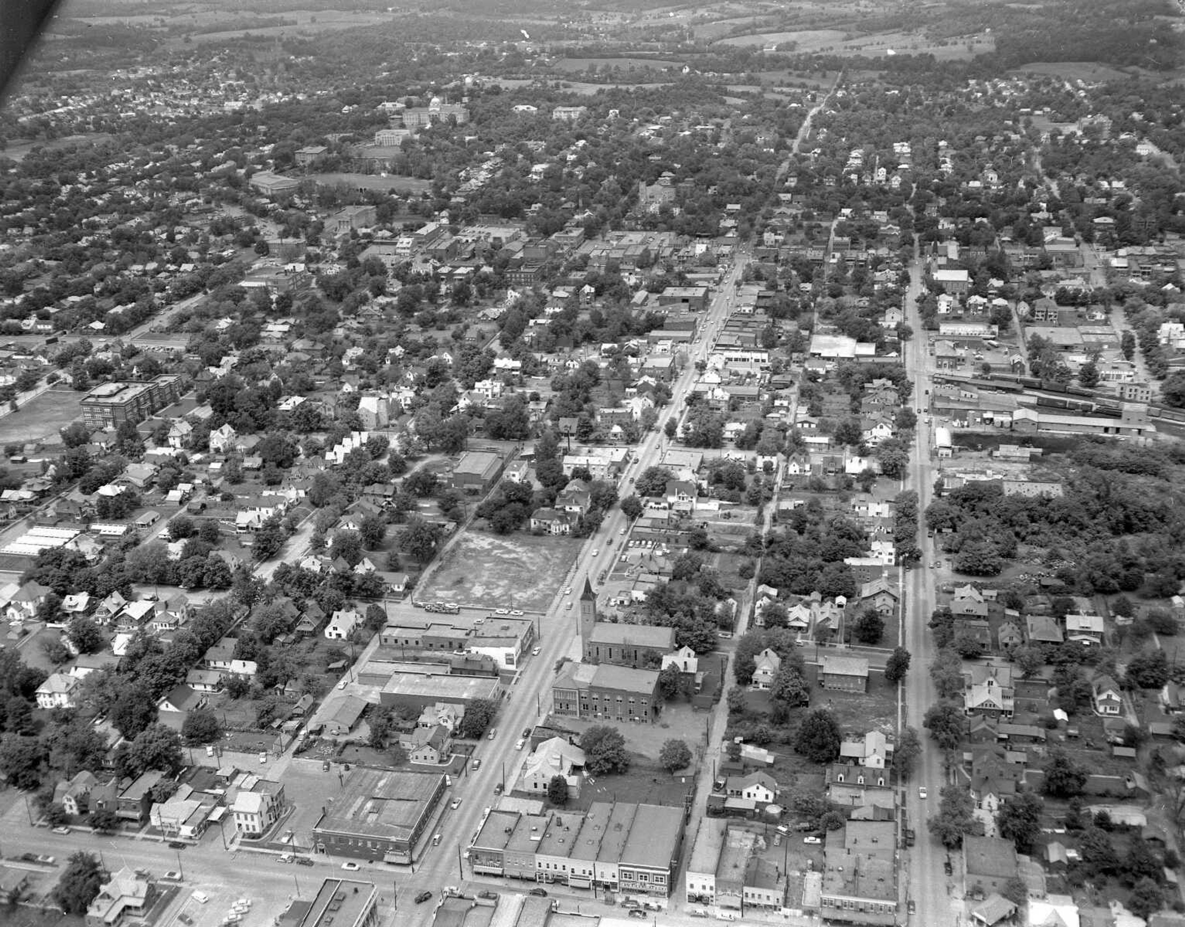
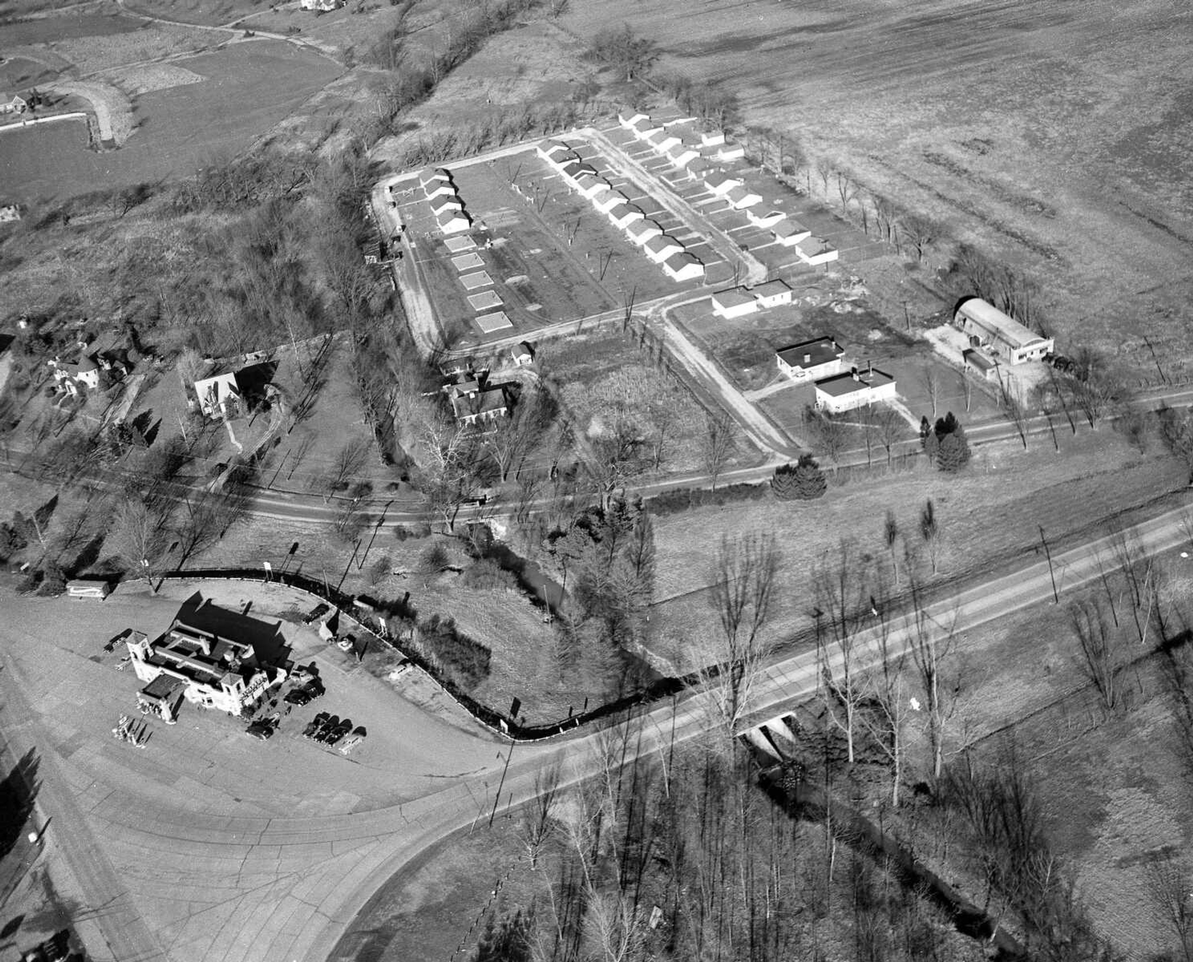
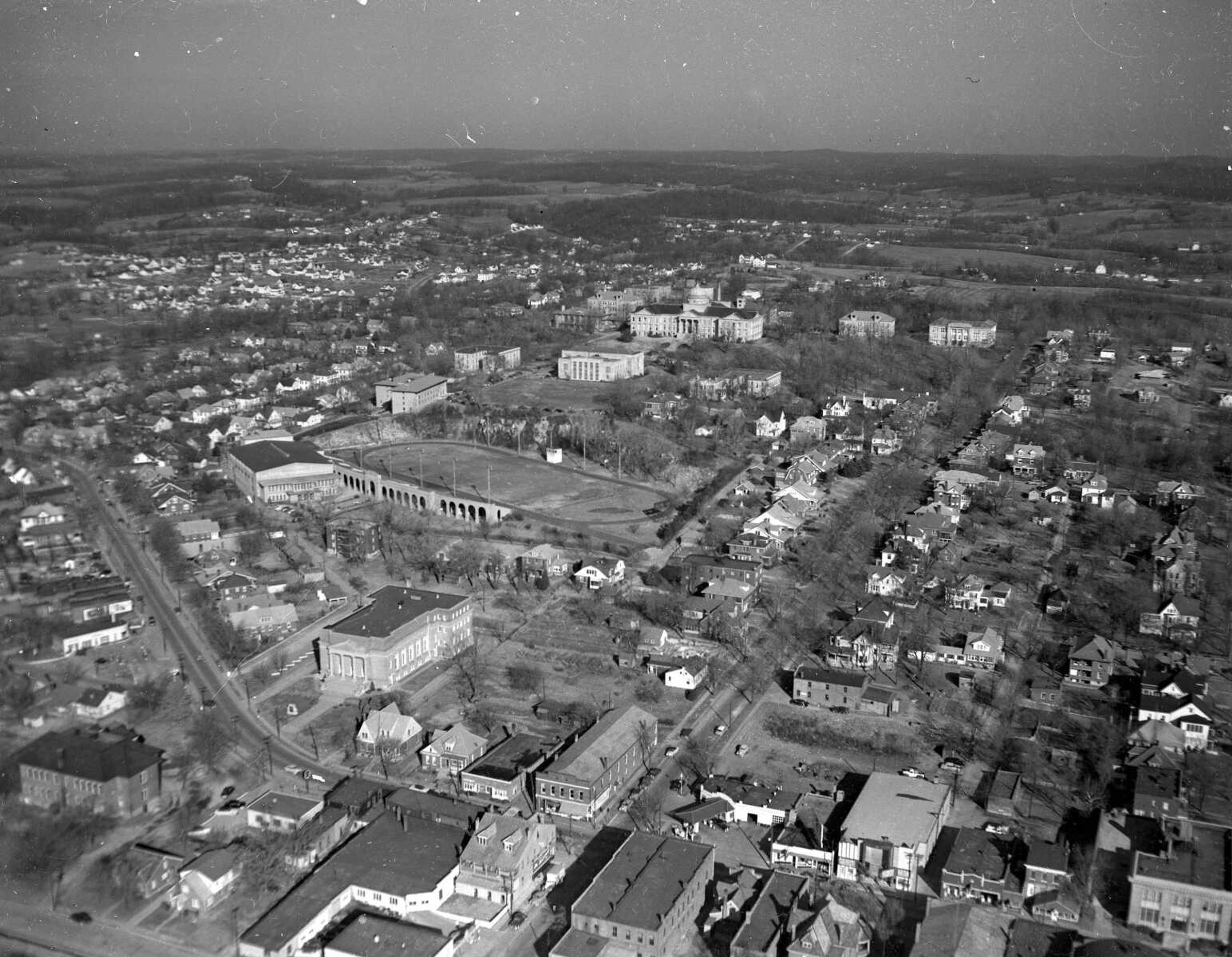
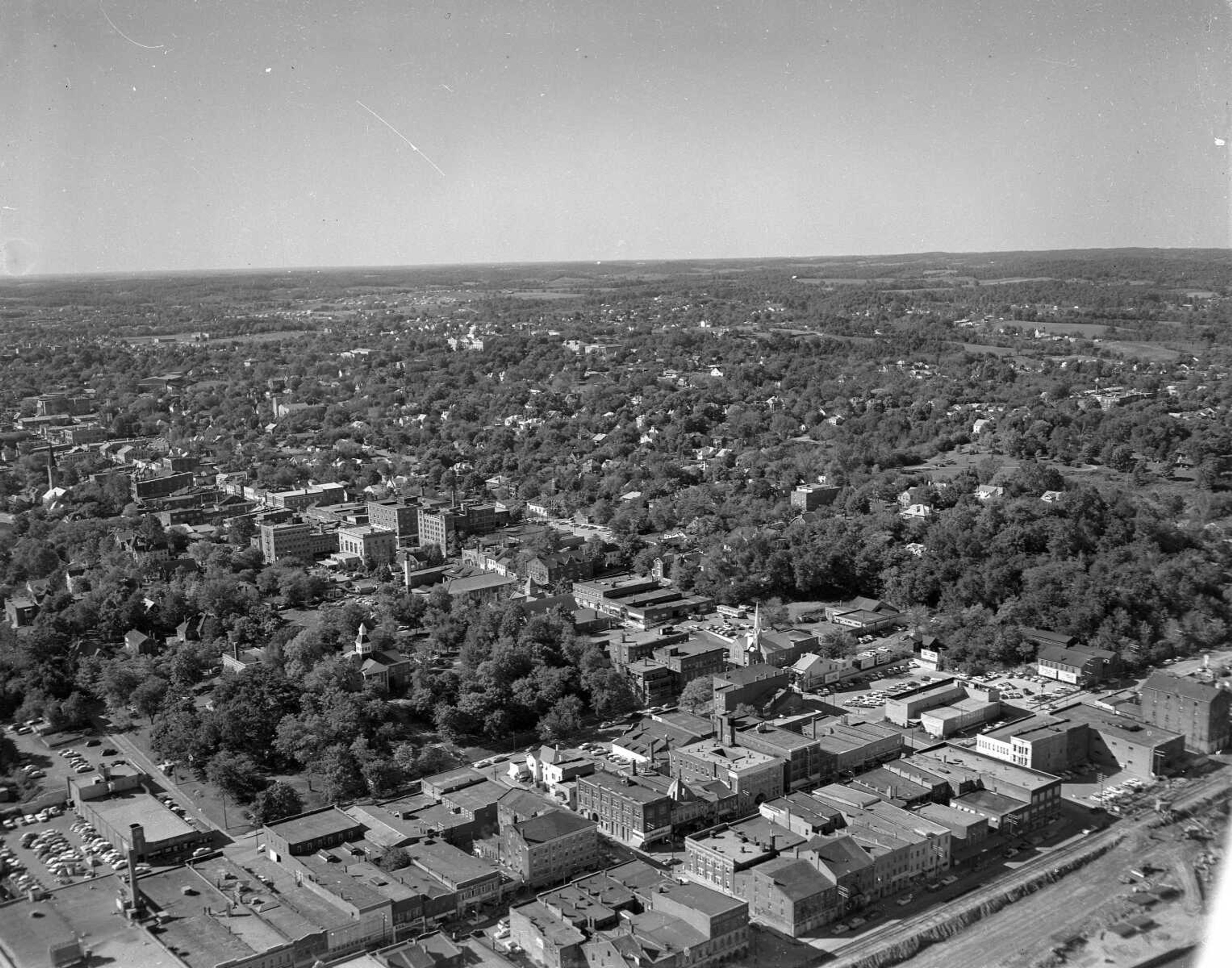
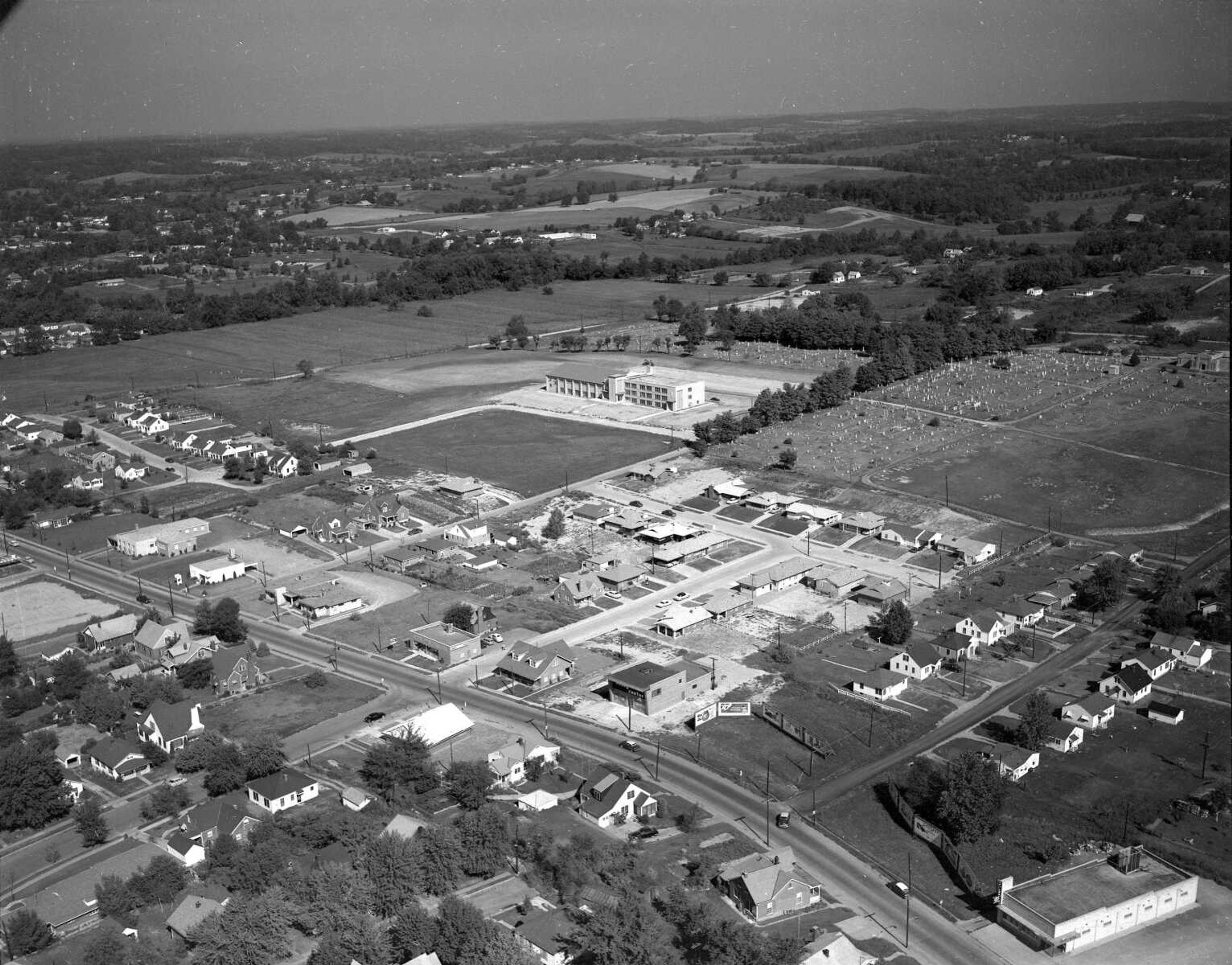
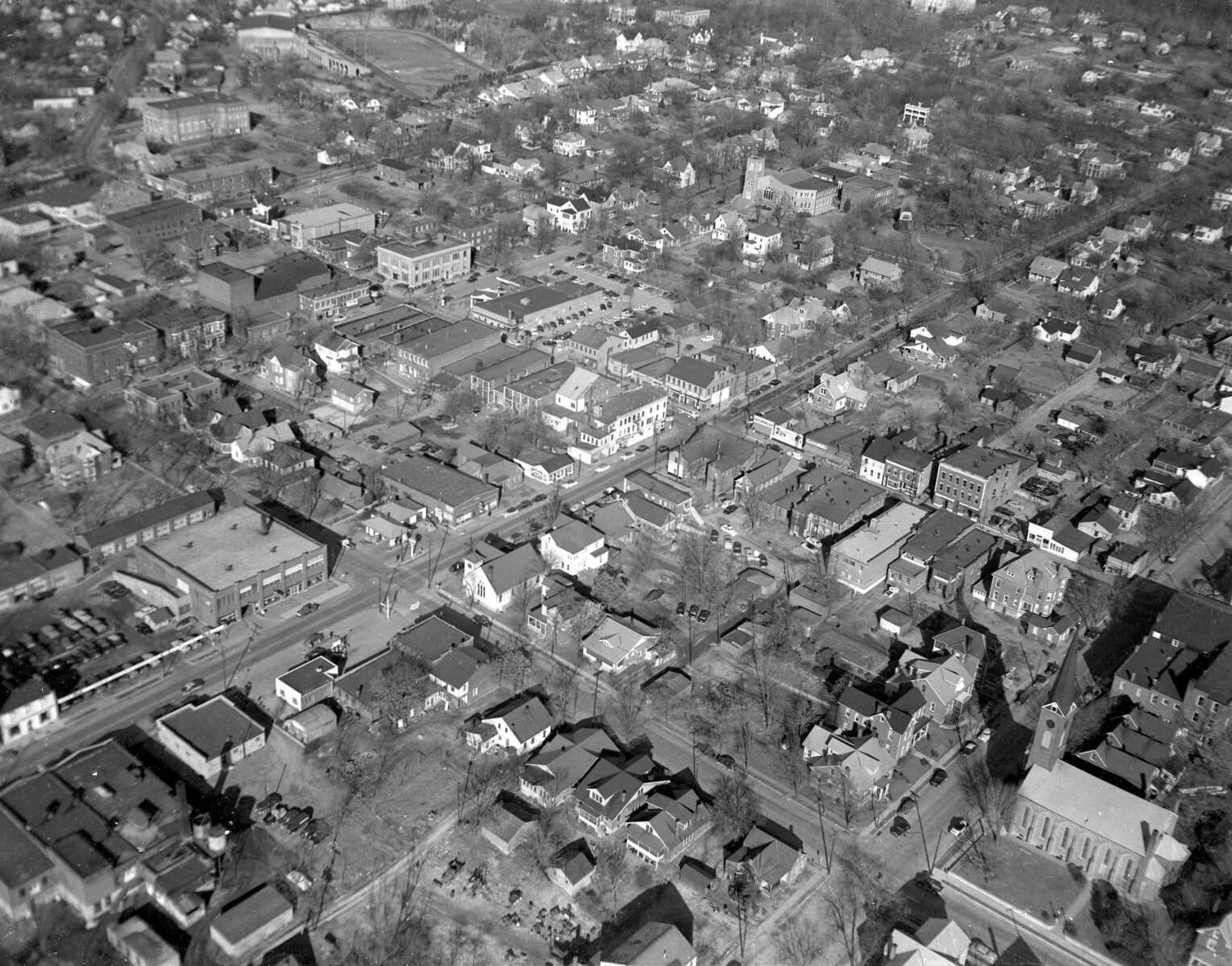
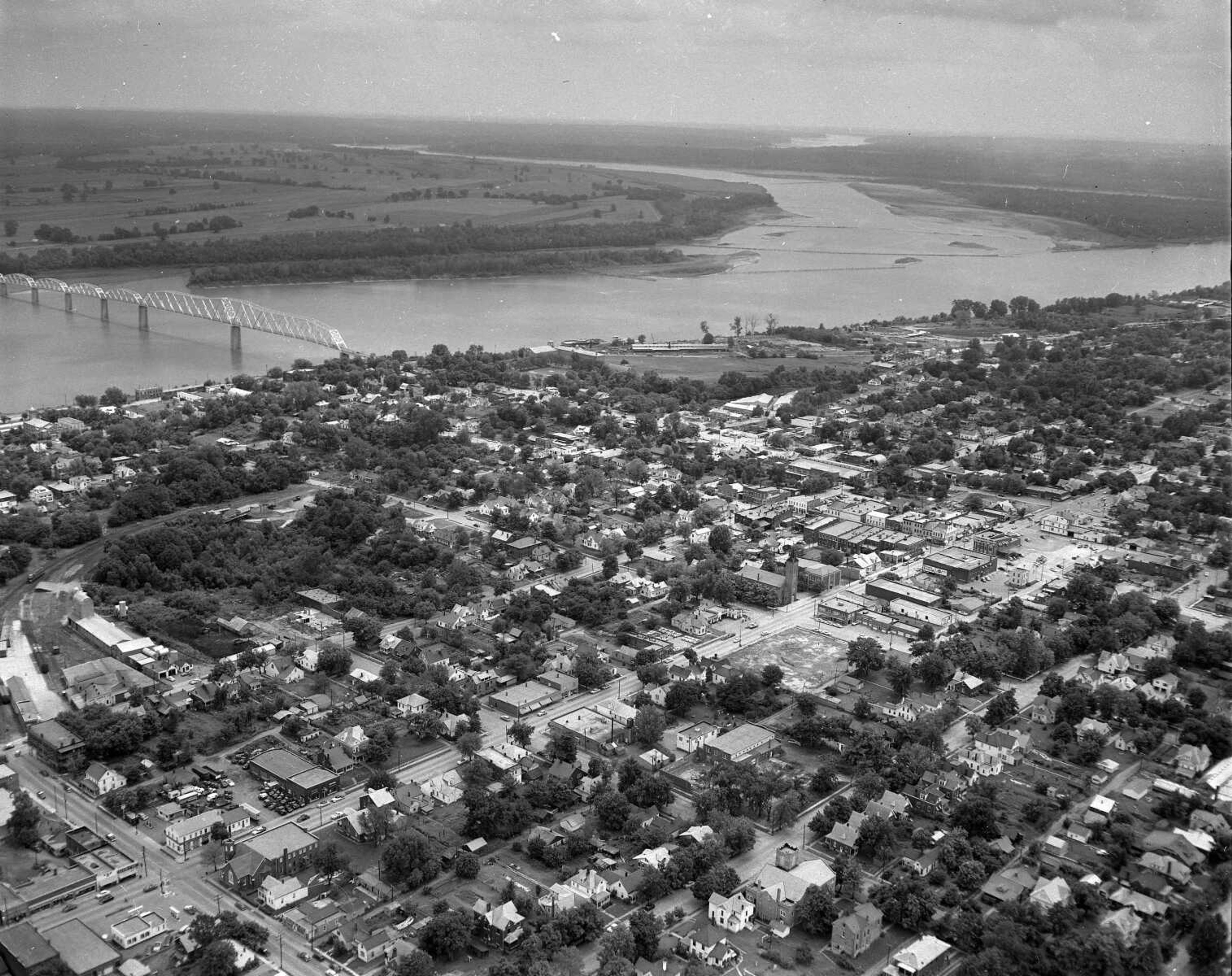
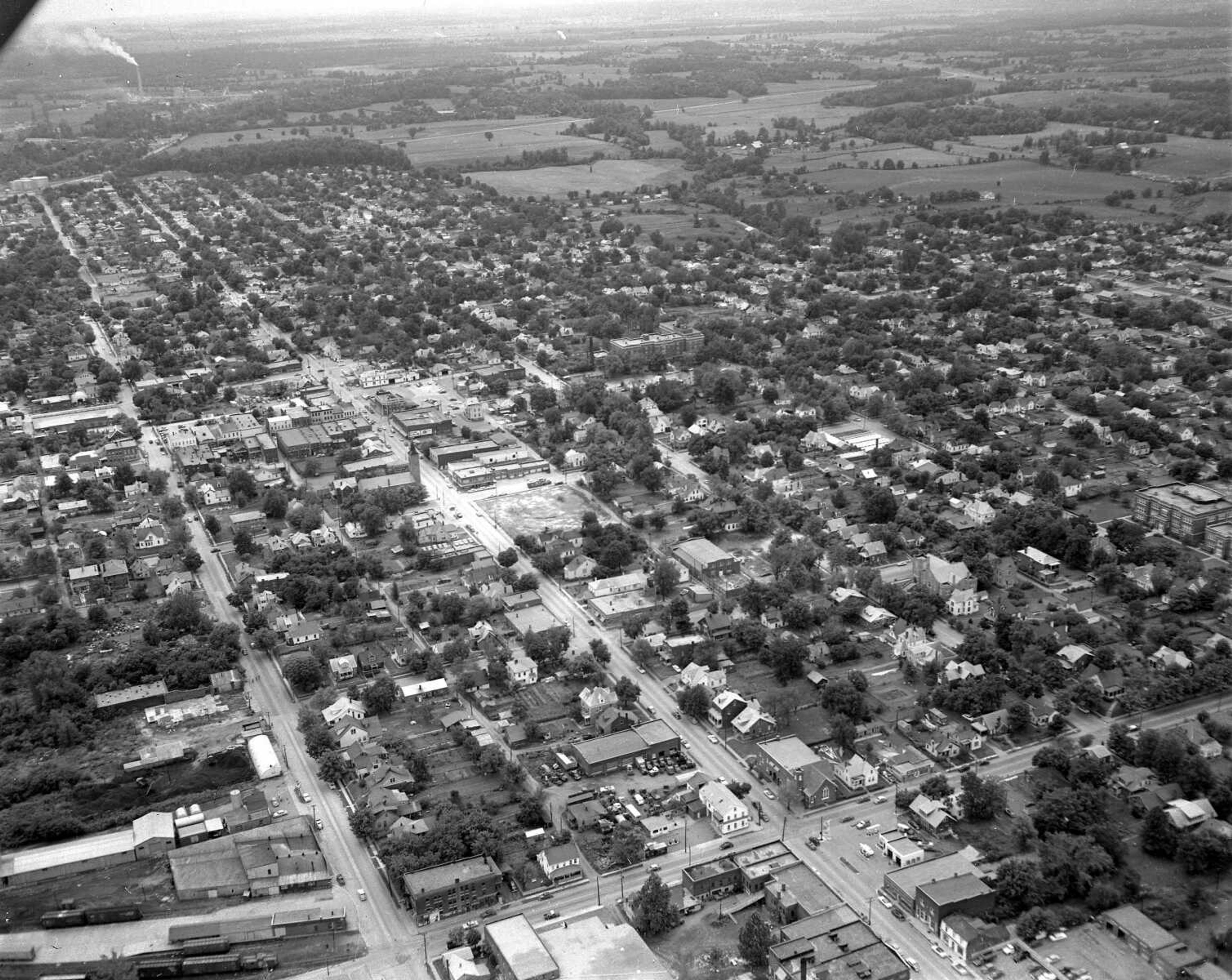
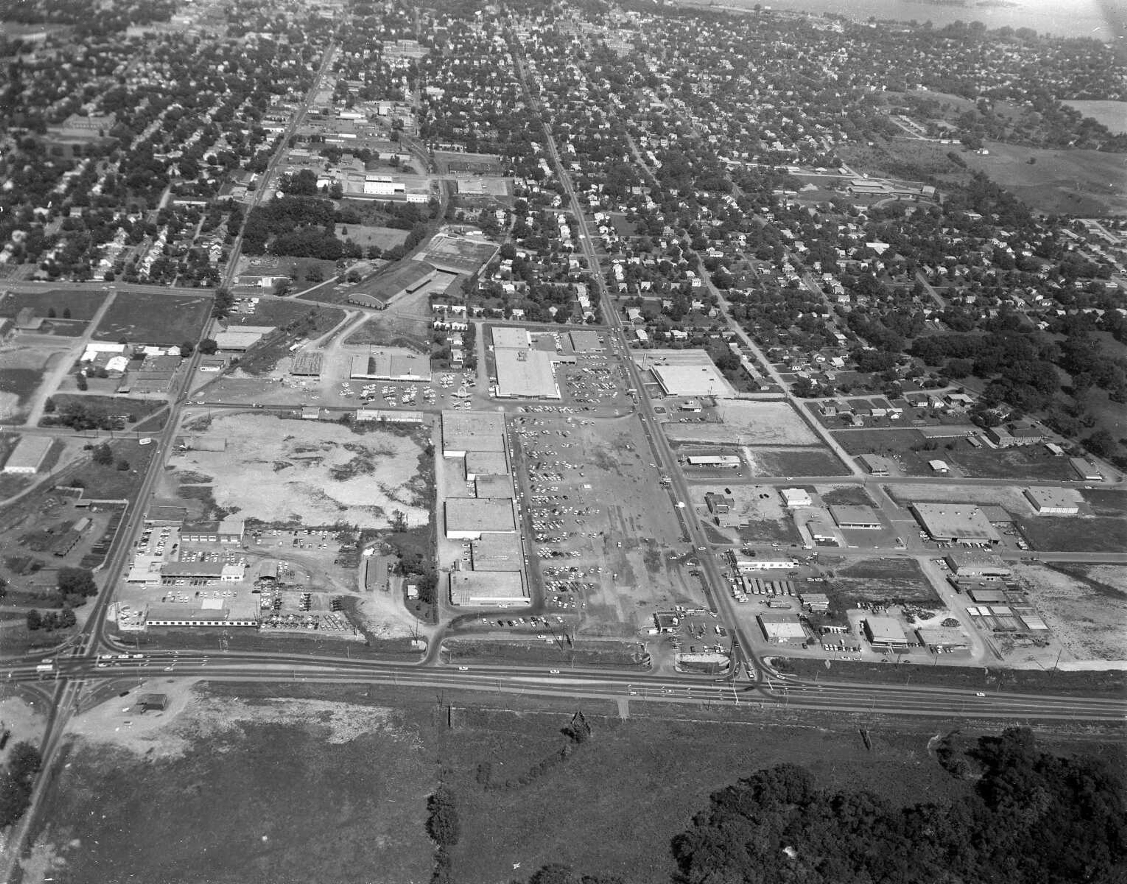
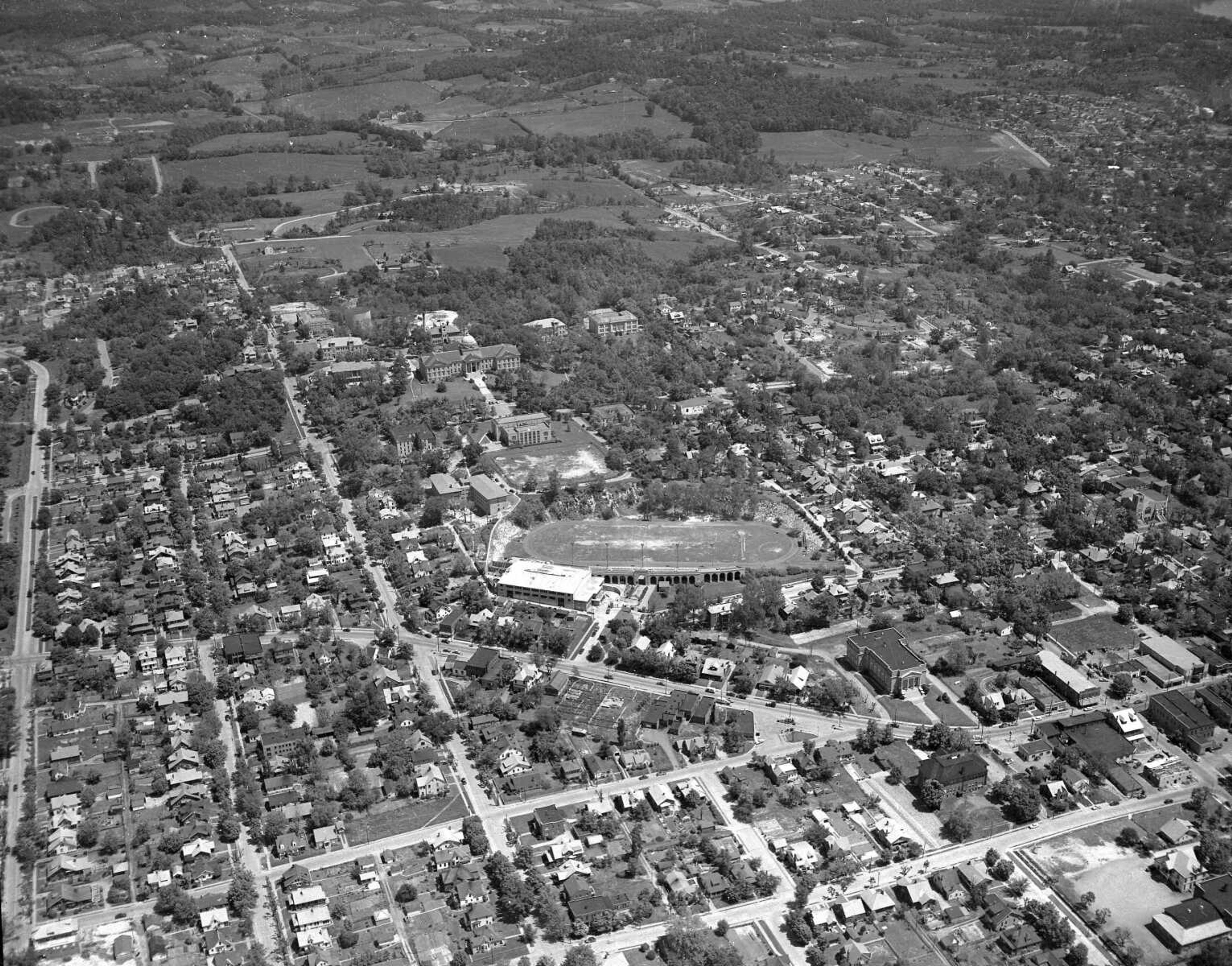
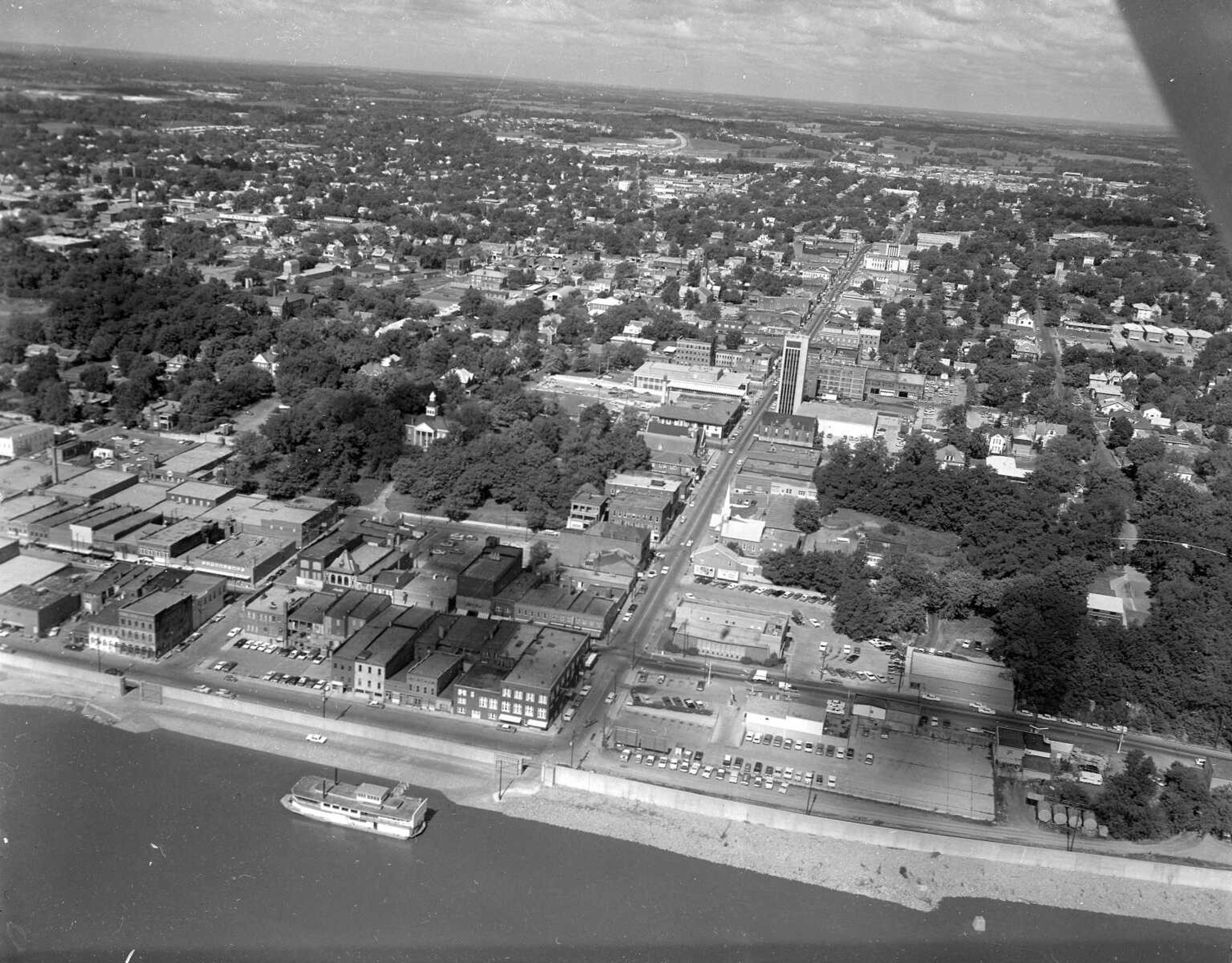
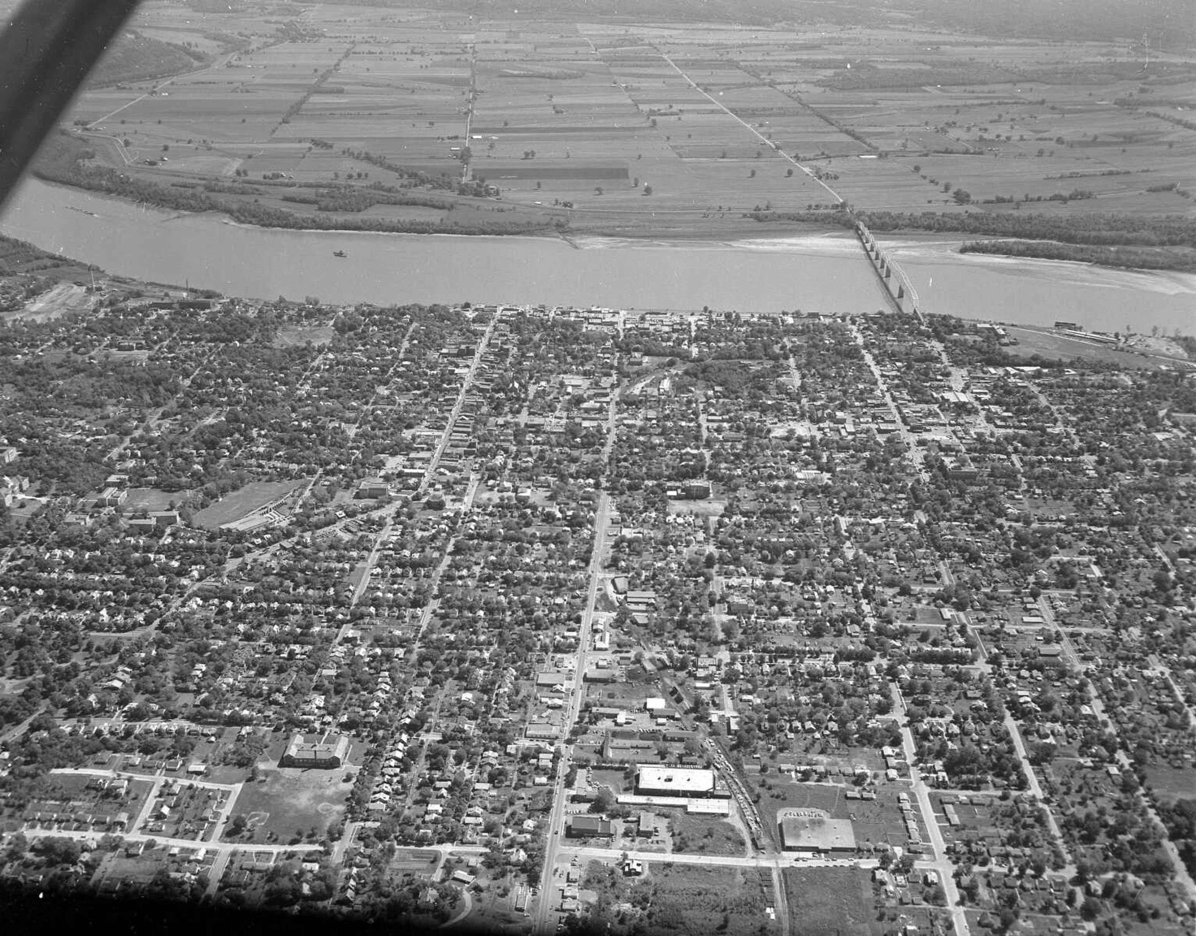
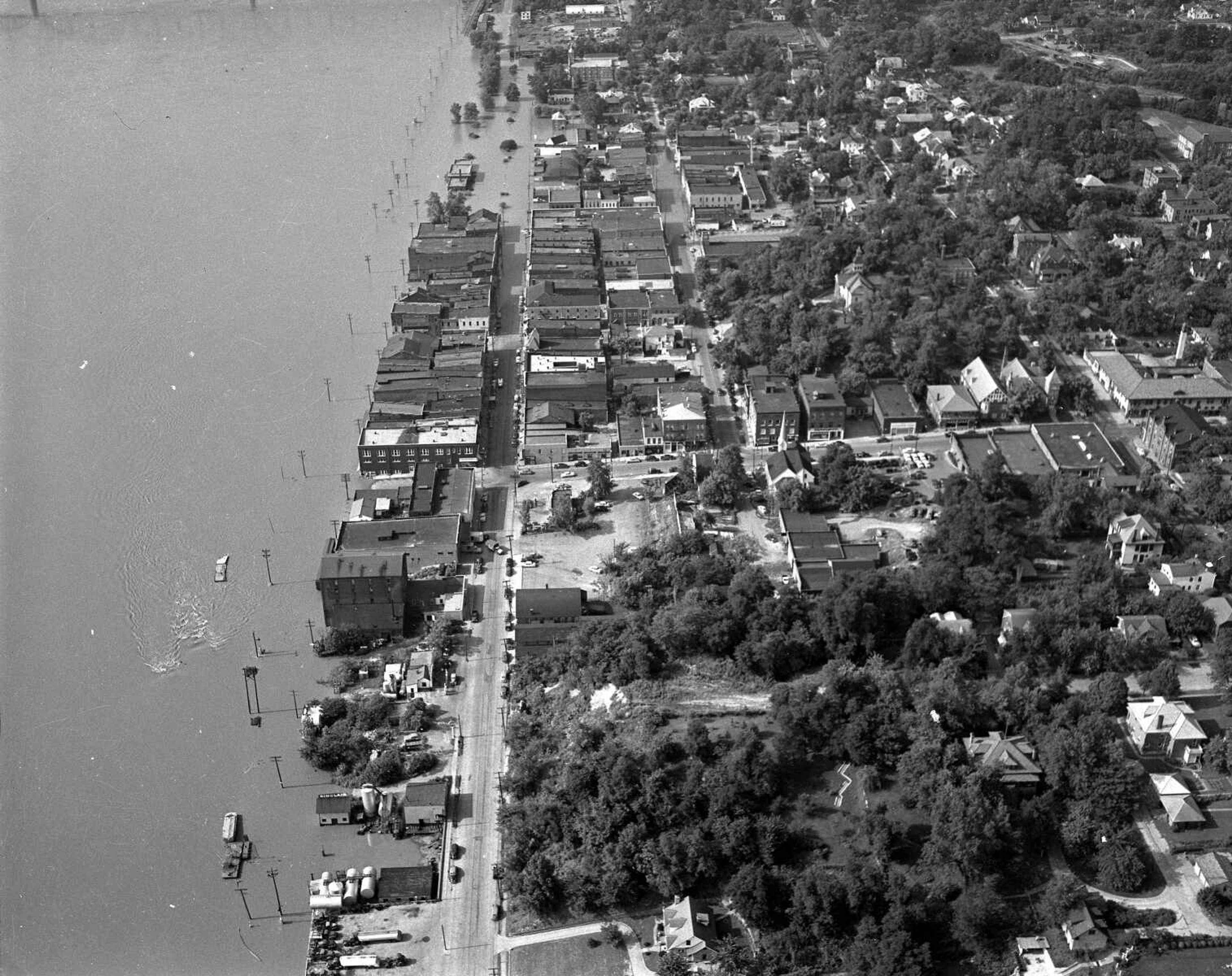
Garland D. "Frony" Fronabarger took hundreds of aerial photos of Cape Girardeau during his tenure as the Southeast Missourian's photographer. Fronabarger joined the newspaper in 1927 and retired in 1986. Staff members have chosen a few to share.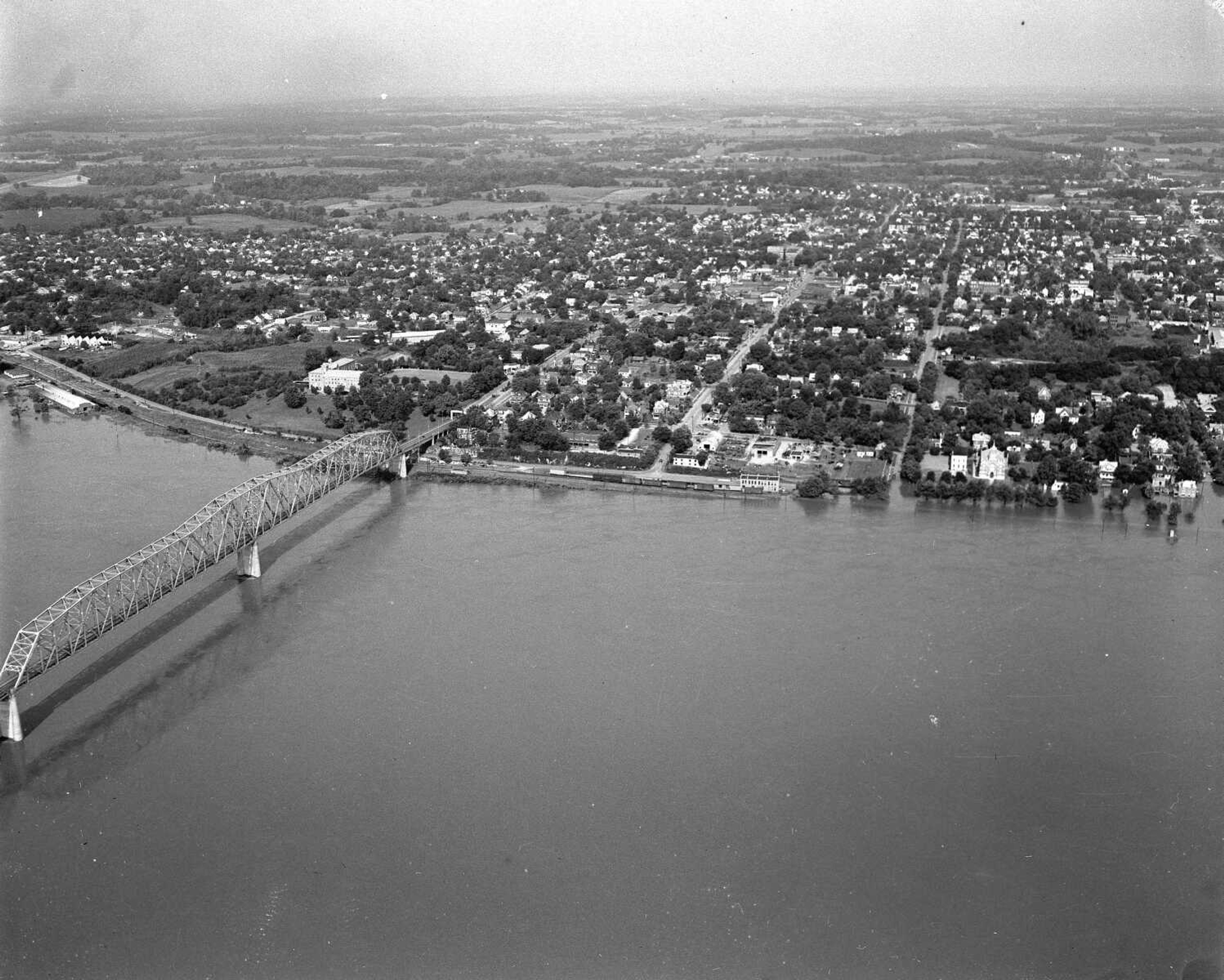


Receive Daily Headlines FREESign up today!
Garland D. "Frony" Fronabarger took hundreds of aerial photos of Cape Girardeau during his tenure as the Southeast Missourian's photographer. Fronabarger joined the newspaper in 1927 and retired in 1986. Staff members have chosen a few to share.
Story Tags
Connect with the Southeast Missourian Newsroom:
For corrections to this story or other insights for the editor, click here. To submit a letter to the editor, click here. To learn about the Southeast Missourian’s AI Policy, click here.


Advertisement
Receive Daily Headlines FREESign up today!
