NewsJanuary 13, 2009
Blizzard makes its way through several northern states
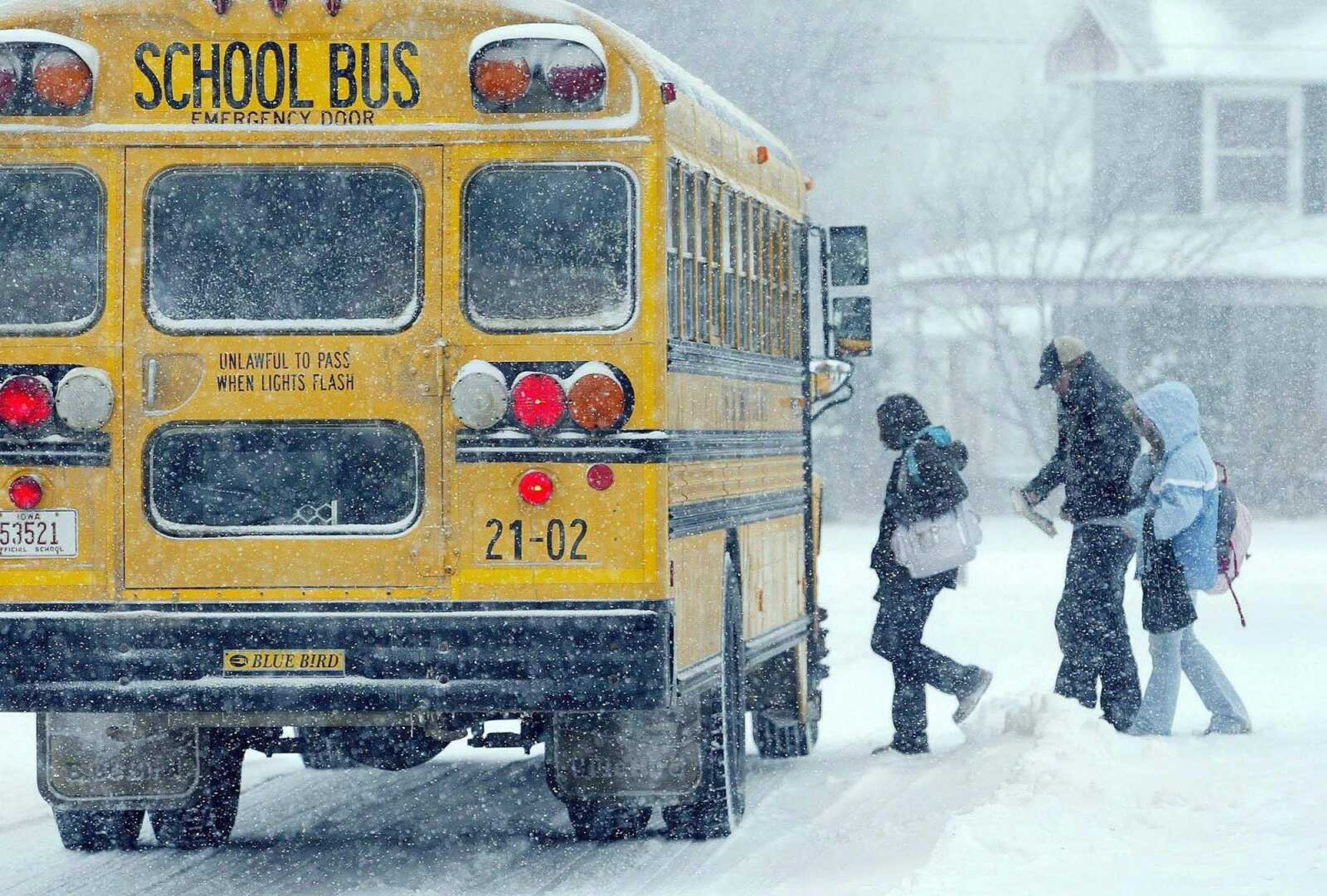
BISMARCK, N.D. -- A fast-moving blizzard brought snow and high winds to North Dakota on Monday, closing schools and causing more headaches for residents still trying to dig out from a record snowfall last month. Forecasters said a blast of cold air was on the way that could send the thermometer as low as 30 below zero...The Associated Press
BISMARCK, N.D. -- A fast-moving blizzard brought snow and high winds to North Dakota on Monday, closing schools and causing more headaches for residents still trying to dig out from a record snowfall last month.
Forecasters said a blast of cold air was on the way that could send the thermometer as low as 30 below zero.
Travel was discouraged in the central and western parts of North Dakota because drifting snow, whipped up by high winds, made the visibility almost zero. While the travel advisory was lifted by midday, new advisories were posted in the southeastern part of the state.
No injuries were reported.
The Minot area got 6 inches of snow, on top of about a foot late last week, while Bismarck picked up another 4 inches.
Wind gusts of around 60 mph were reported in southwestern North Dakota and 51 mph in Bismarck. Eastern Montana was rattled with gusts of up to 70 mph, meteorologist Bill Abeling said, but that area did not have as much snow.
As the system moved eastward, blizzard or near-blizzard conditions were expected in parts of South Dakota, Iowa, Minnesota and Illinois. In Iowa, forecasters said 2 to 4 inches of new snow will bring totals since the weekend to nearly a foot in some places, and wind gusts could top 40 mph.
The forecast in northern Illinois called for up to 5 inches of snow and temperatures in the single digits.
Receive Daily Headlines FREESign up today!
In Wisconsin, the overnight low could fall to 23 below zero, while later in the week, folks in northeastern North Dakota could see the thermometer drop to around 40 below.
Bismarck, Fargo and Grand Forks all broke snow records for December, each with more than 30 inches.
Meanwhile, residents of the Midwest and Northeast dug out after their own tussles with weekend storms.
Most residents in New England heeded the authorities' warnings to stay off roads after a storm dumped up to 9 inches of snow in some areas in Massachusetts and sleet and freezing rain across Rhode Island. Some communities declared snow emergencies to help cleanup crews plow streets.
The bitter cold that was stalking the upper Plains was expected to bring bone-chilling temperatures to the East by week's end.
Residents in the Atlanta area could see temperatures in the high teens later in the week, forecasters said. And in Maine, where overnight lows early Monday dipped to as low as minus 22, even colder weather was in the offing by Thursday.
Still, not everyone was inconvenienced. Saturday's snow was a boon to Ohio ski resorts, which called it a stimulus package for their industry.
"We've been in business for 47 years and -- this is what I can't believe -- yesterday was by far the best gross sales day we've ever had," said George Shaffer, area manager of the Alpine Valley ski resort east of Cleveland in Geauga County, where 11 inches fell.
Story Tags
Advertisement
Connect with the Southeast Missourian Newsroom:
For corrections to this story or other insights for the editor, click here. To submit a letter to the editor, click here. To learn about the Southeast Missourian’s AI Policy, click here.


Advertisement
Receive Daily Headlines FREESign up today!
