Region tries to dig out of a sea of snow
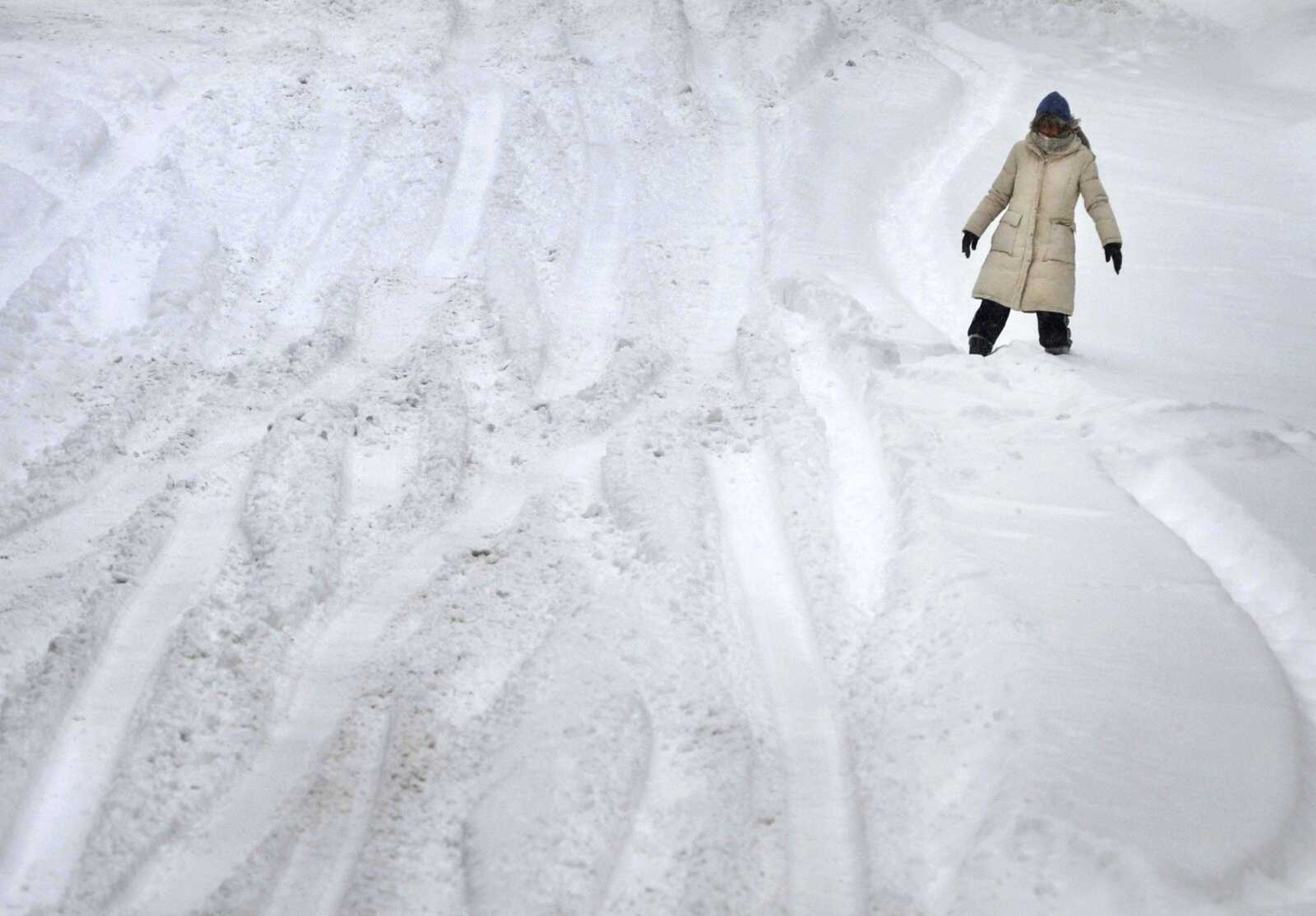
After being buried under almost a foot of snow, Southeast Missouri is slowly clearing the powder from the streets. The Missouri Department of Transportation showed all roads in Southeast Missouri had snow cover throughout the day, while the northern part of the state slowly transitioned to clear roadways...
After being buried under almost a foot of snow, Southeast Missouri is slowly clearing the powder from the streets.
The Missouri Department of Transportation showed all roads in Southeast Missouri had snow cover throughout the day, while the northern part of the state slowly transitioned to clear roadways.
At 1:57 p.m. Monday, Interstate 55 northbound was partially closed for the second time since the storm hit, when a tractor-trailer slid off the roadway and blocked a lane at the 62.4-mile marker near Sikeston, Missouri. The closure lasted about two hours.
The first incident occurred about 10 a.m. Monday, closing both lanes for about an hour after a crash along Interstate 55 between mile markers 80 and 89 near Scott City.
The National Weather Service in Paducah, Kentucky, reported Jackson received 10.5 inches of snow by 3 p.m. Monday.
In Benton, Missouri, the NWS reported a trained spotter recorded 9 inches at 12:50 p.m.
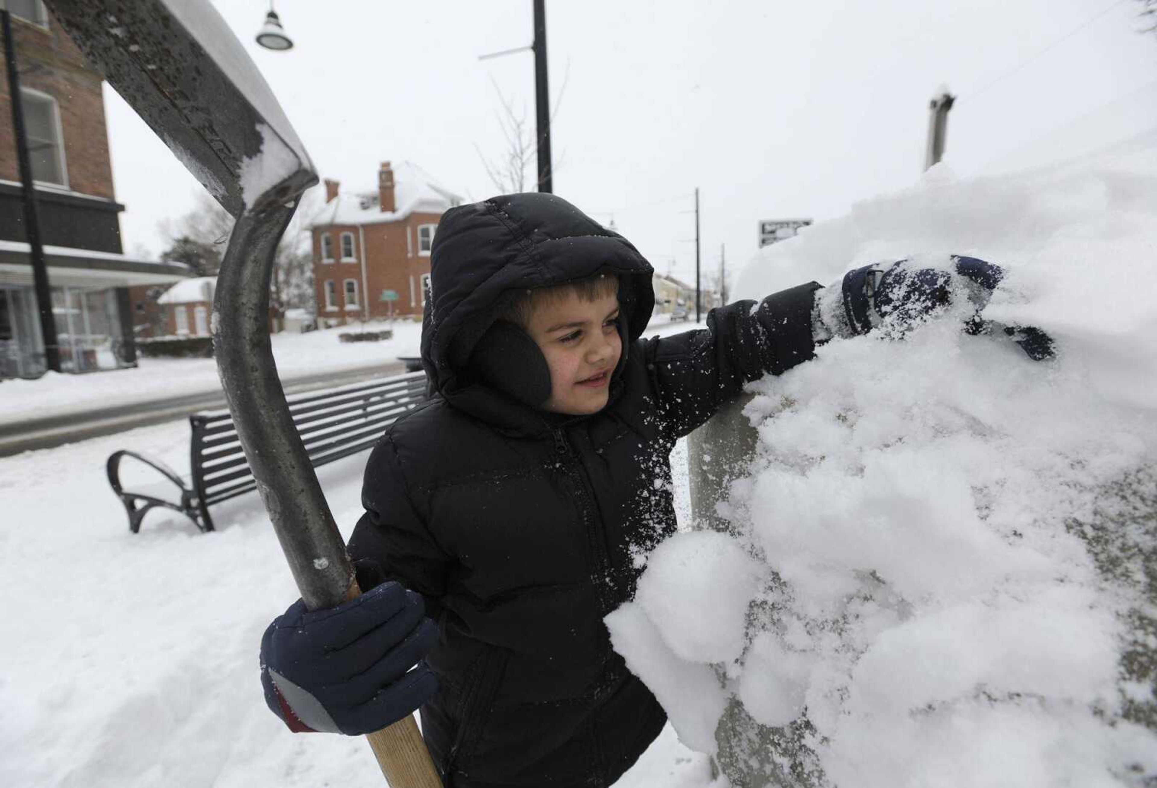
At 3:31 p.m., a member of the public reported to the NWS that Cape Girardeau had received 12 inches.
Stan Polivick, traffic operations engineer for the city of Cape Girardeau, said all city roads were evenly distributed with snow, and crews began working shortly after midnight Monday to begin clearing.
"Our second crew just came on at 10 a.m.," he said Monday. "They'll be working 'til 10 p.m., clearing off what we call the primary streets."
Polivick said the city hoped to have secondary or neighborhood streets cleared as well today.
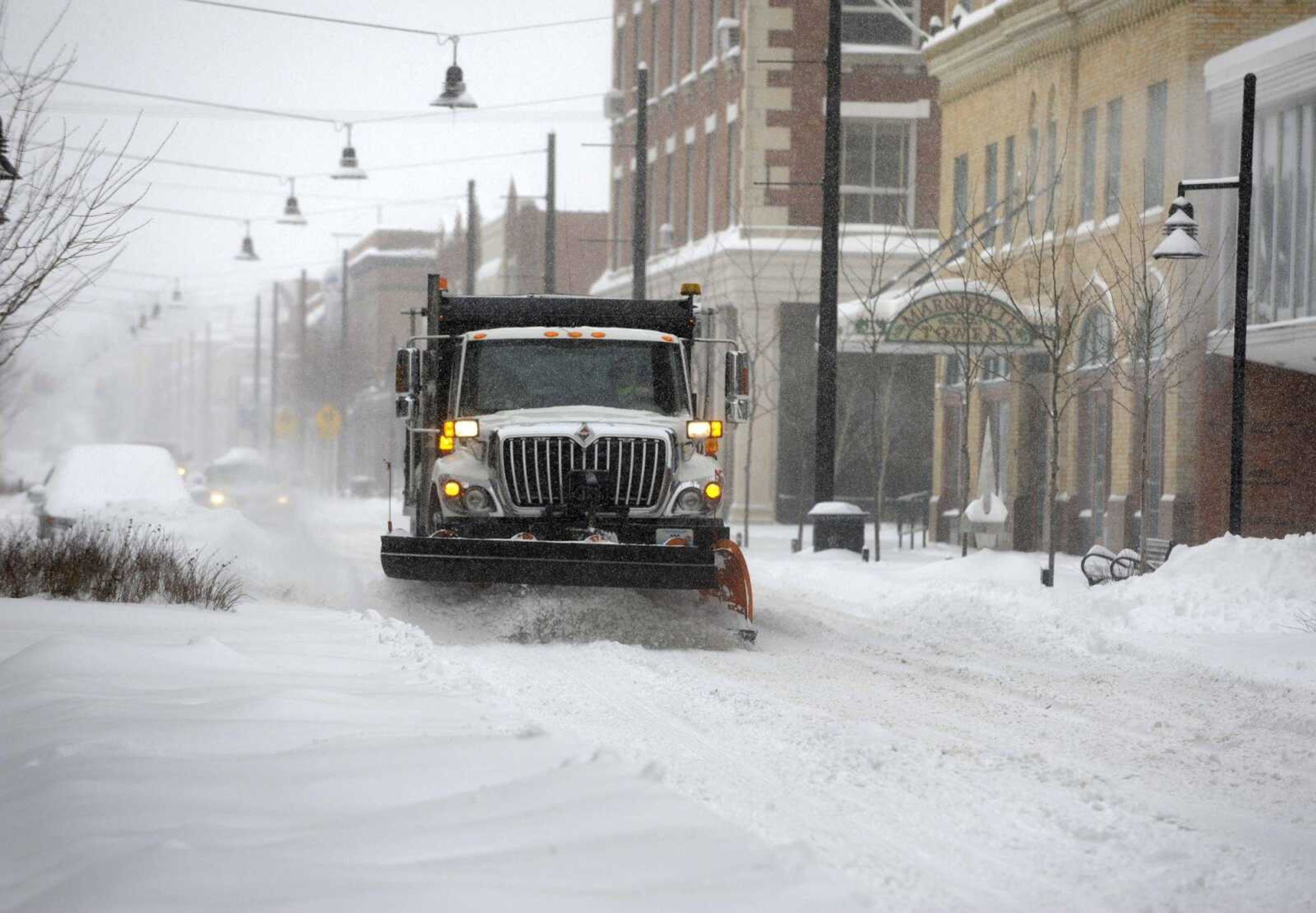
"We currently have all of our trucks out, so they're evenly working in all parts of the city at the same time," he said.
Reed Jensen, a student at Southeast Missouri State University, said Monday he'd been braving the weather since 6:45 a.m.
"The roads were fairly bad this morning, I've been both in and out of town, and the roads were bad enough that we went into a ditch on one of the back roads," he said.
Jensen was driving a 2001 Jeep Wrangler and was able to escape the snowdrifts.
Southeast canceled classes Monday and today.
The Jackson Public Works Department posted on its Facebook page about 4 p.m. Monday about snow removal efforts.
"In response to heavy snow in the area, city personnel are concentrating snow removal efforts on arterial and collector streets to provide emergency responders access to all neighborhoods and areas in city limits," it said.
Christine Wielgos of the National Weather Service said the snowfall Monday should be all the area sees for the rest of the week.
A low of 8 degrees is forecast Tuesday night into Wednesday. During the day Wednesday, Wielgos said temperatures should be around 30 degrees.
On Wednesday night, the low is expected to be minus 4 degrees, with a high of 17 on Thursday.
Wielgos said much of the snow should melt Saturday, when the temperature could reach 39 degrees.
All city facilities were expected to be open during their regular business hours Tuesday, according to the City of Cape Girardeau's Twitter page.
smaue@semissourian.com
388-3644
Connect with the Southeast Missourian Newsroom:
For corrections to this story or other insights for the editor, click here. To submit a letter to the editor, click here. To learn about the Southeast Missourian’s AI Policy, click here.

