NewsApril 12, 2005

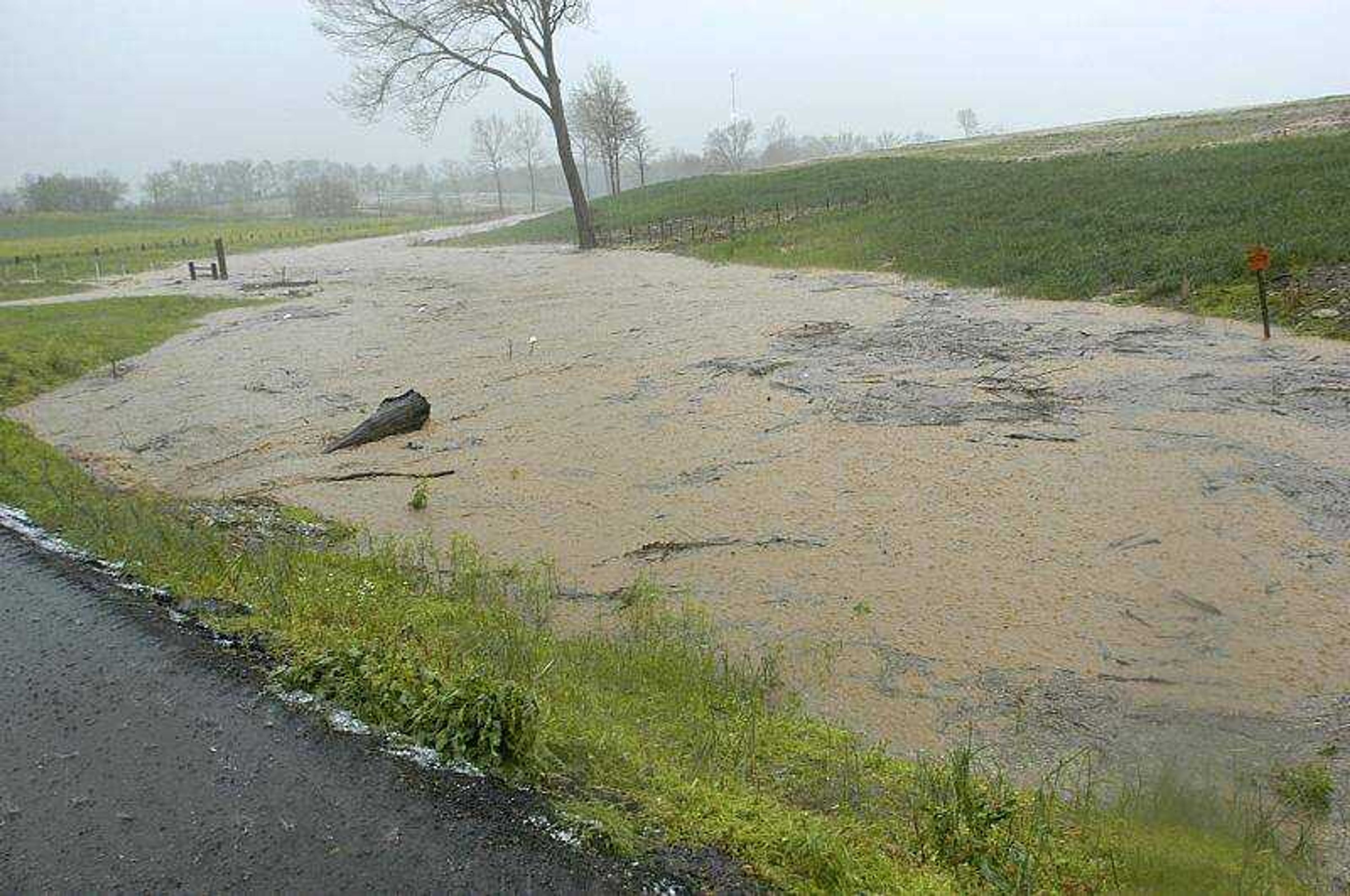
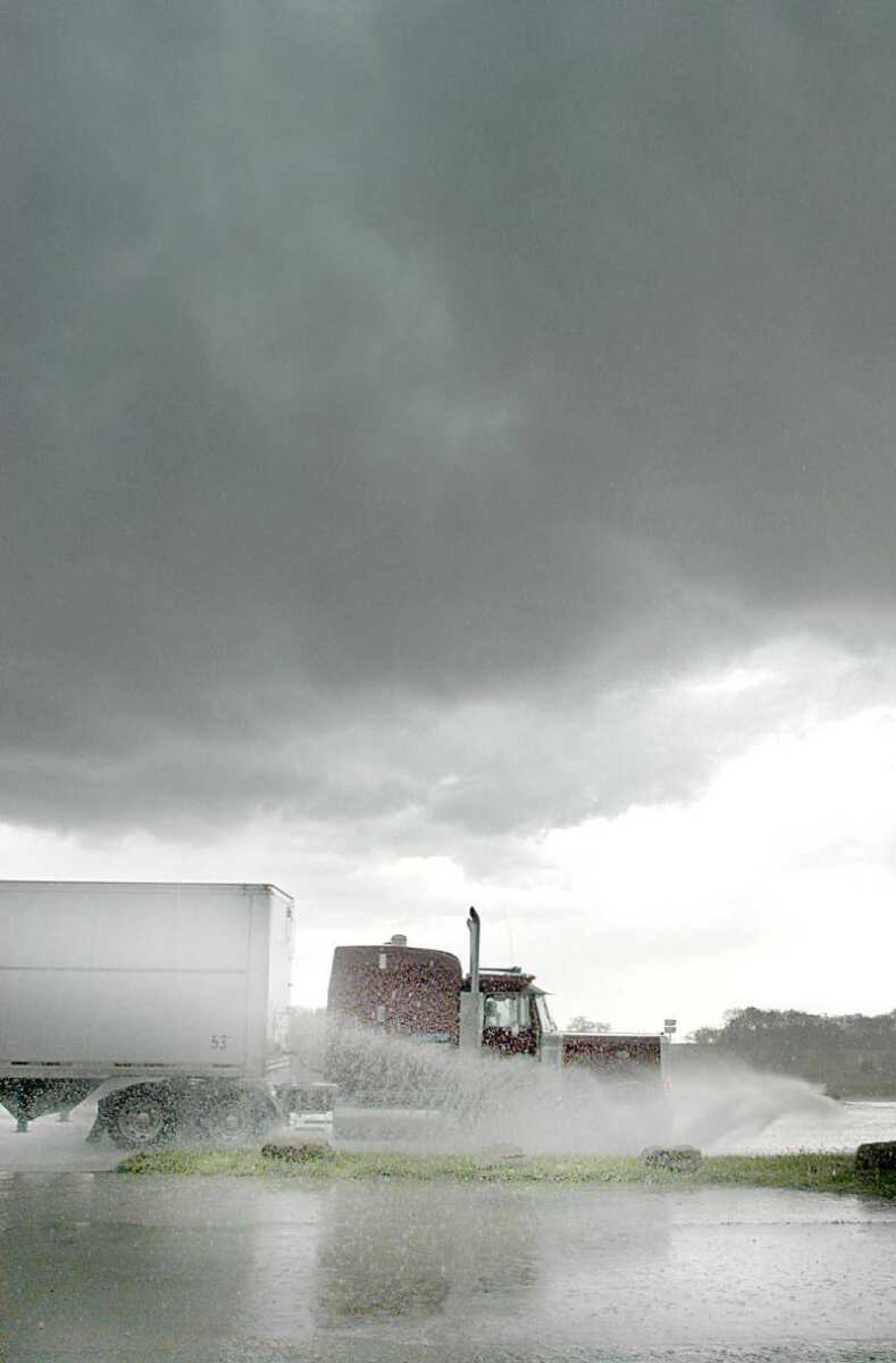
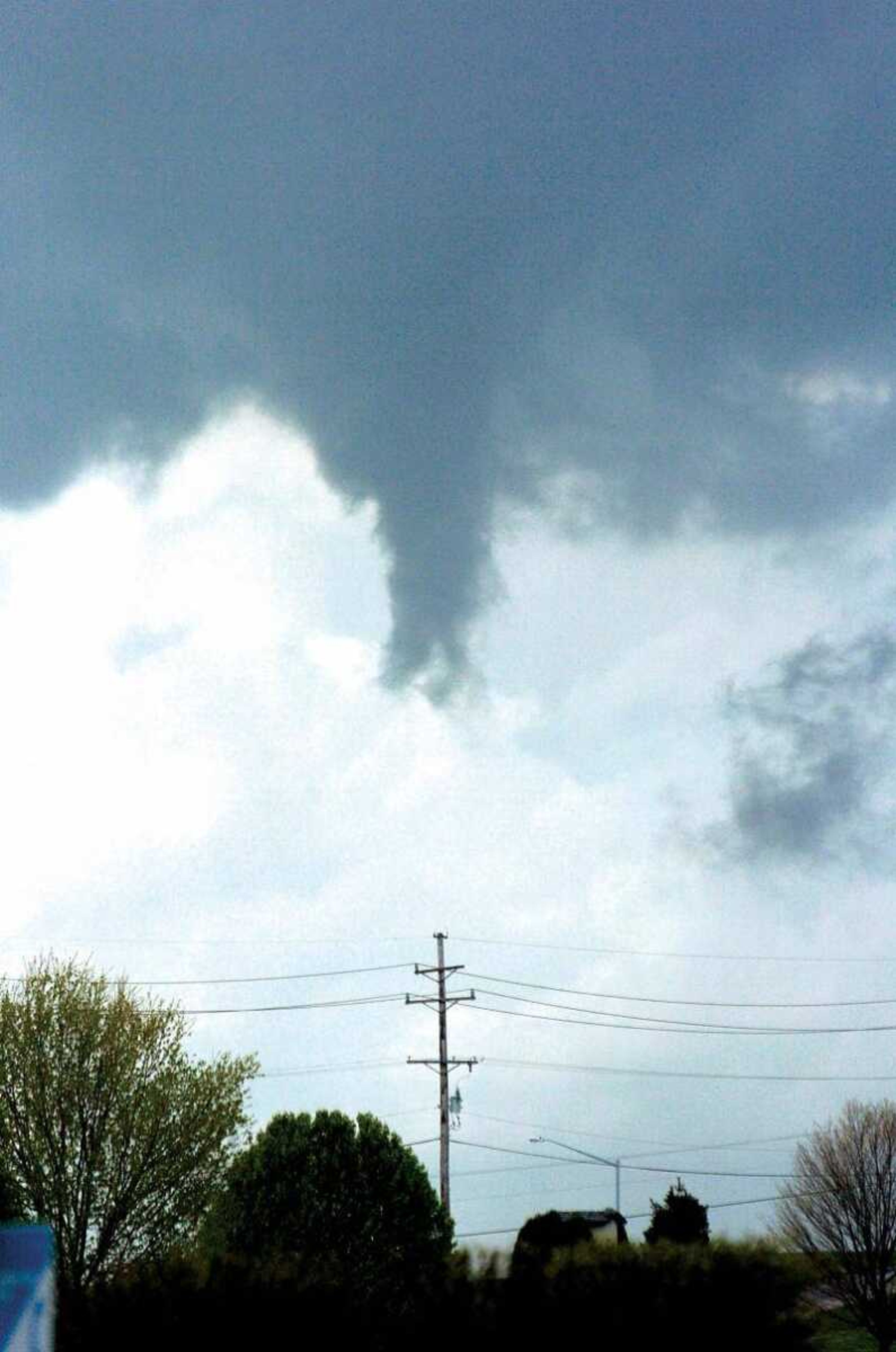
The weather turned ugly in a hurry over portions of Cape Girardeau County as a slow-moving storm produced funnel clouds, large hail, and flash flooding during the afternoon of Tuesday, April 12, 2005.

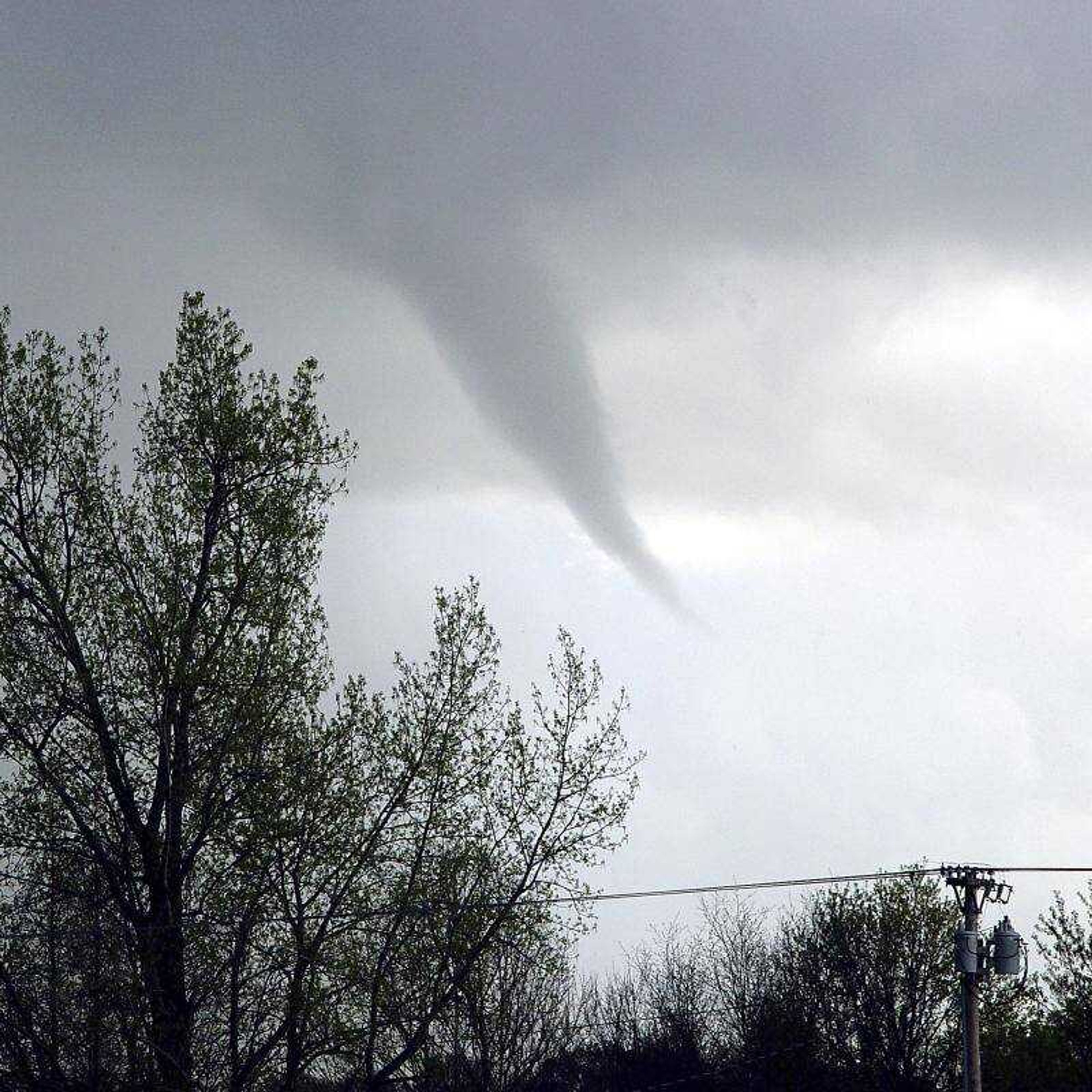
Billy H. Garner shot this picture of a funnel cloud from his house on County Road 318. "It is looking west, and would probably be about a mile north of Gordonville," he said.
Hubble Creak rushed through a backyard off Highway 61 in Jackson near Route Y.
Water rushed under an outer road near the Fruitland interchange.
Storm clouds hovered over Highway 61 in Jackson.
These ducks at Capaha Park checked out the new water left by the first downpour Tuesday.  Heavier rain followed later.
These ducks at Capaha Park checked out the new water left by the first downpour Tuesday. Heavier rain followed later.
Dennis Turner captured this photo of a funnel cloud as seen from Jackson City Park.
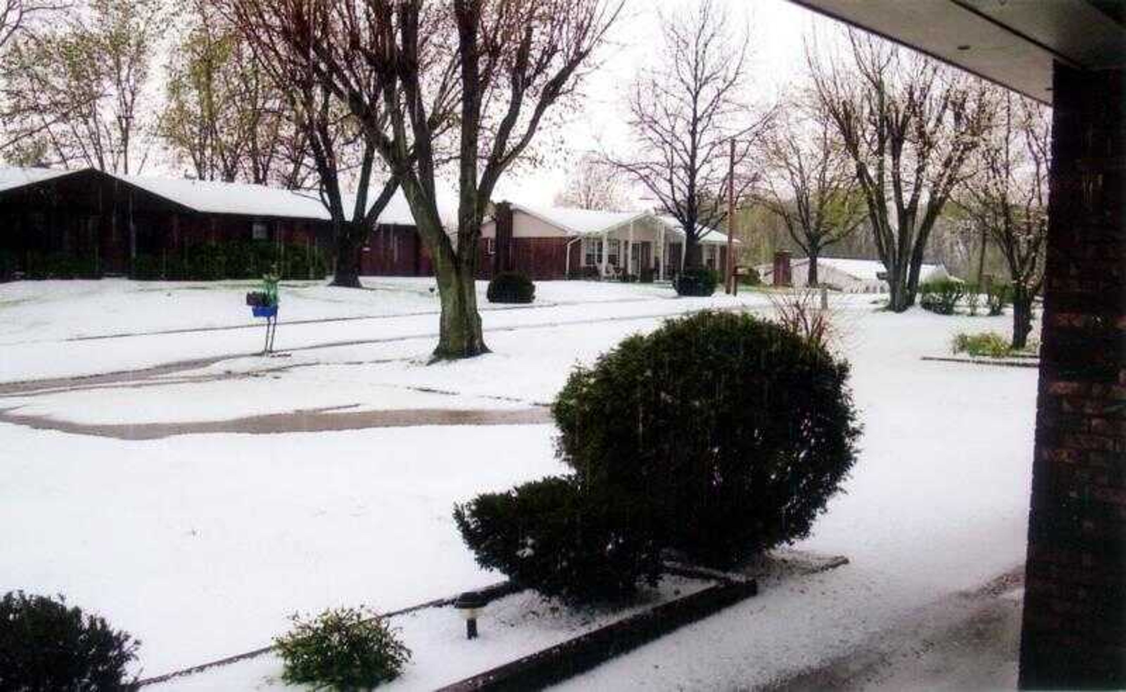
Sharon Pinkerton took these pictures of hail at the Jackson home of her daughter, Sandy Penzel, Tuesday afternoon. At the back patio, hail had drifted up against the house.
story image illustation
Jack and Janene Givens submitted this photo of the hail accumulation in front of their home on Shalom Street in Jackson.  "We had a river running across our driveway, down the street.  I've never seen anything like it in my life."
Jack and Janene Givens submitted this photo of the hail accumulation in front of their home on Shalom Street in Jackson. "We had a river running across our driveway, down the street. I've never seen anything like it in my life."
A clearly formed funnel cloud was seen hovering above the Bent Creek area of Jackson at 1:34:01 PM.
At 1:34:24 PM the cloud was shrinking rapidly.
By 1:34:54 PM the cloud had almost dissipated.
Hail accumulated on the side of Highway 55 near the Fruitland exit.
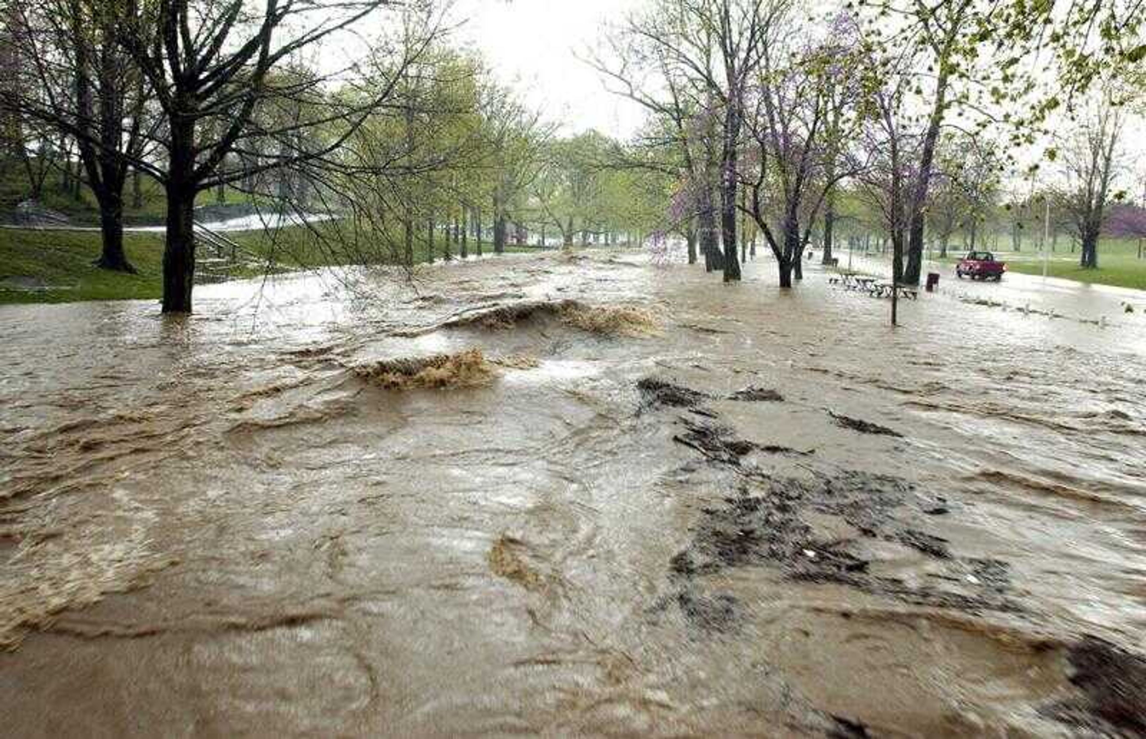
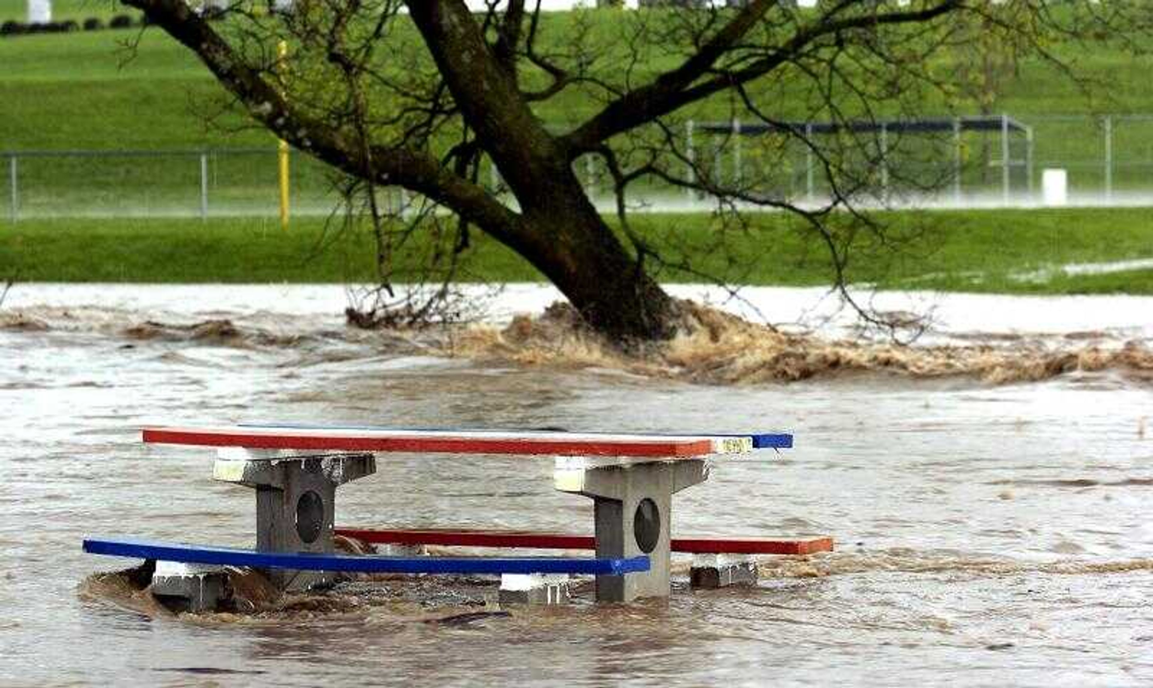
Water rushed around the trees in Jackson City Park.
Storm water in Hubble Creek raced past a lone pickup truck, right, attempting to make its way through Jackson's City Park.
Storm water rushed under the pedestrian bridge in Jackson City Park.
Unable to contain all of the runoff, a swollen Hubble Creek raced past the outdoor dinning area of Wib's Drive In.
Receive Daily Headlines FREESign up today!
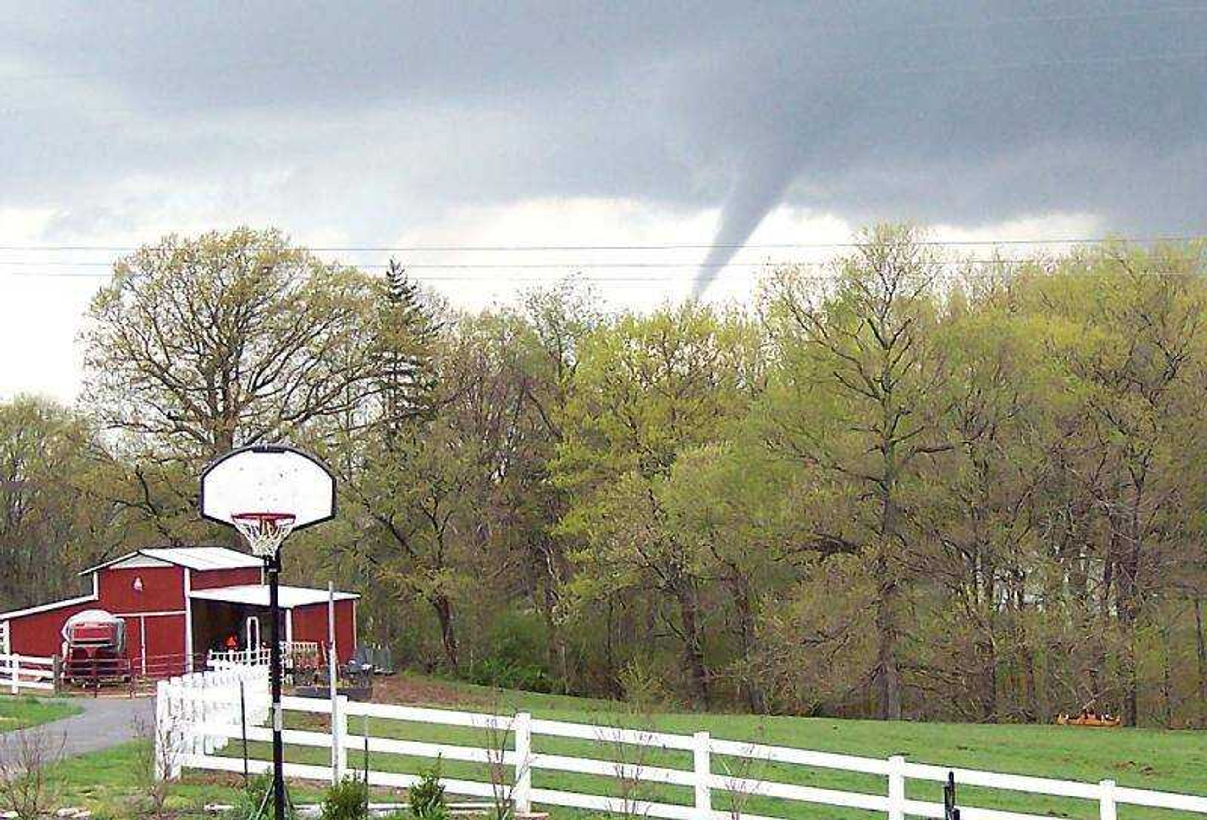
The weather turned ugly in a hurry over portions of Cape Girardeau County as a slow-moving storm produced funnel clouds, large hail, and flash flooding during the afternoon of Tuesday, April 12, 2005.

Story Tags

Connect with the Southeast Missourian Newsroom:

For corrections to this story or other insights for the editor, click here. To submit a letter to the editor, click here. To learn about the Southeast Missourian’s AI Policy, click here.

Advertisement
Receive Daily Headlines FREESign up today!