Utilities spend millions to fight issue of sinking Missouri River
KANSAS CITY, Mo. -- The Missouri River is sinking. And as engineers try to figure out why, the dropping river bed could eventually threaten billions of dollars in property development, the stability of levees and bridges and make boat travel more difficult by exposing navigation hazards. It's already cost Kansas City millions to ensure water for a half-million customers...
KANSAS CITY, Mo. -- The Missouri River is sinking.
And as engineers try to figure out why, the dropping river bed could eventually threaten billions of dollars in property development, the stability of levees and bridges and make boat travel more difficult by exposing navigation hazards. It's already cost Kansas City millions to ensure water for a half-million customers.
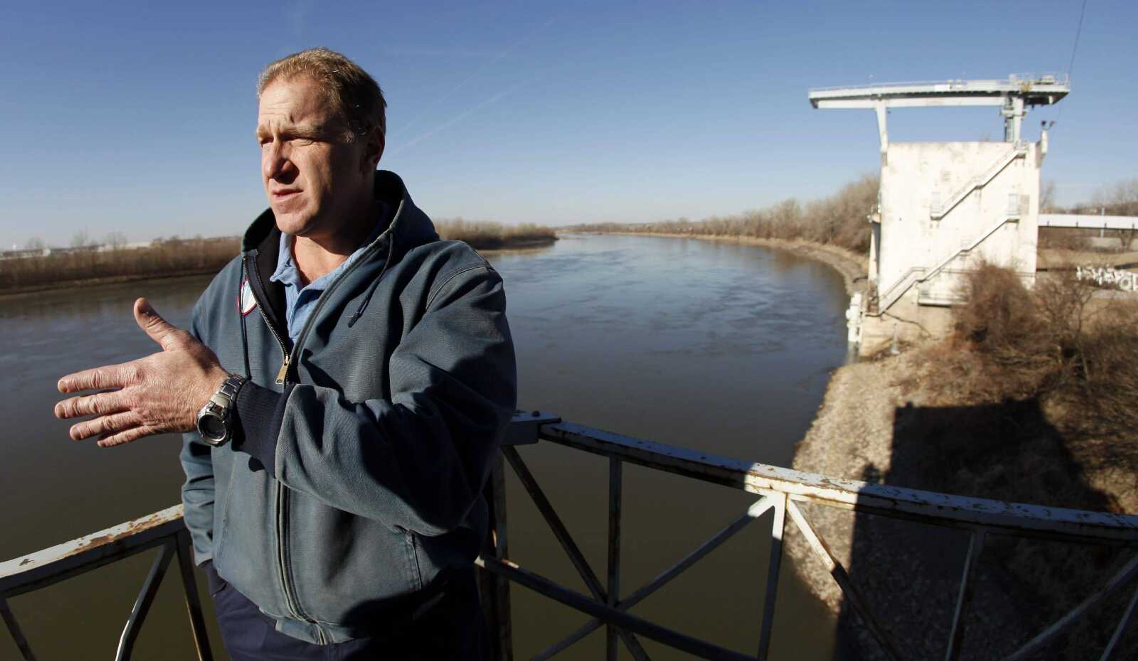
The problem is this: The Missouri River, in stretches from Rulo, Neb., to St. Louis, is losing elevation. It's not affecting the amount of water in the channel, but the water is physically lower on the Earth because the river bottom is washing away. And as the river drops, it erodes stream banks and migrates up tributaries that flow into the main channel, causing similar problems there.
Why it's happening has been a puzzle to scientists, with possible natural and human causes.
Because the water depth isn't really changing, the situation is nearly imperceptible to someone looking at the river from shore. But for engineers, it's a costly headache.

"Part of the whole problem is it's not visible," said John Grothaus, chief of the planning section for the U.S. Army Corps of Engineers in Kansas City. The city has spent more than $4 million for pumps to reach lower river levels. "It's not in the public eye, you can't see it on the river."
The cost for reversing the degradation -- and whether that's even possible -- is still unknown. But the ultimate risk is to public infrastructure.
Scientists believe several spots -- starting around the extreme southeastern Nebraska town of Rulo to the eastern Missouri community of Hermann -- are experiencing some river degradation. But they're focused most on Kansas City because of the potential effect there.
When the river bed drops, it exposes more of the pylons holding up bridges. That decreases the support the foundation gets from being buried in the ground. Left untended, that can increase the risk for failures.
"You have to look if that were allowed to continue, what could be the problem that could occur," said Christina Ostrander, the corps' project manager. "Right now you don't have a bridge that is in danger of failing, but if you were looking over the long haul, some kind of mitigation now could" be necessary.
Also at risk are levees, such as those separating the Missouri River from an estimated $20 billion in developments, including Kansas City's downtown airport, a General Motors plant and the entire suburb of North Kansas City.
Federal data show that in the most problematic areas, in Kansas City about 366 miles from where the Missouri River pours into the Mississippi River, the steam bed has dropped by about 12 feet over the last 50 years.
Since at least the 1920s there has been a gradual decline in the Missouri River's elevation, but the drop has been precipitous over the last decade. The start of the most rapid decline seems to be the 1993 flood, which took several feet out of the river. And through the middle part of the 2000s, data show the average annual elevation fell by nearly a foot per year.
Compounding the problem has been a drought over much of that time that has lowered river levels.
That's what concerns the dredgers, the most frequent river travelers. Missouri's six dredging companies can scoop up about 7 million tons annually of sand and gravel used to make concrete, build roads and improve winter traction. The dredgers are sensitive about getting blamed for the degradation and are helping to fund an environmental impact study of their work.
Attorney David Shorr said the dredgers he represents see sediment filling the holes they dig within about a month. Shorr, who works in Jefferson City, Mo., said the Corps' river engineering projects are designed to cut down the river bottom.
"The Corps is charged with the responsibility to create a navigation channel by Congress, they did that and did it well," Shorr said. "It's a self-scouring system that continues to clear and cut the bottom of the river. They did their job too good if they're claiming bed degradation along the river."
It's unclear exactly why the Missouri River is sinking, though there are several possibilities:
- Less sediment. Dams trap silts and sands upstream, sending clearer water downstream that doesn't have as much material to replace what the river erodes. Tributaries also are carrying less material into the channel.
- Natural processes. A river erodes land and gradually eases bends, such as those that twist around Kansas City.
- Large floods that wash sand and soil out of the river.
- Commercial dredging.
- Human efforts to control the river. Wing dikes and engineering projects push water into channels and scrape the bottom to maintain lanes for barges. Levees and dikes also have confined the river's natural flow.
The Corps is betting that a preliminary study of the lower river's degraded areas will bring more clarity. The study's initial draft, to be completed this month, is to improve the scientific data, illustrate the extent of the problem and come up with possible solutions.
Even without hard data, the practical effects are becoming clear.
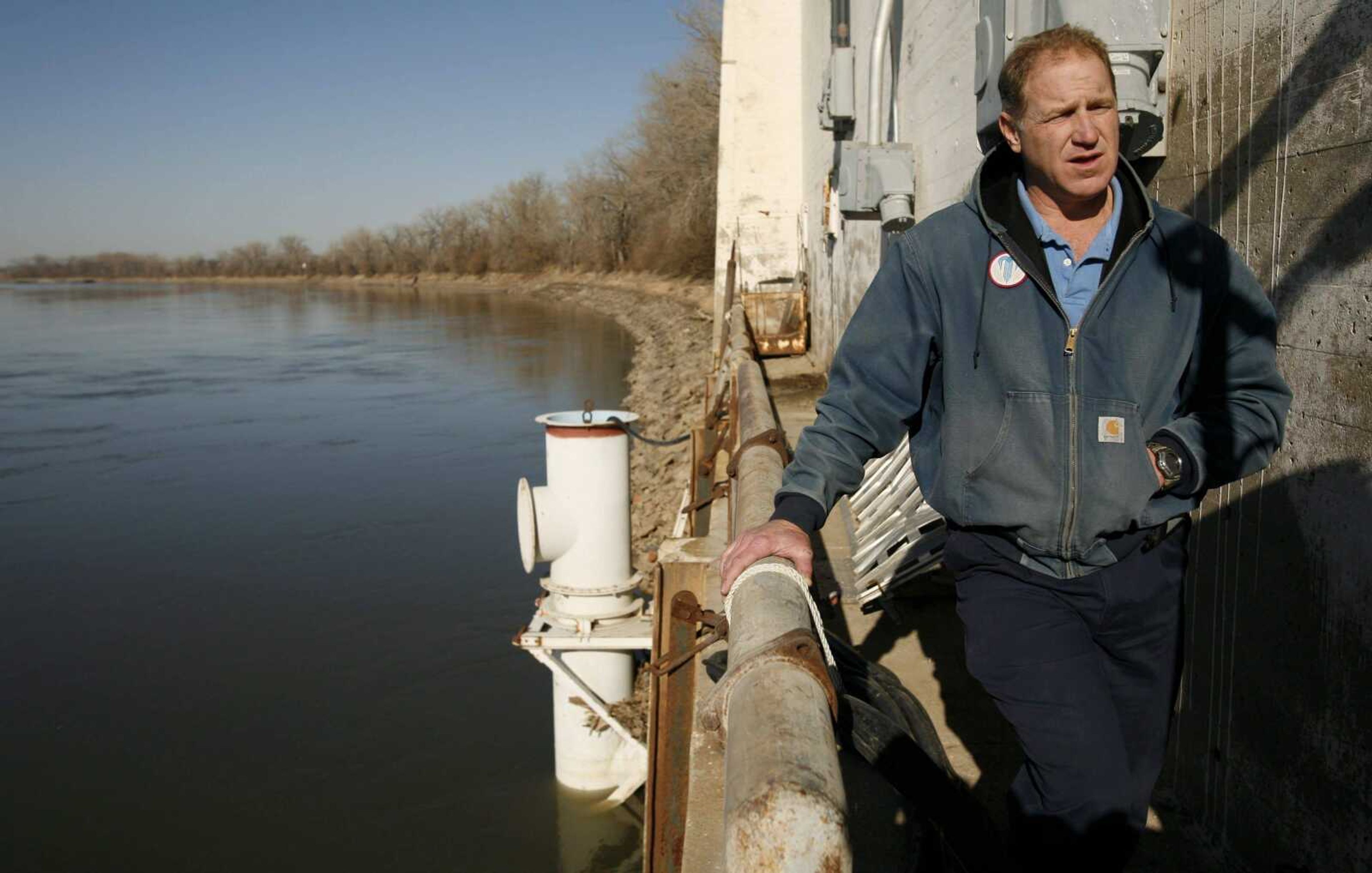
For Kansas City, at ground zero, it's meant $4 million and counting to improve the river intake used by the Water Services Department for drinking water.
The utility purchased four auxiliary pumps that can be attached just offshore to the utility's intake. The pumps, weighing several tons, can reach a few feet lower to suck water through 3 1/2-foot openings and keep the necessary 100 million gallons moving through the Kansas City area to meet the average daily water demand.
And the department is looking for alternatives to the infrequently used pumps. Mike Klender, the utility's assistant manager for operations, said the city is examining the next step: a horizontal collector well.
The well would let Kansas City tap the Missouri River without relying on the water levels in the channel by using the liquefied sands under the ground.
"It's a proactive stance the department needs to look at to make sure that we do not fail our mission of providing reliable water," Klender said.
Kansas City is not alone in wondering how low the Missouri River will go.
There are anecdotal reports of degradation west of St. Louis in Hermann. And in mid-Missouri, the water utility for Jefferson City has applied for a permit to lower its intake pipes, partly because of the dropping river.
Kansas officials, meanwhile, have attributed a similar phenomena on the Kansas River partially to degradation on the Missouri. The corps estimates degradation on the Kansas River could extend upstream for several miles.
In Parkville, Mo. -- a bedroom community north of Kansas City -- a creek was degrading upstream from where it hit the Missouri River. The degradation on Rush Creek caused the stream banks to erode and collapse, and threatened nearby baseball fields and two bridges, including one more than a century old.
The town in 2007 had to spend the equivalent of about half its current budget for parks, streets, public works and sewer to stabilize steep banks and terrace the bottom.
Now, Parkville Public Works Director Dan Koch said, the park is safe and the most popular in Platte County with trails and a clear view of the Missouri River.
Connect with the Southeast Missourian Newsroom:
For corrections to this story or other insights for the editor, click here. To submit a letter to the editor, click here. To learn about the Southeast Missourian’s AI Policy, click here.


