Weird weather sets record high for Feb. 2, follows 5th warmest January
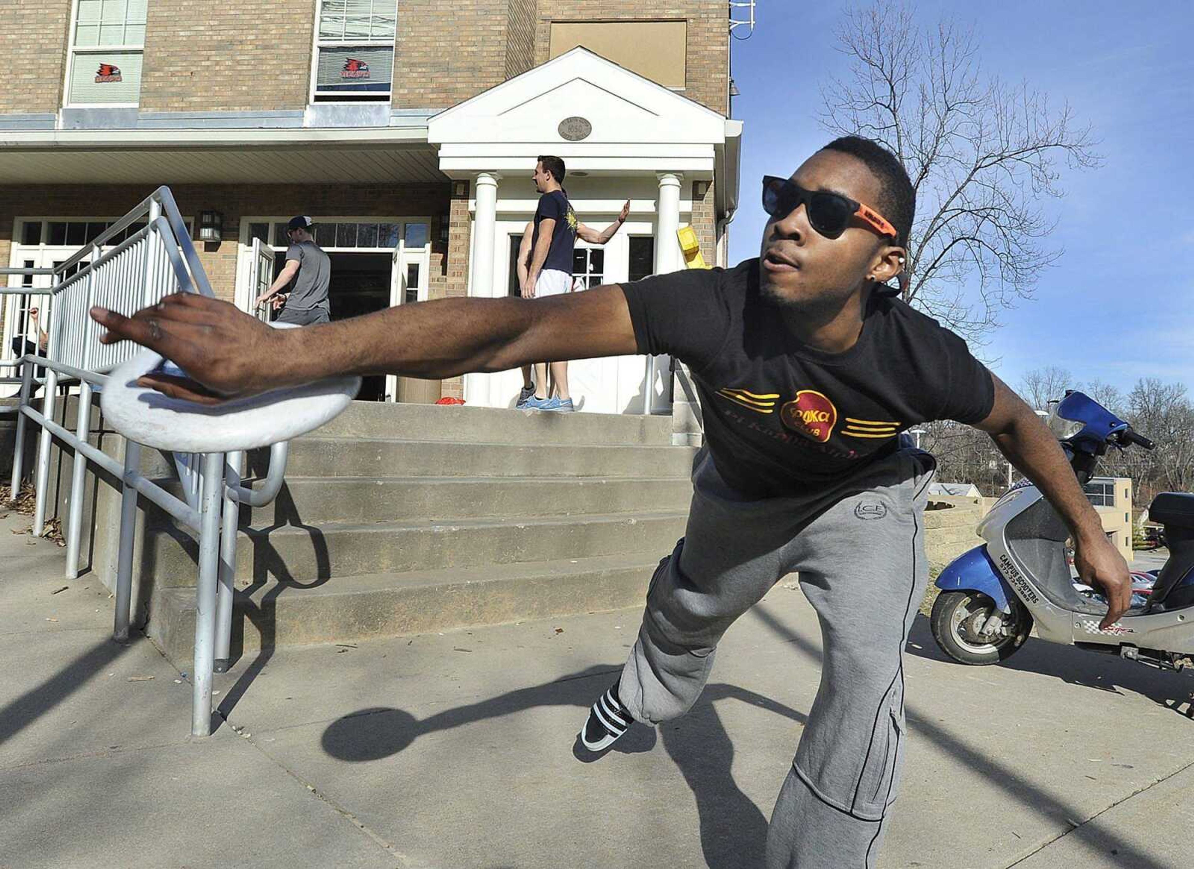
In the Tot Lot, more than a few children horsed around in short sleeves. Families strolled around the lagoon. A laughing toddler -- sans coat -- chased after a disinterested dog.
In the Tot Lot, more than a few children horsed around in short sleeves. Families strolled around the lagoon. A laughing toddler -- sans coat -- chased after a disinterested dog.
A typical spring day at Capaha Park. Except it was February.
The temperature hit 65 degrees in Cape Girardeau on Thursday, setting a record high for Feb. 2, according to the National Weather Service at Paducah, Ky. The service, which has tracked temperatures locally since 1960, said Thursday's temperature broke the record high of 62 degrees, which happened previously on Feb. 2 in 1964 and 1974.
"This is great," said Jason Mulholland, who was at the park with his wife and two young sons. "You could almost have shorts on. If I was out running, I would have shorts on."
February's milder-than-usual start follows the fifth-warmest January in Cape Girardeau on record, weird weather that has caused the 17th warmest January in Washington, D.C., the third-warmest in Phoenix and the 13th warmest in Ann Arbor, Mich.
According to meteorologist Mike York, the average Cape Girardeau temperature in January was 39.2 degrees, more than five degrees higher than the overall average of 32.7. But temperatures shot above 50 degrees 15 times last month and above 40 nearly two dozen times -- including the last 10 days of the month. The lowest high mark for January was 33, which happened on the 13th, the 18th and the 21st.
The warmest January on record was in 1990, when the average daily high was 43 degrees.
The main culprit -- or hero, depending on perspective -- is something called the North Atlantic Oscillation, York said, which is a pressure pattern that is basically "bottling up" the cold air in the Arctic.
"This winter it's causing exceptionally cold air even for the Arctic," he said. "It's basically keeping the cold air there."
Over the past two years, that weather phenomenon had the opposite effect, with help from the jet stream, blasting the cold air to the U.S. instead of keeping it away. Last January was the 17th coldest in Cape Girardeau, with an average temperature of 31 degrees, York said.
Kelly Hooper, York's fellow meteorologist in Paducah, agreed that it's not normal.
"But it's not unheard of, either," he said. "Unusual? Yes. But it's happened before."
The forecast over the next several days calls for a cool-down, Hooper said, though the temperatures will still be higher than normal. A storm system is expected to enter the area today and into the evening, he said. The temperatures Friday will still reach near 60 with a low of about 50, he said, as the storms move through.
The temperatures will hover around 60 on Saturday, he said, and drop to a low of about 35 that night. Monday's highs are expected to hit about 50 with a low of 32, Hooper said.
While most people are enjoying the warm weather, experts point out it may have negative effects on plants. The warmer weather is causing plants and trees to bloom early, in some cases months ahead of schedule, said Donna Aufdenberg, a horticulture specialist for the University of Missouri Extension in Jackson.
"It will harm them, if we keep having these warm days," she said.
She is especially concerned, she said, about whether flowering or fruit trees will be able to bounce back if -- more likely when -- the temperatures again dip below freezing.
"Some of them need chilling time," she said. "We easily could have a spring freeze, which could cause problems or even for the plants to die. It's been way too warm. They're not as dormant as they should be. ... It's just scary."
Some, like Mulholland, worried about what the warm weather now will mean for the rest of the winter.
"I just hope Mother Nature doesn't make us pay for this," he said.
smoyers@semissourian.com
388-3642
Pertinent address:
Capaha Park, Cape Girardeau, MO
Connect with the Southeast Missourian Newsroom:
For corrections to this story or other insights for the editor, click here. To submit a letter to the editor, click here. To learn about the Southeast Missourian’s AI Policy, click here.


