
NewsNovember 21, 2014
Winter temperatures expected to be slightly below normal
Temperatures in Southeast Missouri are expected to be slightly below normal this winter season, said Sean Poulos of the National Weather Service office in Paducah, Kentucky. Meteorologically speaking, winter is defined as Dec. 1 through the end of February. Cape Girardeau doesn't have an official weather watcher, but Poulos said normal snowfall in Paducah is about 9.5 inches a year. Based on that, it's about 12 inches in Cape Girardeau...
Temperatures in Southeast Missouri are expected to be slightly below normal this winter season, said Sean Poulos of the National Weather Service office in Paducah, Kentucky.
Meteorologically speaking, winter is defined as Dec. 1 through the end of February. Cape Girardeau doesn't have an official weather watcher, but Poulos said normal snowfall in Paducah is about 9.5 inches a year. Based on that, it's about 12 inches in Cape Girardeau.
"It's hard to tell this far out regarding if we're going to be below or above average for snowfall," Poulos said. "It's hard to fathom it being as bad as last year."
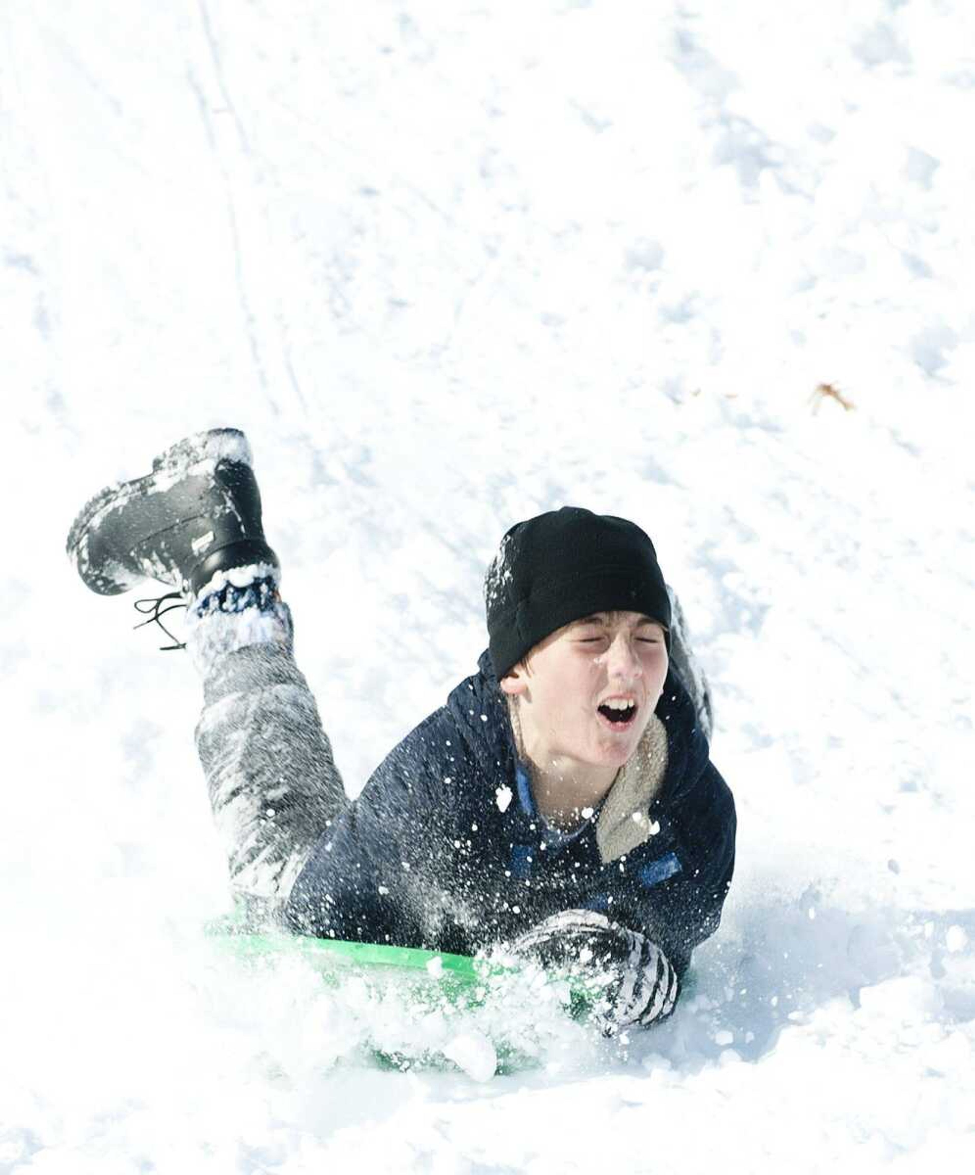
Forecasting weather in Southeast Missouri is iffy at best, and for this winter, predictions are all over the map -- ranging from mild to severe, depending on what you're reading or listening to, or which old wives' tale rings true.
The National Oceanic and Atmospheric Administration recently issued a winter weather outlook for the U.S. for December through February showing slightly below normal precipitation, which would be all forms of rain, snow and "everything in between," Poulos said.
NOAA's outlook favors above-average precipitation across the nation's southern tier, from the southern half of California, across the Southwest, South-central and Gulf Coast states, Florida and along the eastern seaboard to Maine.
Above-average precipitation also is predicted in southern Alaska and the Alaskan panhandle, with below-average precipitation in Hawaii, the Pacific Northwest and the Midwest, the site says.
If the old wives' tales are correct, Jackson High School teacher and avid weather watcher Bob Clubbs said it will be a "seriously cold and snowy winter." But he says scientific approaches can point to the same things as persimmons and woolly worms.
"Around here, it's best not to get too caught up and carried away on forecasting more than about 10 days out," Clubbs wrote.
Many of Clubbs' Facebook followers have sent him persimmon seed photos whose shape is said to predict the kind of winter that's coming.
"Almost all persimmon seeds in our area have been spoon-shaped this year," Clubbs said in an email. "Spoons indicate that we will need to 'scoop' lots of heavy, wet snow. Other possible shapes include forks (powdery, light snow) and knives (cutting, bitter cold and wind). So, according to the persimmons, we can expect a lot of snow."
Predictions also can be made based on woolly worms, a type of furry caterpillar, and their color patterns.
But Clubbs said "the jury is out on that one."
"Folks have spotted all kinds of woolly worms: black, striped, and white. The legend is that the more reddish-brown there is on the worm, the milder the winter. More black means a harsher winter. Lots of folks have been reporting mostly black woolly worms," Clubbs said.
Looking at the area's recent cold snap, Clubbs said, it was the result of a Pacific typhoon.
"A very strong hurricane-like storm hit Alaska and basically dislodged a lot of arctic air. Imagine that you squeeze a balloon at one end and all of that air bulges the balloon at the other end. The typhoon pushed that air out of the arctic and it bulged out over the U.S. This had us stuck in a cold pattern for a long time," he wrote.
Receive Daily Headlines FREESign up today!
"We are moving out of that pattern and are headed back into the good old roller coaster of temperatures that we are accustomed to in our area," he added.
Janice Stillman, editor of the Old Farmer's Almanac in Dublin, New Hampshire, said the publication is predicting frigid temperatures for much of the country east of the Rockies and for Missouri and the Cape Girardeau region. Traditionally, Stillman said, the almanac's predictions are 80 percent accurate. Last year, it's temperature projections differed from actual conditions by less than 2 degrees.
It uses solar science, climatology and meteorology as part of its predictions. The lower the sunspot activity, Stillman said, the colder it tends to be.
"This is one of the lowest activity cycles in more than 100 years," she said.
One mitigating factor is greenhouse gasses, which could influence what might otherwise be a more predictable solar pattern.
rcampbell@semissourian.com
388-3639
Pertinent address: https://www.facebook.com/weatherclubbs
http://www.noaanews.noaa.gov/stories2014/20141016_winteroutlook.html
---
Average winter temperatures
December 36.6 degrees
January 32.7 degrees
February 37.3 degrees
Winter Solstice Dec. 21. That*'s when the sun is farthest south of the equator, so we have the least amount of daylight, said Sean Poulos, a meteorologist with the National Weather Service in Paducah, Kentucky.
Story Tags
Advertisement
Related
Connect with the Southeast Missourian Newsroom:
For corrections to this story or other insights for the editor, click here. To submit a letter to the editor, click here. To learn about the Southeast Missourian’s AI Policy, click here.
Related


Advertisement
Receive Daily Headlines FREESign up today!
