NewsJanuary 6, 2010
Bitter cold, snow in the forecast for Southeast Missouri, Southern Illinois
Emergency officials are stressing preparedness ahead of a winter storm that could dump up to four inches of snow, and possibly more in isolated areas, tonight and Thursday morning.

Emergency officials are stressing preparedness ahead of a winter storm that could dump up to four inches of snow, and possibly more in isolated areas, tonight and Thursday morning.
"The good news is no ice or slushy snow," said Jayson Wilson, a meteorologist with the National Weather Service in Paducah, Ky. "But the concern is it will be bitterly cold and very windy, making for a possibility of blowing snow with low visibility at times.
"The cold we're dealing with now is nothing compared to what it will be when it's all said and done," Wilson said. "Wind chills will be well below zero, making it extremely cold. If you don't have to go out Thursday, stay home."
If the temperature fails to climb above 32 degrees as expected, today will mark the sixth consecutive day Cape Girardeau hasn't passed the freezing mark but would fall short of the record of 18 straight days set in 2001. The next day the temperature is forecast to reach above freezing is Monday; if that happens, this stretch of days below freezing in Cape Girardeau would tie for fourth-longest.
The potentially dangerous conditions have prompted the weather service to issue a winter storm watch, effective from tonight through 6 p.m. Thursday. Affected areas include Bollinger, Cape Girardeau, Perry, Scott and Stoddard counties in Southeast Missouri and Alexander and Union counties in Southern Illinois. A winter storm watch means a potential exists for significant ice, sleet or snow accumulations that could affect travel.
Cape Girardeau County Emergency Management Agency director Dick Knaup said in addition to having a three-day supply of food and water, people should make sure pipes exposed to the outdoor elements are properly insulated using fiberglass insulation. Many hardware stores sell insulation.
Knaup cautioned against using a generator indoors if the power fails.
"By using one inside, it releases carbon monoxide that can be fatal," Knaup said.
When traveling outside, Knaup said, motorists should carry a fully charged cellular phone and have food, clothing, flashlight, blankets and batteries on hand.
If the vehicle becomes trapped in the snow, Knaup said, motorists should place a help sign on the car or attach a bright-colored piece of material on the antenna to alert law enforcement or emergency personnel of the need for assistance.
"If your car engine is still able to run, crack the window so you won't suffocate yourself," Knaup said. "The snow can build up and the only place for the carbon monoxide to escape is through the passenger's compartment.
"Also, if more than one person is in the car, one of you should remain awake at all times," Knaup said. "That way, if one person gets real sleepy, the other individual will be able to stay awake if help arrives."
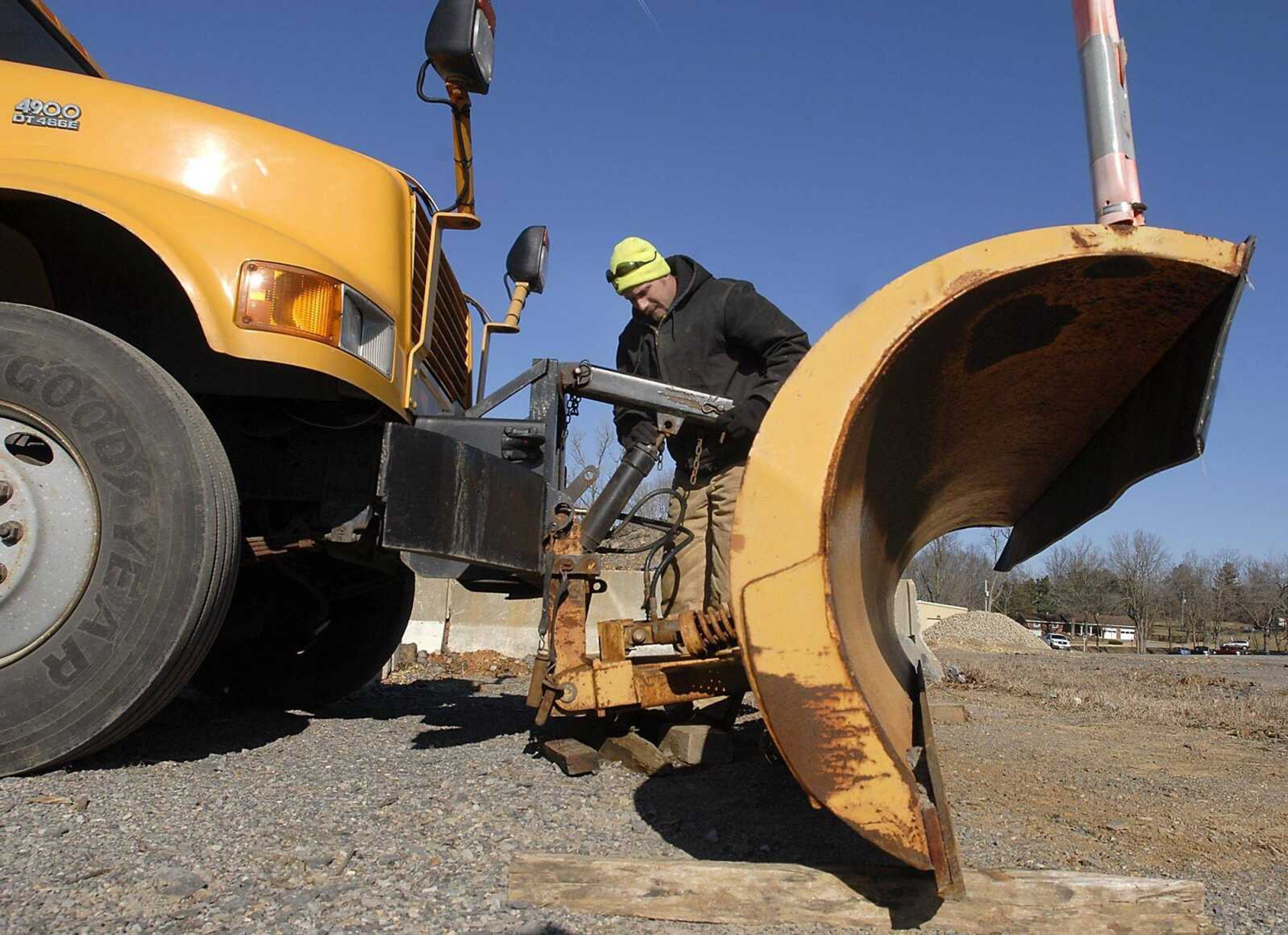
Emergency crews from the Missouri Department of Transportation, Cape Girardeau, Cape Girardeau County and Jackson said they have equipment ready when streets are in need of treatment and plans of action in place.
"The first day we'll try to get to the roads where most people live," said Scott Bechtold, Cape Girardeau County highway administrator. "If it doesn't keep snowing by Friday, we should have most of the roads in decent shape."
Jackson street superintendent Steve Hendrix said equipment has been ready since he learned last week that the area might get snow.
"All of the trucks are in working order," Hendrix said. "We'll watch the forecast and go from there, depending on how much snow we get."
Receive Daily Headlines FREESign up today!
Tim Gramling, director of the public works department for Cape Girardeau, said crews will spread salt on trouble areas such as hills and bridges today. He said that will help his crews get a head start on getting streets cleared as the storm progresses.
"We have people that will watch weather," Gramling said. "... We'll have people around the clock until it clears."
bblackwell@semissourian.com
388-3628
Cape Girardeau's top five consecutive days of below freezing
No. 1 -- 18 days, ending Jan. 3, 2001
No. 2 -- 12 days, ending Jan. 11, 1968
No. 3 -- 11 days, ending Jan. 11, 1979
No. 4 -- 10 days, ending Dec. 31, 1983
No. 5 -- 8 days, ending Jan. 21, 1994
Cape Girardeau's last five significant recorded accumulating wintry precipitation
No. 1 -- 9 inches of snow, Dec. 21, 2004
No. 2 -- 5 inches of snow, sleet and ice, Jan. 27, 2009
No. 3 -- 2.5 inches of snow, sleet and ice, Jan. 26, 2009
No. 4 -- 2 inches of snow, Jan. 31, 2008
No. 4 -- 2 inches of snow, Dec. 22, 2004
SOURCES: National Weather Service, Southeast Missourian files
Story Tags
Connect with the Southeast Missourian Newsroom:
For corrections to this story or other insights for the editor, click here. To submit a letter to the editor, click here. To learn about the Southeast Missourian’s AI Policy, click here.
Related


Advertisement
Receive Daily Headlines FREESign up today!
