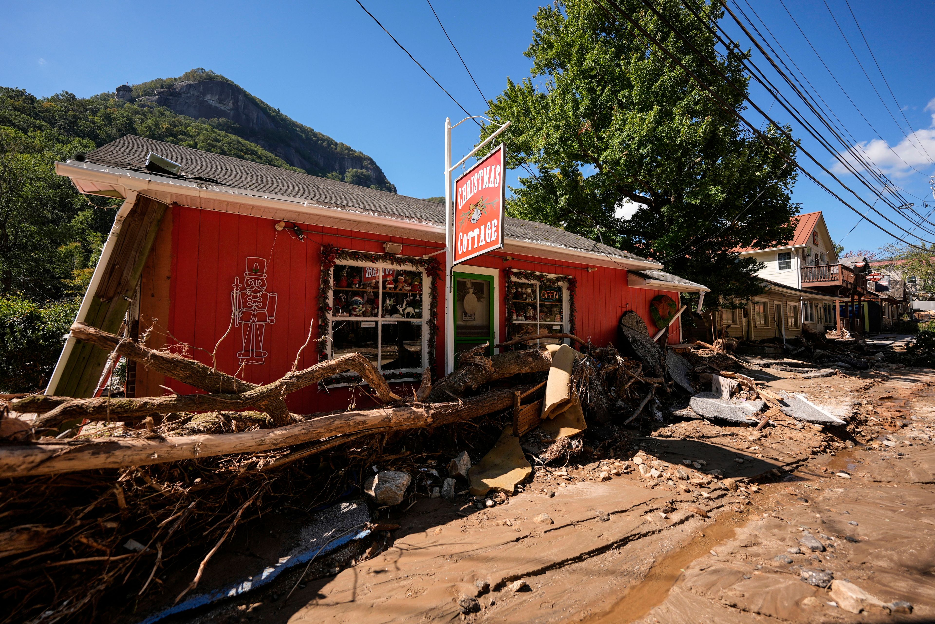
Flood damage at Wappapello between $20 million and $30 million
WAPPAPELLO LAKE, Mo. -- Officials estimate the Wappapello Lake project area sustained between $20 million and $30 million in damage as a result of record flooding in April and May. A separate cost of $1.5 million to $2 million is projected to repair a more than 300 foot section of Route T ripped away when waters topped the emergency spillway...
WAPPAPELLO LAKE, Mo. -- Officials estimate the Wappapello Lake project area sustained between $20 million and $30 million in damage as a result of record flooding in April and May.
A separate cost of $1.5 million to $2 million is projected to repair a more than 300 foot section of Route T ripped away when waters topped the emergency spillway.
Col. Thomas O'Hara, in charge of the U.S. Army Corps of Engineers St. Louis District, and representatives of the Missouri Department of Transportation provided the information Wednesday to Rep. Jo Ann Emerson, R-Cape Girardeau, during a tour of the damage.
The timeline to complete repairs is dependent upon funding, according to members of MoDOT and the corps. Both groups faced shrinking budgets and cutbacks before the flooding.
"When we figure out how to pay for it, that's the critical path," MoDOT Southeast District design engineer Barry Horst said of the road repairs.
The force of the water topping the emergency spillway destroyed a main transportation artery for the area, with an average 3,100 vehicles crossing Route T at the lake daily. Floodwaters left a pit scoured to the bedrock in it its place, 33 feet deep and 330 feet across in places. Facilities and campgrounds surrounding the lake also flooded, and many areas suffer from erosion.
Estimates have been calculated on what it would take to replace the road as it was, Horst said, create a low water crossing or construct a bridge.
"The bridge would be the most expensive ... and take the longest," he said.
Emerson questioned how long it would take to complete the study and concept stage for repairs to the road.
"If this were a normal project, it would be a couple of years. We're not looking for it to take that long," Horst said, adding they hope to begin work next year.
MoDOT believes it will have federal assistance in making repairs. Wayne County has been approved by the Federal Emergency Management Agency for public assistance following severe spring weather. FEMA representatives are expected to be at Wappapello in mid-July to assess the damage.
"We need this sooner rather than later, but in the most cost-effective way," Emerson said, adding she doesn't want to see a new road that would be destroyed in another flood event.
The project is being fast lined, O'Hara said.
"We are working with MoDOT and the engineers on the best option for transportation and engineering requirements," he said. "We want to make sure [the road] is back as soon as possible."
Public input will be collected before a decision is made, Horst said.
A bypass road through the old Blue Hole area opened less than two weeks after the flood. This was part of efforts to return to normal operations as quickly as possible and serve the unusually high number of visitors drawn in by what some workers have called Missouri's little grand canyon.
More than 5,000 people have come through the lake's Bill Emerson Memorial Visitors Center in the month and a half since the project reopened. The facility normally serves an average 3,000 people annually.
Emerson praised the corps for its quick response.
"The corps has done an excellent job," she said. "They've made great progress since I was here last. The beaches are ready. People are able to get here this weekend."
Ranger Willie's Wet 'N Wild Waterfest and the Fourth of July fireworks on Saturday will be the lake's first major event since the flooding.
Repairs are ongoing, said operations manager Cindy Jackson. No money has been added to the project's current fiscal year budget, which ends Oct. 31. Some services, such as how often areas are mowed, have been cut back to reallocate funds.
Some of the most immediate work includes grouting at the emergency spillway to prevent seepage the next time high waters reach the structure.
The corps also wants to replace the St. Francis River boat ramp below the dam. The next closest public boat ramp is at Fisk, Mo., Jackson said.
Work will be done to incorporate exact data from the new historic flood level into the water management plan, Jackson said. Changes to that plan could include altering when the dam begins a 10,000 cfs release, to prevent water in the lake from reaching flood levels so quickly.
Changes to operation procedures will also likely include plans to provide pumps for Greenville, Mo., which experienced flooding from this event.
How long it takes to fix everything has not been determined.
"It will come when the money comes," Jackson said. "We are having to live within the budget we were given."
Repairs are being prioritized and conducted with the help of volunteers. Some work, such as alignment of the Redman Recreation Road and main office road, are dependent on the decisions MoDOT makes for Route T.
An approximately 40 minute video of the historic flood event has been compiled from corps footage. It will be available soon for purchase, and the $10 copies can be reserved by contacting the visitor's center at 573-222-8773.
A shorter version of the video can be viewed now at the visitor's center.
O'Hara and Emerson took time Wednesday to film a public service announcement at the lake, asking everyone to remember to wear their life jackets while on the water.
Pertinent address:
Lake Wappapello, Williamsville, MO
Connect with the Southeast Missourian Newsroom:
For corrections to this story or other insights for the editor, click here. To submit a letter to the editor, click here. To learn about the Southeast Missourian’s AI Policy, click here.


