NewsJanuary 15, 2013
Going with the flow: Rain and removal of rock formations have kept river traffic moving
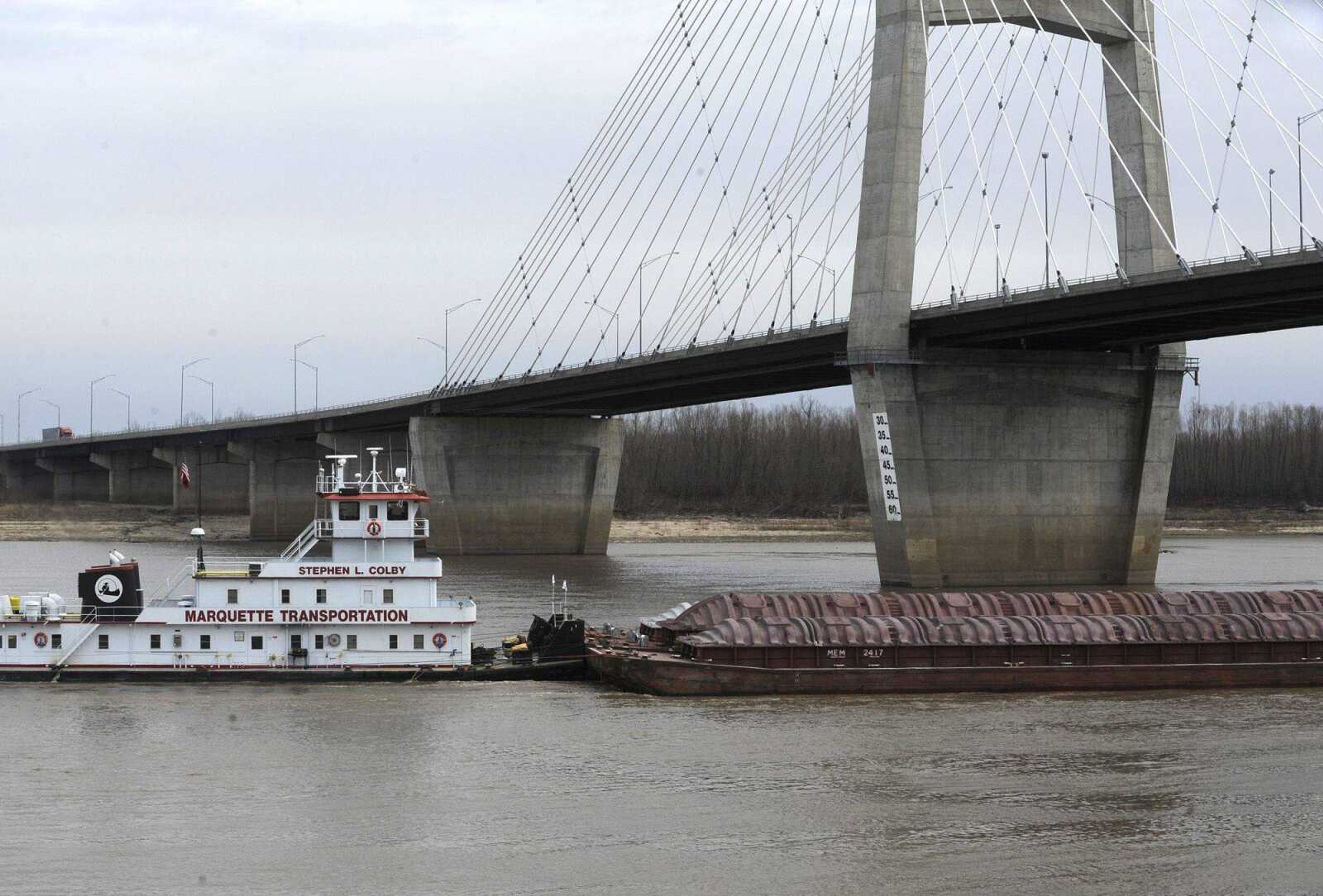
Rising river levels as a result of torrential rain and completion of the first phase of efforts to remove rock formations near Thebes, Ill., are allaying fears that recent low water levels might bring navigation on the Mississippi to a standstill. The U.S. Army Corps of Engineers on Monday reported the river level at Cape Girardeau at 13.7 feet, an approximate two-foot increase since Sunday. At Thebes, the level is just above 13 feet after rising about 2.5 feet during the previous 24 hours...

EDITOR'S NOTE: The amount of rock removed has been corrected.
Rising river levels as a result of torrential rain and completion of the first phase of efforts to remove rock formations near Thebes, Ill., are allaying fears that recent low water levels might bring navigation on the Mississippi to a standstill.
The U.S. Army Corps of Engineers on Monday reported the river level at Cape Girardeau at 13.7 feet, an approximate two-foot increase since Sunday. At Thebes, the level is just above 13 feet after rising about 2.5 feet during the previous 24 hours.
"The corps is especially pleased with the efficient and effective performance of the rock removal effort, which deepened the navigation channel by two feet in just three weeks," said St. Louis district commander Col. Christopher Hall in a news release.
The work began Dec. 16 and contractors removed approximately 365,000 cubic yards of limestone from the river to reduce immediate risk to vessels.
"The Corps has used every resource available to us to successfully sustain navigation," said Maj. Gen. John Peabody, Mississippi Valley Division commander, in the release. "The success of the rock removal work, combined with recent and forecast rain, increases our confidence we will sustain an adequate channel through this spring."
"Overall, its good news," said Dan Overbey, executive director of the Southeast Missouri Regional Port Authority. "We can't say we're past the worst of it just yet, but it sure looks better and better."
The U.S. Coast Guard has now lifted draft restrictions -- limitations on the size of the submerged portion of boats -- because of the improved conditions, said Mike Peterson, public affairs chief for the corps' St. Louis district.
Receive Daily Headlines FREESign up today!
Overbey said that operators are likely to voluntarily restrict drafts a while longer, since river levels are forecast to drop by February. Barges can take two weeks to travel from the Gulf Coast or from Chicago to near Thebes and must ensure they won't be caught in future low water levels.
The river has been closed north of Thebes for 16 hours every weekday since Dec. 15 to allow contractors to remove the rock and deepen the travel channel. The goal of the project, which also included dredging and releasing water from Carlyle Lake upstream, has been to maintain a channel of at least nine feet so vessels that sit eight feet deep in the water can travel safely.
"Since December 10, the Unified Command of the U.S. Army Corps of Engineers, U.S. Coast Guard and river industry have used their collaborative Vessel Management Group to keep 630 vessels and 6,123 barges moving on the river," the release said.
Peterson said the rock removal project is slated for completion by the end of the month. Although rain and rising river levels are good news, he said the corps is working to establish a long-term remedy for shallow spots in the river that cause navigation problems when water is low.
"A drought is seldom a one-year event," Peterson said.
salderman@semissourian.com
388-3646
Pertinent address:
Cape Girardeau, Mo.
Thebes, Ill.
Story Tags
Connect with the Southeast Missourian Newsroom:
For corrections to this story or other insights for the editor, click here. To submit a letter to the editor, click here. To learn about the Southeast Missourian’s AI Policy, click here.
Related


Advertisement
Receive Daily Headlines FREESign up today!
