NewsJune 10, 2013
Local roads still closed as floodwaters begin to recede
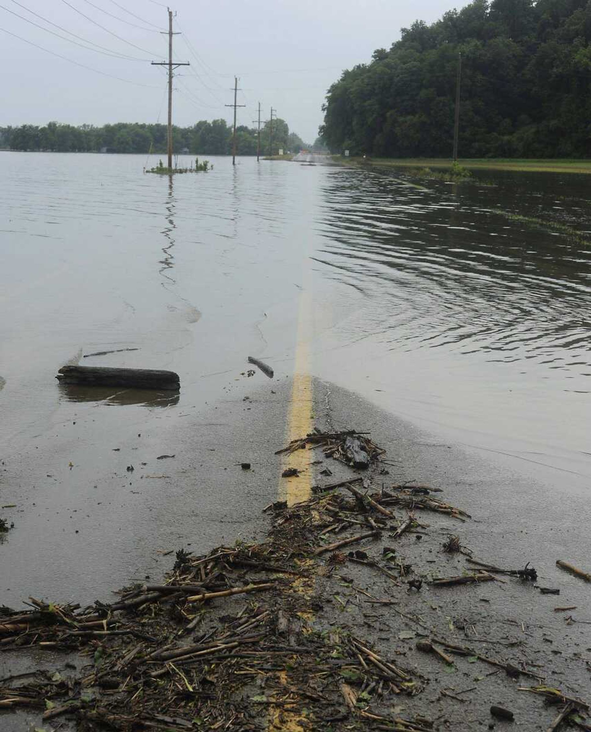
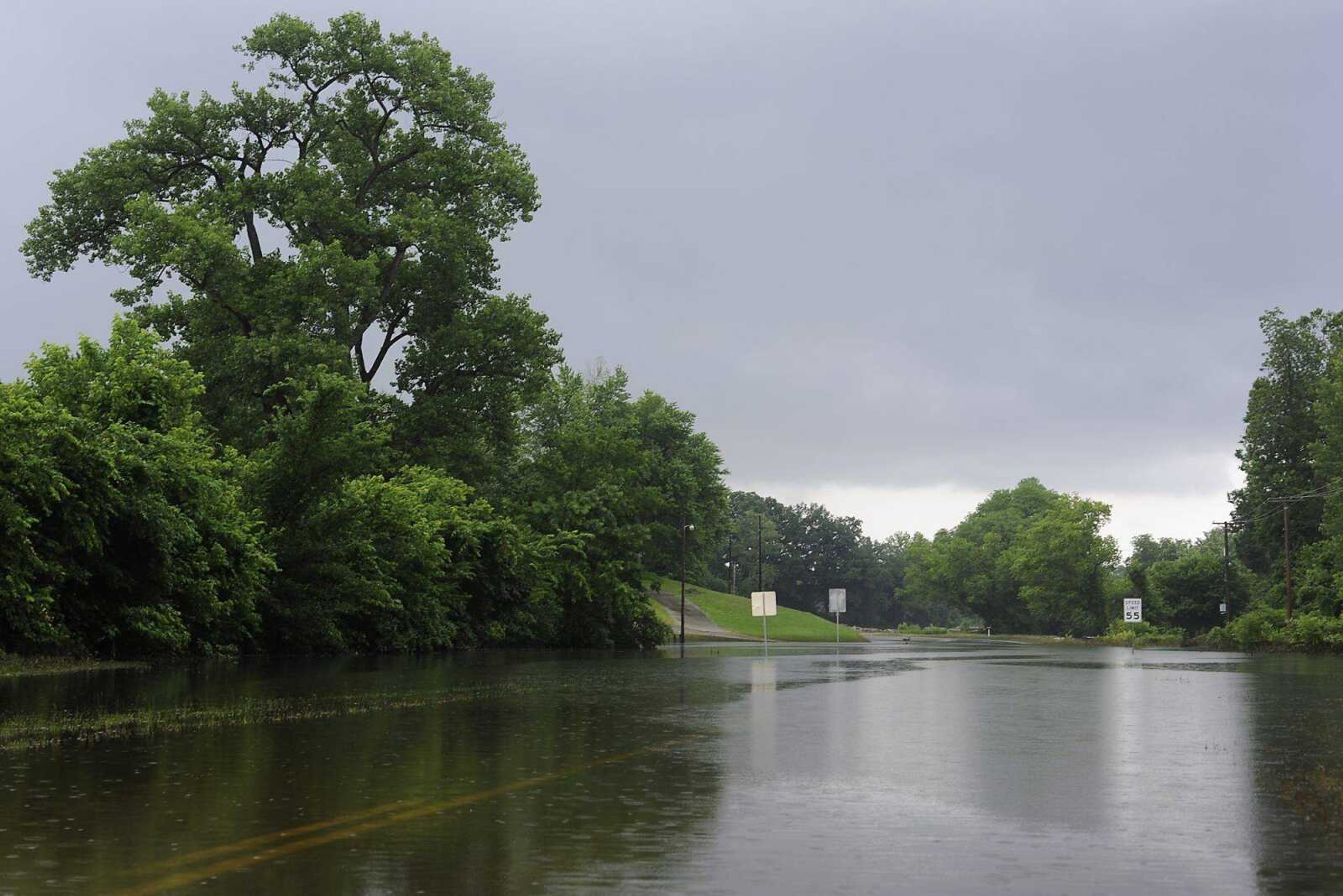
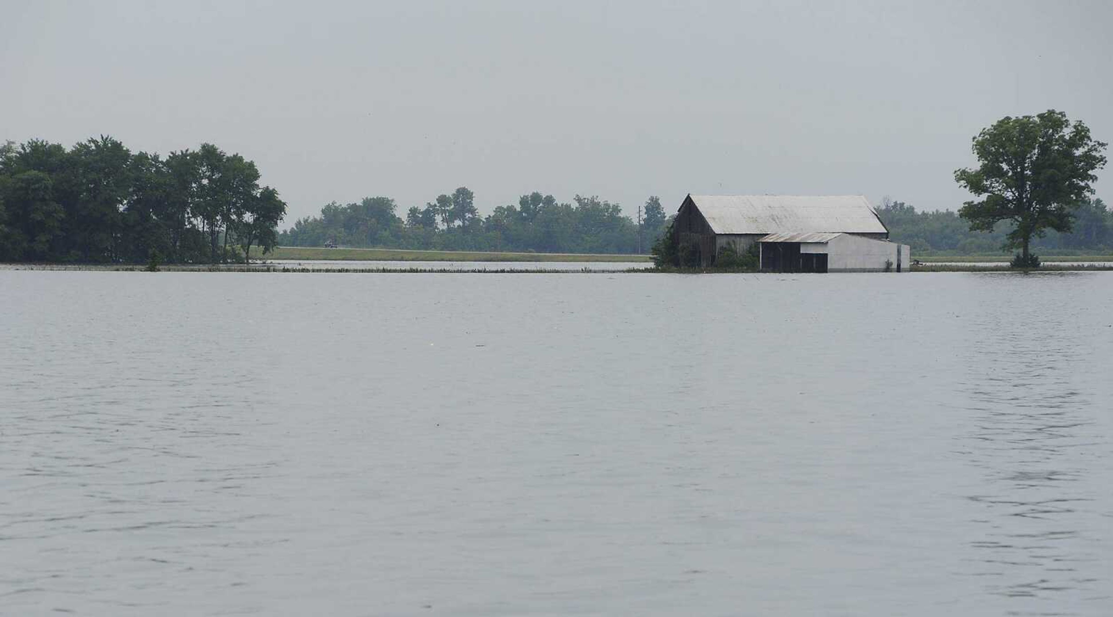
Floodwaters continued to force detours Sunday afternoon on city streets and state highways throughout Southeast Missouri. Highway 177 north of Cape Girardeau, several streets in an industrial area south of downtown and Highway 74 near Dutchtown all remained closed Sunday afternoon as a result of flooding, and debris on roadways revealed the waters had receded from higher levels...
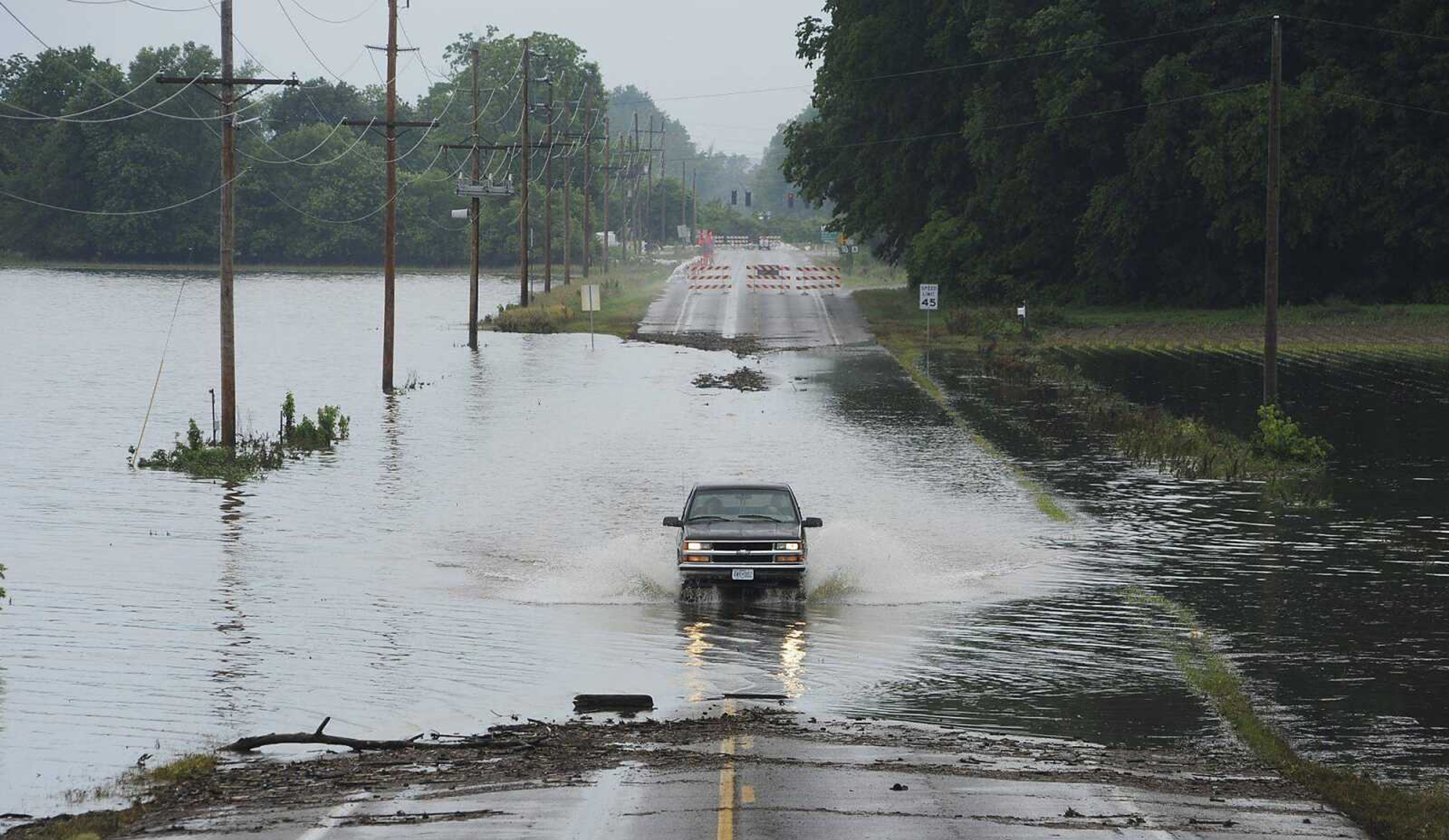
Floodwaters continued to force detours Sunday afternoon on city streets and state highways throughout Southeast Missouri.
Highway 177 north of Cape Girardeau, several streets in an industrial area south of downtown and Highway 74 near Dutchtown all remained closed Sunday afternoon as a result of flooding, and debris on roadways revealed the waters had receded from higher levels.
Rain fell over Cape Girardeau and the surrounding areas Sunday afternoon, but a National Weather Service meteorologist said the water level should continue to drop despite the new moisture.
"When it's on the actual area where it's actually flooding, that water's moving on down the same day," said Rachel Trevino, a meteorologist with the National Weather Service.
Rain would create bigger problems if it happened upstream, but no significant rainfall is expected north of Cape Girardeau in the next few days, she said.
Trevino said the Mississippi River was at 43.2 feet Sunday morning and is expected to fall to 39.7 feet by Wednesday.
"You're just going to continue a nice, slow fall for a while," she said.
Chris Burton and his mother, Tanya Hall, both of Burfordville, drove through the floodwaters across Highway 74 to check on a scrap yard where Burton works east of Dutchtown.
Burton said the water on the road was no more than two inches deep. The yellow line on the pavement was visible through the water.
Hall, who said she owns property in Dutchtown, is accustomed to the flooding.
Receive Daily Headlines FREESign up today!
"We went through this a lot -- this floodwater," she said. "We've watched this too many times."
Burton said he is tired of seeing his friends and former neighbors trapped by floodwater.
"When this town floods, they're stuck," he said. "… These people have had to hike through the woods to get out of here."
His mother said that trek is out of the question for some residents.
"There's a lot of sick people, old people. They can't make that hike," Hall said.
epriddy@semissourian.com
388-3642
Pertinent address:
Highway 74, Dutchtown, Mo.
Story Tags
Connect with the Southeast Missourian Newsroom:
For corrections to this story or other insights for the editor, click here. To submit a letter to the editor, click here. To learn about the Southeast Missourian’s AI Policy, click here.
Related


Advertisement
Receive Daily Headlines FREESign up today!
