NewsDecember 7, 2013
Afternoon weather update: Snow falling one inch per hour; 10 inches reported in some areas
Weather conditions continued to deteriorate into the afternoon as up to 10 inches of snow fell on top of communities trying to chisel out from under the ice and sleet that accumulated overnight. The National Weather Service in Paducah, Ky., reported about a quarter-inch of sleet and freezing rain fell overnight in Cape Girardeau...
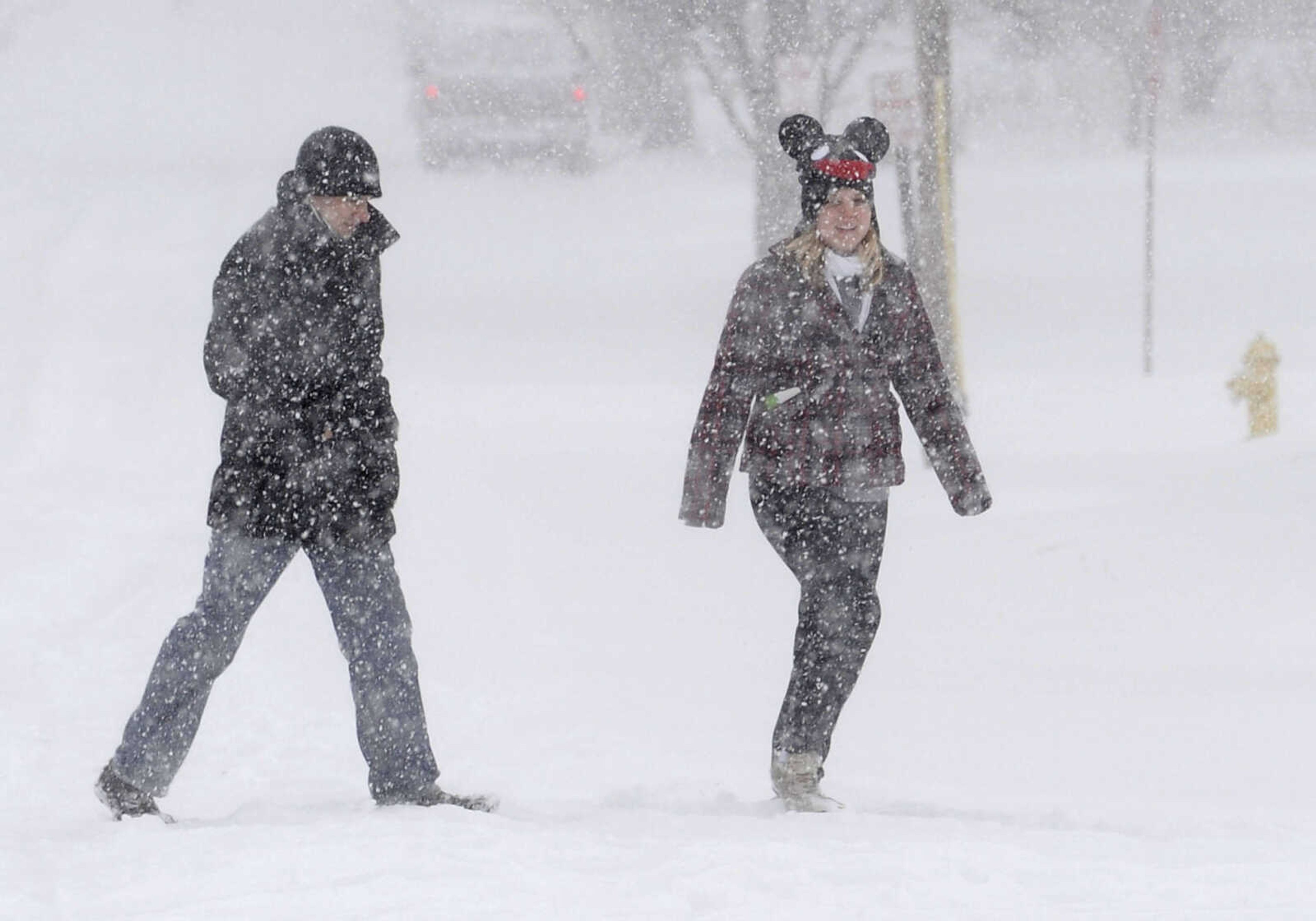
Weather conditions continued to deteriorate into the afternoon as up to 10 inches of snow fell on top of communities trying to chisel out from under the ice and sleet that accumulated overnight.
The National Weather Service in Paducah, Ky., reported about a quarter-inch of sleet and freezing rain fell overnight in Cape Girardeau.
The slow-moving storm exceeded forecasters' expectations: About 6 a.m., meteorologists were predicting about six inches of snow and sleet to accumulate in the next 12 hours.
But by 9:12 a.m., a trained spotter reported 7 inches of snow at Perryville Road and Stoddard Street in Cape Girardeau, and just before 1 p.m., the service adjusted its forecast to a total daytime accumulation of up to 10 inches.
"And that's on top of the quarter inch of sleet," said Robin Smith, meteorologist with the NWS in Paducah.
Receive Daily Headlines FREESign up today!
Smith said the weather system is traveling east at "a slower rate than what we anticipated."
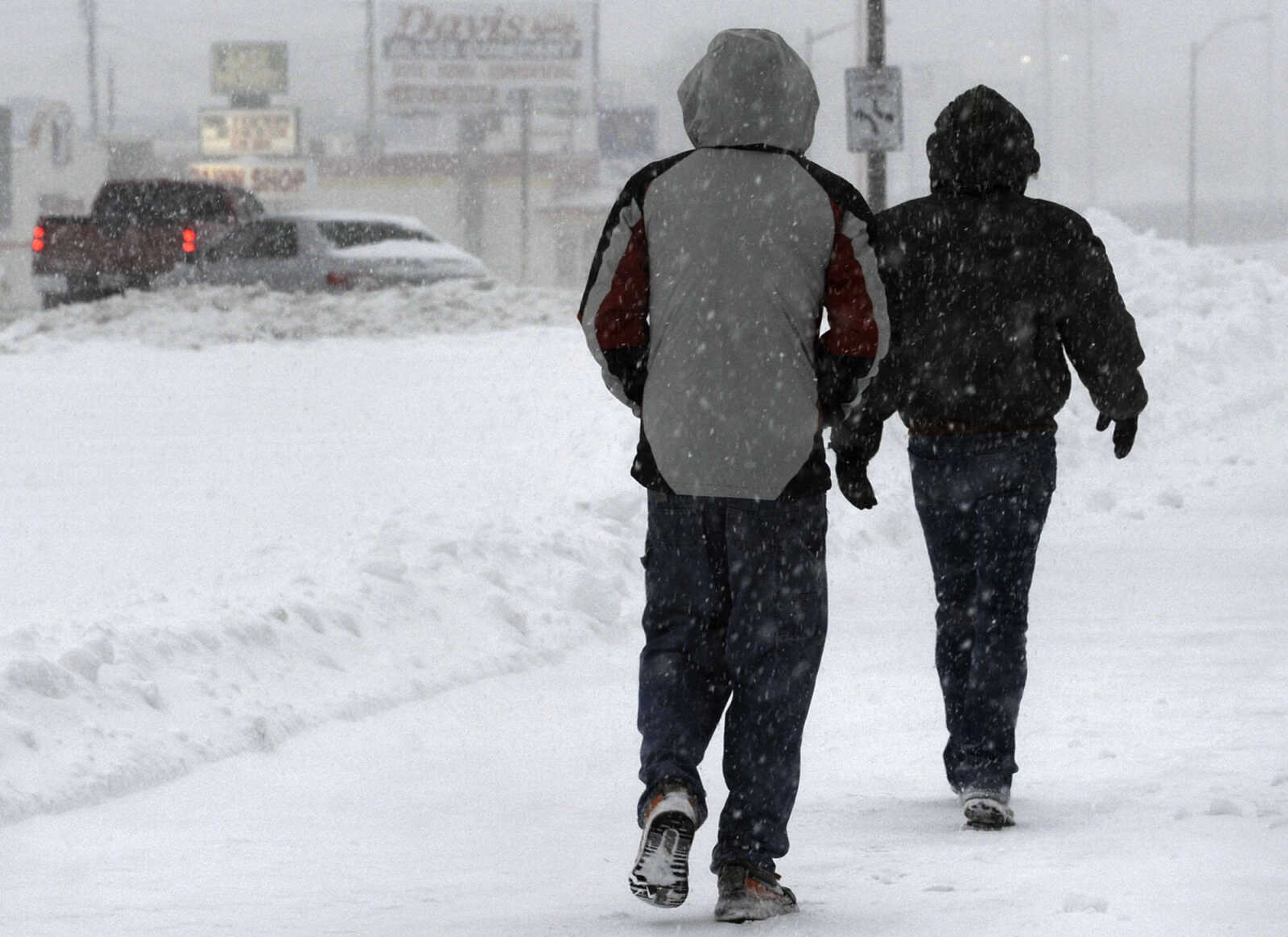
Perryville, Mo., seemed to be the hardest hit, with the National Weather Service receiving reports of nearly 10 inches of snowfall and snowdrifts up to 16 inches by 10:35 a.m.
To the south, 10 inches of snow followed the inch of ice and sleet that had accumulated in Poplar Bluff, Mo.
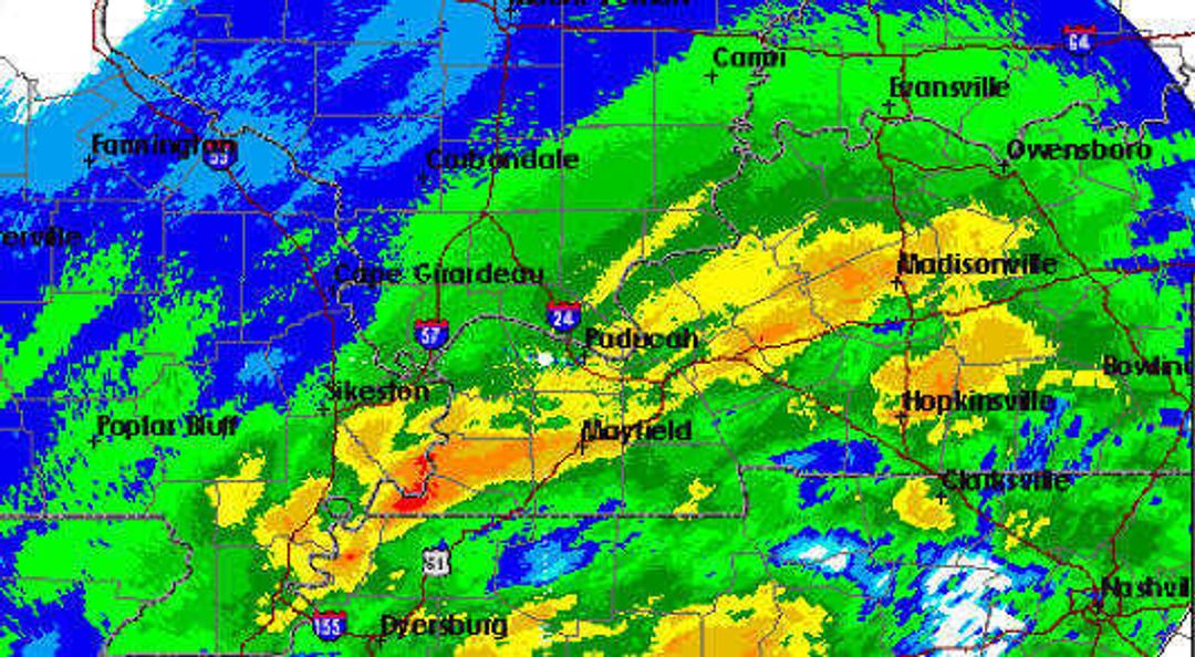
About 1 p.m., Beverly Poole, meteorologist with the NWS in Paducah, Ky., said north of Cape Girardeau, snow was falling about one inch per hour. South of Cape Girardeau and into the Bootheel, a sleet, freezing rain and snow mixture continued to fall, and about 2 to 4 inches had accumulated.
Conditions weren't much better in Illinois. By mid-morning, five inches of snow had covered an inch of sleet in Ware, Ill.
By 12:45 p.m., the Missouri Department of Transportation's online road map showed ice or snow covering nearly every road in the state south of St. Louis, with accidents and stalled cars forcing slowdowns or closures along U.S. 60 and Interstate 44.
Story Tags
Connect with the Southeast Missourian Newsroom:
For corrections to this story or other insights for the editor, click here. To submit a letter to the editor, click here. To learn about the Southeast Missourian’s AI Policy, click here.
Related


Advertisement
Receive Daily Headlines FREESign up today!
