NewsApril 4, 2014
Storms rock region
Storm season blew into Southeast Missouri with funnel clouds, hail and heavy rains Thursday evening. A thunderstorm crashed over Cape Girardeau County, causing flash flooding and creating traffic hazards in several areas. Just before 10 p.m., police dispatchers reported a downed tree completely blocking Highway 177, with water crossing the road...Southeast Missourian
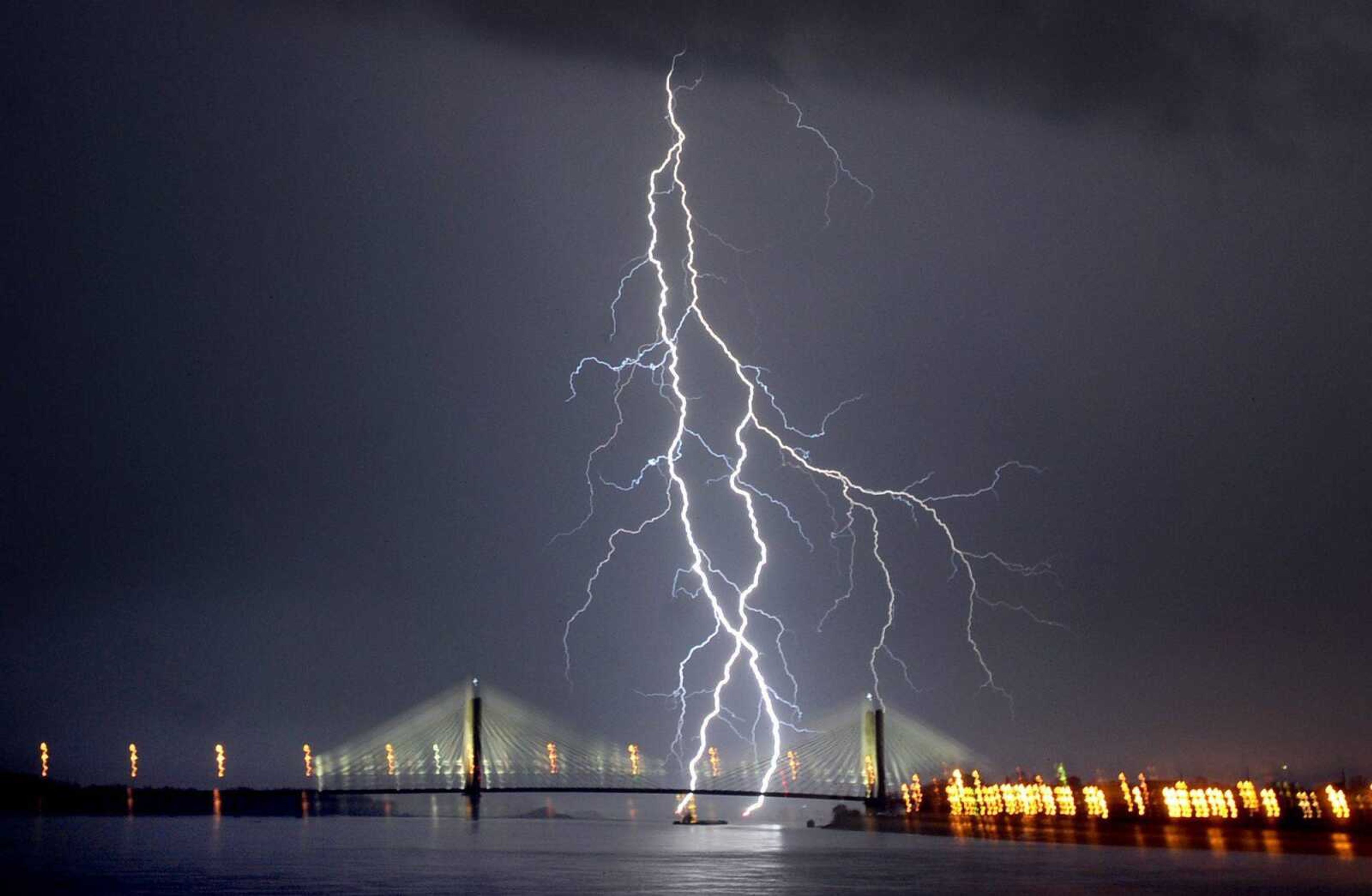
Storm season blew into Southeast Missouri with funnel clouds, hail and heavy rains Thursday evening.
A thunderstorm crashed over Cape Girardeau County, causing flash flooding and creating traffic hazards in several areas.
Just before 10 p.m., police dispatchers reported a downed tree completely blocking Highway 177, with water crossing the road.
Earlier in the evening, scanner traffic indicated water was covering the road in the 5300 block of County Road 621, and a culvert possibly had washed out near North Elementary School in Jackson.
At one point, dispatchers were relaying reports of golf-ball-sized hail in Jackson.
In Stoddard County, Mo., trained spotters saw quarter-inch hail and two funnel clouds, the National Weather Service reported.
Across the Mississippi River, an emergency manager in Union County, Ill., reported a funnel cloud with "strong rotation" near the intersection of Illinois highways 127 and 146, according to the National Weather Service.
Receive Daily Headlines FREESign up today!
Union County saw flash flooding, with multiple vehicles swept off the roadway, one homeowner rescued and a home with water as high as the electrical panel in Cobden, Ill., the service reported.
Farther afield, the National Weather Service reported flash flooding in Benton, Ill., and Marion, Ill., and tornado sightings in Butler County, Mo., while the Missouri Department of Transportation's traveler information map showed multiple road closures scattered across central Missouri.
The storm also appeared to have caused some power outages.
At 10 p.m., Ameren was reporting 683 customers without power in Scott County.
The weather seemed to have settled down by 10 p.m. in Cape Girardeau County, but by 10:15 p.m., three-quarter-inch hail was falling in Bollinger County.
A tornado watch remained in effect through 4 a.m. today for most of the region, including Bollinger, Cape Girardeau, Perry, Scott and Stoddard counties in Missouri and Alexander and Union counties in Illinois.
Cooler temperatures were expected to follow the storms, with the National Weather Service calling for a high of 59 degrees Friday and an overnight low of 34.
The forecast for Saturday was sunny but cool, with a high of 58 and a low of 39. The next chance of rain is Sunday, with showers likely and storms possible Sunday night.
Story Tags
Advertisement
Connect with the Southeast Missourian Newsroom:
For corrections to this story or other insights for the editor, click here. To submit a letter to the editor, click here. To learn about the Southeast Missourian’s AI Policy, click here.


Advertisement
Receive Daily Headlines FREESign up today!
