NewsFebruary 20, 2015
Weather woes expected to continue into weekend
In the words of one meteorologist, this weekend's weather outlook is "caca." Robin Smith at the National Weather Service in Paducah, Kentucky, said snow and sleet will begin today, then change to a wintry mix overnight. "The freezing rain and sleet is going to develop late Friday night ... probably shortly after midnight," Smith said...
In the words of one meteorologist, this weekend's weather outlook is "caca."
Robin Smith at the National Weather Service in Paducah, Kentucky, said snow and sleet will begin today, then change to a wintry mix overnight.
"The freezing rain and sleet is going to develop late Friday night ... probably shortly after midnight," Smith said.
A high temperature of 28 degrees is expected today, with a low of 27 and a wind chill of 0.
Officials in Jackson have decided to keep the snow route proclamation in effect until further notice in anticipation of the additional winter precipitation.
An email from Jackson Public Works director Rodney Bollinger said residents living on designated snow routes in Jackson are asked to keep their vehicles off the street so city crews can plow the entire width of the road. Vehicles that are not moved may be ticketed or towed to allow for plowing. Vehicles parked in the uptown historic district do not need to be moved.
The proclamation will end when the storm is over, the street has been cleared, and the city has notified media outlets about the proclamation's conclusion, Bollinger said in the email.
Smith said he's confident the temperature will remain above freezing Saturday -- but that's not necessarily good news.
Receive Daily Headlines FREESign up today!
"There actually may be thunderstorms Saturday," Smith said.
Heavy rain of 1 to 3 inches appears likely late today through Saturday evening, according to the National Weather Service.
The expected low Saturday morning is 27, with the high reaching 43.
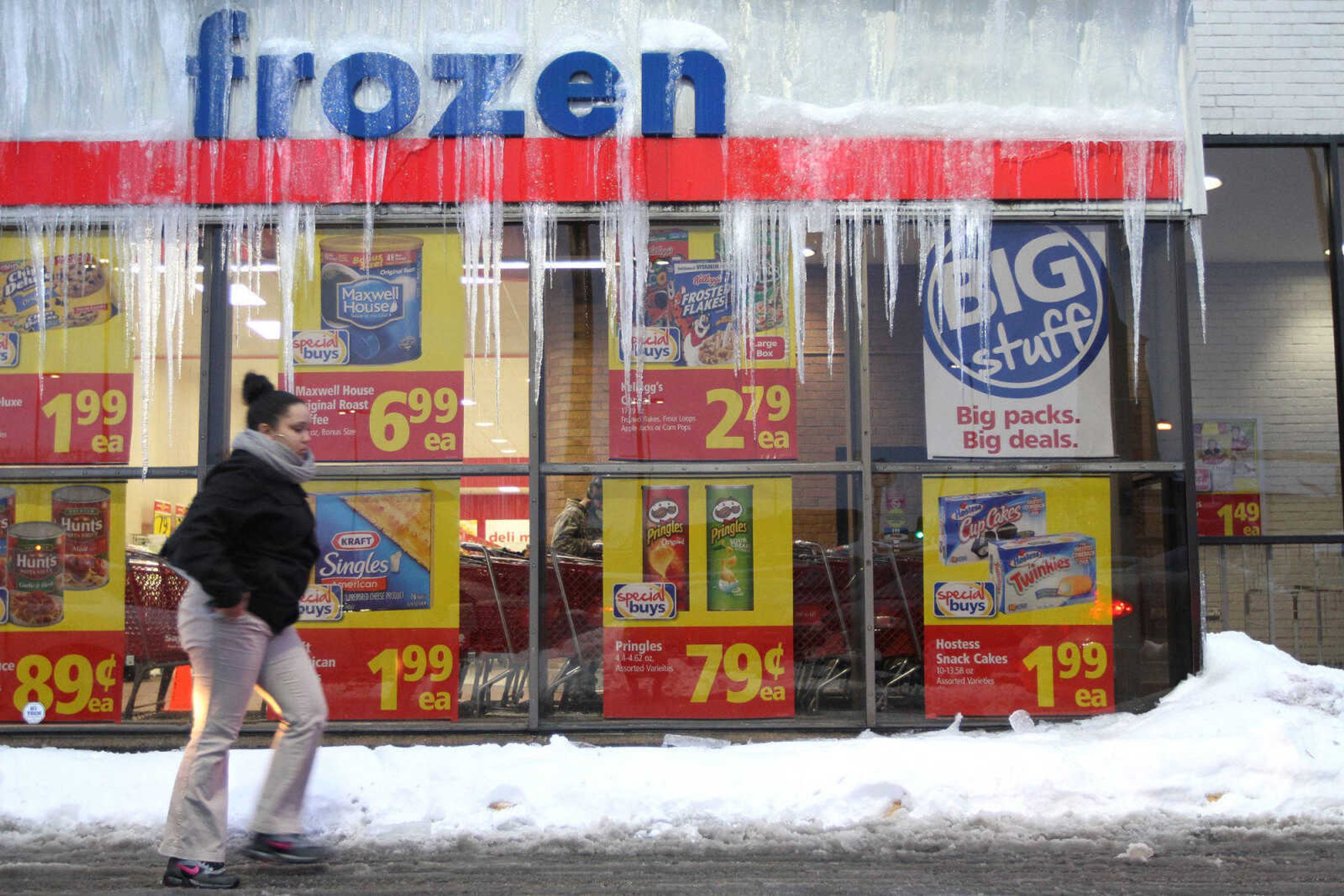
The area continues to dig out from between 9 and 12 inches of snow that fell earlier this week. Temperatures have been low enough all week to prevent much of it from melting. While similar accumulation is not expected with this round of precipitation, the slightly higher temperatures are likely to lead to other problems.
"That rain is going to compact and melt off a considerable amount of snow, which is going to lead to the possiblity of flash flooding throughout area," depending on the amount of rain the region gets Saturday into Sunday, Smith said.
There is a light chance of snow again Sunday. With the predicted temperature ranging from a high of 32 degrees to a low of 29, that snow could turn into rain or sleet, Smith said.
"So you see it's going to be a horrible mess over the weekend."
kwebster@semissourian.com
388-3646
Story Tags
Connect with the Southeast Missourian Newsroom:
For corrections to this story or other insights for the editor, click here. To submit a letter to the editor, click here. To learn about the Southeast Missourian’s AI Policy, click here.
Related


Advertisement
Receive Daily Headlines FREESign up today!
