LANDOWNERS DELAY PLANNED DETENTION BASIN NORTH OF CAPE
The city of Cape Girardeau and the U.S. Army Corps of Engineers will pursue federal condemnation procedures against four property owners in order to get land needed for a planned detention basin north of the city. The city wants to build a 157-acre dry detention basin on County Road 620 north of Route W as part of the Cape La Croix Creek/Walker Branch Flood Control Project...
The city of Cape Girardeau and the U.S. Army Corps of Engineers will pursue federal condemnation procedures against four property owners in order to get land needed for a planned detention basin north of the city.
The city wants to build a 157-acre dry detention basin on County Road 620 north of Route W as part of the Cape La Croix Creek/Walker Branch Flood Control Project.
But four property owners' refusals to sell to the city are holding up progress on the project.
The city has faced a long list of legal challenges in trying to get the detention basin built.
The city originally tried to condemn the property needed through the state court system. But in April 1992, a judge ruled the city didn't have the authority to condemn property outside the city limits.
A year later, the Missouri Court of Appeals Eastern District overturned that ruling.
In 1995, Judge Michael Bullerdieck of Perryville ruled the city hadn't made valid offers for the property in question.
In 1996, the city resumed negotiations with property owners, but reached a stalemate again with the four of the final six parcels needed for the project.
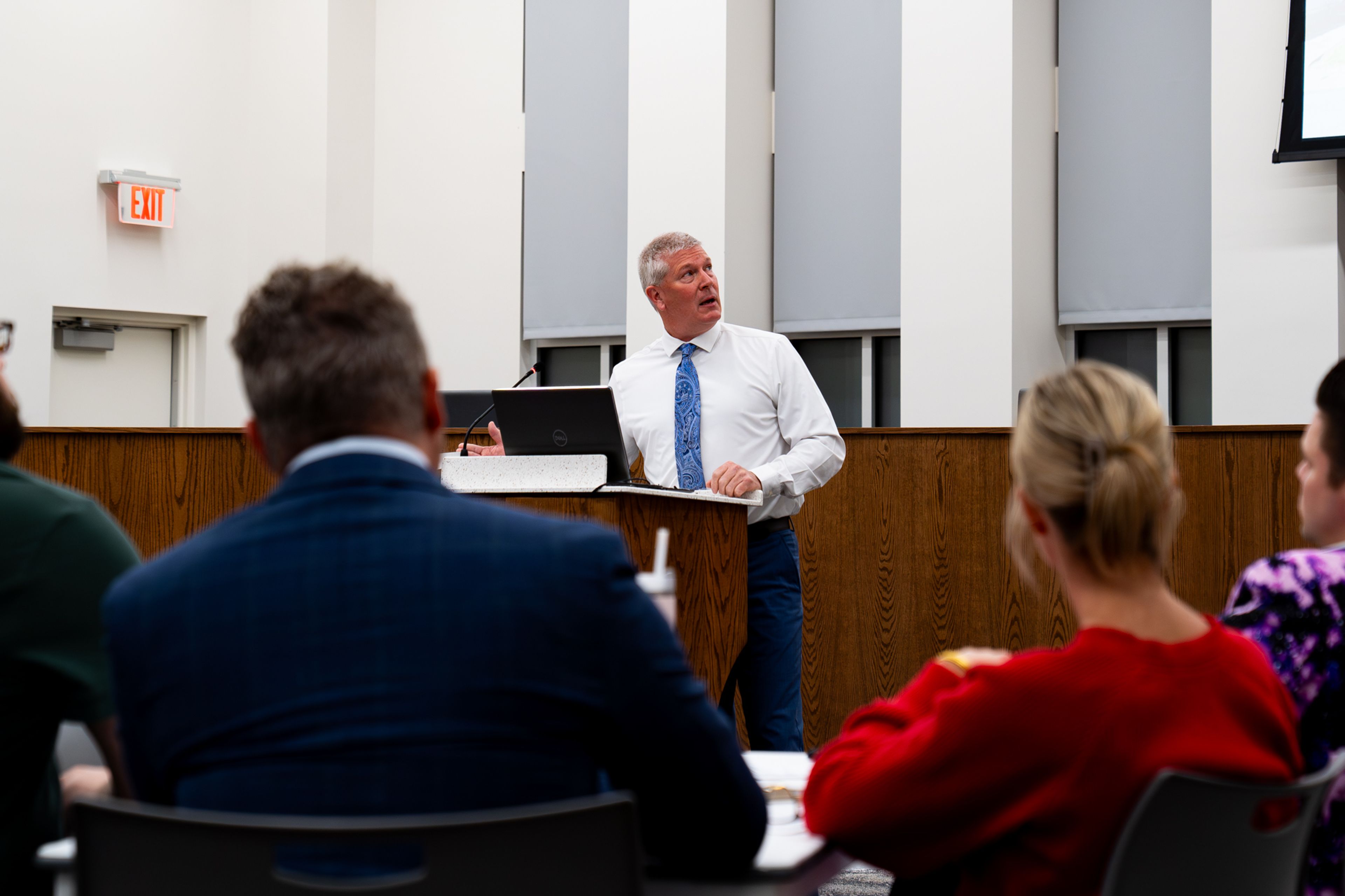
Since the city hasn't had any luck going through the state courts, they decided to go the federal route, said Ken Eftink, the city's development services coordinator.
The City Council this week authorized City Manager Michael Miller to enter into an agreement with the Corps of Engineers to pursue condemnation in federal court.
The proceedings should begin in mid- to late April, Eftink said, and will probably take 60 to 90 days.
When a judge rules against a city in a condemnation suit, Eftink said, the city has to "start over again at square one" with a new round of property appraisals and negotiations.
The city has made its latest offer to the four property owners in question, and those have been rejected.
"So this is the next step we have to take in the public interest of getting that reservoir built," he said.
The Corps of Engineers has prepared cost estimates for each of the parcels in question. Each estimate includes the appraised value of the land itself plus a 30 percent contingency and $11,200 for administrative expenses.
For the Charles F. Blattner and Joyce E. Blattner Trust and the Jerry E. Erlbacher Trust on the Route W Mobile Home Park property, total cost estimate is $112,405, including the appraisal of $77,850, a contingency of $23,355 and the $11,200 for administrative expenses.
For the Mirly B. Hahs Estate, the total estimate is $106,620, including the appraisal of $73,400, a contingency of $22,020 and $11,200 for administrative fees.
For the Kassel and Jett property, total cost estimate is $396,858, including the appraisal of $296,660, plus a contingency of $88,998 and the $11,200 for administrative fees.
And total estimate for the Masters Farms, Inc., is $219,070, including the appraisal of $159,900, a contingency of $47,970 and the $11.200 for administrative expenses.
City officials hope to have the condemnation procedures finished by mid-summer.
Plans call for installing a sanitary sewer line to serve the area this fall. Once the city acquires the property needed for the project, the land will be annexed into the city limits. The sewer line will serve any development that occurs there.
Construction of a dam that would essentially create the detention basin is planned to start in early 1999, Eftink said.
"What will happen is during a major storm event, water would pond behind the large dam the city's building," he said.
The dam would slow the flow of water "that would normally be rushing through the city during the rain or right after it."
With the detention basin, the water would be released "over a period of days," thus reducing flooding along Cape La Croix Creek and Walker Branch.
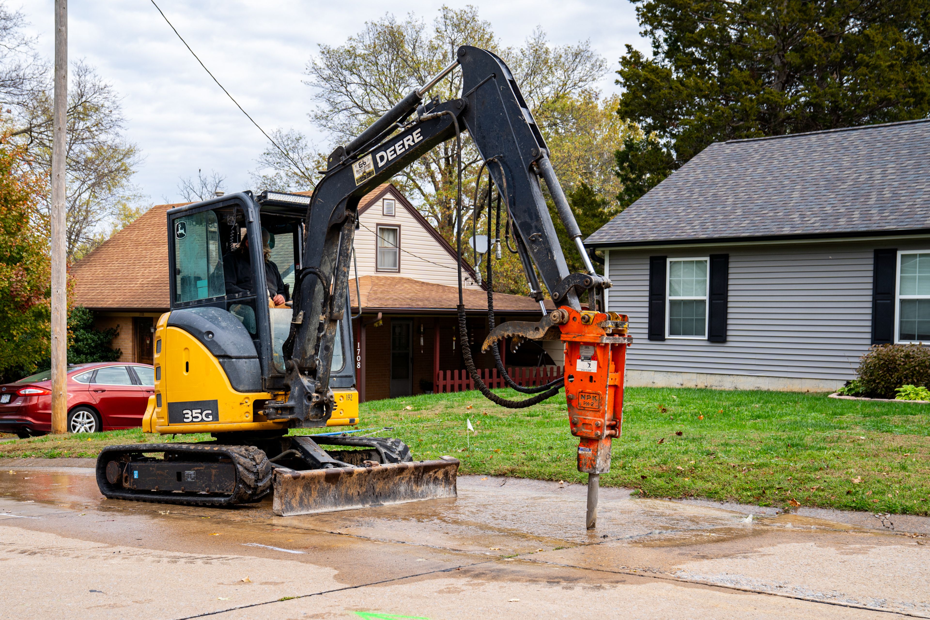
The city has begun work on channeling Walker Branch from north of Kingsway Drive to the intersection of Cape Rock Drive and Perryville Road.
Work has already been completed on improving channels on Cape La Croix Creek from Brink Street to Arena Park and on Walker Branch along Kingshighway.
The detention basin and extension of the city's hiking/biking trail through the project area are the final steps of the flood control project.
"The engineers have always considered the dry detention reservoir one of the most important parts of the flood control project," Eftink said.
The Cape La Croix Creek/Walker Branch project was designed to reduce flooding in the commercial area along Kingshighway.
In 1986, a band of storms and tornadoes ripped through the region. Flash flooding killed two elderly residents in Cape Girardeau and caused an estimated $56 million in damages to homes and businesses, mostly on the city's west side.
Connect with the Southeast Missourian Newsroom:
For corrections to this story or other insights for the editor, click here. To submit a letter to the editor, click here. To learn about the Southeast Missourian’s AI Policy, click here.


