REGION CAN EXPECT MORE WARM AND WET WEATHER
The National Weather Service says more warm and wet weather is ahead for Southeast Missouri and Southern Illinois this month. But the weather service's long-range, 90-day outlook, through the end of July, suggests temperatures here will average near to slightly above normal, while precipitation will average near to slightly below normal...
The National Weather Service says more warm and wet weather is ahead for Southeast Missouri and Southern Illinois this month.
But the weather service's long-range, 90-day outlook, through the end of July, suggests temperatures here will average near to slightly above normal, while precipitation will average near to slightly below normal.
After a dry March, April was warmer and much wetter than normal, said Al Robertson of the earth science department at Southeast Missouri State University.
Robertson said the April average temperature was 61.3 degrees, up nearly three (2.9) degrees from the long-term average.
Robertson said precipitation last month at the airport totaled 5.87 inches, up 1.4 inches from the long-term average of 4.47 inches.
He said there were 18 days last month when the high was at or above 70 degrees. On 10 days, the high was in the 60s, and on two days, the afternoon high was only in the 50s.
The high for the month was 82 degrees, on April 17. The low for the month was 39 degrees, on April 1. "There were four mornings when the low was in the 40s, and four mornings when the low was in the 60s," he said.
Robertson said the month started out warmer than normal. Mild weather continued during the middle of the month, followed by slightly warmer temperatures at the end of the month.
The 10-day temperature averages were:
April 1-10, 62 degrees, up 8.3 degrees from the long-term 53.7 degrees.
April 11-20, 60.1 degrees, up 1.9 degrees from the long-term 58.2 degrees.
April 21-30, 61.8 degrees, down half a degree from the long-term 62.3 degrees.
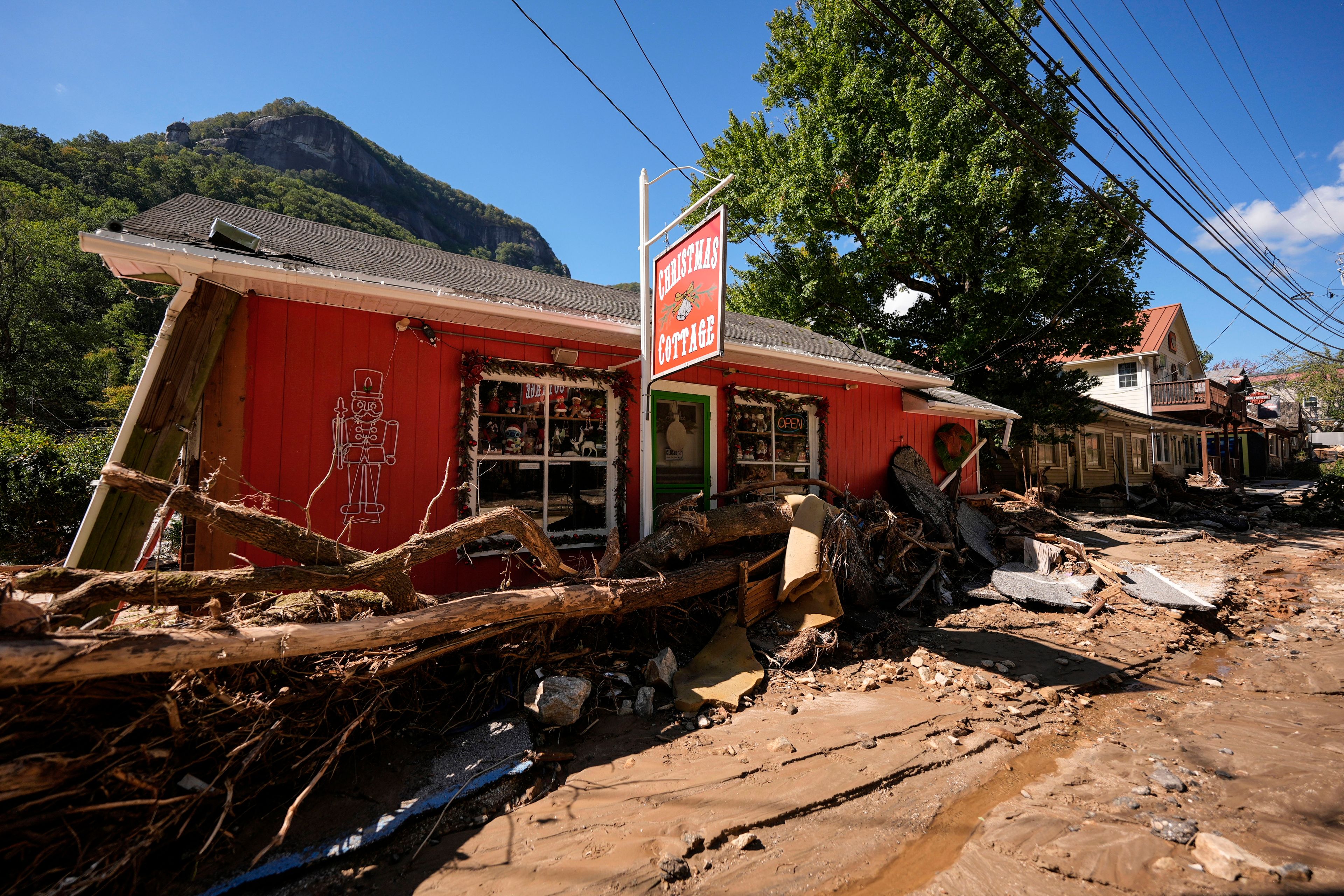
Robertson said the jet stream steered large amounts of moisture into the area causing lots of rain and periods of thunderstorm activity during much of the month.
"We had 13 rainy days last month," he said. "The wettest day was April 13 when 2.15 inches fell at the airport."
A lot of that rain fell on the weekends, spoiling many outdoor plans and activities. Robertson said it was either raining, or was cloudy and cool on all five weekends in April.
He said farmers were late getting their fields seeded, and homeowners had to mow the grass between the showers.
For the period, Jan. 1 - April 30, precipitation at the airport totaled 15.29 inches, which is pretty close to the long-term average of 15.24 inches.
Robertson said the long-term average temperature for May is 67 degrees. Last year's average was 64.7 degrees, down 2.3 degrees from the long-term average. Robertson said last year's cooler, wet weather occurred because the jet stream remained south of this region until late May.
The high for the month last year was 84 degrees, on May 15. The low was 41 degrees, on May 15.
The record high for May is 95 degrees, set on May 16, 1962, and tied on May 17, 1962 and May 31, 1969.
The record low for May is 30 degrees, set on May 4, 1954 and tied on May 17, 1968.
Last year, 8.83 inches of rain fell during May, compared to the long-term average of 4.74 inches.
The record amount of rain to fall on a single day in May is 6.64 inches on May 15, 1986. That storm occurred in conjunction with tornadoes that swept through the Sikeston and Vanduser areas. The rainfall caused extensive flood damage to homes and businesses along Cape LaCroix and Walker creeks on the west side of Cape Girardeau.
Connect with the Southeast Missourian Newsroom:
For corrections to this story or other insights for the editor, click here. To submit a letter to the editor, click here. To learn about the Southeast Missourian’s AI Policy, click here.


