Pennsylvania commission hears testimony about mine safety
JOHNSTOWN, Pa. -- A commission formed after the mining disaster that left nine men stranded underground for three days heard testimony that better maps could help prevent future accidents. The Quecreek Mine accident in July was blamed on an outdated map that led miners to breach a water-filled abandoned mine they thought was 300 feet away...
JOHNSTOWN, Pa. -- A commission formed after the mining disaster that left nine men stranded underground for three days heard testimony that better maps could help prevent future accidents.
The Quecreek Mine accident in July was blamed on an outdated map that led miners to breach a water-filled abandoned mine they thought was 300 feet away.
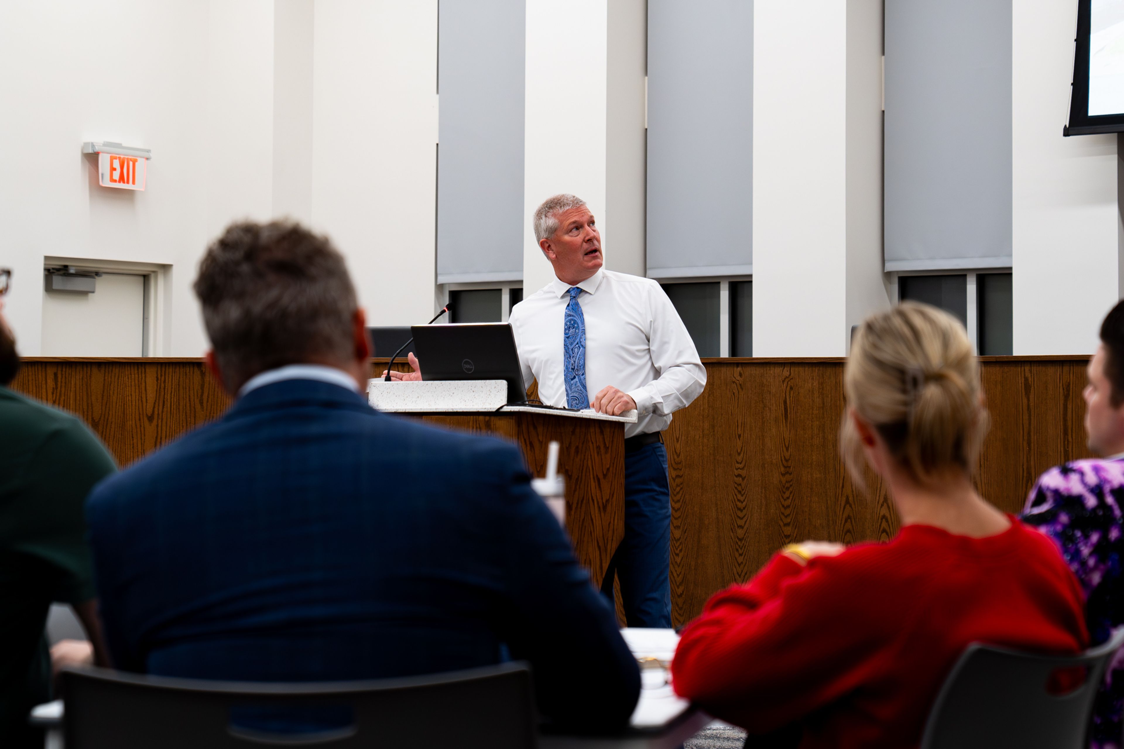
The commission, appointed by Gov. Mark Schweiker, heard testimony Thursday that addressed everything from training to the effects of deregulation on mine safety. The panel includes academics, miners, and government scientists.
Timothy Hroblak, of the United Mine Workers of America, testified that state mining officials should check old maps against state mine production records that go back more than 100 years.
The most recent map of the Saxman Mine, which flooded the Quecreek Mine, was made in 1957, but state records show coal was being produced there as late as 1963.
Bill Plassio, a district mining manager for the Department of Environmental Protection, said state officials were unaware of production records for the Saxman Mine when they approved a permit for Quecreek.
Connect with the Southeast Missourian Newsroom:
For corrections to this story or other insights for the editor, click here. To submit a letter to the editor, click here. To learn about the Southeast Missourian’s AI Policy, click here.


