Myths, legends surround Cape Rock historic site
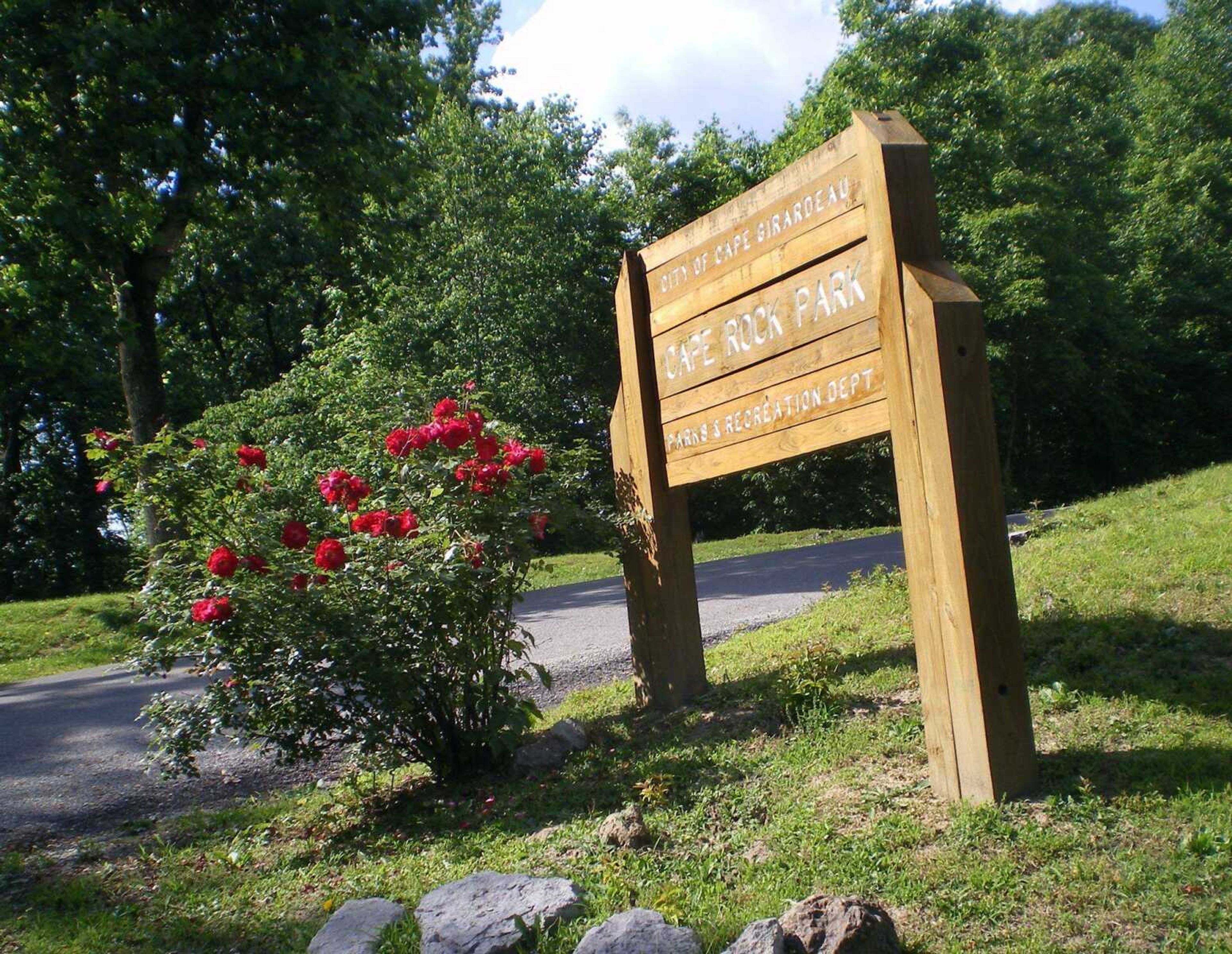
The smell of honeysuckle fills the air at Cape Rock Park on the Mississippi River, just north of Cape Girardeau City limits. Cars pass through the entrance of the park dotted with rose bushes, and continue up the circle drive that surrounds the remainder of a natural rock promontory at the river's edge...
~ Some visitors stop and climb the stairs to the top of the hill to read the plaques that tell of the adventures of Jean B. Girardot and Lewis and Clark.
The smell of honeysuckle fills the air at Cape Rock Park on the Mississippi River, just north of Cape Girardeau City limits. Cars pass through the entrance of the park dotted with rose bushes, and continue up the circle drive that surrounds the remainder of a natural rock promontory at the river's edge.
Some visitors stop and climb the stairs to the top of the hill to read the plaques that tell of the adventures of Jean B. Girardot and Lewis and Clark. Down below, close to the railroad tracks, past thick groves of trees that separate the upper and lower sections of the park, people stop and watch the water roll quickly by.
Myths and legends surround the history of Cape Rock. One says the nearby whirlpools are caused by boats at the bottom of the river. Another says to make room for the railroad to be built between the bluffs and the river, that the original point of the promontory was blown off with dynamite in the early 1900s.
Dr. Frank Nickell, director of the Center for Regional History at Southeast Missouri State University, said there is no truth to the myth that boats actually cause the whirlpools, but over the years many have overturned there. The whirlpools are really caused by the narrowing of the river and the natural flow of the water. He also said the railroad story is "more fiction than fact," although there was a reshaping of the area in 1903 when the tracks came to Cape Girardeau.
Nickell said Cape Rock has always had a prominent place in Cape Girardeau history.
Around 1730 when the French fur trader Girardot landed at Cape Rock to trade with Native Americans and found a settlement, he didn't know of the impact of the small bend in the river on the natural geography of Southeast Missouri, and likely could not fathom what Cape Girardeau would become.
"Cape Rock was a key factor in shaping the first settlement," Nickell said. He said the first settlers came to north of Cape Rock because the land was flat next to the river and easily accessible, and perhaps as early as 1748 the area that now holds the country club golf course was the first Cape Girardeau. Around 1795, Louis Lorimier received a land grant four miles south, which would lead to the city's founding further down the river. Nickell said despite the move, Cape Rock remained a fixture and observation point for residents.
When the railroad to St. Louis was built in the early 1900s, Cape Rock was the telltale sign for travelers that they were getting close to home.
The natural history of Cape Rock is prominent in shaping the way parts of the Mississippi River valley look today.
Nickell said Cape Rock is a vestige of the old landscape.
"Around 13,000 years ago, the last big glacier emerged," he said. "A 1-mile thick layer of ice slowly inched southward, pushing dirt, rocks and trees to make a natural dam."
Nickell said the melting along the front of the glacier caused a torrent of water that shaped the landscape south of Cape Rock. The torrent formed the high bluffs along the river from near Herculaneum south to Trail of Tears.
"Cape Rock shaped the land where Cape Girardeau now is," said Nickell. "It was not high, but a very hard rock, so the water just went around it," he said.
Nickell said when Crowley's Ridge was hit by the torrent, whole sections were washed away, leaving "outcropping bumps" or "knobs" that look like lone, round hills in the landscape, as now seen in the area to the southwest of Cape Girardeau, close to Chaffee and Advance. The area to the south became swamps over thousands of years as the water continued to bring down silt and fill the land.
Connect with the Southeast Missourian Newsroom:
For corrections to this story or other insights for the editor, click here. To submit a letter to the editor, click here. To learn about the Southeast Missourian’s AI Policy, click here.


