FeaturesJune 23, 2013
Lake Wappapello in tip-top shape
WILLIAMSVILLE, Mo. -- Visitors to Lake Wappapello State Park this summer will find the familiar quiet coves for crappie fishing amid many park facilities that are brand new. "The park looks better than ever," said Wanda Doolen, natural resource manager of the park in Southeast Missouri. "There were a lot of silver linings to what happened."...
Tom Uhlenbrock
WILLIAMSVILLE, Mo. -- Visitors to Lake Wappapello State Park this summer will find the familiar quiet coves for crappie fishing amid many park facilities that are brand new.
"The park looks better than ever," said Wanda Doolen, natural resource manager of the park in Southeast Missouri. "There were a lot of silver linings to what happened."
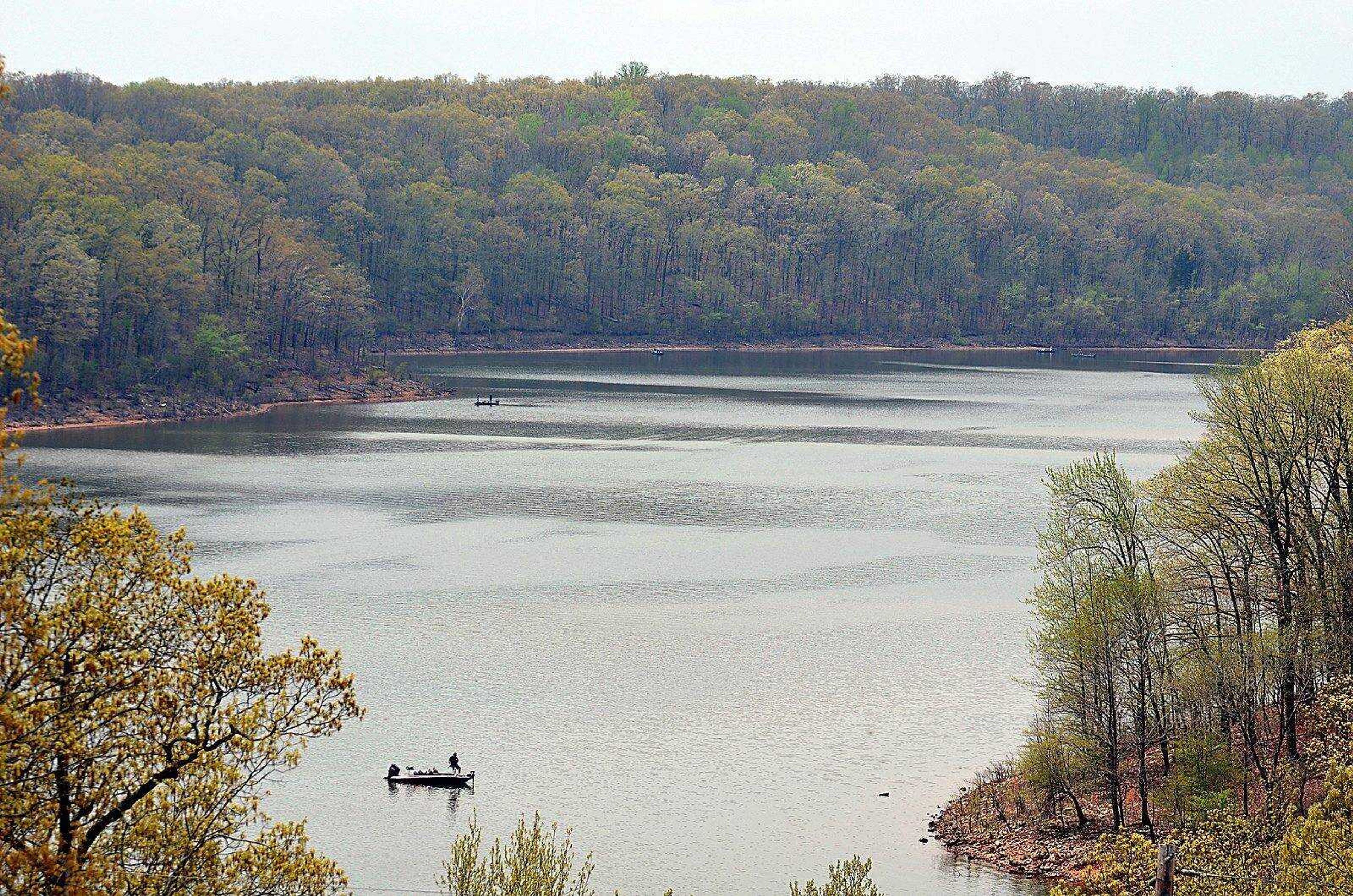
In 1941, the Army Corps of Engineers completed construction of a dam on the St. Francis River near the little railroad town of Wappapello. The dam created an 8,400-acre lake at normal pool. In 1957, the corps donated a lease on 1,854 acres on the west side of the lake for a state park.
Lake Wappapello State Park became the first of the big reservoir parks in the state system, and remains one of the prettiest with its clear, shallow water and steep, wooded hillsides. Like other corps lakes, there is no development on the shore line.
Spring of 2011 brought heavy rains that flooded rivers throughout Southeast Missouri. The rampaging St. Francis River flowed into Lake Wappapello and raised the lake to historic levels, overtopping the spillway and inundating the park with floodwaters.
"It created a pool over the entire lake that was 40 feet deeper than ever before -- that's pretty unimaginable," Doolen said. "The main highway through the park is on the ridge top, with the amenities down by the water where the people want them.
"Our cabins and camper cabins were on the ridges, but our campgrounds were underwater, our beaches were underwater, our shelter houses were underwater. We had 40 feet of water over everything for two months."
The U.S. Department of Labor approved a national emergency grant because of the storms that raked Missouri that spring, including tornadoes that hit Joplin and St. Louis. About $750,000 was used to repair Lake Wappapello State Park. Sam A. Baker State Park, which sits on the St. Francis River at the northern edge of the lake, also received funds for repairs.
The Disaster Recovery Jobs Program was created to hire people affected by the storms to do the repair work.
"We had 22 people working at Wappapello through the program." Doolen said. "The jobs went to people who had lost work as a direct result of the disaster. It was a way to get people back to work until they could find permanent jobs."
Receive Daily Headlines FREESign up today!
A windstorm damaged roofs on nine buildings. Some $2 million in federal disaster relief funds was used to get the park back into shape.
Kayaking in treetops
On a drive through the park, Doolen pointed out yellow lines painted across the blacktop roads to record the high-water mark. Everything below was under water, and has been repaired or replaced.
"There are new signs and bulletin boards, new grills and tables at the picnic and camping sites, new retaining walls where the wave action caused erosion, " she said. "This is a nice little picnic area that we rebuilt. The boats will pull into the cove and they get out to have lunch here."
At the park's beach, workers were spreading sand near the rebuilt restroom.
"We were kayaking on the tops of those trees, trying to figure out where the building was under the water," Doolen said. "We were 35 feet above it."
While the park is popular for its water recreation, it also has 25 miles of trail, nearly half open to mountain biking and equestrian and some with backpacking camps. The workers removed flood debris from the trails, and cleared trees that had been knocked down in a wind storm.
Doolen led the way on the Allison Cemetery Trail, a 2.5-mile loop with lake views that goes by the pre-Civil War Allison-Connor Cemetery. A statue of an angel with wings spread looks over the cemetery; she had been up to her head in floodwaters.
"The cemetery is one of the first areas we worked on," Doolen said. "We removed flood debris and put the toppled markers back in place. We had some records that showed who should be buried where. People really enjoy visiting the cemetery. You get to see the old markers and connect to the people who were here before the lake."
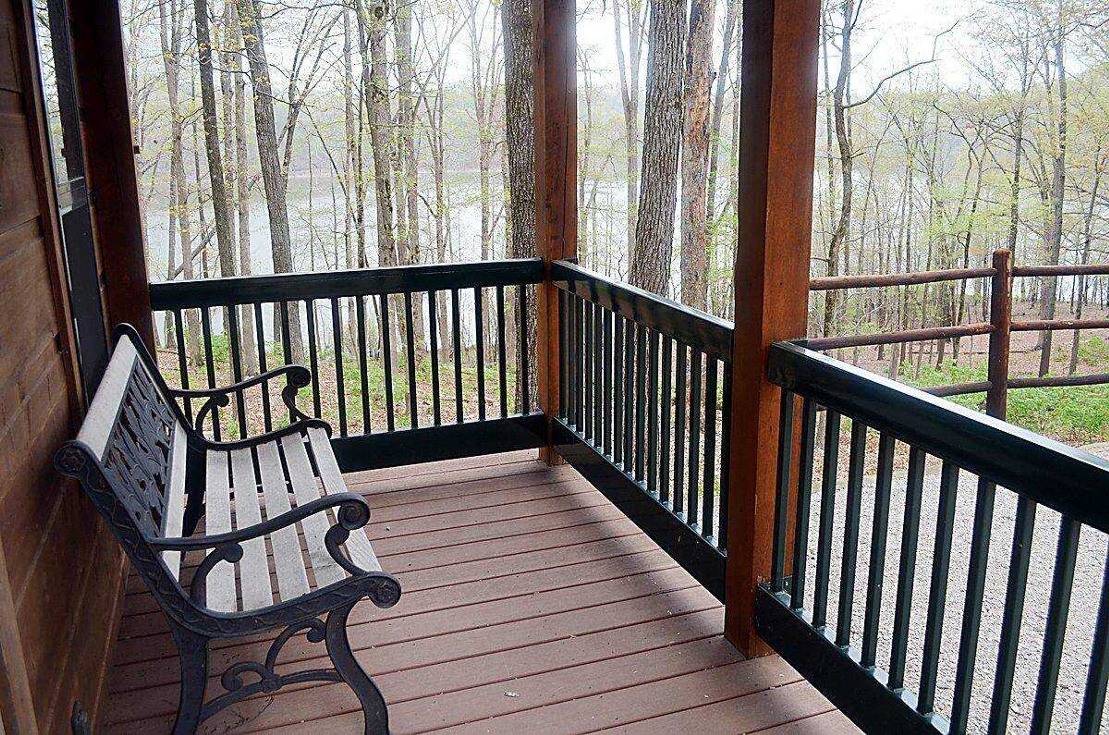
The park has 12 fully equipped cabins, including four camper cabins with views of the lake, and 79 campsites at two campgrounds, all except four with electric. The three paved boat ramps are free.
For more information, visit mostateparks.com.
Story Tags
Connect with the Southeast Missourian Newsroom:
For corrections to this story or other insights for the editor, click here. To submit a letter to the editor, click here. To learn about the Southeast Missourian’s AI Policy, click here.
Related


Advertisement
Receive Daily Headlines FREESign up today!
